Glenmayne Pool
Lake, Pool, Pond, Freshwater Marsh in Roxburghshire
Scotland
Glenmayne Pool

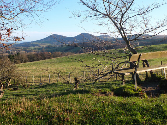
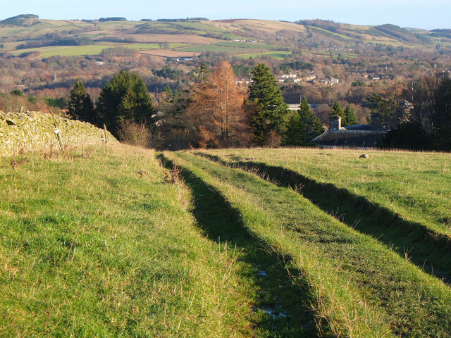
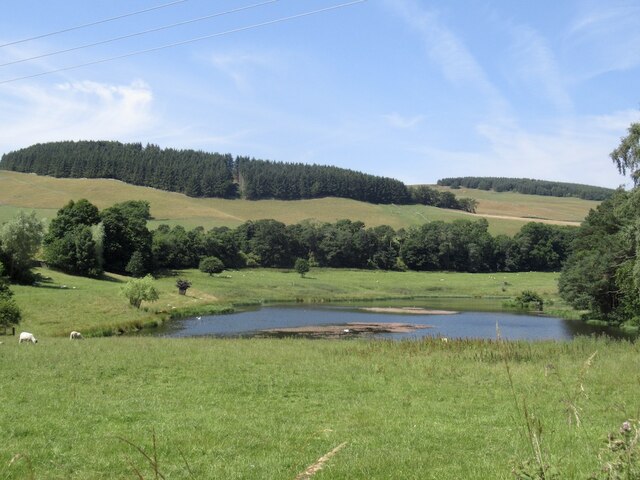
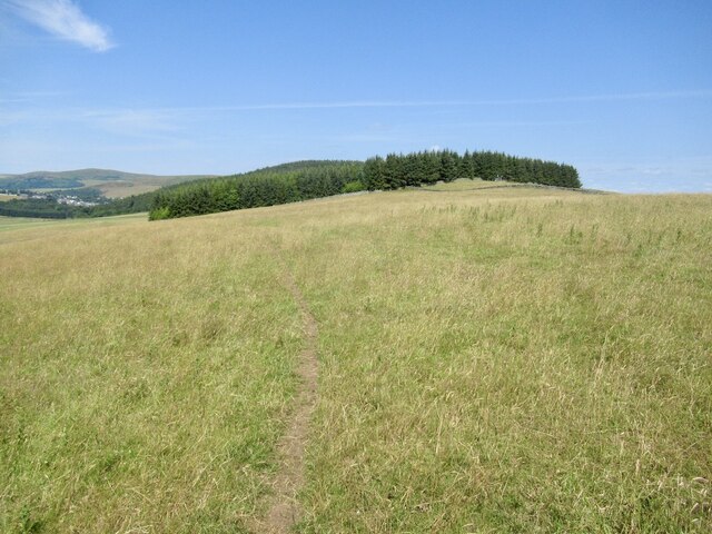
Glenmayne Pool, located in Roxburghshire, is a picturesque freshwater marsh that spans across a scenic landscape. Nestled amidst rolling hills and lush greenery, this pool is a hidden gem for nature enthusiasts and birdwatchers alike.
The pool itself is a small body of still water, surrounded by a diverse array of plant life and wetland vegetation. Its calm and serene surface reflects the surrounding environment, creating a peaceful ambiance for visitors. The pool is fed by natural springs and rainwater, ensuring a constant supply of freshwater throughout the year.
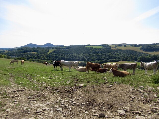
The surrounding area is rich in biodiversity, making Glenmayne Pool a haven for various species of flora and fauna. The wetland vegetation provides an ideal habitat for a range of aquatic plants, such as water lilies and reeds, while the marshy terrain attracts a plethora of bird species. Birdwatchers can spot an array of waterfowl, including ducks, herons, and swans, as well as smaller songbirds that inhabit the surrounding woodlands.
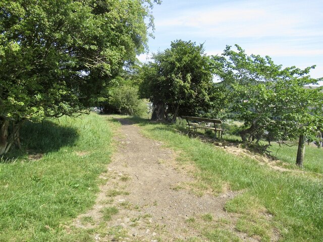
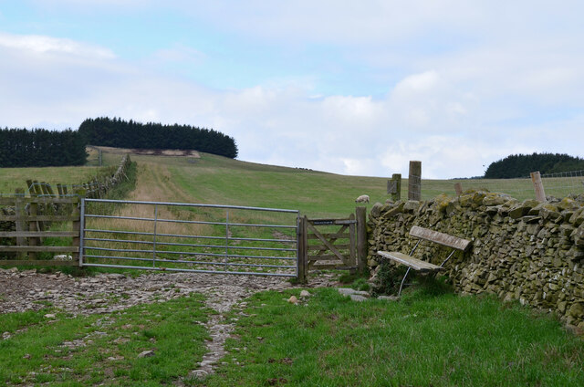
Glenmayne Pool offers a tranquil retreat for visitors seeking solace in nature. The surrounding landscape provides ample opportunities for hiking and exploring, with scenic trails winding through the nearby hills and woodlands. Nature lovers can also enjoy picnicking by the poolside, immersing themselves in the serene atmosphere.
Overall, Glenmayne Pool is a charming freshwater marsh that enchants visitors with its natural beauty and abundant wildlife. It serves as a vital ecosystem, supporting a diverse range of plant and animal species, making it a must-visit destination for those seeking an authentic and immersive nature experience.
If you have any feedback on the listing, please let us know in the comments section below.
Glenmayne Pool Images
Images are sourced within 2km of 55.594732/-2.7908964 or Grid Reference NT5033. Thanks to Geograph Open Source API. All images are credited.


Glenmayne Pool is located at Grid Ref: NT5033 (Lat: 55.594732, Lng: -2.7908964)
Unitary Authority: The Scottish Borders
Police Authority: The Lothians and Scottish Borders
What 3 Words
///crouches.scale.spits. Near Tweedbank, Scottish Borders
Nearby Locations
Related Wikis

Abbotsford Ferry railway station
Abbotsford Ferry railway station was a small railway station on the branch line from Galashiels to Selkirk railway station at Selkirk in the Scottish county...
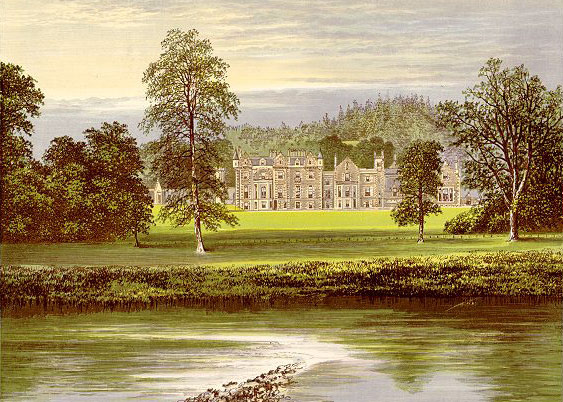
Abbotsford, Scottish Borders
Abbotsford is a historic country house in the Scottish Borders, near Galashiels, on the south bank of the River Tweed. Now open to the public, it was built...
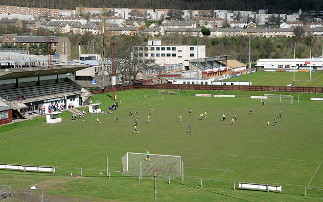
Netherdale
Netherdale is a sports complex in Galashiels, Scottish Borders, consisting of two adjacent stadiums used for rugby union and football. The rugby ground...

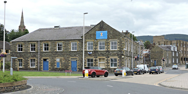
Borders College
Borders College (Scottish Gaelic: Colaiste nan Crìochan) is a further education institution in the Scottish Borders, Scotland. Its main campus is located...

Tweedbank
Tweedbank is a large village south-east of Galashiels in the Scottish Borders, Scotland. It is part of the county of Roxburghshire. It is an outer suburb...

Ettrick Water
The Ettrick Water is a river in Ettrick, by the village of Ettrickbridge and the historic town of Selkirk, in the Scottish Borders area of Scotland. The...

Boleside
Boleside is a village in the Scottish Borders area of Scotland, on the B7060, south of Galashiels. It is very close to the place where the Ettrick Water...
Paton Street drill hall, Galashiels
The Paton Street drill hall is a military installation in Galashiels, Scotland. == History == The building was designed as offices for Mid Mill, sometimes...
Nearby Amenities
Located within 500m of 55.594732,-2.7908964Have you been to Glenmayne Pool?
Leave your review of Glenmayne Pool below (or comments, questions and feedback).