Pitcher's Hill
Hill, Mountain in Dorset
England
Pitcher's Hill

Pitcher's Hill is a prominent geographical feature located in Dorset, a county in southwestern England. Situated near the village of Broadway, the hill is part of the wider geological formation known as the Dorset Downs, which is characterized by its rolling chalk hills and steep slopes.
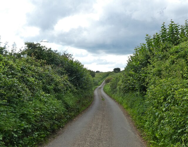
With an elevation of around 260 meters (850 feet), Pitcher's Hill offers commanding views of the surrounding countryside. The hill's distinctive shape, resembling an upturned pitcher, is believed to have given rise to its name. Its steep sides and grassy slopes make it a popular destination for hikers, nature enthusiasts, and those seeking panoramic vistas of the Dorset landscape.
Pitcher's Hill is covered with a mixture of grasses, wildflowers, and scrub vegetation, providing a habitat for a variety of wildlife species. Birdwatchers often visit the area to spot soaring birds of prey, such as buzzards and kestrels, while butterflies and insects can be observed flitting among the blooms.
The hill's location in Dorset also means it is within close proximity to a range of other attractions. Nearby, visitors can explore the charming village of Broadway, known for its picturesque cottages and traditional English charm. Additionally, the ancient hill fort of Maiden Castle and the historic town of Dorchester, with its Roman ruins and museum, are just a short drive away.
Overall, Pitcher's Hill in Dorset offers both natural beauty and historical significance, making it a popular destination for outdoor enthusiasts and those seeking to discover the rich heritage of the region.
If you have any feedback on the listing, please let us know in the comments section below.
Pitcher's Hill Images
Images are sourced within 2km of 50.76006/-2.7042323 or Grid Reference SY5095. Thanks to Geograph Open Source API. All images are credited.


Pitcher's Hill is located at Grid Ref: SY5095 (Lat: 50.76006, Lng: -2.7042323)
Unitary Authority: Dorset
Police Authority: Dorset
What 3 Words
///typhoon.pens.towels. Near Bridport, Dorset
Nearby Locations
Related Wikis

West Milton, Dorset
West Milton is a small village in western Dorset, in South West England, about 3 miles (5 km) northeast of Bridport and 1 mile (1.6 km) west of Powerstock...
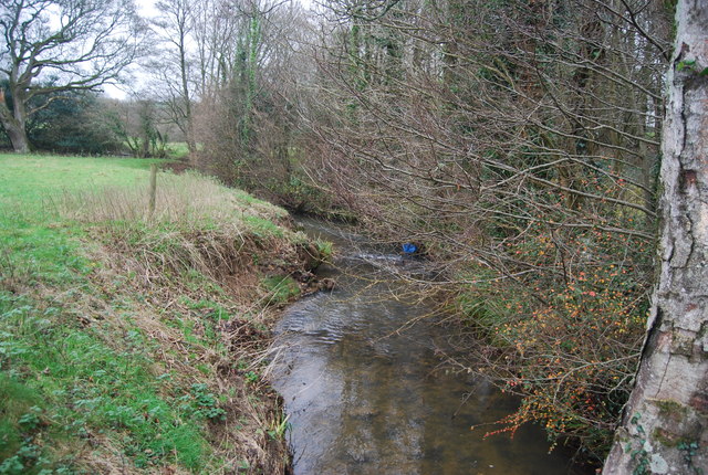
Mangerton River
The Mangerton River or Mangerton Brook is a 13.37 km (8.31 mi) long river in Dorset, England that is a tributary of the River Asker. The river rises at...

Powerstock (liberty)
Powerstock Liberty was a liberty comprising part of the parish of Powerstock in Dorset, England. == See also == List of liberties in Dorset == Sources... ==
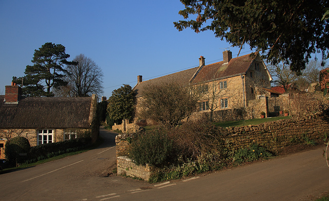
Powerstock
Powerstock is a village and civil parish in south west Dorset, England, situated in a steep valley on the edge of the Dorset Downs, 5 miles (8 km) north...
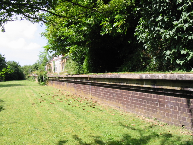
Powerstock railway station
Powerstock was a railway station on the Bridport Railway in the west of the English county of Dorset. The station served the villages of Powerstock, and...
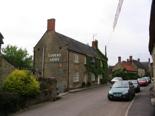
Loders
Loders is a village and civil parish in the English county of Dorset. It lies 2 miles (3.2 km) north-east of the town of Bridport. It is a linear village...
Loders and Bothenhampton Liberty
Loders and Bothenhampton Liberty was a liberty in the county of Dorset, England, containing the following parishes: Bothenhampton Loders == See also... ==
Alan Rice-Oxley
Lieutenant Alan Rice-Oxley (1 July 1896 – 21 July 1961) was a British pilot during World War I. He became a flying ace in 1918, credited with six aerial...
Nearby Amenities
Located within 500m of 50.76006,-2.7042323Have you been to Pitcher's Hill?
Leave your review of Pitcher's Hill below (or comments, questions and feedback).