White Knowe
Hill, Mountain in East Lothian
Scotland
White Knowe
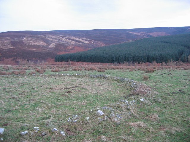
White Knowe is a prominent hill located in East Lothian, Scotland. Situated near the village of Gifford, it is part of the larger Lammermuir Hills range. The hill is known for its distinctive white appearance, which is derived from the white quartzite rock that forms its summit.
With an elevation of approximately 427 meters (1,400 feet), White Knowe offers breathtaking panoramic views of the surrounding countryside. On a clear day, visitors can enjoy vistas that stretch as far as the Firth of Forth and the city of Edinburgh. The hill is a popular destination for hikers and nature enthusiasts, who are drawn to its stunning beauty and tranquility.
The area surrounding White Knowe is rich in biodiversity, with a variety of plant and animal species calling it home. The hill is covered in heather, grasses, and wildflowers, providing a vibrant display of colors during the summer months. It is also home to a thriving population of birds, including red grouse, curlews, and skylarks.
The hill is easily accessible by foot, with several well-marked trails leading to the summit. The most popular route begins from the village of Gifford and offers a moderate ascent, suitable for walkers of all abilities. Along the way, hikers may encounter remnants of ancient settlements, such as stone circles and burial mounds, adding a historical element to the hike.
Overall, White Knowe is a stunning natural landmark that offers a combination of scenic beauty, ecological diversity, and historical significance. Whether it's for a leisurely walk or a challenging hike, this hill is a must-visit destination for nature lovers and outdoor enthusiasts in East Lothian.
If you have any feedback on the listing, please let us know in the comments section below.
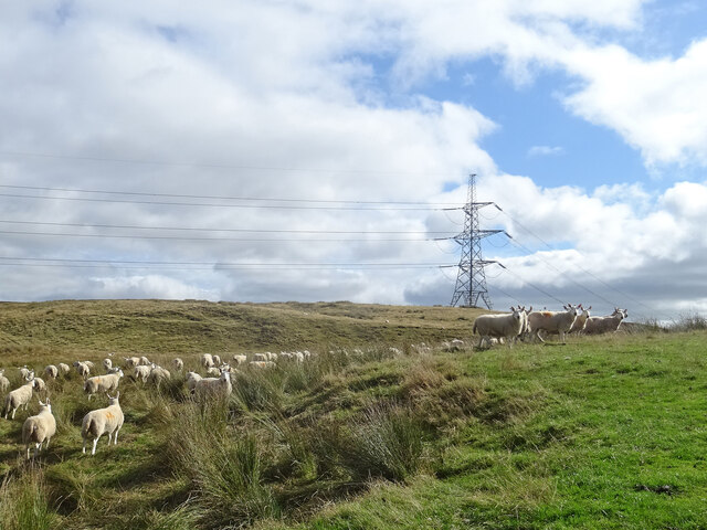
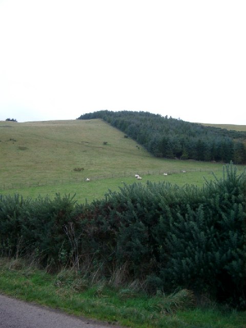
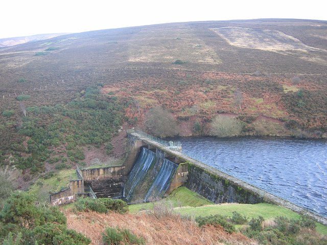
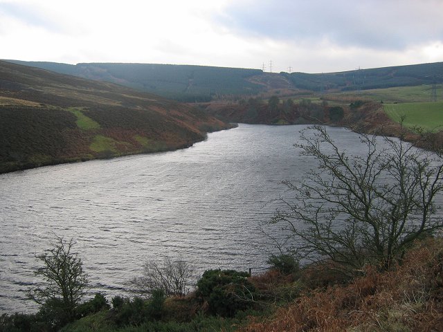
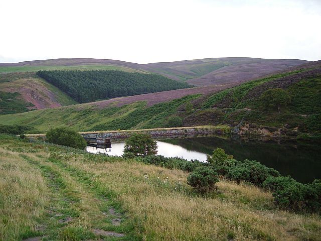
White Knowe Images
Images are sourced within 2km of 55.850424/-2.8014974 or Grid Reference NT4962. Thanks to Geograph Open Source API. All images are credited.


White Knowe is located at Grid Ref: NT4962 (Lat: 55.850424, Lng: -2.8014974)
Unitary Authority: East Lothian
Police Authority: The Lothians and Scottish Borders
What 3 Words
///shoebox.chemistry.sprayer. Near Pencaitland, East Lothian
Nearby Locations
Related Wikis

Humbie railway station
Humbie railway station served the civil parish of Humbie, East Lothian, Scotland, from 1901 to 1933 on the Macmerry Branch. == History == The station was...
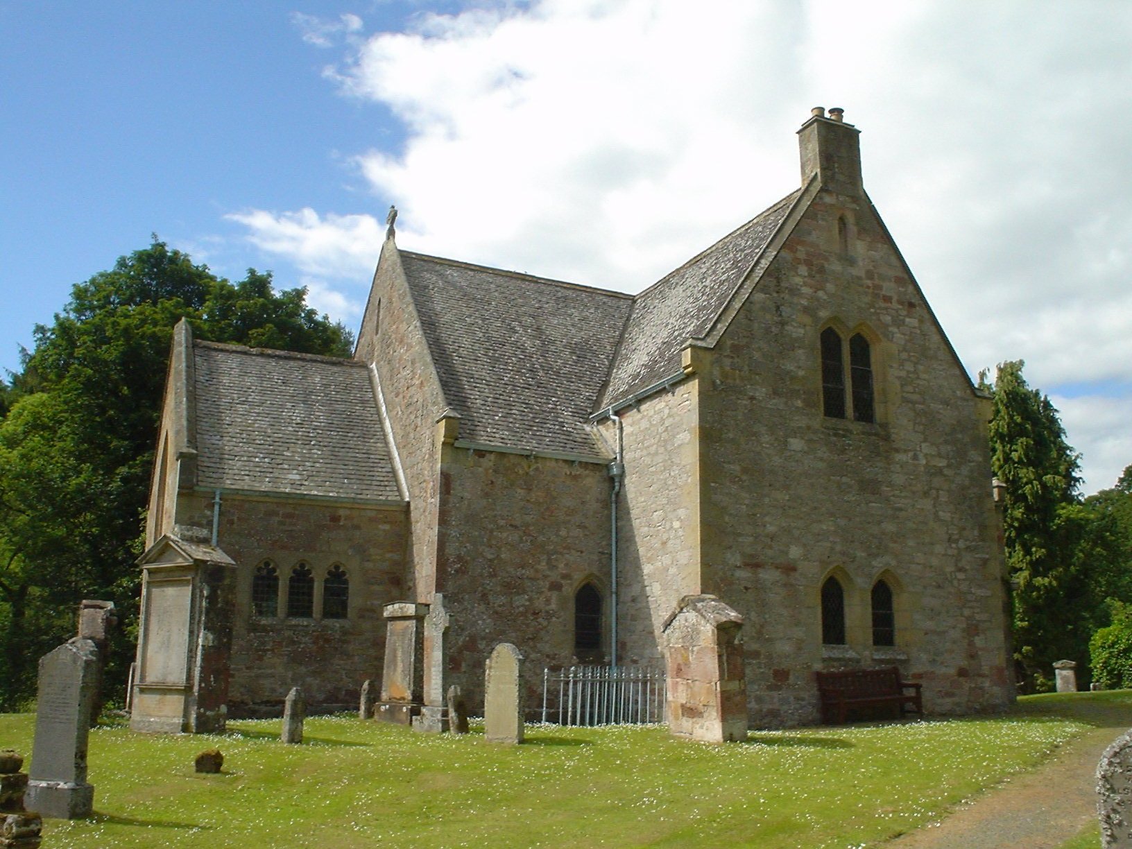
Humbie Parish Church
Humbie Parish Church is a church in the small village of Humbie, East Lothian, Scotland. It is part of the Church of Scotland, and is a linked charge which...

Humbie
Humbie is a hamlet and rural parish in East Lothian, Scotland lying in south-east of the county, approximately 10 miles (16 km) south-west of Haddington...

Lammermuir Hills
The Lammermuirs are a range of hills in southern Scotland, forming a natural boundary between East Lothian and the Borders. The name "Lammermuir" comes...
Nearby Amenities
Located within 500m of 55.850424,-2.8014974Have you been to White Knowe?
Leave your review of White Knowe below (or comments, questions and feedback).