Atkins Hill

Hill, Mountain in Monmouthshire

Wales

Atkins Hill

Footpath to The Farm It does what it says on the sign!
Footpath to The Farm Credit: Jonathan Billinger

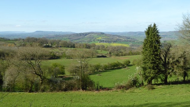
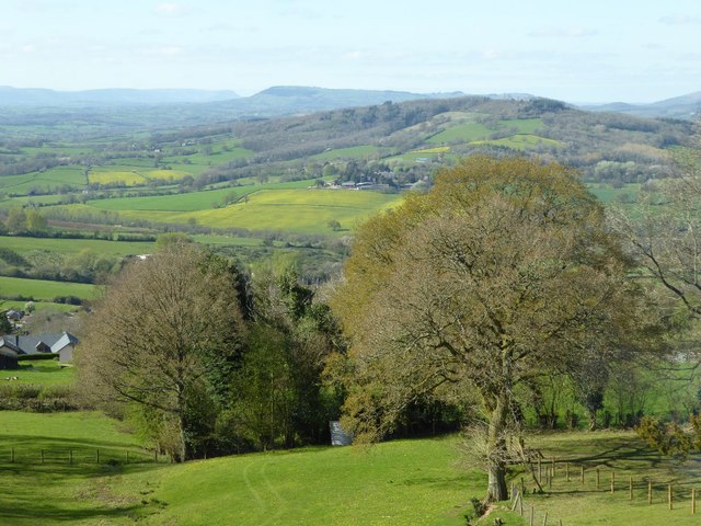
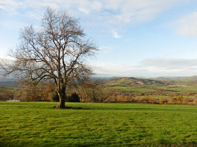
Atkins Hill is a prominent hill located in Monmouthshire, Wales. Rising to an elevation of approximately 386 meters (1,266 feet), it is situated near the town of Abergavenny, providing stunning panoramic views of the surrounding countryside.

The hill is a part of the larger Black Mountains range, which forms a natural border between England and Wales. Atkins Hill is known for its distinctive conical shape, with a steep and rugged terrain that attracts hikers and nature enthusiasts. It offers a challenging but rewarding ascent, with numerous paths and trails leading to its summit.

The hill is home to a variety of flora and fauna, including heather, gorse, and various species of birds and butterflies. It is also known for its rich history, with ancient hillforts and cairns scattered throughout the area, providing insights into the region's past.

Visitors to Atkins Hill can enjoy a range of outdoor activities, such as hiking, mountain biking, and birdwatching. The hill is particularly popular during the summer months when the vibrant landscapes come alive with blooming wildflowers.

The hill provides a peaceful and serene escape from the bustling towns and cities, offering a chance to reconnect with nature and soak in the breathtaking views. Whether it's a leisurely stroll or a challenging hike, Atkins Hill promises an unforgettable experience for outdoor enthusiasts and nature lovers alike.

If you have any feedback on the listing, please let us know in the comments section below.
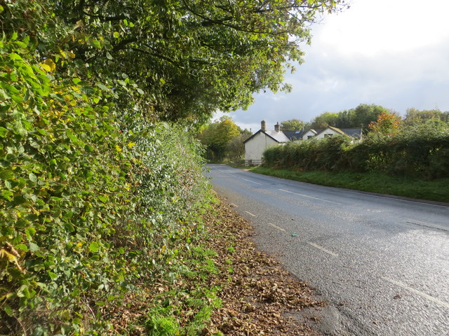
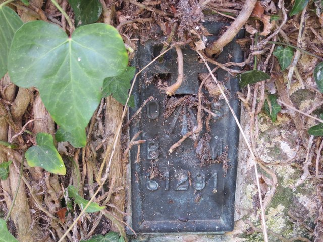
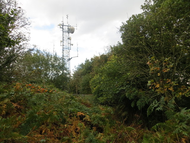
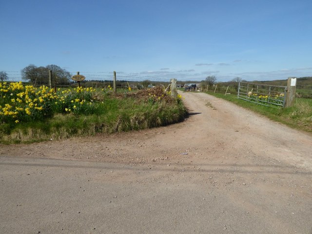
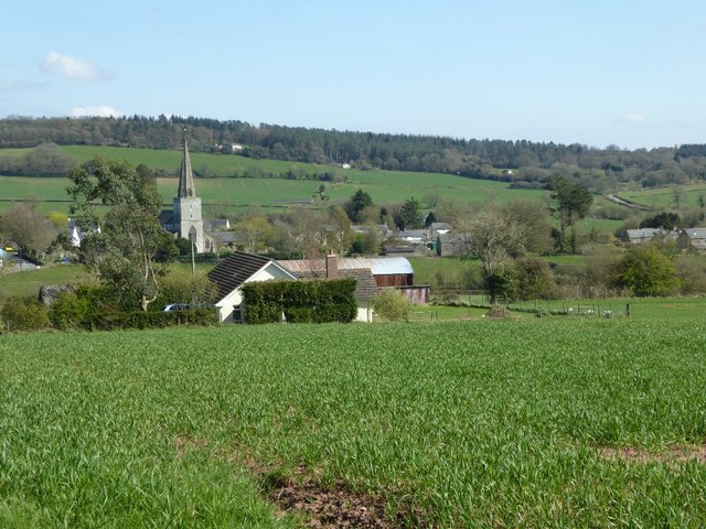
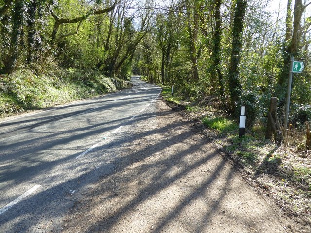
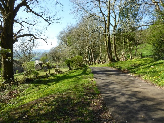
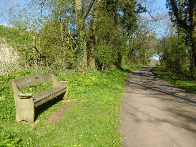
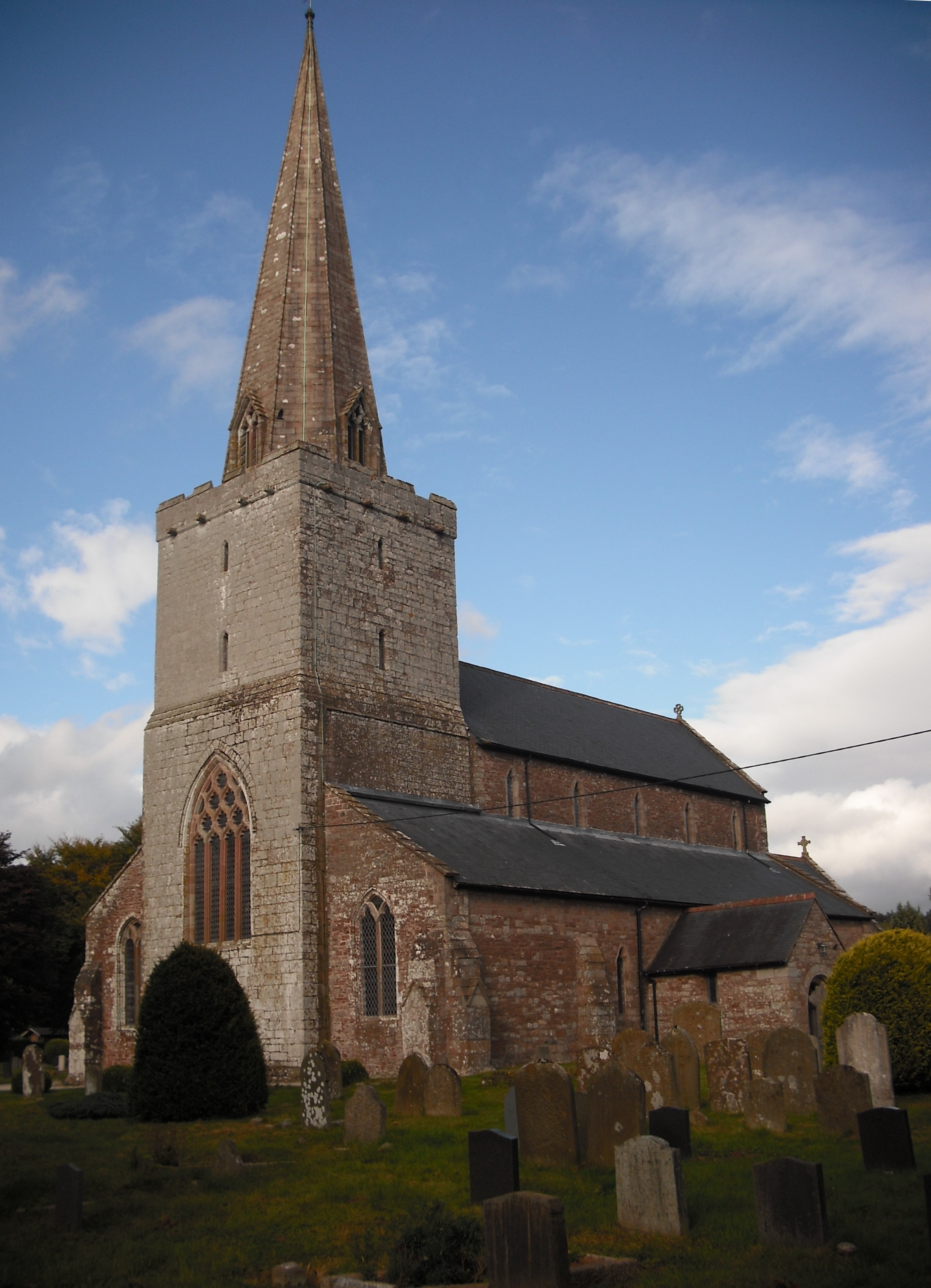
Atkins Hill Images

Images are sourced within 2km of 51.763856/-2.7271948 or Grid Reference SO4907. Thanks to Geograph Open Source API. All images are credited.

Footpath to The Farm It does what it says on the sign!
Footpath to The Farm
It does what it says on the sign!
B4293 to Trellech A damaged bus stop sign.
B4293 to Trellech
A damaged bus stop sign.
Private drive, public footpath Leading to Loysey which seems to be completely surrounded by Loysey Wood.
Private drive, public footpath
Leading to Loysey which seems to be completely surrounded by Loysey Wood.
View from Ffosydd Lane Looking north-east over some typical pasture and woodland Monmouthshire countryside.
View from Ffosydd Lane
Looking north-east over some typical pasture and woodland Monmouthshire countryside.
Track to Little Ffosydd, 1 Also a public footpath alongside Ffosydd-Orles Wood.
Track to Little Ffosydd, 1
Also a public footpath alongside Ffosydd-Orles Wood.
Track to Little Ffosydd, 2 Taken from same spot as <a href="https://www.geograph.org.uk/photo/4804543">SO4806 : Track to Little Ffosydd, 1</a> with telephoto.
Also a public footpath alongside Ffosydd-Orles Wood.
Track to Little Ffosydd, 2
Taken from same spot as SO4806 : Track to Little Ffosydd, 1 with telephoto. Also a public footpath alongside Ffosydd-Orles Wood.
Ordnance Survey Flush Bracket S1292 This can be found on the roadside (B4293) wall of the former Gocket Inn.
For more detail see : <span class="nowrap"><a title="http://www.bench-marks.org.uk/bm19967" rel="nofollow ugc noopener" href="http://www.bench-marks.org.uk/bm19967">Link</a><img style="margin-left:2px;" alt="External link" title="External link - shift click to open in new window" src="https://s1.geograph.org.uk/img/external.png" width="10" height="10"/></span>
Ordnance Survey Flush Bracket S1292
This can be found on the roadside (B4293) wall of the former Gocket Inn. For more detail see : LinkExternal link
Road (B4293) near the former Gocket Inn Looking south-westward.
Road (B4293) near the former Gocket Inn
Looking south-westward.
Ordnance Survey Flush Bracket S1291 This can be found on the wall of a derelict former chapel building at Chapel Farm.
For more detail see : <span class="nowrap"><a title="http://www.bench-marks.org.uk/bm19966" rel="nofollow ugc noopener" href="http://www.bench-marks.org.uk/bm19966">Link</a><img style="margin-left:2px;" alt="External link" title="External link - shift click to open in new window" src="https://s1.geograph.org.uk/img/external.png" width="10" height="10"/></span>
Ordnance Survey Flush Bracket S1291
This can be found on the wall of a derelict former chapel building at Chapel Farm. For more detail see : LinkExternal link
Communications mast on Craig-y-dorth Looking southward from the triangulation pillar.
Communications mast on Craig-y-dorth
Looking southward from the triangulation pillar.
Daffodils at the entrance to Redbarn Farm Daffodils beside the entrance to Redbarn Farm near Trellech, I last photographed this on a beautiful October day six and a half years ago <a href="https://www.geograph.org.uk/photo/2110431">SO4905 : Entrance to Redbarn Farm, Trellech</a>.
Daffodils at the entrance to Redbarn Farm
Daffodils beside the entrance to Redbarn Farm near Trellech, I last photographed this on a beautiful October day six and a half years ago SO4905 : Entrance to Redbarn Farm, Trellech.
View of Trellech View of Trellech from the west.
View of Trellech
View of Trellech from the west.
View over Mitchel Troy and the Monmouthshire countryside View over Mitchel Troy and the Monmouthshire countryside from near Caer Llan.  In the distance to the left are the Black Mountains, the hill in the distance to the left of centre is Graig Syfyrddin, with Garway Hill in the centre, above the hill in the middle distance.
View over Mitchel Troy and the Monmouthshire countryside
View over Mitchel Troy and the Monmouthshire countryside from near Caer Llan. In the distance to the left are the Black Mountains, the hill in the distance to the left of centre is Graig Syfyrddin, with Garway Hill in the centre, above the hill in the middle distance.
The B4293 above Mitcheltroy Common The B4293 climbing through woodland above Mitcheltroy Common.
The B4293 above Mitcheltroy Common
The B4293 climbing through woodland above Mitcheltroy Common.
View over Mitcheltroy Common View over Mitcheltroy Common from the B4293.  The Black Mountains can be seen to the left in the distance with Graig Syfyrddin the hill in the centre in the distance.
View over Mitcheltroy Common
View over Mitcheltroy Common from the B4293. The Black Mountains can be seen to the left in the distance with Graig Syfyrddin the hill in the centre in the distance.
Road approaching Craig-y-porth Farm This narrow country road contours around  hill above Mitchel Troy and offers fine views of the surrounding countryside.
Road approaching Craig-y-porth Farm
This narrow country road contours around hill above Mitchel Troy and offers fine views of the surrounding countryside.
Seat beside a country road A pleasant place to stop and enjoy the view.  This narrow road contours around a hill above Mitchel Troy and provides fine views of the surrounding countryside.
Seat beside a country road
A pleasant place to stop and enjoy the view. This narrow road contours around a hill above Mitchel Troy and provides fine views of the surrounding countryside.
View over Mitcheltroy Common
Show me another place!

Atkins Hill is located at Grid Ref: SO4907 (Lat: 51.763856, Lng: -2.7271948)

Unitary Authority: Monmouthshire

Police Authority: Gwent

What 3 Words

///mint.clarifies.culminate. Near Mitchel Troy, Monmouthshire

Nearby Locations

Atkins Hill

Related Wikis

Caer Llan

Caer Llan is a field studies centre, conference centre and former country house located at Lydart within the community of Mitchel Troy, Monmouthshire...

Lydart

Lydart is a dispersed hamlet within the community of Mitchel Troy, Monmouthshire, Wales. It is located about 3 miles (4.8 km) south-west of Monmouth,...

Church of St Nicholas, Trellech

The Church of St Nicholas, Trellech, Monmouthshire is a parish church with its origins in the 14th century. The historical and architectural evidence suggests...

Trellech

Trellech (occasionally spelt Trelech, Treleck or Trelleck; Welsh: Tryleg) is a village and parish in Monmouthshire, south-east Wales. Located 5 miles...

Nearby Amenities

Located within 500m of 51.763856,-2.7271948
Barrier: lift_gate
Bicycle: yes
Foot: yes
Lat/Long: 51.761749/-2.7236389
Direction: 125
Generator Method: photovoltaic
Generator Output Electricity: yes
Generator Solar Modules: 6
Generator Source: solar
Generator Type: solar_photovoltaic_panel
Location: roof
Power: generator
Lat/Long: 51.7612356/-2.7288406
Direction: 215
Generator Method: photovoltaic
Generator Output Electricity: yes
Generator Solar Modules: 10
Generator Source: solar
Generator Type: solar_photovoltaic_panel
Location: roof
Power: generator
Lat/Long: 51.7611799/-2.7289224
Direction: 215
Generator Method: photovoltaic
Generator Output Electricity: yes
Generator Solar Modules: 16
Generator Source: solar
Generator Type: solar_photovoltaic_panel
Location: roof
Power: generator
Lat/Long: 51.7613277/-2.7284583
Direction: 125
Generator Method: photovoltaic
Generator Output Electricity: yes
Generator Solar Modules: 12
Generator Source: solar
Generator Type: solar_photovoltaic_panel
Location: roof
Power: generator
Lat/Long: 51.7614555/-2.7285053
Direction: 215
Generator Method: photovoltaic
Generator Output Electricity: yes
Generator Solar Modules: 4
Generator Source: solar
Generator Type: solar_photovoltaic_panel
Location: roof
Power: generator
Lat/Long: 51.7614854/-2.7284168
Direction: 185
Generator Method: photovoltaic
Generator Output Electricity: yes
Generator Solar Modules: 11
Generator Source: solar
Generator Type: solar_photovoltaic_panel
Location: roof
Power: generator
Lat/Long: 51.7618058/-2.7245477
Direction: 185
Generator Method: photovoltaic
Generator Output Electricity: yes
Generator Solar Modules: 11
Generator Source: solar
Generator Type: solar_photovoltaic_panel
Location: roof
Power: generator
Lat/Long: 51.7618174/-2.7247167
The data included in this document is from www.openstreetmap.org. The data is made available under ODbL.

Have you been to Atkins Hill?

Leave your review of Atkins Hill below (or comments, questions and feedback).