Vertish Hill

Hill, Mountain in Roxburghshire

Scotland

Vertish Hill

Bandstand in Wilton Lodge Park, Hawick A fine new bandstand built as part of the park renovation project.
Bandstand in Wilton Lodge Park, Hawick Credit: Jim Barton

Vertish Hill is a prominent hill located in Roxburghshire, a historic county in the southeastern part of Scotland. It stands at an elevation of 315 meters (1,033 feet) above sea level and is part of the Cheviot Hills range. Known for its breathtaking views and scenic surroundings, Vertish Hill attracts both locals and tourists alike.

The hill is characterized by its distinctive conical shape and is covered in a lush carpet of heather, grasses, and shrubs, giving it a vibrant green hue during the warmer months. Its slopes are relatively gentle, making it accessible for hikers of varying abilities. Several well-marked trails crisscross the hill, providing visitors with ample opportunities for exploration and enjoyment of the natural beauty.

From the summit of Vertish Hill, one can enjoy panoramic vistas that stretch across the rolling countryside of Roxburghshire. On clear days, it is possible to see as far as the Northumberland National Park in England, the Eildon Hills near Melrose, and even the distant peaks of the Scottish Borders.

The hill has a rich historical significance, with traces of ancient settlements and burial mounds found in the vicinity. These archaeological remains offer a glimpse into the past and add an extra layer of intrigue to the area.

Overall, Vertish Hill is a picturesque destination that offers a memorable outdoor experience for nature enthusiasts, history buffs, and those seeking a peaceful escape in the heart of Roxburghshire.

If you have any feedback on the listing, please let us know in the comments section below.
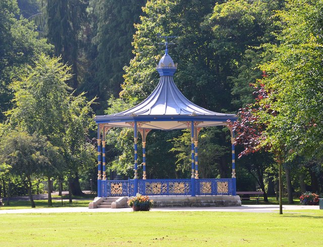
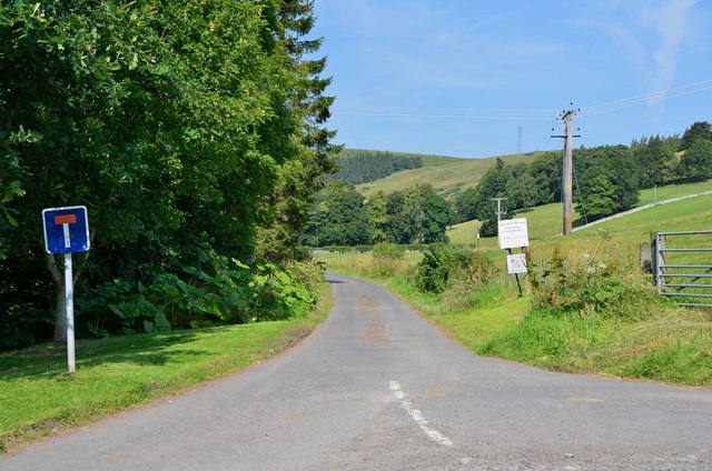
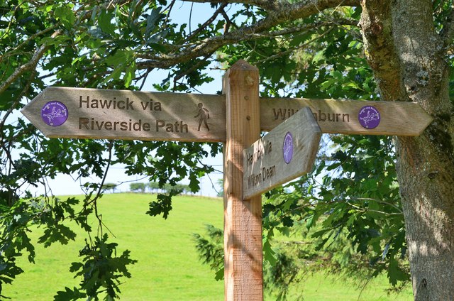
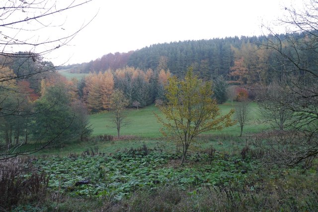
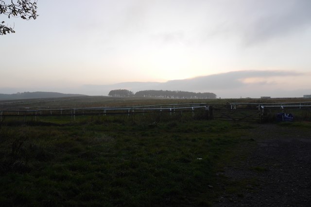
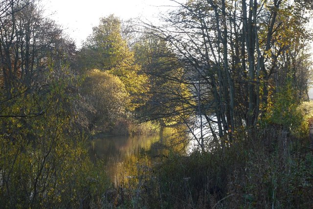
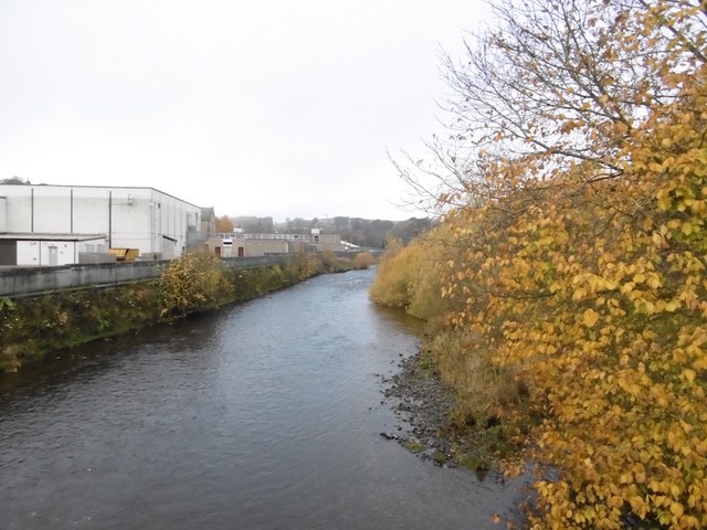
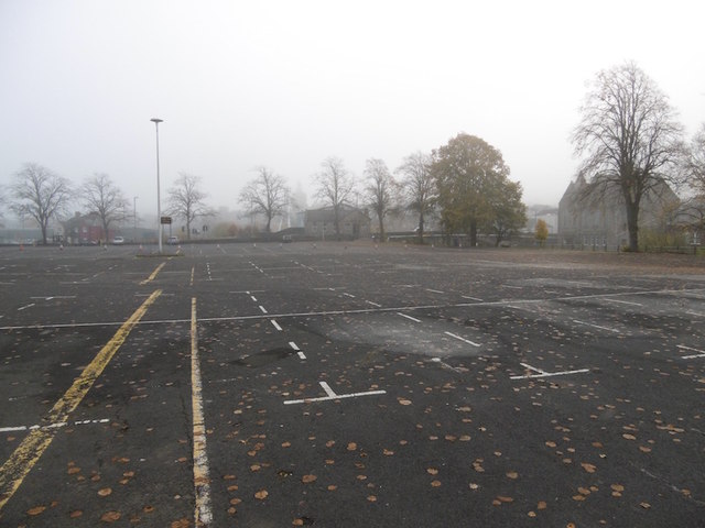
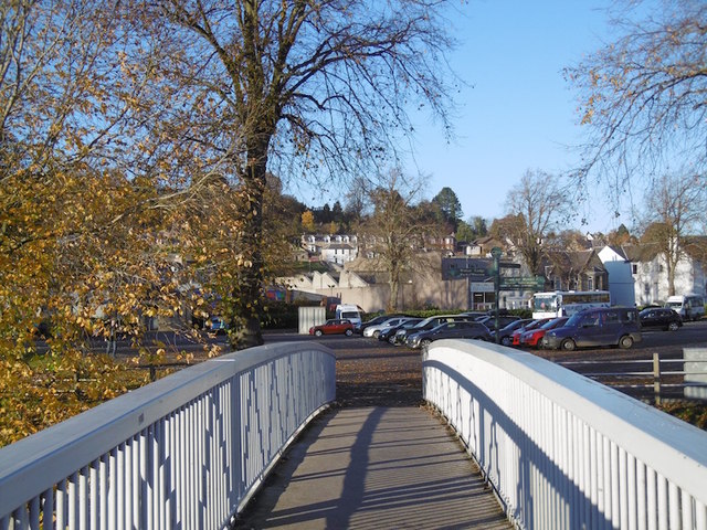
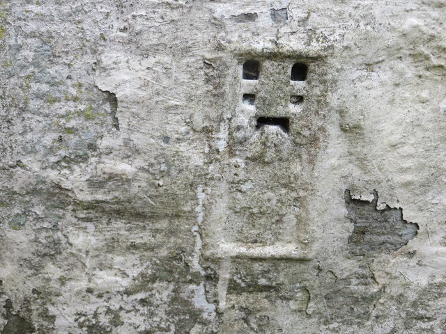
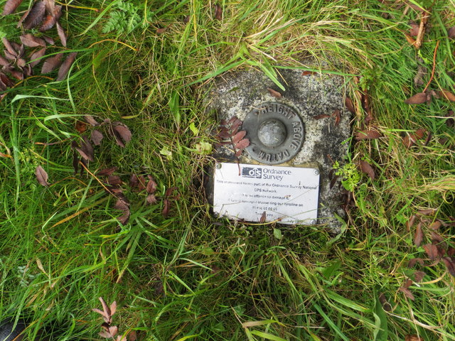
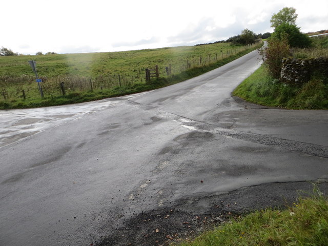
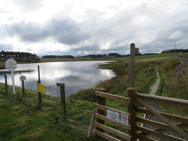
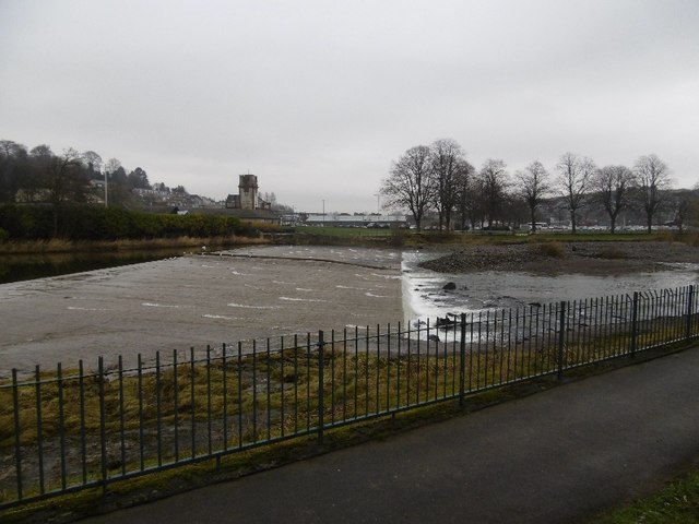
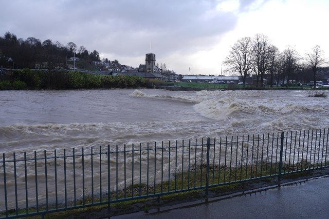
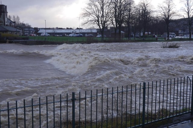
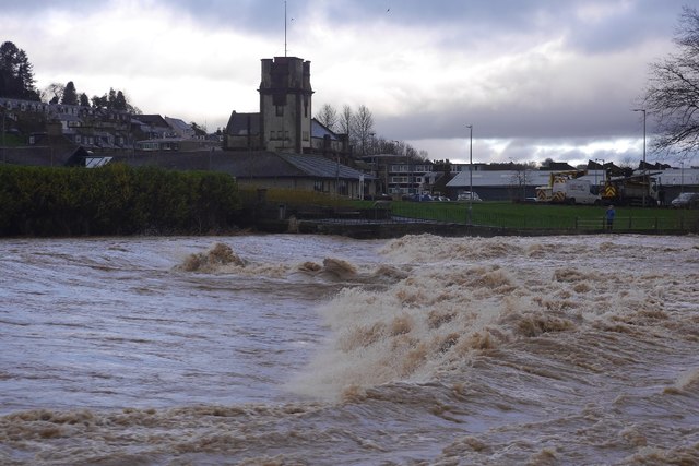
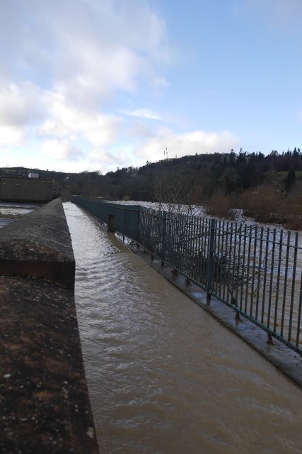
Vertish Hill Images

Images are sourced within 2km of 55.405113/-2.7982215 or Grid Reference NT4912. Thanks to Geograph Open Source API. All images are credited.

Bandstand in Wilton Lodge Park, Hawick A fine new bandstand built as part of the park renovation project.
Bandstand in Wilton Lodge Park, Hawick
A fine new bandstand built as part of the park renovation project.
Lane to Wiltonburn farm Junction with the minor road to Wilton Dean. The sign advertises Country Cashmeres and Farmhouse B&B at Wiltonburn.
Lane to Wiltonburn farm
Junction with the minor road to Wilton Dean. The sign advertises Country Cashmeres and Farmhouse B&B at Wiltonburn.
Footpath signpost near Wilton Burn The purple badges mark the Romans and Reivers Route.
Footpath signpost near Wilton Burn
The purple badges mark the Romans and Reivers Route.
Woodland on Vertish Hill Looking over Hawick Golf Club's course towards Vertish Hill.
Woodland on Vertish Hill
Looking over Hawick Golf Club's course towards Vertish Hill.
St Leonard's Park The racecourse plays a big part in the Common Riding.
St Leonard's Park
The racecourse plays a big part in the Common Riding.
River Teviot Downstream of Martin's Bridge.
River Teviot
Downstream of Martin's Bridge.
River Teviot, Hawick Hawick High School on the left.
River Teviot, Hawick
Hawick High School on the left.
Common Haugh, Hawick The car park was empty as it was closed for line work.
Common Haugh, Hawick
The car park was empty as it was closed for line work.
Lawson Bridge, Hawick A little upstream of its predecessor, it is often used by Hawick High School pupils to get their buses on The Haugh.
Lawson Bridge, Hawick
A little upstream of its predecessor, it is often used by Hawick High School pupils to get their buses on The Haugh.
Ordnance Survey Flush Bracket 1491 This heavily over-painted bracket can be found on the wall of a private dwelling in Lynnwood.
For more detail see : <span class="nowrap"><a title="http://www.bench-marks.org.uk/bm1210" rel="nofollow ugc noopener" href="http://www.bench-marks.org.uk/bm1210">Link</a><img style="margin-left:2px;" alt="External link" title="External link - shift click to open in new window" src="https://s1.geograph.org.uk/img/external.png" width="10" height="10"/></span>
Ordnance Survey Flush Bracket 1491
This heavily over-painted bracket can be found on the wall of a private dwelling in Lynnwood. For more detail see : LinkExternal link
Ordnance Survey Fundamental Bench Mark - Hawick This can be found hidden in the grass on the roadside verge of the cross-roads near Nipknowes Quarry.
For more detail see : <span class="nowrap"><a title="http://www.bench-marks.org.uk/bm1079" rel="nofollow ugc noopener" href="http://www.bench-marks.org.uk/bm1079">Link</a><img style="margin-left:2px;" alt="External link" title="External link - shift click to open in new window" src="https://s1.geograph.org.uk/img/external.png" width="10" height="10"/></span>
Ordnance Survey Fundamental Bench Mark - Hawick
This can be found hidden in the grass on the roadside verge of the cross-roads near Nipknowes Quarry. For more detail see : LinkExternal link
Cross Roads near Nipknowes Quarry Looking westward.
Cross Roads near Nipknowes Quarry
Looking westward.
Williestruther Loch Looking south-westward.
Williestruther Loch
Looking south-westward.
Cauld, Hawick The River Teviot in a relatively benign mood. Note the big shingle bank beneath the cauld.
Cauld, Hawick
The River Teviot in a relatively benign mood. Note the big shingle bank beneath the cauld.
Cauld, Hawick The weir upstream of the town during a spate. All footbridges were closed at the time.
Cauld, Hawick
The weir upstream of the town during a spate. All footbridges were closed at the time.
Teviot in spate After some hours of heavy rain.
Teviot in spate
After some hours of heavy rain.
Cauld, Hawick The Teviot shortly after it flooded the Common Haugh.
Cauld, Hawick
The Teviot shortly after it flooded the Common Haugh.
Flooded path, Hawick A wall gives some protection to Hawick High School as the Teviot rises to the edge of major flooding.
Flooded path, Hawick
A wall gives some protection to Hawick High School as the Teviot rises to the edge of major flooding.
Show me another place!

Vertish Hill is located at Grid Ref: NT4912 (Lat: 55.405113, Lng: -2.7982215)

Unitary Authority: The Scottish Borders

Police Authority: The Lothians and Scottish Borders

What 3 Words

///alerting.values.tips. Near Hawick, Scottish Borders

Related Wikis

Slitrig Water

Slitrig Water (archaic Scots: Slitterick Waiter; current Southern Scots: Slitrig Witter), also known as the River Slitrig, is a river in the Scottish Borders...

Hawick Cottage Hospital

Hawick Cottage Hospital was a health facility at Buccleuch Road in Hawick, Scotland. It was managed by NHS Borders. It is a Category B listed building...

Hawick High School

Hawick High School is a non-denominational secondary school in Hawick, in the Scottish Borders. As well as serving the town, it also takes in pupils from...

Hawick

Hawick ( HOYK; Scots: Haaick; Scottish Gaelic: Hamhaig) is a town in the Scottish Borders council area and historic county of Roxburghshire in the east...

Nearby Amenities

Located within 500m of 55.405113,-2.7982215
Vertish Hill
Natural: peak
Lat/Long: 55.4054471/-2.7973925
St Leonard's
Place: hamlet
Lat/Long: 55.4022131/-2.8018729
Power: pole
Lat/Long: 55.4012129/-2.8020295
Power: pole
Lat/Long: 55.4019469/-2.8018029
Power: pole
Lat/Long: 55.40202/-2.802426
Power: pole
Lat/Long: 55.4020682/-2.8029153
The data included in this document is from www.openstreetmap.org. The data is made available under ODbL.

Have you been to Vertish Hill?

Leave your review of Vertish Hill below (or comments, questions and feedback).