Ifield Green
Settlement in Sussex Crawley
England
Ifield Green

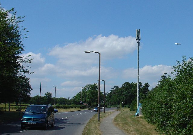
Ifield Green is a small village located in the county of Sussex, England. It is situated approximately 2 miles northwest of Crawley, a major town in West Sussex. The village is known for its peaceful and picturesque setting, surrounded by lush green fields and countryside.
Ifield Green is primarily a residential area, consisting of a mix of traditional and modern homes. It has a close-knit community, with a population of around 1,000 residents. The village offers a tranquil and relaxed atmosphere, making it an ideal place for families and those seeking a quieter lifestyle.
Despite its rural charm, Ifield Green is well-connected to nearby towns and cities. It benefits from excellent transport links, with the M23 motorway just a short drive away, providing easy access to London and Brighton. The nearby Crawley train station also offers regular services to London and other major cities.
In terms of amenities, Ifield Green has a few local shops and pubs, providing convenience to its residents. Additionally, the village is within close proximity to Crawley, where a wider range of shops, restaurants, and entertainment options can be found.
For nature enthusiasts, Ifield Green boasts several parks and green spaces nearby, offering opportunities for outdoor activities such as walking, jogging, and cycling. The village is also close to the beautiful South Downs National Park, which provides stunning landscapes and a range of recreational activities.
Overall, Ifield Green offers a peaceful and idyllic setting, surrounded by nature, while still being within easy reach of urban amenities.
If you have any feedback on the listing, please let us know in the comments section below.
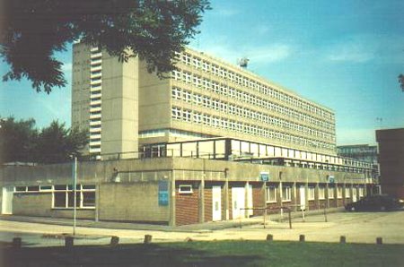
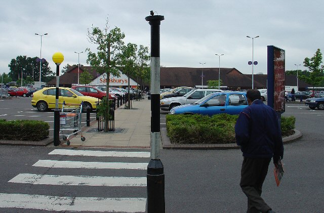
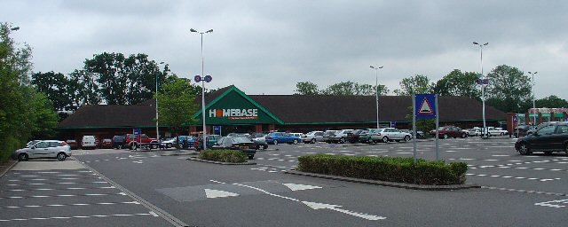
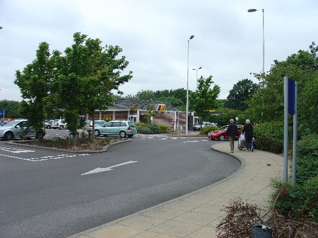
Ifield Green Images
Images are sourced within 2km of 51.126251/-0.215816 or Grid Reference TQ2437. Thanks to Geograph Open Source API. All images are credited.


Ifield Green is located at Grid Ref: TQ2437 (Lat: 51.126251, Lng: -0.215816)
Administrative County: West Sussex
District: Crawley
Police Authority: Sussex
What 3 Words
///look.comet.reach. Near Langley Green, West Sussex
Nearby Locations
Related Wikis
Ifield Friends Meeting House
The Ifield Friends Meeting House is a Friends meeting house (Quaker place of worship) in the Ifield neighbourhood of Crawley, a town and borough in West...

St Margaret's Church, Ifield
St Margaret's Church is an Anglican church in the Ifield neighbourhood of Crawley, a town and borough in West Sussex, England. It is the ancient parish...

Ifield, West Sussex
Ifield is a former village and now one of 14 neighbourhoods within the town of Crawley in West Sussex, England. Ifield is in the west of the town and...

Gossops Green & Ifield East (electoral division)
Gossops Green & Ifield East is an electoral division of West Sussex in the United Kingdom, and returns one member to sit on West Sussex County Council...
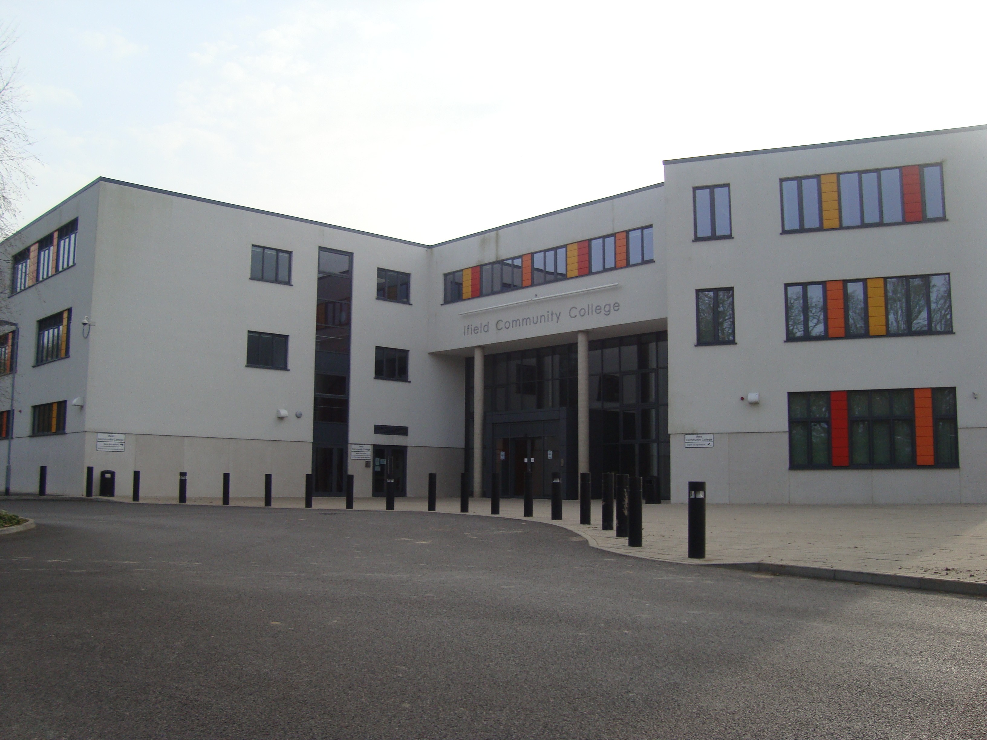
Ifield Community College
Ifield Community College (ICC) is a maintained comprehensive secondary school in Crawley, England, for pupils aged 11 to 18. == Admissions == It caters...
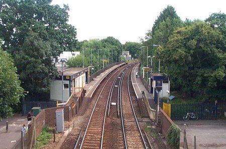
Ifield railway station
Ifield railway station (pronounced 'Eye-field') serves the neighbourhoods of Ifield and Gossops Green in the West Sussex town of Crawley, England. It is...

Ifield Water Mill
Ifield Water Mill is a 19th-century weatherboarded watermill in the Ifield neighbourhood of Crawley, a town and borough in West Sussex, England. Built...
Gossops Green
Gossops Green is one of 14 neighbourhoods within the town of Crawley in West Sussex, England. Gossops Green is located in the west of the town and is bordered...
Nearby Amenities
Located within 500m of 51.126251,-0.215816Have you been to Ifield Green?
Leave your review of Ifield Green below (or comments, questions and feedback).