Ifield
Settlement in Sussex Crawley
England
Ifield

Ifield is a picturesque village located in the county of Sussex, England. Situated just north of the town of Crawley, it is part of the Crawley Borough Council area. The village is nestled amidst the beautiful countryside, offering residents and visitors a peaceful and idyllic setting.
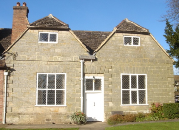
Ifield has a rich historical background, with evidence of settlements dating back to the Roman times. The village is known for its historic church, St. Margaret's Church, which dates back to the 13th century. The church's beautiful architecture and serene atmosphere make it a popular attraction for tourists and history enthusiasts.
In terms of amenities, Ifield has a range of facilities to cater to the needs of its residents. The village boasts a primary school, shops, a post office, and a community center, providing essential services to the local community. Additionally, there are several pubs and restaurants in the area, offering a variety of dining options.
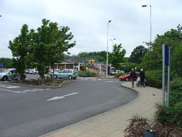
The village is well-connected to the surrounding areas, with excellent transport links. Ifield railway station provides regular services to London and other nearby towns, making it a convenient location for commuters.
Nature lovers will appreciate the abundance of green spaces in and around Ifield. The village is surrounded by open fields and countryside, perfect for leisurely walks and outdoor activities. Furthermore, Ifield Mill Pond and Bewbush Water Gardens offer serene spots for relaxation and wildlife observation.
Overall, Ifield is a charming village that combines historical significance with natural beauty. Its tranquil atmosphere, coupled with its convenient location, makes it an attractive place to live or visit.
If you have any feedback on the listing, please let us know in the comments section below.
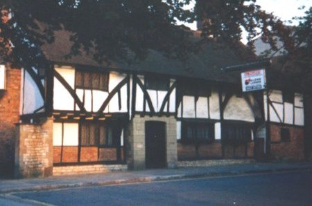
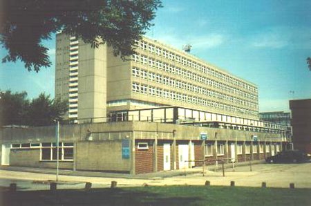
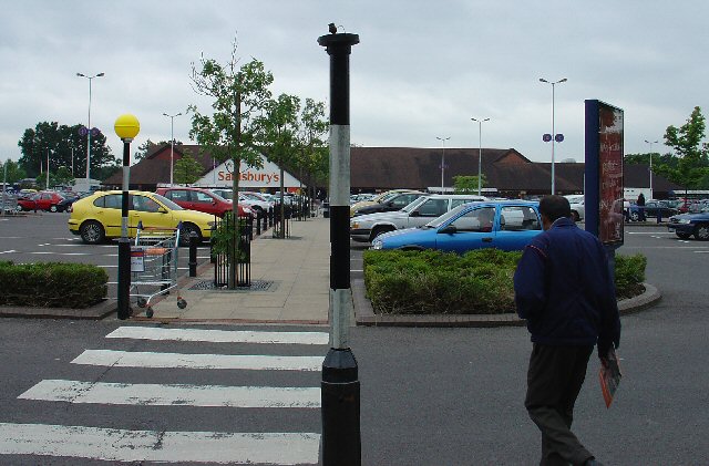
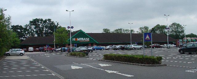
Ifield Images
Images are sourced within 2km of 51.123949/-0.21349 or Grid Reference TQ2537. Thanks to Geograph Open Source API. All images are credited.


Ifield is located at Grid Ref: TQ2537 (Lat: 51.123949, Lng: -0.21349)
Administrative County: West Sussex
District: Crawley
Police Authority: Sussex
What 3 Words
///songs.able.faced. Near Langley Green, West Sussex
Nearby Locations
Related Wikis
Ifield Friends Meeting House
The Ifield Friends Meeting House is a Friends meeting house (Quaker place of worship) in the Ifield neighbourhood of Crawley, a town and borough in West...

St Margaret's Church, Ifield
St Margaret's Church is an Anglican church in the Ifield neighbourhood of Crawley, a town and borough in West Sussex, England. It is the ancient parish...

Ifield, West Sussex
Ifield is a former village and now one of 14 neighbourhoods within the town of Crawley in West Sussex, England. Ifield is in the west of the town and...

Gossops Green & Ifield East (electoral division)
Gossops Green & Ifield East is an electoral division of West Sussex in the United Kingdom, and returns one member to sit on West Sussex County Council...
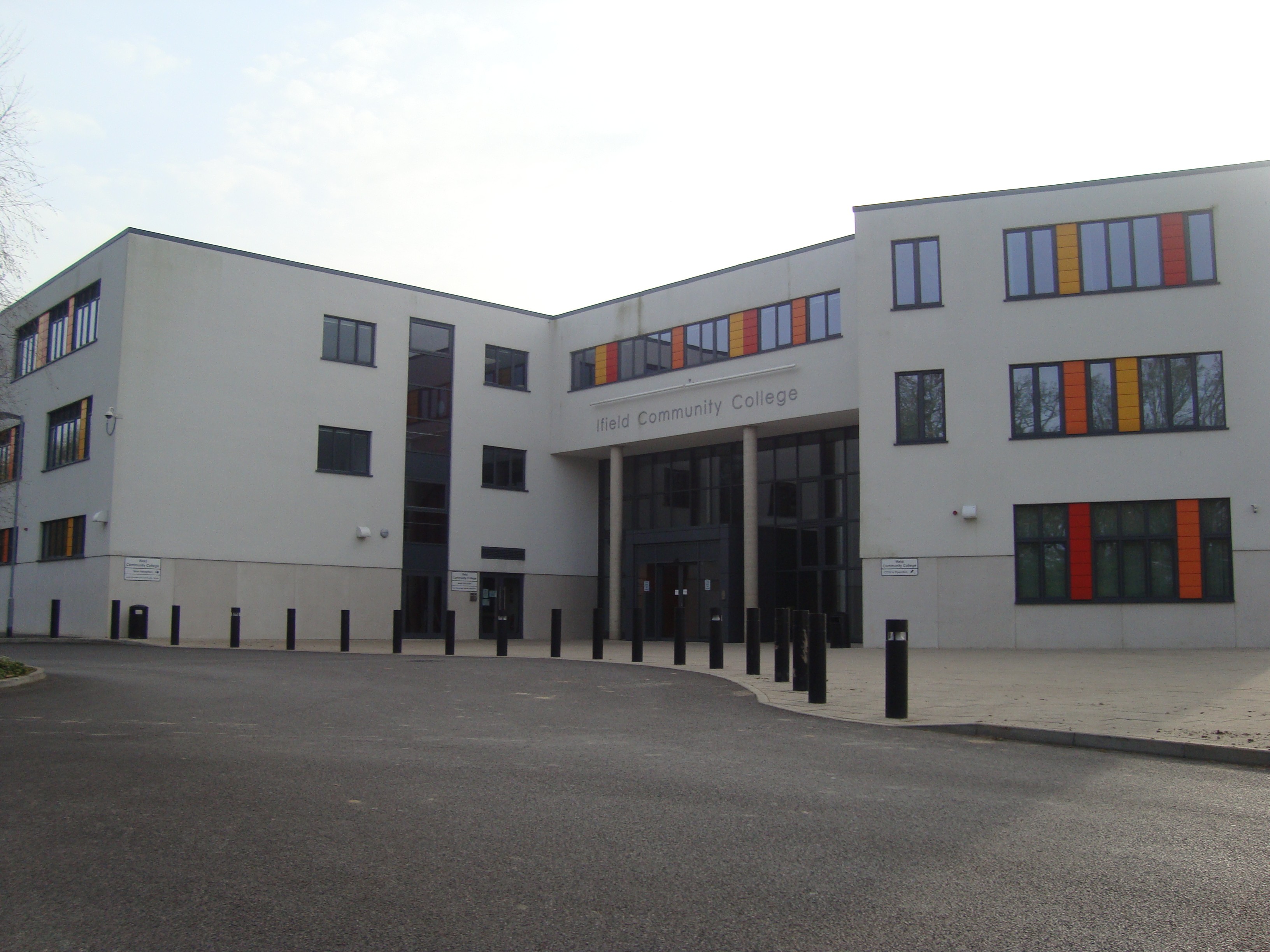
Ifield Community College
Ifield Community College (ICC) is a maintained comprehensive secondary school in Crawley, England, for pupils aged 11 to 18. == Admissions == It caters...
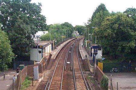
Ifield railway station
Ifield railway station (pronounced 'Eye-field') serves the neighbourhoods of Ifield and Gossops Green in the West Sussex town of Crawley, England. It is...
Gossops Green
Gossops Green is one of 14 neighbourhoods within the town of Crawley in West Sussex, England. Gossops Green is located in the west of the town and is bordered...

Ifield Water Mill
Ifield Water Mill is a 19th-century weatherboarded watermill in the Ifield neighbourhood of Crawley, a town and borough in West Sussex, England. Built...
Nearby Amenities
Located within 500m of 51.123949,-0.21349Have you been to Ifield?
Leave your review of Ifield below (or comments, questions and feedback).