Bar Hill

Hill, Mountain in Aberdeenshire

Scotland

Bar Hill

Weeds and Clashmach Wild wetland with Clashmach Hill behind from Rob's Nook.
Weeds and Clashmach Credit: Andrew Wood

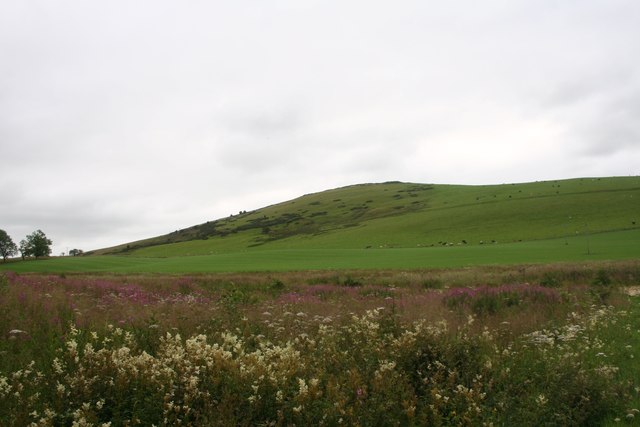
Bar Hill is a prominent hill located in Aberdeenshire, Scotland. Standing at an elevation of approximately 404 meters (1325 feet), it offers stunning panoramic views of the surrounding countryside and is a popular destination for outdoor enthusiasts and nature lovers.

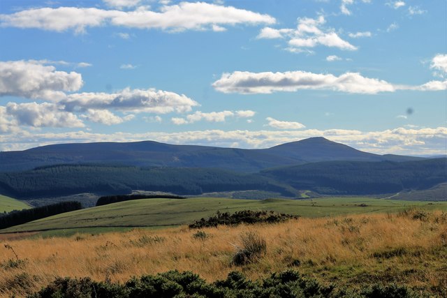
Situated within the Cairngorms National Park, Bar Hill is part of a range of hills that form part of the Grampian Mountains. It is characterized by its distinctive conical shape, covered in heather and grasses, which adds to its scenic beauty.

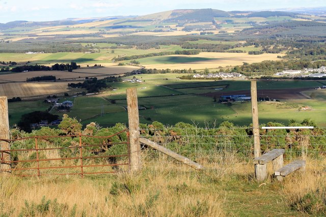
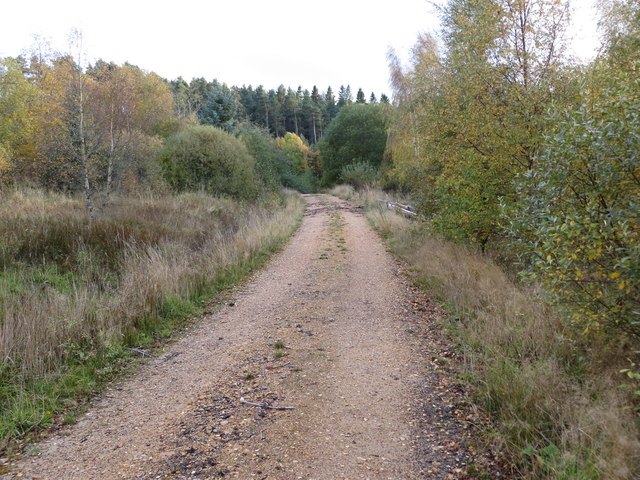
Accessing Bar Hill is relatively straightforward, with a well-marked path leading to the summit. The trail is suitable for hikers of all levels, although proper hiking gear and navigation skills are recommended. Along the way, visitors may encounter various wildlife species such as red deer, mountain hares, and various bird species.

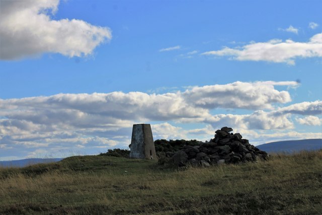
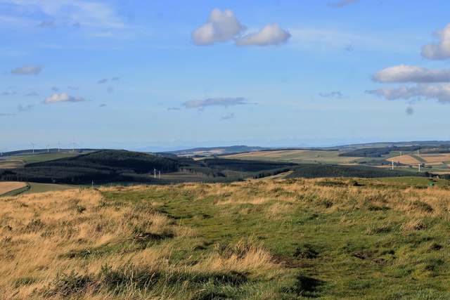
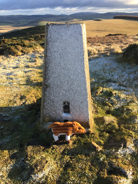
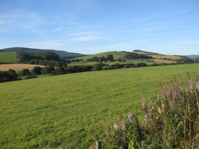
At the top of Bar Hill, visitors are rewarded with breathtaking views that stretch for miles. On clear days, it is possible to see as far as the Moray Firth and even the distant peaks of the Cairngorms. The summit also boasts a trig point, providing a perfect spot for photographers and nature enthusiasts to capture the beauty of the surrounding landscapes.

Overall, Bar Hill offers a fantastic opportunity to experience the natural beauty of Aberdeenshire. Its accessibility, combined with its stunning vistas, make it a must-visit destination for those seeking to explore the Scottish Highlands.

If you have any feedback on the listing, please let us know in the comments section below.
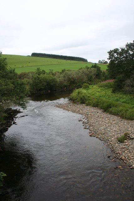
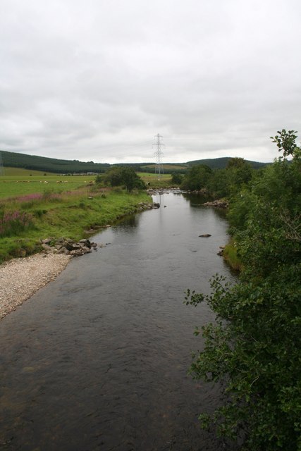
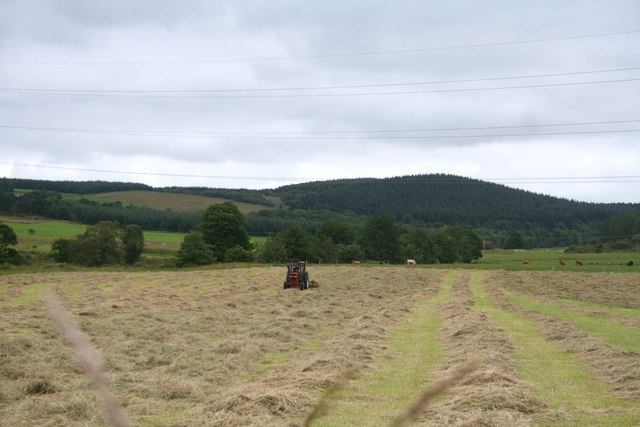
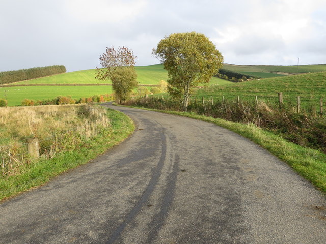
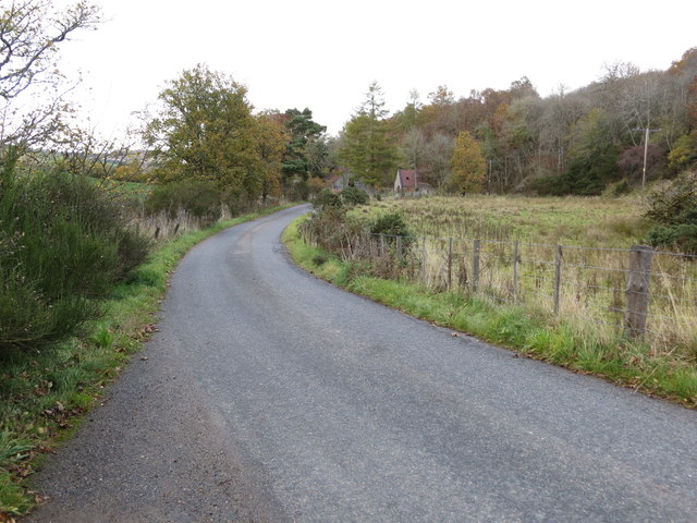
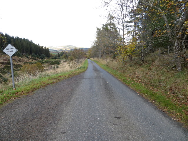
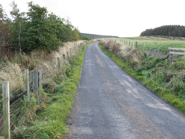
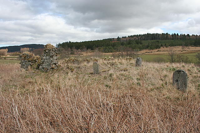
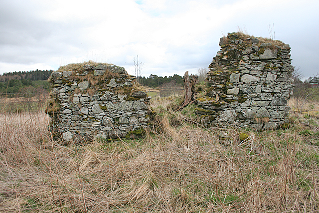
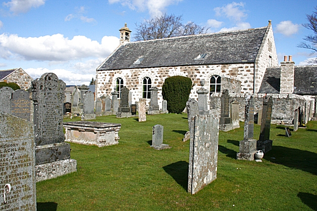
Bar Hill Images

Images are sourced within 2km of 57.439521/-2.8652414 or Grid Reference NJ4839. Thanks to Geograph Open Source API. All images are credited.

Weeds and Clashmach Wild wetland with Clashmach Hill behind from Rob's Nook.
Weeds and Clashmach
Wild wetland with Clashmach Hill behind from Rob's Nook.
River Deveron The Deveron by Cairnford Bridge.
River Deveron
The Deveron by Cairnford Bridge.
Deveron Downstream The Deveron flowing away from Cairnford Bridge.
Deveron Downstream
The Deveron flowing away from Cairnford Bridge.
Hay Field Hay turning in a Deveronside field.
Hay Field
Hay turning in a Deveronside field.
Gate and Stile The last stile to cross to the Clashmach summit, looking back down to Huntly.
Gate and Stile
The last stile to cross to the Clashmach summit, looking back down to Huntly.
Trig Point The trig point and cairn at the top of Clashmach.
Trig Point
The trig point and cairn at the top of Clashmach.
Looking South Scrub land falling away from the trig point of Clashmach. the hill far right is Tap O' Noth.
Looking South
Scrub land falling away from the trig point of Clashmach. the hill far right is Tap O' Noth.
North of Clashmach Both the top of the hill as it starts to descend and the hills to the north.
North of Clashmach
Both the top of the hill as it starts to descend and the hills to the north.
Lane leading to Wellheads Looking eastward.
Lane leading to Wellheads
Looking eastward.
Minor road approaching Tigh Fada Looking north-eastward.
Minor road approaching Tigh Fada
Looking north-eastward.
Minor road between Lower Gordonsburn and Tigh Fada Looking north-eastward.
Minor road between Lower Gordonsburn and Tigh Fada
Looking north-eastward.
Minor road between Lower Gordonsburn and Bailiesward Looking south-westward.
Minor road between Lower Gordonsburn and Bailiesward
Looking south-westward.
Forest track heading towards Torry Hillock and Brown Hill Looking southward.
Forest track heading towards Torry Hillock and Brown Hill
Looking southward.
Ordnance Survey Cut Mark This mark can be found on the wall of a roadside building at Tigh Fada. The benchmark height is recorded as being 176.772 metres above sea level.
For more detail see : <span class="nowrap"><a title="https://www.bench-marks.org.uk/bm101700" rel="nofollow ugc noopener" href="https://www.bench-marks.org.uk/bm101700">Link</a><img style="margin-left:2px;" alt="External link" title="External link - shift click to open in new window" src="https://s1.geograph.org.uk/img/external.png" width="10" height="10"/></span>
Ordnance Survey Cut Mark
This mark can be found on the wall of a roadside building at Tigh Fada. The benchmark height is recorded as being 176.772 metres above sea level. For more detail see : LinkExternal link
Clasmach Hill Trig Point Flush Bracket S6198 Clasmach Hill Trig Point Flush Bracket S6198, not sure about the 'pig' think it might have been a geocaching trackable?
Clasmach Hill Trig Point Flush Bracket S6198
Clasmach Hill Trig Point Flush Bracket S6198, not sure about the 'pig' think it might have been a geocaching trackable?
From A920 farmland
From A920 farmland
St Peter's Kirk and Kirkyard This ruin was the parish kirk of the parish of Drumdelgie, which was suppressed in 1615 and united with Cairnie. See <span class="nowrap"><a title="https://canmore.org.uk/site/17322/drumdelgie-parish-church" rel="nofollow ugc noopener" href="https://canmore.org.uk/site/17322/drumdelgie-parish-church">Link</a><img style="margin-left:2px;" alt="External link" title="External link - shift click to open in new window" src="https://s1.geograph.org.uk/img/external.png" width="10" height="10"/></span> for more details.
St Peter's Kirk and Kirkyard
This ruin was the parish kirk of the parish of Drumdelgie, which was suppressed in 1615 and united with Cairnie. See LinkExternal link for more details.
Drumdelgie Parish Kirk The parish of Drumdelgie was suppressed in 1615 and joined with Cairnie. The kirk was still usable in 1640 but soon fell into disrepair. This, the west gable, is the most substantial surviving masonry.  See <span class="nowrap"><a title="https://canmore.org.uk/site/17322/drumdelgie-parish-church" rel="nofollow ugc noopener" href="https://canmore.org.uk/site/17322/drumdelgie-parish-church">Link</a><img style="margin-left:2px;" alt="External link" title="External link - shift click to open in new window" src="https://s1.geograph.org.uk/img/external.png" width="10" height="10"/></span> for more details.
Drumdelgie Parish Kirk
The parish of Drumdelgie was suppressed in 1615 and joined with Cairnie. The kirk was still usable in 1640 but soon fell into disrepair. This, the west gable, is the most substantial surviving masonry. See LinkExternal link for more details.
Show me another place!

Bar Hill is located at Grid Ref: NJ4839 (Lat: 57.439521, Lng: -2.8652414)

Unitary Authority: Aberdeenshire

Police Authority: North East

What 3 Words

///tweeted.door.refrained. Near Huntly, Aberdeenshire

Nearby Locations

Bar Hill

Related Wikis

Nearby Amenities

Located within 500m of 57.439521,-2.8652414
Power: pole
Lat/Long: 57.4367267/-2.8710279
Power: pole
Lat/Long: 57.4370367/-2.870091
Power: pole
Lat/Long: 57.4374677/-2.8692237
Power: pole
Lat/Long: 57.437851/-2.8686856
Power: pole
Lat/Long: 57.4383178/-2.8680716
Power: pole
Lat/Long: 57.4388254/-2.8681713
Power: pole
Lat/Long: 57.4392921/-2.8682726
Power: pole
Lat/Long: 57.4397333/-2.8683612
Power: pole
Lat/Long: 57.4402955/-2.8688297
Power: pole
Lat/Long: 57.4407571/-2.8692253
Power: pole
Lat/Long: 57.4411702/-2.8688914
Power: pole
Lat/Long: 57.4416164/-2.8685464
Power: pole
Lat/Long: 57.4419477/-2.8686492
Power: pole
Lat/Long: 57.4431247/-2.8678928
Power: pole
Lat/Long: 57.4435131/-2.867437
Tigh Fada
Place: isolated_dwelling
Lat/Long: 57.4417968/-2.8692064
The data included in this document is from www.openstreetmap.org. The data is made available under ODbL.

Have you been to Bar Hill?

Leave your review of Bar Hill below (or comments, questions and feedback).