Hunger Hill
Hill, Mountain in Shropshire
England
Hunger Hill

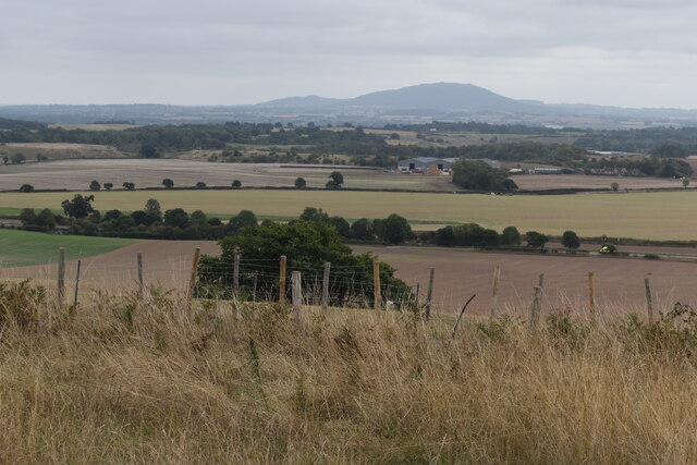
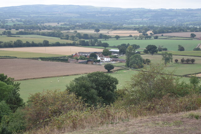
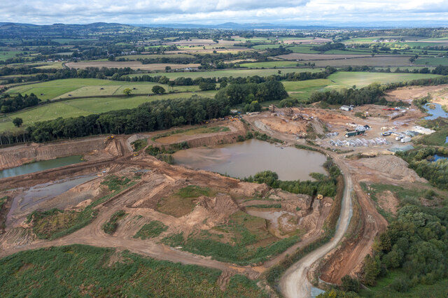
Hunger Hill is a prominent hill located in the county of Shropshire, England. Rising to an elevation of 453 meters (1,486 feet), it is considered one of the highest points in the region, making it a popular destination for hikers and nature enthusiasts. Situated in the stunning South Shropshire Hills Area of Outstanding Natural Beauty, Hunger Hill offers breathtaking panoramic views of the surrounding countryside.
This hill is characterized by its rolling green meadows, dense woodlands, and diverse wildlife. Its slopes are covered with a patchwork of fields, hedgerows, and clusters of trees, creating a picturesque landscape that is a haven for flora and fauna. Visitors to Hunger Hill can expect to encounter a variety of wildlife, including birds such as buzzards, kestrels, and skylarks, as well as deer, rabbits, and foxes.
In addition to its natural beauty, Hunger Hill also holds historical significance. It is believed that the hill was once part of an ancient route used by drovers, who would guide their livestock across the hills to market towns. The remains of old drovers' paths can still be seen today, adding to the sense of history and heritage that surrounds the area.
Hunger Hill is easily accessible, with a network of footpaths and trails that allow visitors to explore its slopes and enjoy the breathtaking views. Whether it is for a leisurely walk, a challenging hike, or simply to immerse oneself in the tranquility of the countryside, Hunger Hill offers a unique and captivating experience for all who venture to its summit.
If you have any feedback on the listing, please let us know in the comments section below.
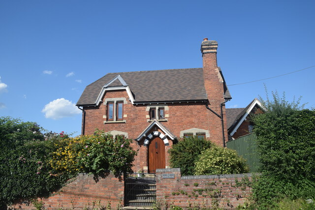
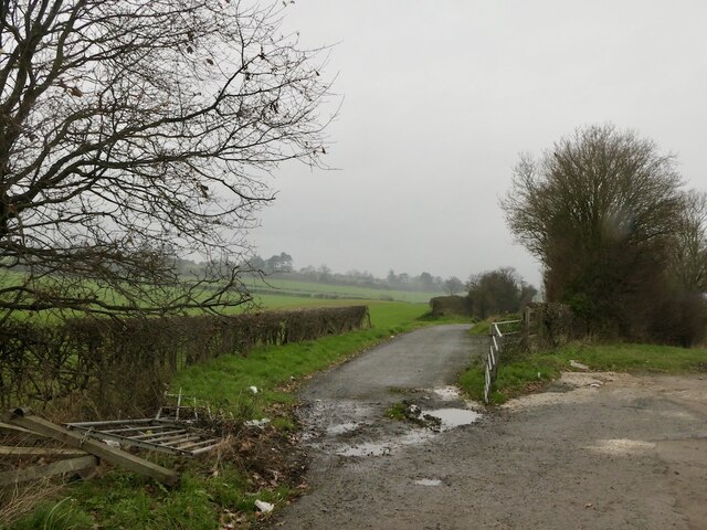
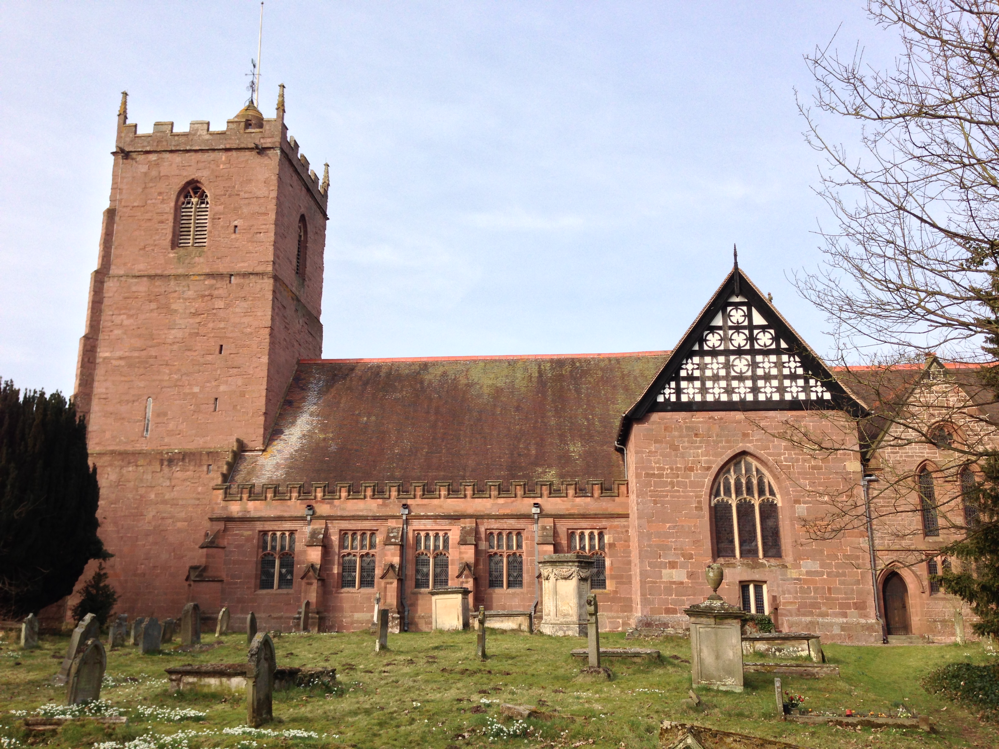
Hunger Hill Images
Images are sourced within 2km of 52.651972/-2.7709819 or Grid Reference SJ4706. Thanks to Geograph Open Source API. All images are credited.


Hunger Hill is located at Grid Ref: SJ4706 (Lat: 52.651972, Lng: -2.7709819)
Unitary Authority: Shropshire
Police Authority: West Mercia
What 3 Words
///lilac.wins.foresight. Near Bayston Hill, Shropshire
Nearby Locations
Related Wikis
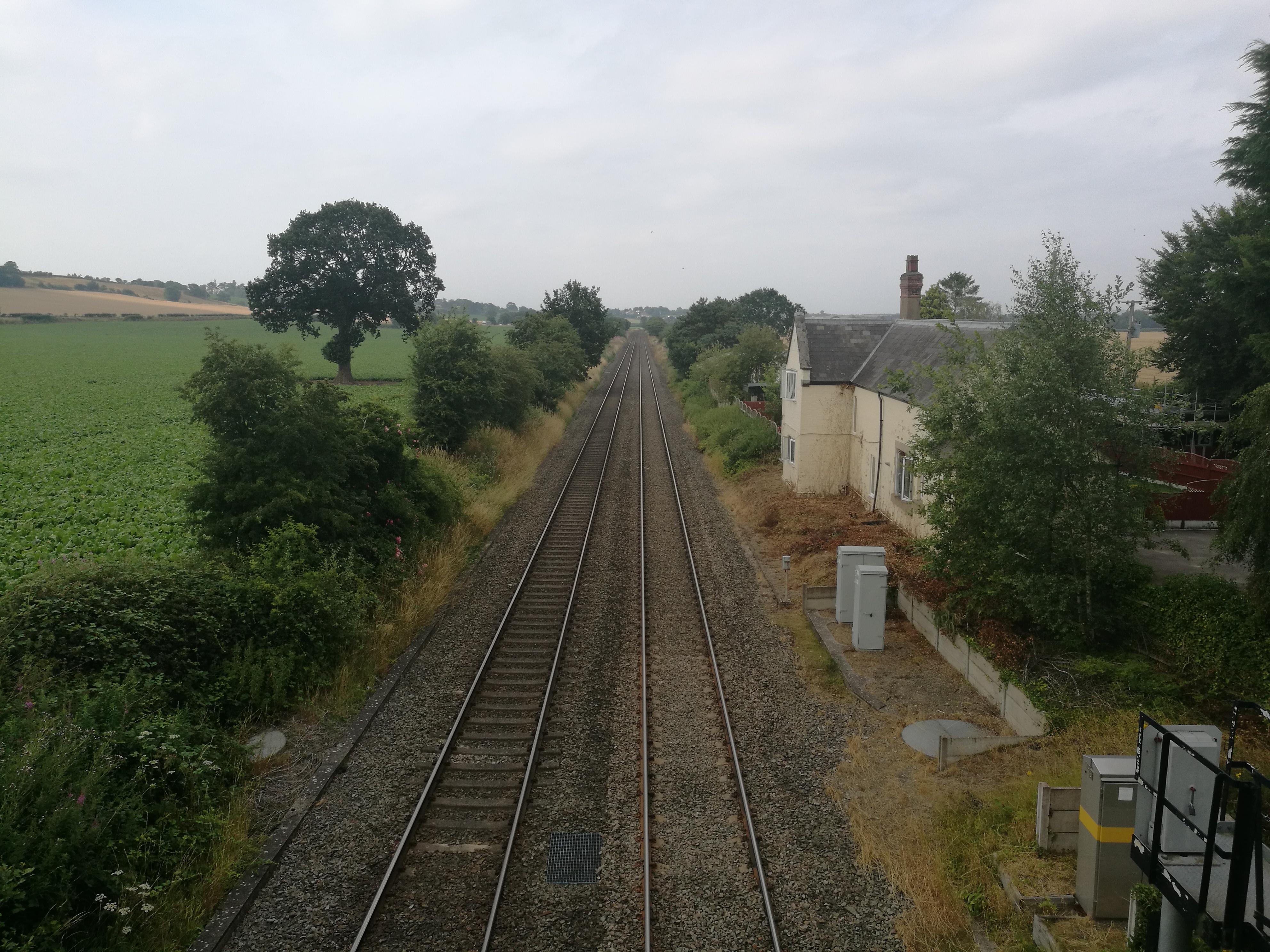
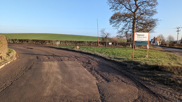
Condover railway station
Condover railway station was located in the village of Condover, Shropshire.Originally built by the Shrewsbury and Hereford Railway and opened in 1852...

Lyth Hill Local Nature Reserve
Lyth Hill is a Local Nature Reserve in Shropshire which contains valuable habitats for wildlife and is associated with the novelist and poet Mary Webb...

Old Coppice
Old Coppice is a hamlet in Shropshire, England. It is situated between Lyth Hill and Great Lyth.

Shrewsbury and Atcham (UK Parliament constituency)
Shrewsbury and Atcham is a constituency represented in the House of Commons of the UK Parliament since 2005 by Daniel Kawczynski, a Conservative.Under...
Condover
Condover is a village and civil parish in Shropshire, England. It is about 5 miles (8 km) south of the county town of Shrewsbury, and just east of the...
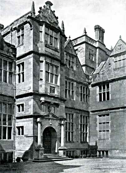
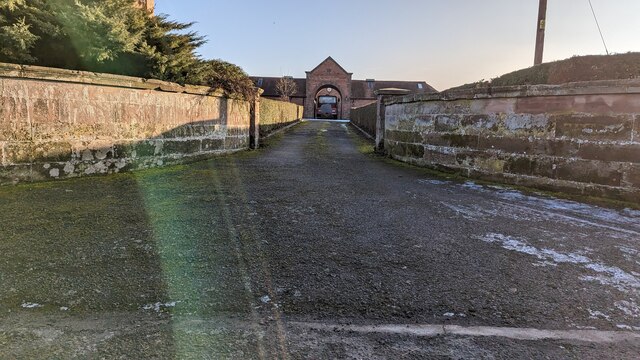
Condover Hall
Condover Hall is an elegant Grade I listed three-storey Elizabethan sandstone building, described as the grandest manor house in Shropshire, standing in...

Stapleton, Shropshire
Stapleton () is a village and former civil parish, now in the parish of Condover, in Shropshire, England. It neighbours the villages of Exfords Green and...

Bayston Hill
Bayston Hill is a village and civil parish in Shropshire, England. It is 3 miles (5 km) south of the county town Shrewsbury and located on the main A49...
Nearby Amenities
Located within 500m of 52.651972,-2.7709819Have you been to Hunger Hill?
Leave your review of Hunger Hill below (or comments, questions and feedback).