Brown Howe

Hill, Mountain in Westmorland South Lakeland

England

Brown Howe

Taking a break on Harter Fell A 'geograph' contributor studies the map whilst taking a break on Harter Fell. The view is north west towards High Street with a glimpse of Blea Water.
Taking a break on Harter Fell Credit: Gordon Hatton

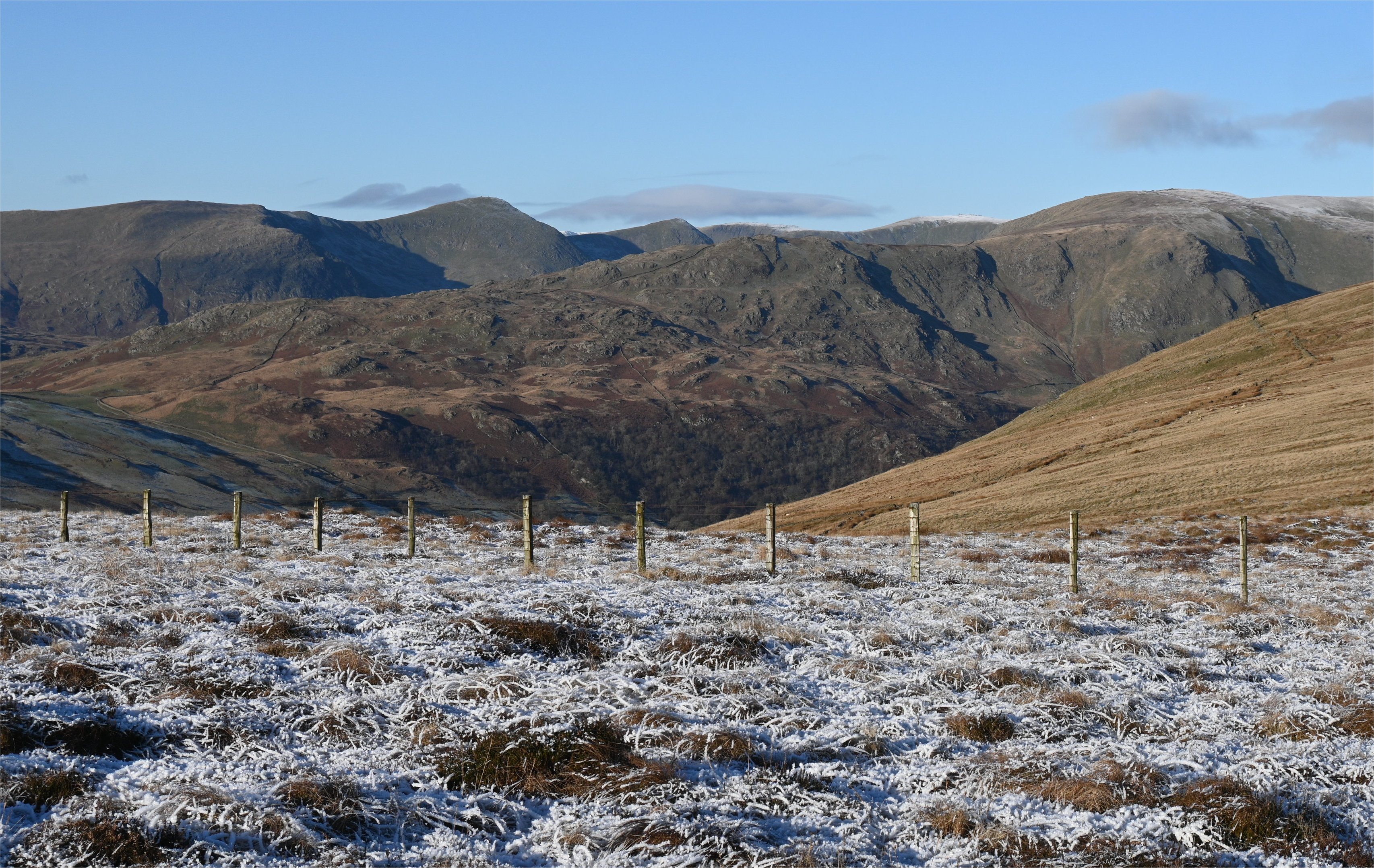
Brown Howe is a prominent hill located in the district of Westmorland, England. Standing at an elevation of 423 meters (1,387 feet), it is classified as a mountain according to the British Marilyns criteria. The hill is situated within the picturesque Lake District National Park, which is renowned for its stunning landscapes and scenic beauty.

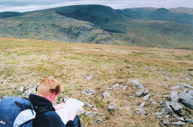
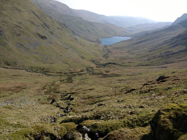
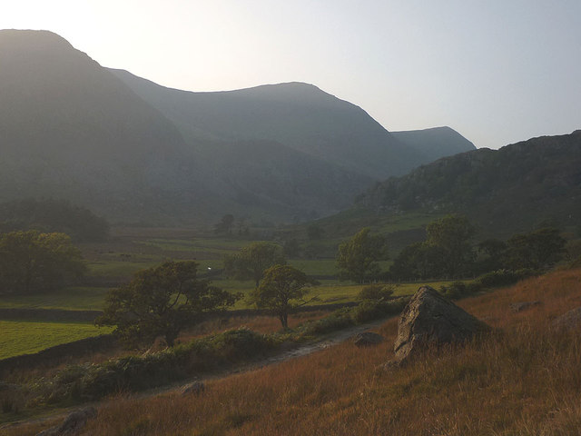
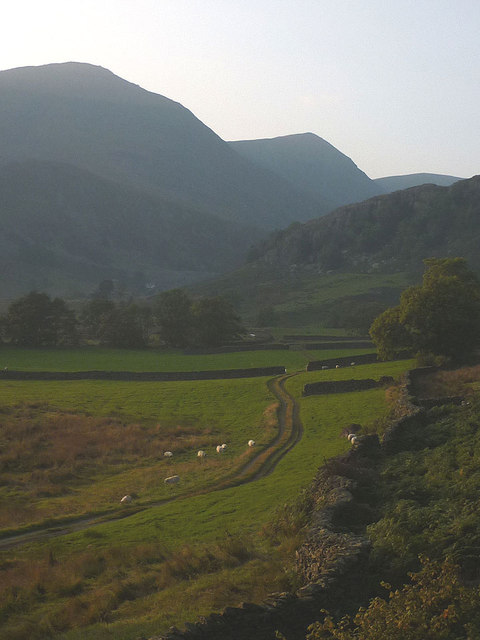
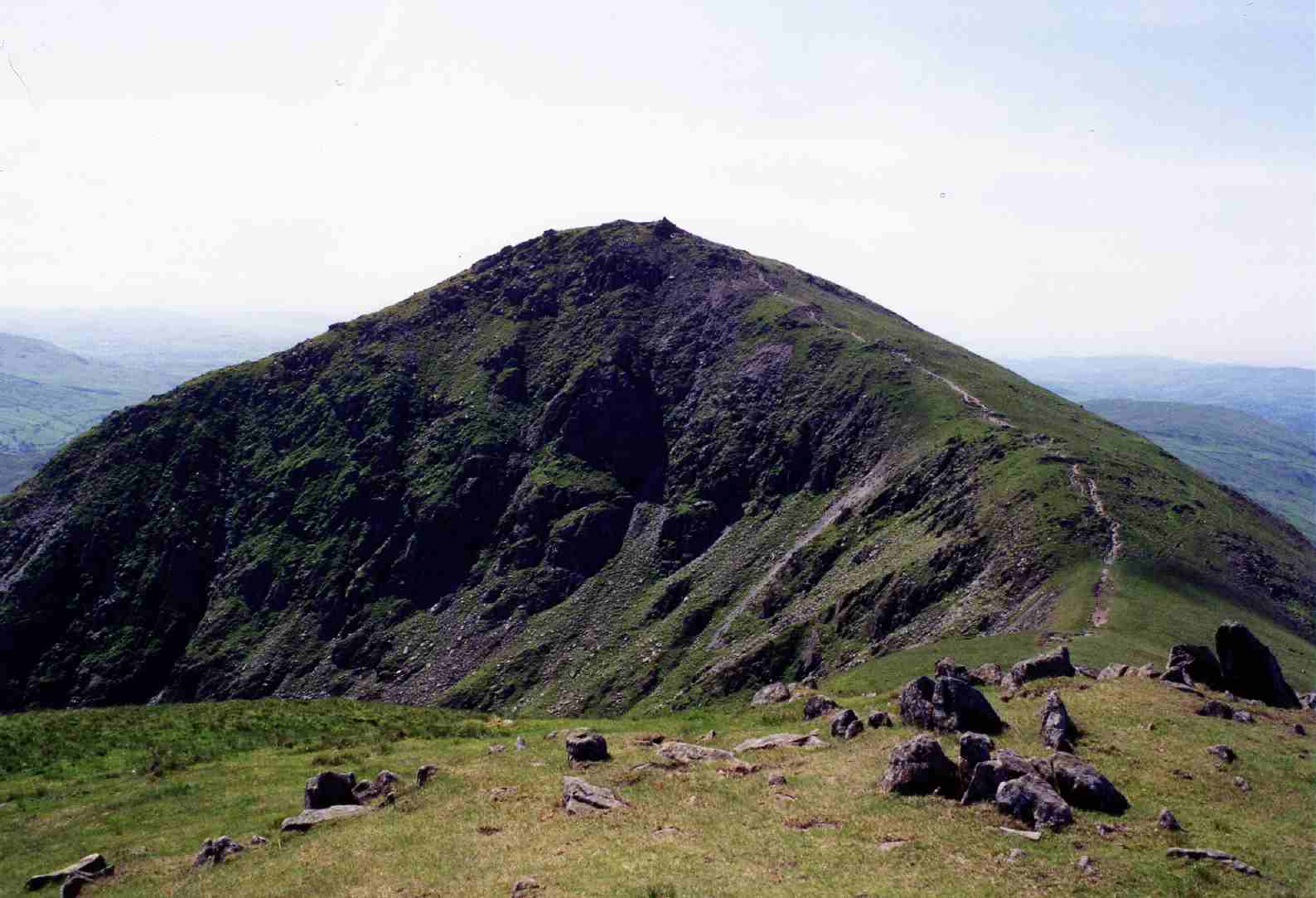
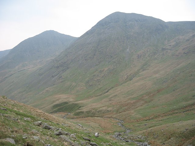
Brown Howe offers breathtaking panoramic views of the surrounding countryside, including the nearby Coniston Water and the Coniston Fells. Its position provides an excellent vantage point for appreciating the natural splendor of the region, making it a popular destination for hikers, nature enthusiasts, and photographers.

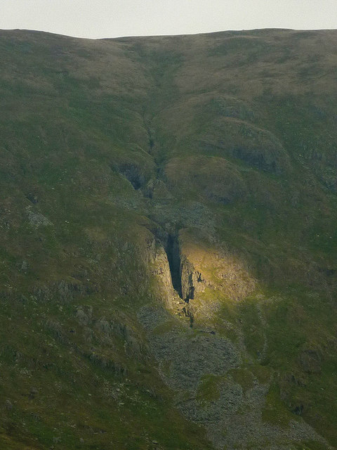
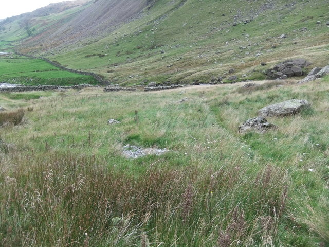
The hill is predominantly composed of rocky outcrops and heather-covered moorland. It is accessible via various hiking trails that wind their way through the rugged terrain. The ascent to the summit can be challenging at times, but the rewarding views make it well worth the effort.

Wildlife is abundant in the area, with visitors often spotting a variety of bird species, including buzzards and kestrels, soaring above. The hill is also home to a diverse range of flora and fauna, with colorful wildflowers adorning the landscape during the warmer months.

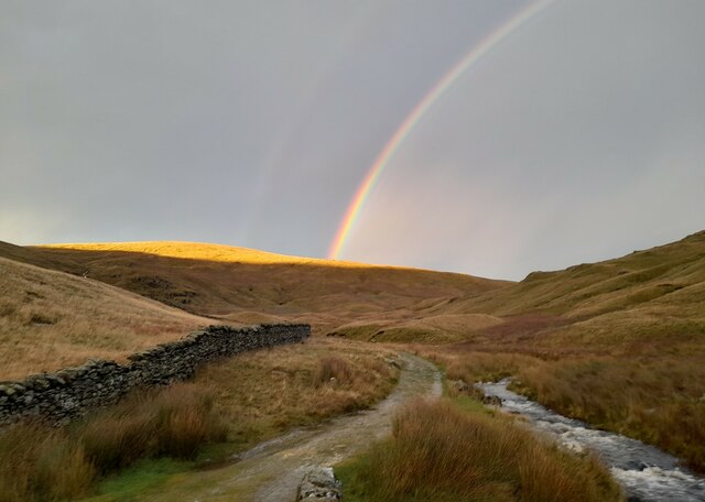
Brown Howe offers a tranquil and serene environment, providing an ideal escape from the hustle and bustle of daily life. Whether you are a seasoned hiker seeking a challenging climb or simply looking for a peaceful spot to enjoy the beauty of nature, Brown Howe is a must-visit destination in Westmorland.

If you have any feedback on the listing, please let us know in the comments section below.
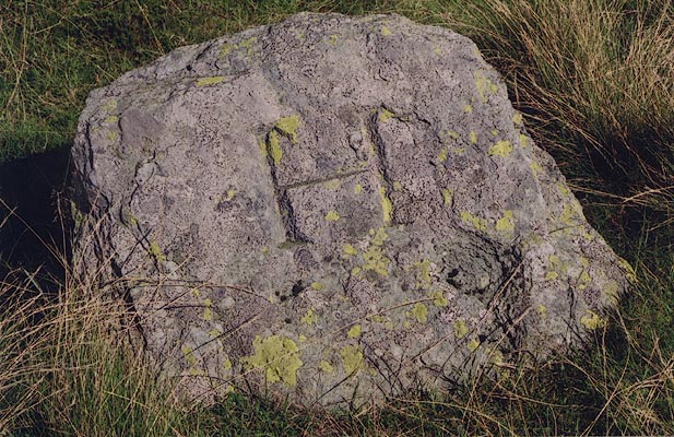
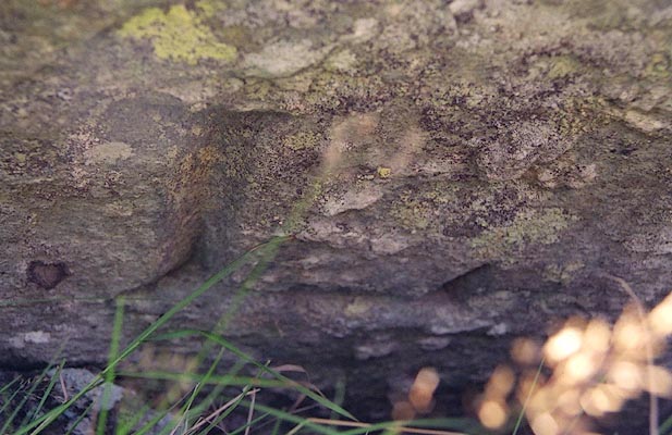
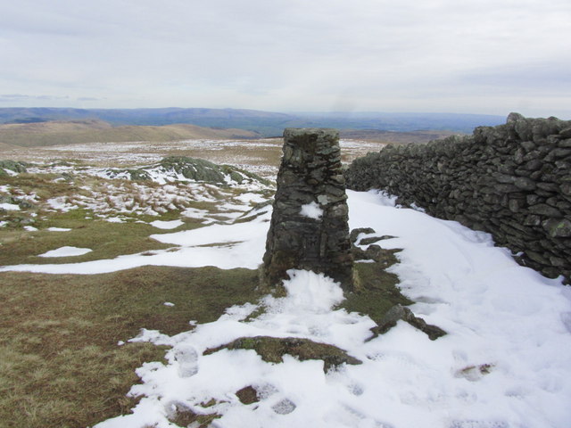
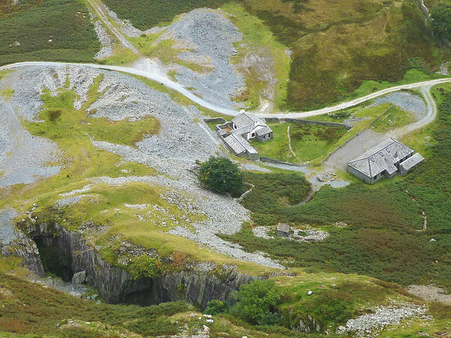
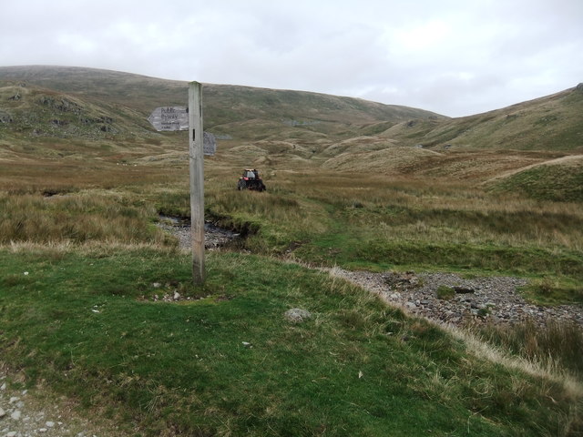
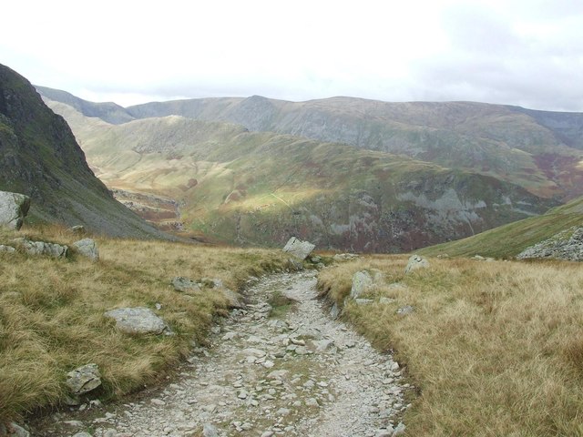
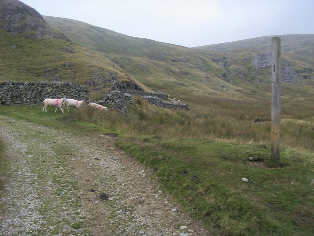
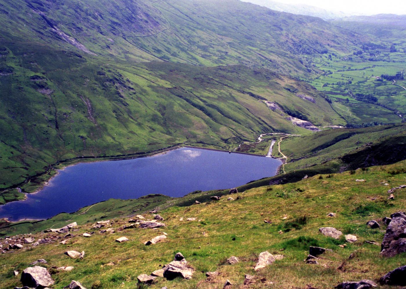
Brown Howe Images

Images are sourced within 2km of 54.466196/-2.8318427 or Grid Reference NY4608. Thanks to Geograph Open Source API. All images are credited.

Taking a break on Harter Fell A 'geograph' contributor studies the map whilst taking a break on Harter Fell. The view is north west towards High Street with a glimpse of Blea Water.
Taking a break on Harter Fell
A 'geograph' contributor studies the map whilst taking a break on Harter Fell. The view is north west towards High Street with a glimpse of Blea Water.
Looking down Kentmere to the reservoir from Gladgrove Gill
Old drove road at the head of Sleddale Old drove road at the head of Sleddale with the rainbow over Branstree.
Old drove road at the head of Sleddale
Old drove road at the head of Sleddale with the rainbow over Branstree.
Old Boundary Marker on Little Harter Fell Estate Boundary Marker at the summit of Little Harter Fell. Inscribed H and L on opposite faces, which refer the Harrison and Lowther estates. On the boundary of Longsleddale and Shap Rural parishes. See also <span class="nowrap"><a title="http://www.geog.port.ac.uk/webmap/thelakes/photos/bjf03.jpg" rel="nofollow ugc noopener" href="http://www.geog.port.ac.uk/webmap/thelakes/photos/bjf03.jpg">Link</a><img style="margin-left:2px;" alt="External link" title="External link - shift click to open in new window" src="https://s1.geograph.org.uk/img/external.png" width="10" height="10"/></span> and <span class="nowrap"><a title="http://www.geog.port.ac.uk/webmap/thelakes/photos/bjf04.jpg" rel="nofollow ugc noopener" href="http://www.geog.port.ac.uk/webmap/thelakes/photos/bjf04.jpg">Link</a><img style="margin-left:2px;" alt="External link" title="External link - shift click to open in new window" src="https://s1.geograph.org.uk/img/external.png" width="10" height="10"/></span>.

Milestone Society National ID: WE_SHALON06em
Old Boundary Marker on Little Harter Fell
Estate Boundary Marker at the summit of Little Harter Fell. Inscribed H and L on opposite faces, which refer the Harrison and Lowther estates. On the boundary of Longsleddale and Shap Rural parishes. See also LinkExternal link and LinkExternal link. Milestone Society National ID: WE_SHALON06em
Kentmere Reservoir & Harter Fell from Yoke
Trig point on Kentmere Pike - view SE
Steel Rigg Quarry and Reservoir Cottage, Kentmere The cottage was originally built to house the caretaker of the reservoir dam and had no connection with the quarries other than its location. Steel Rigg Quarry was the last slate quarry in Kentmere to close (1953). The cottage and nearby buildings now operate as a field centre. Much interesting material for the local mines and quarries <span class="nowrap"><a title="http://www.sdhs.org.uk/wp-content/uploads/2011/08/14-Mines.pdf" rel="nofollow ugc noopener" href="http://www.sdhs.org.uk/wp-content/uploads/2011/08/14-Mines.pdf">Link</a><img style="margin-left:2px;" alt="External link" title="External link - shift click to open in new window" src="https://s1.geograph.org.uk/img/external.png" width="10" height="10"/></span>
Steel Rigg Quarry and Reservoir Cottage, Kentmere
The cottage was originally built to house the caretaker of the reservoir dam and had no connection with the quarries other than its location. Steel Rigg Quarry was the last slate quarry in Kentmere to close (1953). The cottage and nearby buildings now operate as a field centre. Much interesting material for the local mines and quarries LinkExternal link
Spotlight on Hart Crag Quarry, Kentmere A single beam of sunlight picks out the great gash of Hart Crag Quarry on the eastern flank of Kentmere. It was worked in the 18th and 19th centuries. We once followed the one-way tracks of a fox in the snow up to here.
Spotlight on Hart Crag Quarry, Kentmere
A single beam of sunlight picks out the great gash of Hart Crag Quarry on the eastern flank of Kentmere. It was worked in the 18th and 19th centuries. We once followed the one-way tracks of a fox in the snow up to here.
The River Kent above Kentmere Reservoir The river here is more of a mountain beck as it tumbles down from its source in Hall Cove. Steep mountainsides enclose the dale including the conical Froswick seen here. Red deer stags were roaring, adding an extra flavour to an already wild and remote place.
The River Kent above Kentmere Reservoir
The river here is more of a mountain beck as it tumbles down from its source in Hall Cove. Steep mountainsides enclose the dale including the conical Froswick seen here. Red deer stags were roaring, adding an extra flavour to an already wild and remote place.
Upper Kentmere At this time of the year, the sun soon dips behind the range of fells that bound the Kentmere valley. These pastures are the highest in the dale and are about to be cast into shadow.
Upper Kentmere
At this time of the year, the sun soon dips behind the range of fells that bound the Kentmere valley. These pastures are the highest in the dale and are about to be cast into shadow.
The footpath to Tongue House and upper Kentmere Tongue House is the rather grand name for the barn which sits below Tongue Scar, the rocky spur which divides upper Kentmere from Ullstone Gill. Dominating the upper dale are the conical peaks of Ill Bell and Froswick.
The footpath to Tongue House and upper Kentmere
Tongue House is the rather grand name for the barn which sits below Tongue Scar, the rocky spur which divides upper Kentmere from Ullstone Gill. Dominating the upper dale are the conical peaks of Ill Bell and Froswick.
By the east shore of Kentmere Reservoir When full, the reservoir blends well into its remote setting almost at the head of the Kentmere valley. It was built in 1848 to supply water (for motive power) to various mills lower down the dale, including Croppers at Burneside who are currently the owners. Steep fells surround the water and today, stags were roaring in the upper valley lending an almost Highland feel to the scene.
By the east shore of Kentmere Reservoir
When full, the reservoir blends well into its remote setting almost at the head of the Kentmere valley. It was built in 1848 to supply water (for motive power) to various mills lower down the dale, including Croppers at Burneside who are currently the owners. Steep fells surround the water and today, stags were roaring in the upper valley lending an almost Highland feel to the scene.
Sheepfold, Longsleddale
Signpost at head of Longsleddale
Gatescarth Pass begins to descend steeply
Brownhowe Bottom From Brownhowe Bottom the byway heading to the Gatescarth Pass and the bridleway to Mosedale off to the right
Brownhowe Bottom
From Brownhowe Bottom the byway heading to the Gatescarth Pass and the bridleway to Mosedale off to the right
Reservoir Cottage, Kentmere Sun picks out the cottage (now a residential centre for young people) below the prominent spoil tips of the Steel Rigg slate quarry. Light snow dusts the steep slopes of the fells that enclose the upper dale.
Reservoir Cottage, Kentmere
Sun picks out the cottage (now a residential centre for young people) below the prominent spoil tips of the Steel Rigg slate quarry. Light snow dusts the steep slopes of the fells that enclose the upper dale.
Snow on the Kentmere fells The snow cover is only thin but a bitingly cold north wind is blowing enhancing the bleakness of the scene. Lingmell End is the prominent spur on the right.
Snow on the Kentmere fells
The snow cover is only thin but a bitingly cold north wind is blowing enhancing the bleakness of the scene. Lingmell End is the prominent spur on the right.
Show me another place!

Brown Howe is located at Grid Ref: NY4608 (Lat: 54.466196, Lng: -2.8318427)

Administrative County: Cumbria

District: South Lakeland

Police Authority: Cumbria

What 3 Words

///flop.soaks.marginal. Near Ambleside, Cumbria

Nearby Locations

Brown Howe

Related Wikis

Kentmere Pike

Kentmere Pike is a fell in the English Lake District, rising between the valleys of Kentmere and Longsleddale. It is the highpoint on the ridge between...

Harter Fell (Mardale)

Harter Fell is a fell in the far eastern part of the English Lake District. The summit at lies the meeting point of three ridges, and Harter Fell forms...

Kentmere Reservoir

Kentmere Reservoir is a water storage facility situated in the Kentmere valley in the county of Cumbria, England. It is located 10.5 kilometres (6.5 mi...

Shipman Knotts

Shipman Knotts is a fell in the English Lake District in Cumbria, England. It reaches a height of 587 metres (1,926 ft) and is situated in one of the quieter...

Branstree

Branstree is a fell in the Far Eastern part of the English Lake District. It overlooks the valley of Mardale and Haweswater Reservoir. == Topography... ==

Mardale Ill Bell

Mardale Ill Bell is a fell in the English Lake District, rising to the south west of Haweswater Reservoir. It stands on the watershed between Mardale and...

Ill Bell

Ill Bell is a fell in the English Lake District, in the county of Cumbria, standing on the narrow ridge between the valleys of Kentmere and Troutbeck....

Froswick

Froswick is a fell in the English Lake District, standing on the fine narrow ridge between the valleys of Kentmere and Troutbeck. == Topography == To the...

Nearby Amenities

Located within 500m of 54.466196,-2.8318427
Waterway: waterfall
Lat/Long: 54.4620471/-2.834039
Natural: spring
Lat/Long: 54.4700761/-2.8281758
Brown Howe
Ele: 707
Natural: peak
Lat/Long: 54.466251/-2.8319601
The data included in this document is from www.openstreetmap.org. The data is made available under ODbL.

Have you been to Brown Howe?

Leave your review of Brown Howe below (or comments, questions and feedback).