Pinfold Hill
Hill, Mountain in Westmorland South Lakeland
England
Pinfold Hill

Pinfold Hill is a prominent hill located in the county of Westmorland, in the northwestern region of England. Rising to an elevation of approximately 500 feet above sea level, Pinfold Hill is part of the stunning landscape of the Lake District National Park, known for its rolling hills, picturesque lakes, and charming villages.
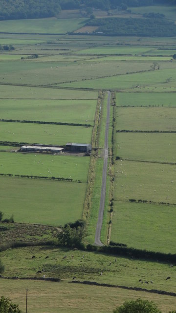
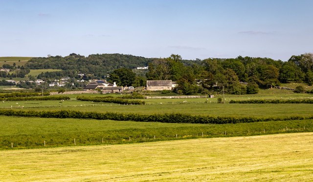
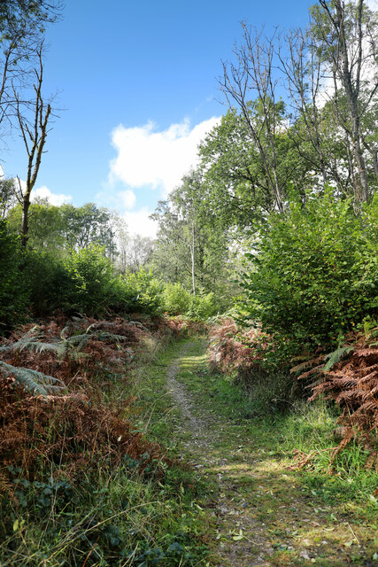
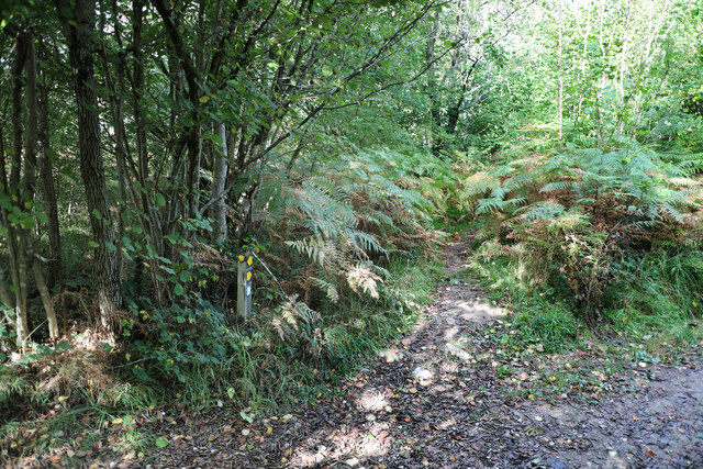
Situated near the small village of Pinfold, the hill offers breathtaking panoramic views of the surrounding countryside. Its location within the national park provides visitors with opportunities for outdoor activities such as hiking, walking, and birdwatching. The hill's gentle slopes make it accessible to people of all ages and fitness levels, making it a popular destination for locals and tourists alike.
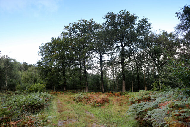
Pinfold Hill is characterized by its lush greenery, dotted with scattered trees and shrubs. The hill is home to a diverse range of wildlife, including various species of birds, small mammals, and insects. Nature enthusiasts can often spot ravens, kestrels, and buzzards soaring through the skies above.
The summit of Pinfold Hill offers a vantage point to admire the breathtaking landscape of Westmorland. On clear days, visitors can enjoy sweeping views of nearby valleys, rolling farmland, and the distant mountains of the Lake District. The hill's tranquil and idyllic setting provides a peaceful retreat for those seeking solace in nature or a quiet spot for a picnic.
Overall, Pinfold Hill is a natural gem within Westmorland's stunning countryside, offering visitors the chance to connect with nature, enjoy outdoor activities, and soak in the beauty of the Lake District National Park.
If you have any feedback on the listing, please let us know in the comments section below.
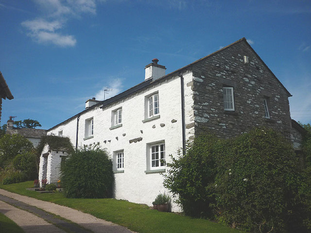
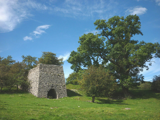
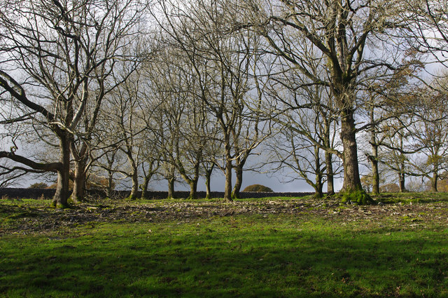
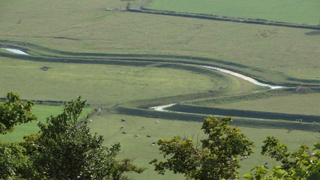
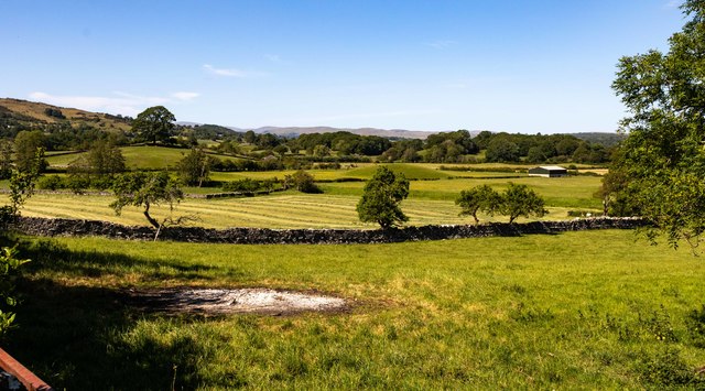
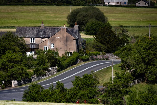
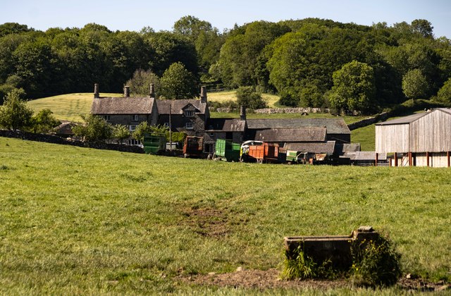
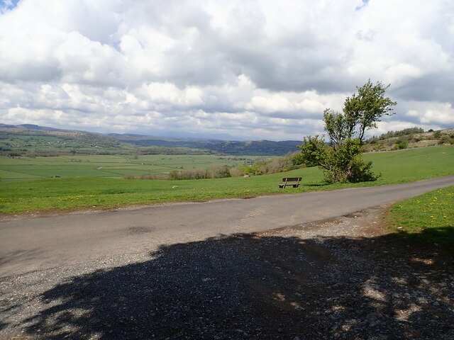
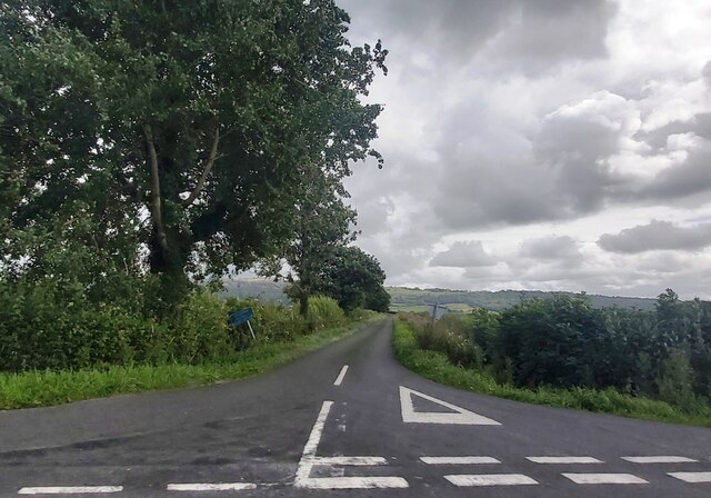
Pinfold Hill Images
Images are sourced within 2km of 54.28765/-2.8283165 or Grid Reference SD4688. Thanks to Geograph Open Source API. All images are credited.


Pinfold Hill is located at Grid Ref: SD4688 (Lat: 54.28765, Lng: -2.8283165)
Administrative County: Cumbria
District: South Lakeland
Police Authority: Cumbria
What 3 Words
///dice.interlude.scam. Near Kendal, Cumbria
Nearby Locations
Related Wikis
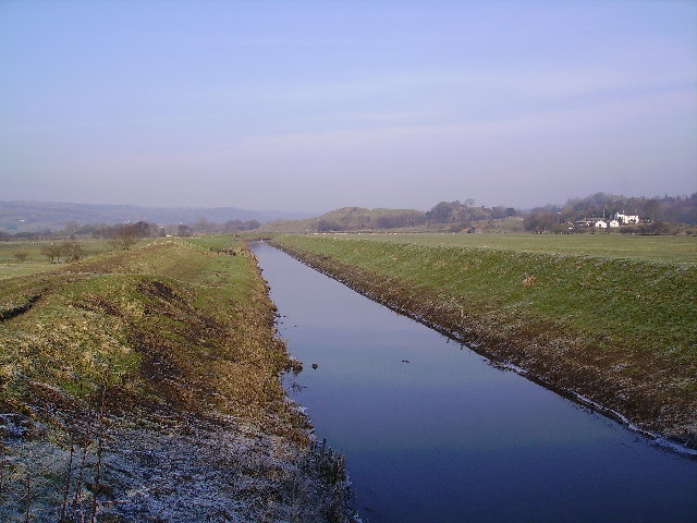
River Pool, Cumbria
The River Pool is a river in the English county of Cumbria. The Pool rises at Waingap near the village of Crook and follows a southerly course, past the...

Lyth Valley
The Lyth Valley is on the edge of the Lake District National Park in Cumbria, England. It gives its name to an electoral ward (one of 45 in South Lakeland...

Crosthwaite and Lyth
Crosthwaite and Lyth is a civil parish in the South Lakeland district of Cumbria, England. In the 2001 census the parish had a population of 562, increasing...

Helsington
Helsington is a civil parish in the South Lakeland district of the English county of Cumbria. It includes the village of Brigsteer and Sizergh Castle...
Nearby Amenities
Located within 500m of 54.28765,-2.8283165Have you been to Pinfold Hill?
Leave your review of Pinfold Hill below (or comments, questions and feedback).