Hill of Ardrone

Hill, Mountain in Banffshire

Scotland

Hill of Ardrone

View of a junction A simple junction taking you to either the car or the hill
View of a junction Credit: Ralph Greig

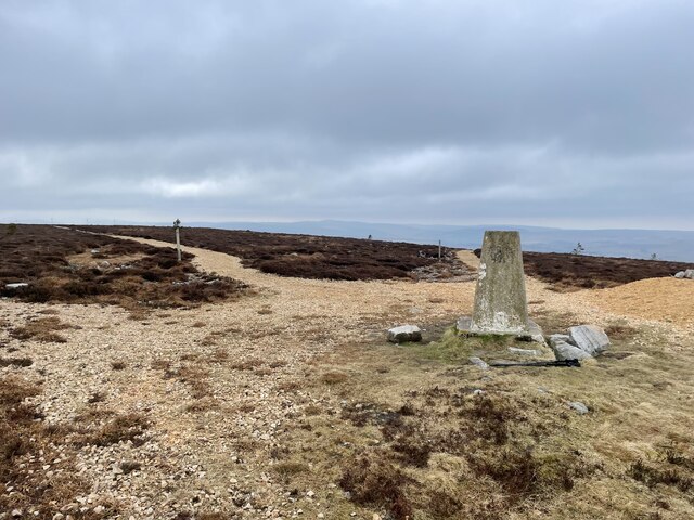
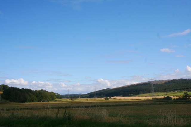
Hill of Ardrone is located in Banffshire, Scotland, and is known for its stunning natural beauty and historical significance. Situated at an elevation of approximately 900 feet, it offers breathtaking panoramic views of the surrounding area.

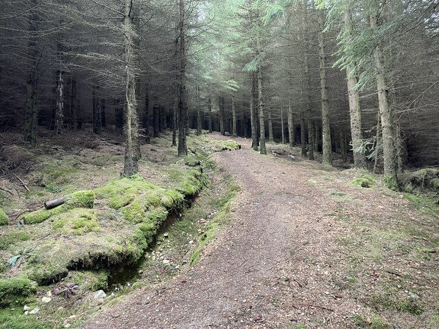
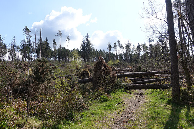
Covered in lush green vegetation, Hill of Ardrone is a prominent landmark in the region and attracts hikers, nature enthusiasts, and history buffs alike. The hill is predominantly composed of granite, giving it a rugged and majestic appearance.

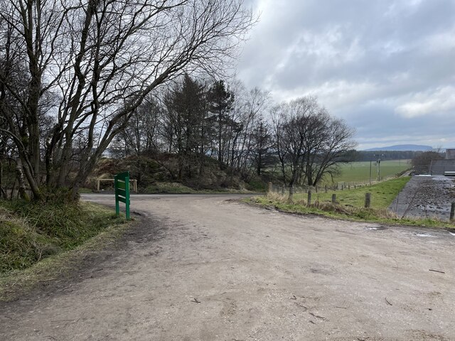
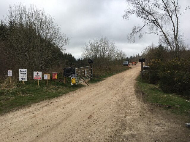
The hill is dotted with several walking trails, allowing visitors to explore its diverse flora and fauna. The surrounding area is abundant in wildlife, including various bird species, deer, and small mammals. Visitors may also come across the remains of ancient settlements and stone structures, which add to the cultural and historical significance of the area.

Hill of Ardrone is a popular destination for outdoor activities such as hillwalking, birdwatching, and photography. Its accessible location and well-maintained trails make it a suitable destination for individuals of all fitness levels.

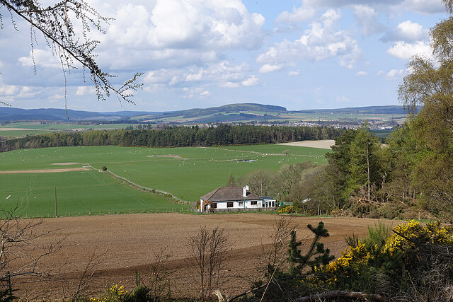
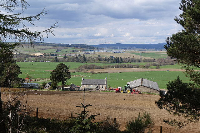
The hill's elevated position provides a unique vantage point, offering stunning views of the nearby coastline, rolling hills, and picturesque valleys. On clear days, it is possible to spot the distant peaks of the Cairngorms National Park.

In conclusion, Hill of Ardrone in Banffshire is a captivating hill that combines natural beauty with historical charm. Its diverse landscapes and rich history make it an ideal destination for nature lovers and history enthusiasts seeking to explore the wonders of Scotland's countryside.

If you have any feedback on the listing, please let us know in the comments section below.

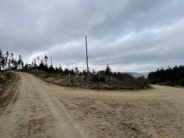
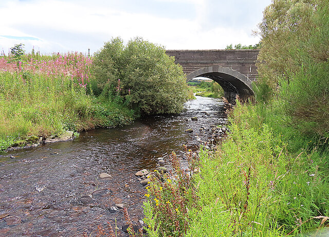
Hill of Ardrone Images

Images are sourced within 2km of 57.544124/-2.9016171 or Grid Reference NJ4650. Thanks to Geograph Open Source API. All images are credited.

View of a junction A simple junction taking you to either the car or the hill
View of a junction
A simple junction taking you to either the car or the hill
Meikle Balloch Hill Summit A Marilyn of 366m
Meikle Balloch Hill Summit
A Marilyn of 366m
Twisty path through the forest The path back down from the Summit.
Beware mountain bikes.
Twisty path through the forest
The path back down from the Summit. Beware mountain bikes.
Entrance to Balloch Car Park A good size car park for the Balloch
Entrance to Balloch Car Park
A good size car park for the Balloch
No Way! The path up from the car park is comprehensively obstructed by trees blown down during Storm Arwen. Fortunately this is just a popular short cut, and the slightly longer way round by road is clear of fallen trees. No doubt Forest and Land Scotland will eventually get round to clearing it, once the higher priority work has been done.
No Way!
The path up from the car park is comprehensively obstructed by trees blown down during Storm Arwen. Fortunately this is just a popular short cut, and the slightly longer way round by road is clear of fallen trees. No doubt Forest and Land Scotland will eventually get round to clearing it, once the higher priority work has been done.
Dwarick House The house stands in an elevated position with a broad view across Strath Isla and Keith, which is towards the right.
Dwarick House
The house stands in an elevated position with a broad view across Strath Isla and Keith, which is towards the right.
Wester Herricks A farm with a view, on the slope of The Balloch. These day the view takes in the pale scar of Blackhillock Quarry, on the left; the vast Blackhillock electricity transformer in the middle distance, with its attendant power lines; and the wind turbines in the Drummuir wind farm on the skyline.
Wester Herricks
A farm with a view, on the slope of The Balloch. These day the view takes in the pale scar of Blackhillock Quarry, on the left; the vast Blackhillock electricity transformer in the middle distance, with its attendant power lines; and the wind turbines in the Drummuir wind farm on the skyline.
Forest entrance near Wester Herricks
Path on Meikle Balloch Hill
Heathery slopes above Balloch Wood
Path on Meikle Balloch Hill
Meikle Balloch Hill
Meikle Balloch Hill
Forestry road in Balloch Wood
Minor road towards Keith
Strathisla to Meikle Balloch A view of Strathisla , by Cantly, to the hill of Meikle Balloch beyond.
Strathisla to Meikle Balloch
A view of Strathisla , by Cantly, to the hill of Meikle Balloch beyond.
The Strath Farmland and woodland in Strathisla with Little Balloch Hill in the distance on the right.
The Strath
Farmland and woodland in Strathisla with Little Balloch Hill in the distance on the right.
Burn of Aultmore Looking downstream from the Bridge of Auchinhove towards the River Isla.
Burn of Aultmore
Looking downstream from the Bridge of Auchinhove towards the River Isla.
Burn of Aultmore Looking downstream. The Bridge of Auchinhove is just in the next square.
Burn of Aultmore
Looking downstream. The Bridge of Auchinhove is just in the next square.
Show me another place!

Hill of Ardrone is located at Grid Ref: NJ4650 (Lat: 57.544124, Lng: -2.9016171)

Unitary Authority: Moray

Police Authority: North East

What 3 Words

///bottled.glossed.reflected. Near Keith, Moray

Nearby Locations

Hill of Ardrone

Related Wikis

Keith Grammar School

Keith Grammar School is a secondary school in, Moray, Scotland. It was built in 1965 by the Educational Committee of Banffshire County Council. As of September...

Kynoch Park

Kynoch Park is a football ground in Keith in north-east Scotland, which is the home ground of Highland Football League side Keith F.C. It is located on...

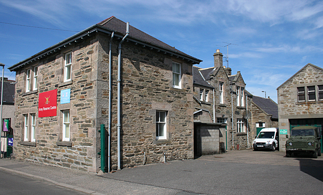
Union Street drill hall, Keith, Moray

The Union Street drill hall is a military installation in Keith, Scotland. == History == The building was designed as the headquarters of the 6th (Banff...

Keith, Moray

Keith (Scottish Gaelic: Baile Chèith, or Cèith Mhaol Rubha (archaic)) is a small town in the Moray council area in north east Scotland. It has a population...

Nearby Amenities

Located within 500m of 57.544124,-2.9016171
Hill of Ardrone
Natural: peak
Lat/Long: 57.5438683/-2.9007769
Power: pole
Lat/Long: 57.5405668/-2.8969474
Power: pole
Lat/Long: 57.5405433/-2.8986824
Power: pole
Lat/Long: 57.5405114/-2.9001315
Power: pole
Lat/Long: 57.5404879/-2.9015766
Power: pole
Lat/Long: 57.5407053/-2.9030138
Power: pole
Lat/Long: 57.5409215/-2.9044446
Power: pole
Lat/Long: 57.5411646/-2.9059755
Power: pole
Lat/Long: 57.5413962/-2.9074725
Power: pole
Lat/Long: 57.5409961/-2.9020493
Power: pole
Lat/Long: 57.5416345/-2.9026576
Power: pole
Lat/Long: 57.5422329/-2.9032116
Power: pole
Lat/Long: 57.542788/-2.9037305
Power: pole
Lat/Long: 57.5433356/-2.9042389
Power: pole
Lat/Long: 57.5439396/-2.9047894
Power: pole
Lat/Long: 57.5443742/-2.9051821
Power: pole
Lat/Long: 57.5446883/-2.9054654
Power: pole
Lat/Long: 57.545005/-2.905756
Power: pole
Lat/Long: 57.5453783/-2.9061086
Power: pole
Lat/Long: 57.5457399/-2.906425
Power: pole
Lat/Long: 57.5461572/-2.9068017
Power: pole
Lat/Long: 57.5464254/-2.9067389
Power: pole
Lat/Long: 57.547063/-2.9066448
Power: pole
Lat/Long: 57.5474544/-2.9062511
Power: pole
Lat/Long: 57.5479598/-2.9057318
Generator Method: wind_turbine
Generator Source: wind
Power: generator
Lat/Long: 57.5430392/-2.9057901
Power: pole
Lat/Long: 57.5400142/-2.902963
The data included in this document is from www.openstreetmap.org. The data is made available under ODbL.

Have you been to Hill of Ardrone?

Leave your review of Hill of Ardrone below (or comments, questions and feedback).