Roehill
Hill, Mountain in Banffshire
Scotland
Roehill
Roehill is a prominent hill located in the Banffshire region of Scotland. Situated in the northeastern part of the country, Roehill is characterized by its rugged terrain and breathtaking natural beauty. With an elevation of approximately 590 meters (1,936 feet), it stands as a notable landmark in the area.
The hill is part of the larger Grampian Mountains, which span across the Scottish Highlands. Roehill boasts stunning panoramic views, offering visitors a glimpse of the surrounding picturesque landscapes. On clear days, one can see the sparkling waters of the North Sea in the distance, contrasting with the lush greenery that blankets the lower slopes.
The ascent to Roehill can be challenging, as the terrain is steep and rocky in some sections. However, hikers are rewarded for their efforts with breathtaking vistas at the summit. The hill is a popular destination among outdoor enthusiasts, who are drawn to its natural splendor and the tranquility it offers.
Roehill is also home to a diverse range of flora and fauna. The hill's slopes are covered in heather, providing a vibrant purple hue to the landscape during the flowering season. Various bird species, including red grouse and golden eagles, can be spotted soaring through the skies above.
Overall, Roehill is a remarkable natural landmark in Banffshire, offering visitors an opportunity to immerse themselves in the beauty of Scotland's rugged countryside. Whether it's for a challenging hike or simply to enjoy the stunning vistas, Roehill is a must-visit destination for nature enthusiasts and adventurers alike.
If you have any feedback on the listing, please let us know in the comments section below.
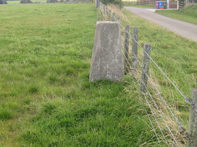
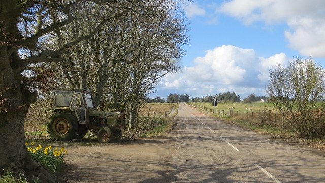
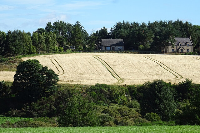
Roehill Images
Images are sourced within 2km of 57.580535/-2.9036381 or Grid Reference NJ4654. Thanks to Geograph Open Source API. All images are credited.


Roehill is located at Grid Ref: NJ4654 (Lat: 57.580535, Lng: -2.9036381)
Unitary Authority: Moray
Police Authority: North East
What 3 Words
///soonest.many.plotting. Near Keith, Moray
Nearby Locations
Related Wikis

Newmill
Newmill is a planned village 2 kilometres (1.2 mi) north of the town of Keith in the Moray council area of north-east Scotland. The resident population...

Foudland Hills
The Foudland Hills is a mountain range in the northeast of Aberdeenshire, Scotland and northwest of Morayshire. The Foudland Hills are a prominent feature...

Keith railway station
Keith railway station is a railway station serving the town of Keith, Moray, Scotland. The station is managed by ScotRail and is on the Aberdeen to Inverness...
Keith Grammar School
Keith Grammar School is a secondary school in, Moray, Scotland. It was built in 1965 by the Educational Committee of Banffshire County Council. As of September...
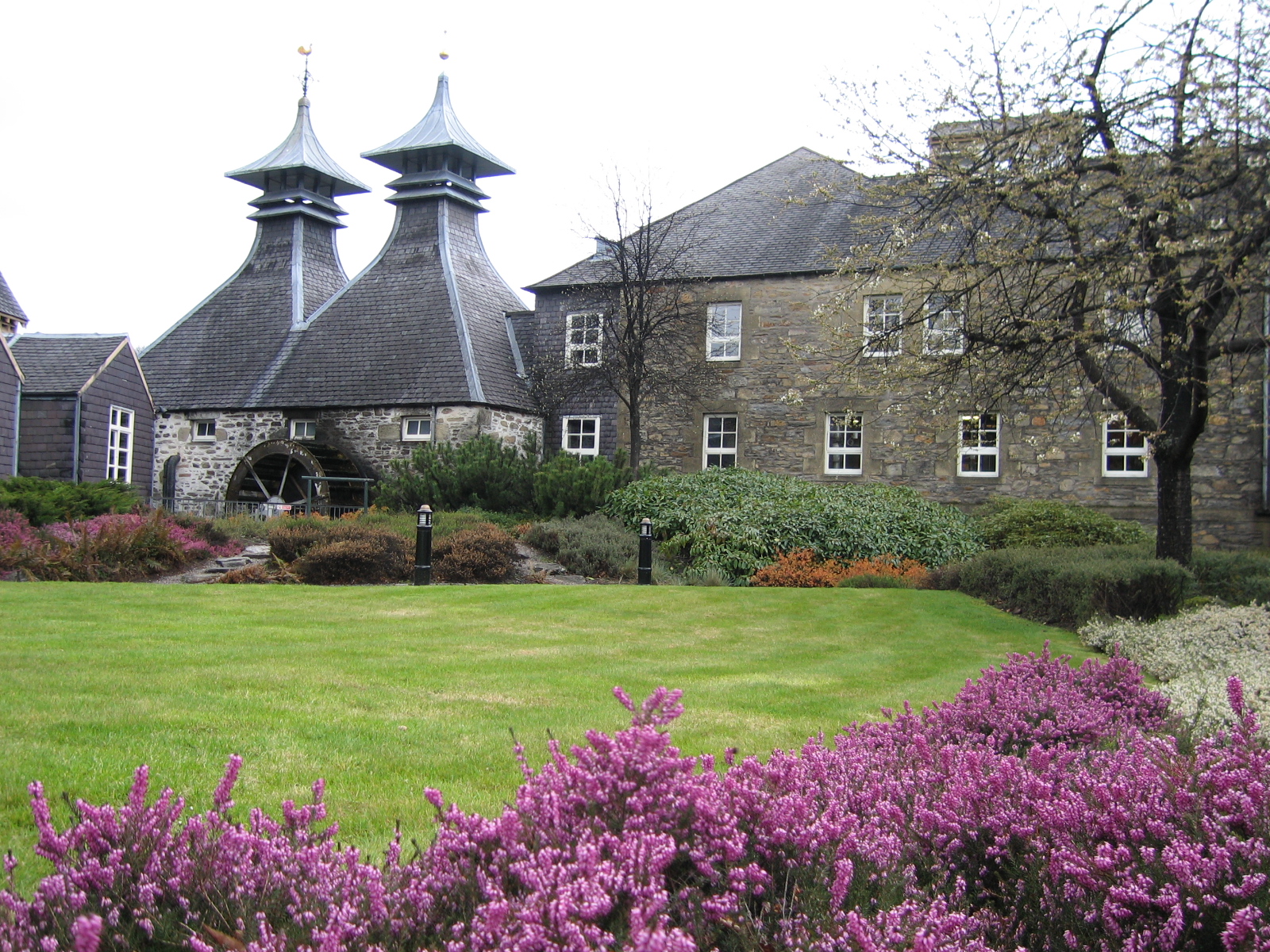
Strathisla distillery
Strathisla distillery is the oldest continuously operating distillery in the Scottish Highlands. == History == It was founded as the Milltown distillery...

Chivas Regal
Chivas Regal () is a blended Scotch whisky produced by the Chivas Brothers subsidiary of Pernod Ricard in Scotland. Chivas Regal was created in 1909 by...
Strathisla Mills railway station
Strathisla Mills railway station served the town of Keith, Moray, Scotland from 1985 to 1993 on the Keith and Dufftown Railway. == History == The station...
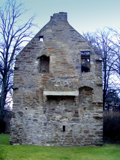
Milton Tower
Milton Tower is a ruined castle in Keith, Moray in Scotland. Built and remodelled over several centuries, it was started around 1480 for George Ogilvie...
Nearby Amenities
Located within 500m of 57.580535,-2.9036381Have you been to Roehill?
Leave your review of Roehill below (or comments, questions and feedback).