Hill of Maud
Hill, Mountain in Banffshire
Scotland
Hill of Maud

Hill of Maud, located in Banffshire, Scotland, is a prominent hill that offers breathtaking views and a tranquil escape for nature enthusiasts. Rising to an elevation of approximately 340 meters (1,115 feet), it is a popular destination for hikers, walkers, and photographers.
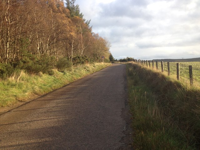
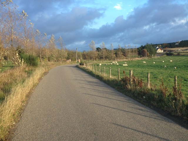
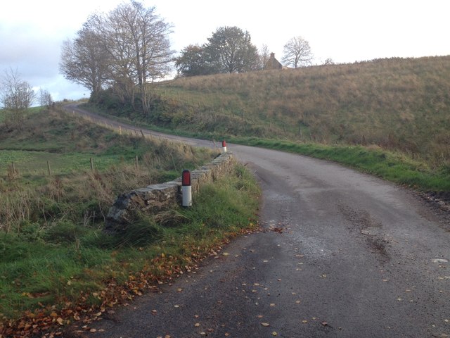
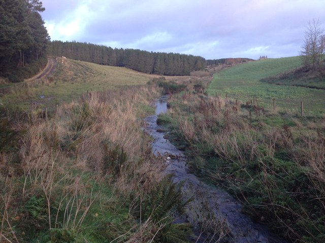
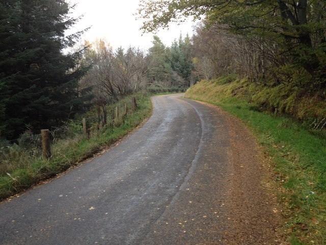
Situated near the village of Maud, the hill is easily accessible, with a well-maintained path leading to its summit. The ascent is moderate, making it suitable for individuals of varying fitness levels. Along the way, visitors can enjoy the diverse flora and fauna of the area, including heather, wildflowers, and various bird species.
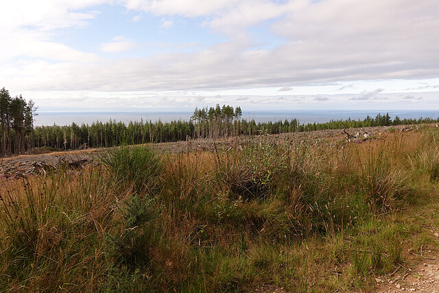
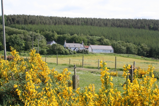
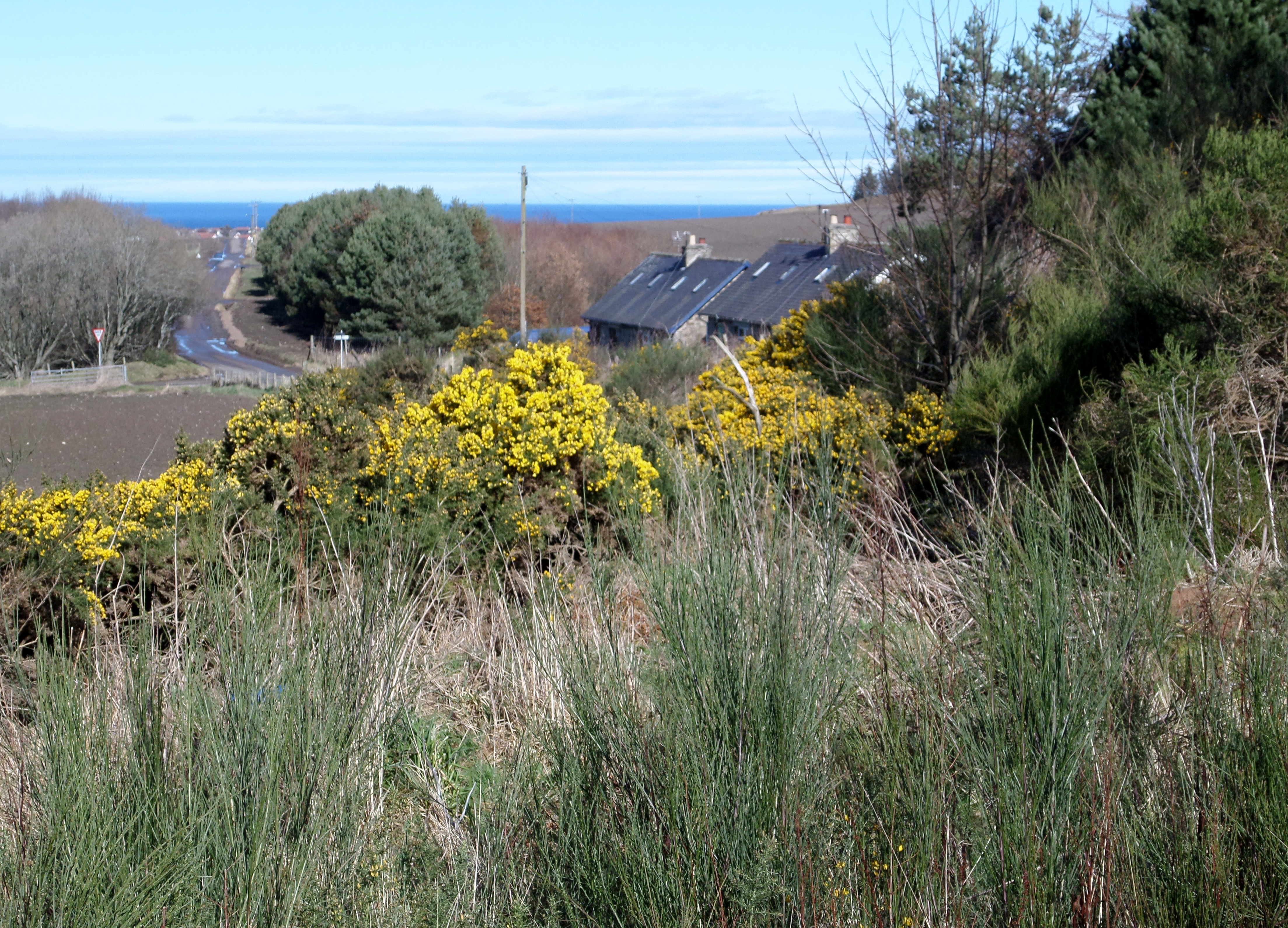
Reaching the top of Hill of Maud rewards visitors with panoramic vistas of the surrounding countryside. On a clear day, the views stretch across the rolling hills, valleys, and farmland of Banffshire, providing a picturesque backdrop for photographs. The hill's proximity to the coast also offers glimpses of the North Sea in the distance.
The hill is an ideal spot for picnics and provides a tranquil atmosphere for relaxation and contemplation. Visitors can find a sense of peace as they soak in the natural beauty and enjoy the serenity of the surroundings.
Whether it's for a leisurely stroll, a challenging hike, or simply to immerse oneself in the splendor of the Scottish countryside, Hill of Maud offers a captivating experience for all who venture to its summit.
If you have any feedback on the listing, please let us know in the comments section below.
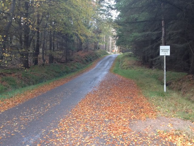
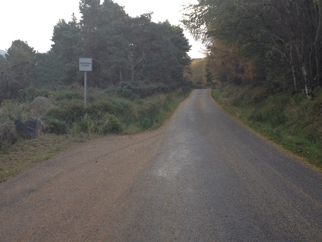
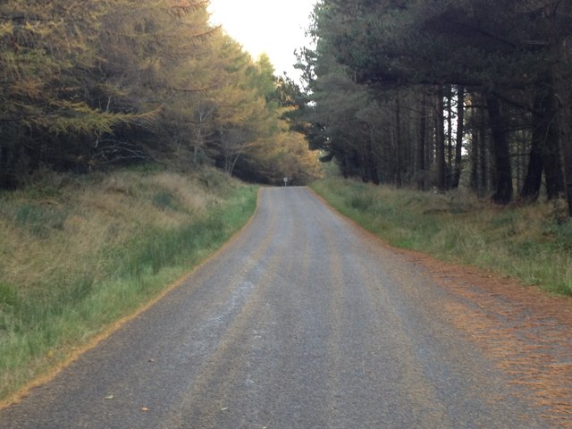
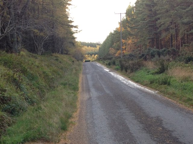
Hill of Maud Images
Images are sourced within 2km of 57.653351/-2.9059841 or Grid Reference NJ4662. Thanks to Geograph Open Source API. All images are credited.


Hill of Maud is located at Grid Ref: NJ4662 (Lat: 57.653351, Lng: -2.9059841)
Unitary Authority: Moray
Police Authority: North East
What 3 Words
///partied.built.bins. Near Buckie, Moray
Nearby Locations
Related Wikis

Battle of Bauds
Battle of Bauds was a battle fought in 962 in an area known as the Bauds, south of Findochty and west of Cullen near Portknockie, Scotland between Scotland...

Letterfourie House
Letterfourie House is a Georgian house in Moray, built by Robert Adam and completed in 1773. Its main block has three main storeys, with a raised cellar...

Craigmin Bridge
Craigmin Bridge is an eighteenth century bridge within the grounds of Letterfourie House, in Moray, Scotland. Spanning the Burn of Letterfourie, it once...

Bin of Cullen
Bin of Cullen or Bin Hill (Scottish Gaelic: Am Binnean) is a hill in Moray, Scotland directly inland from Findochty. Bin of Cullen is 320 m in height and...
Drybridge Platform railway station
Drybridge Platform railway station or Drybridge railway station was a station which served the hamlet of that name in the parish of Rathven and in addition...
Buckie railway station (Highland Railway)
Buckie railway station was one of two stations which once served the town of Buckie, in the parish of Rathven, Scottish county of Moray. This Highland...
Rathven railway station
Rathven railway station was a station which served the hamlet of that name, about a mile away in the parish of Rathven, Scottish county of Moray. It was...
Rathven
Rathven (Scots: Raffin) is an ecclesiastical parish, village and former civil parish in the historic county of Banff, now in Moray, Scotland. The civil...
Nearby Amenities
Located within 500m of 57.653351,-2.9059841Have you been to Hill of Maud?
Leave your review of Hill of Maud below (or comments, questions and feedback).