Carus Hill

Hill, Mountain in Westmorland South Lakeland

England

Carus Hill

Row of cottages on north side of A591 The cottages are on the north side of an earlier alignment of the A591, beside Reston Hall, just west of Staveley.
Row of cottages on north side of A591 Credit: Trevor Littlewood

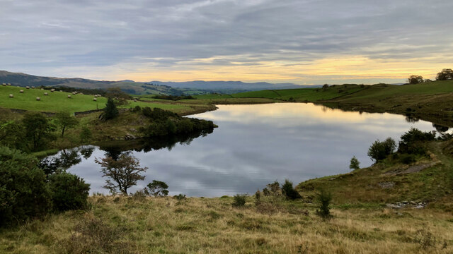
Carus Hill, Westmorland, located in the county of Cumbria, England, is a prominent hill that forms part of the stunning Lake District National Park. Standing at an elevation of approximately 716 meters (2,349 feet), it offers breathtaking views of the surrounding countryside and is a popular destination for hikers and nature enthusiasts.

Carus Hill is known for its distinctive conical shape and rocky terrain, making it a challenging yet rewarding climb for experienced walkers. The hill is composed mainly of volcanic rock, including a type of igneous rock known as andesite, which gives it its rugged and imposing appearance.

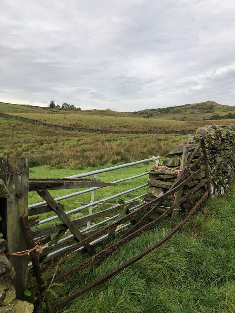
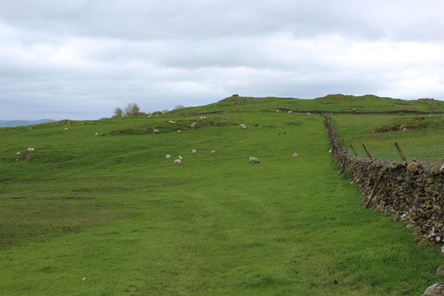
The surrounding area of Carus Hill is rich in wildlife, with many species of birds, including peregrine falcons and red kites, making their home in the crags and cliffs. The hill is also home to several rare and protected plant species, adding to its ecological significance.

At the summit of Carus Hill, visitors can enjoy panoramic vistas of the Lake District, with the sprawling valleys, rolling hills, and shimmering lakes creating a picturesque backdrop. On clear days, it is even possible to see as far as the Irish Sea and the mountains of Scotland.

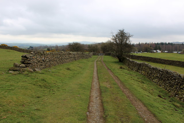
Carus Hill attracts outdoor enthusiasts throughout the year, with activities such as hillwalking, rock climbing, and photography being popular pursuits. The hill offers a unique opportunity to connect with nature and experience the beauty of the British countryside.

If you have any feedback on the listing, please let us know in the comments section below.
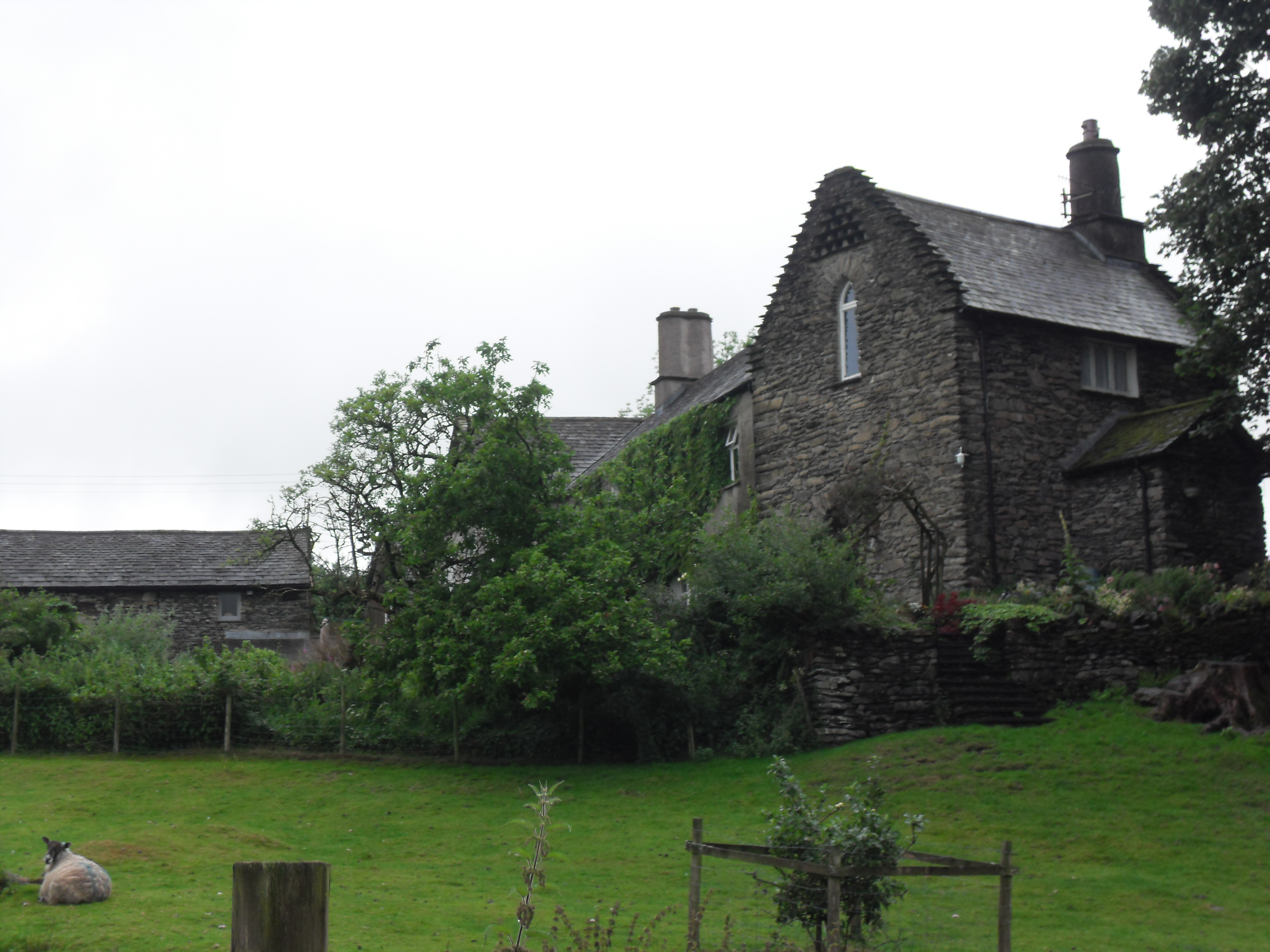
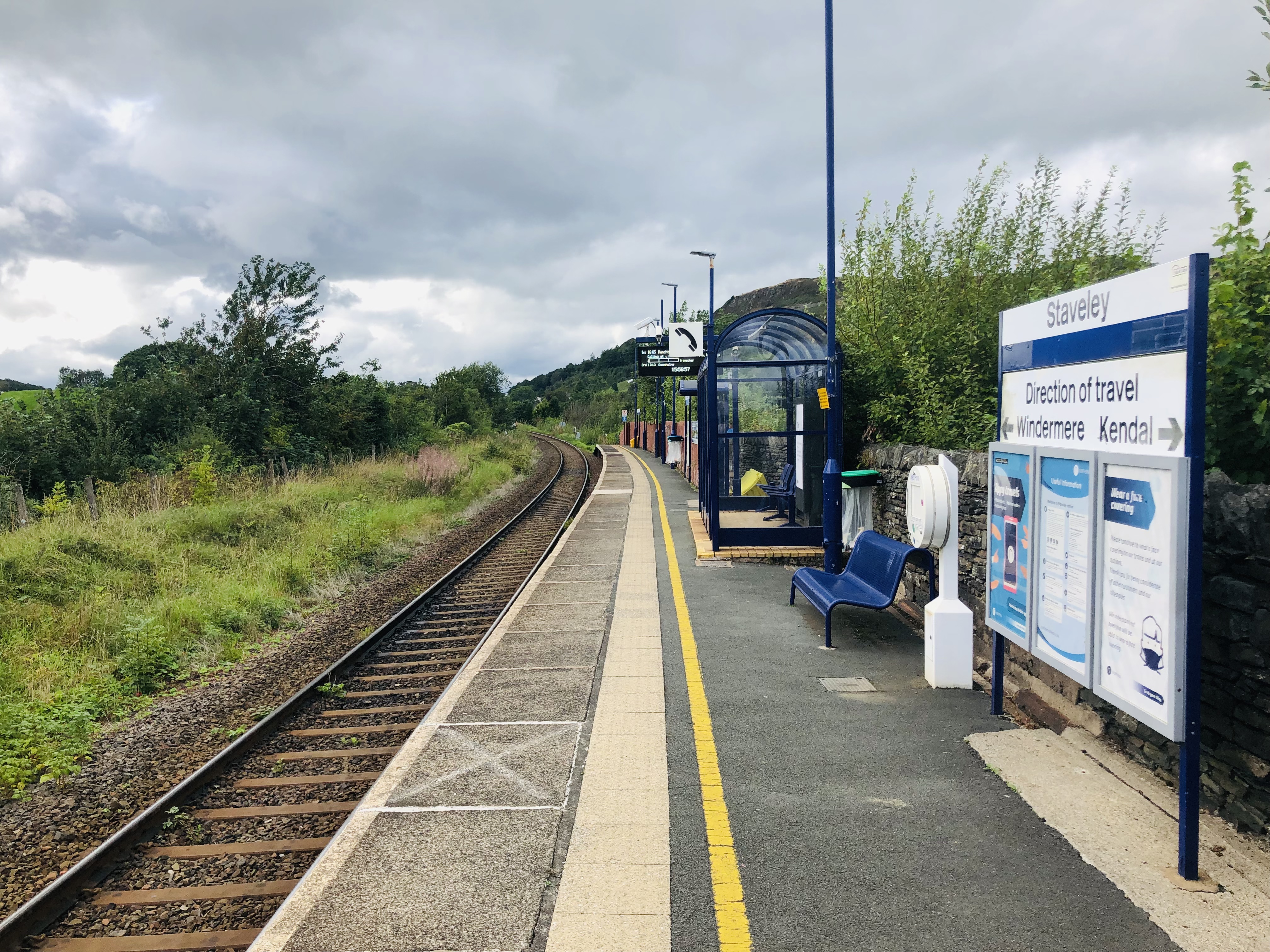
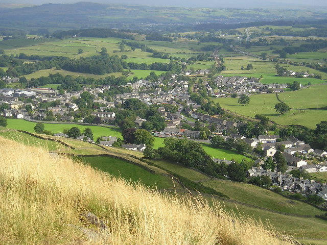
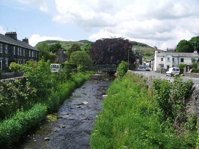
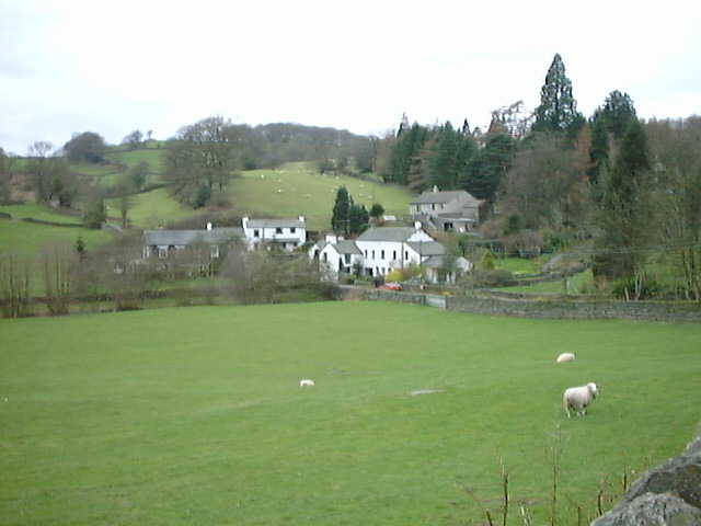
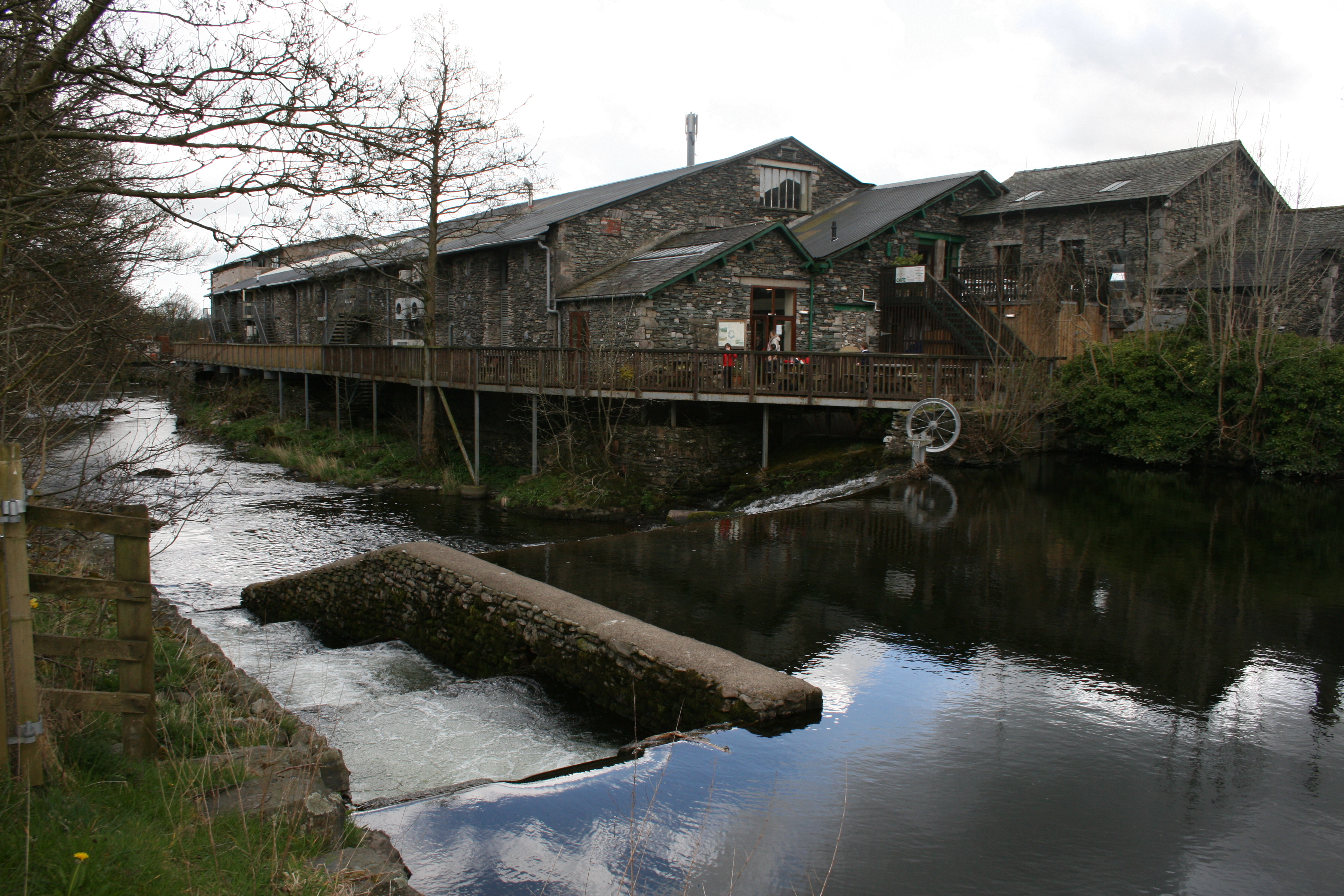
Carus Hill Images

Images are sourced within 2km of 54.363667/-2.8321082 or Grid Reference SD4696. Thanks to Geograph Open Source API. All images are credited.

Row of cottages on north side of A591 The cottages are on the north side of an earlier alignment of the A591, beside Reston Hall, just west of Staveley.
Row of cottages on north side of A591
The cottages are on the north side of an earlier alignment of the A591, beside Reston Hall, just west of Staveley.
A591 near Staveley
A591 near Staveley
Suart’s Reservoir Suart’s Reservoir which is on the south side of the valley in the parish of Nether Staveley. It is entirely on farmland with no public access so I feel privileged in being able to feature it today. It is unnamed on the Ordnance Survey map, but a local historian, the late Joe Scott, names it as “Suart’s Reservoir’ so that’s a good enough name for me. He gives a date of c. 1850, however I find that the Westmorland Gazette was advertising for “Wallers, Excavators & Puddlers” for “the making of a reservoir, near Staveley  for the Messrs. Suart” on March 8th, 1854. So that could be one and the same.

There was an explosion of reservoir construction in the Kent valley at this time due to the numerous mills needing a reliable flow of water.

There were some 15 mills on the river Kent and its tributaries, the Sprint and the Mint, in 1844, and an Act of Parliament was proposed to build 8 reservoirs. This proposal was not universally accepted, and was described as a ‘wild scheme’ by one reader of the Westmorland Gazette.

Traditionally the majority were fulling mills but in 1784, a cotton mill was built with a massive 16 foot head of water following the success of these factories in Derbyshire and Lancashire. In 1819 a canal was built linking Kendal to Lancashire which encouraged mills to be built for wood turning of bobbins. By 1851, 193 local people were employed in the bobbin trade compared with 25 in textiles.

Bobbin turning was very dangerous work, although relatively well paid. Conditions were unhealthy with long hours and employing children as young as 8.

In 1865, there was a Parliamentary Commission into Children’s Employment. Evidence was obtained from the bobbin mills of Staveley:

Mr J Marson, manager of Chadwick’s Mill, later the Staveley Wood Turning Company:
“This is about the largest bobbin mill in the neighbourhood. There are 31 boys, the two youngest 8 years old, and about 50 men. When overtime is made perhaps they get up an hour a day by taking half an hour for tea and working till 7.30pm. The machinery always stops at meals. The work is dusty, but not, I think, unhealthy.”

Dr Thomas Dobson, of Windermere
“I am confident that the mortality from consumption would be found alarmingly high, attributable to the young and tender age of entering the mill, long hours, exclusion from sunlight and fresh air, dusty nature of work, mode of living, want of outdoor exercise, and in some instances to the badly lighted and ventilated mills.”

William Philipson, Bobbin Turner
“I have worked here 10 years. I was just about 8 when I came. Our hours are from 6am. to 6pm. with half an hour for breakfast and the same for dinner. We have sometimes worked longer, till 8pm. for a week together.

One time a few of us worked all night as well as the day. They wanted to get some bobbins off. Don’t like the work, it is so dusty, and stuffs you up so. Have been hurt often. One time I split through the part between my thumb and hand. The bit that you bore with flew out and struck me. I was about 10.”

But I digress. Suart’s Reservoir.

I haven’t been able to find out exactly why the reservoir was built. If indeed it was all part of the management of the River Kent for the benefit of the mill owners. Fairbank Farm, on which land the reservoir is located, is the site of a medieval water powered mill so prior to the 1850 date there may have been a pre-existing reservoir on a smaller scale.
Suart’s Reservoir
Suart’s Reservoir which is on the south side of the valley in the parish of Nether Staveley. It is entirely on farmland with no public access so I feel privileged in being able to feature it today. It is unnamed on the Ordnance Survey map, but a local historian, the late Joe Scott, names it as “Suart’s Reservoir’ so that’s a good enough name for me. He gives a date of c. 1850, however I find that the Westmorland Gazette was advertising for “Wallers, Excavators & Puddlers” for “the making of a reservoir, near Staveley for the Messrs. Suart” on March 8th, 1854. So that could be one and the same. There was an explosion of reservoir construction in the Kent valley at this time due to the numerous mills needing a reliable flow of water. There were some 15 mills on the river Kent and its tributaries, the Sprint and the Mint, in 1844, and an Act of Parliament was proposed to build 8 reservoirs. This proposal was not universally accepted, and was described as a ‘wild scheme’ by one reader of the Westmorland Gazette. Traditionally the majority were fulling mills but in 1784, a cotton mill was built with a massive 16 foot head of water following the success of these factories in Derbyshire and Lancashire. In 1819 a canal was built linking Kendal to Lancashire which encouraged mills to be built for wood turning of bobbins. By 1851, 193 local people were employed in the bobbin trade compared with 25 in textiles. Bobbin turning was very dangerous work, although relatively well paid. Conditions were unhealthy with long hours and employing children as young as 8. In 1865, there was a Parliamentary Commission into Children’s Employment. Evidence was obtained from the bobbin mills of Staveley: Mr J Marson, manager of Chadwick’s Mill, later the Staveley Wood Turning Company: “This is about the largest bobbin mill in the neighbourhood. There are 31 boys, the two youngest 8 years old, and about 50 men. When overtime is made perhaps they get up an hour a day by taking half an hour for tea and working till 7.30pm. The machinery always stops at meals. The work is dusty, but not, I think, unhealthy.” Dr Thomas Dobson, of Windermere “I am confident that the mortality from consumption would be found alarmingly high, attributable to the young and tender age of entering the mill, long hours, exclusion from sunlight and fresh air, dusty nature of work, mode of living, want of outdoor exercise, and in some instances to the badly lighted and ventilated mills.” William Philipson, Bobbin Turner “I have worked here 10 years. I was just about 8 when I came. Our hours are from 6am. to 6pm. with half an hour for breakfast and the same for dinner. We have sometimes worked longer, till 8pm. for a week together. One time a few of us worked all night as well as the day. They wanted to get some bobbins off. Don’t like the work, it is so dusty, and stuffs you up so. Have been hurt often. One time I split through the part between my thumb and hand. The bit that you bore with flew out and struck me. I was about 10.” But I digress. Suart’s Reservoir. I haven’t been able to find out exactly why the reservoir was built. If indeed it was all part of the management of the River Kent for the benefit of the mill owners. Fairbank Farm, on which land the reservoir is located, is the site of a medieval water powered mill so prior to the 1850 date there may have been a pre-existing reservoir on a smaller scale.
Gate sandwich
Gate sandwich
Reston Scar from Fairbank
St Margaret's Tower Staveley Until 150 years ago the Parish Church of Staveley was St. Margaret's, now all that remains is the clock tower. It stands in the centre of Staveley in our open churchyard. The Churchyard is maintained by volunteers who gather on a Wednesday morning, in all weathers!
St Margaret's Tower Staveley
Until 150 years ago the Parish Church of Staveley was St. Margaret's, now all that remains is the clock tower. It stands in the centre of Staveley in our open churchyard. The Churchyard is maintained by volunteers who gather on a Wednesday morning, in all weathers!
Stream at Stockridge Farm, Staveley Stream at Stockridge Farm, Staveley .
Stream at Stockridge Farm, Staveley
Stream at Stockridge Farm, Staveley .
School Lane, Staveley This small Lakeland village is home to the Hawkshead Brewery.
School Lane, Staveley
This small Lakeland village is home to the Hawkshead Brewery.
House on the corner of Back Lane In the small village of Staveley.
House on the corner of Back Lane
In the small village of Staveley.
Footpath leading to Ashes Lane Short footpath, crossing the corner of a pasture between Crook Lane and Ashes Lane.
Footpath leading to Ashes Lane
Short footpath, crossing the corner of a pasture between Crook Lane and Ashes Lane.
Ashes Lane Track near Ashes Farm heading west towards Crook Lane.
Ashes Lane
Track near Ashes Farm heading west towards Crook Lane.
Ashes Lane by Ashes Coppice The farm track beside the northern tip of the coppice - offering fine views to the north west
Ashes Lane by Ashes Coppice
The farm track beside the northern tip of the coppice - offering fine views to the north west
Ashes Lane approaching Camping and Caravanning Club Site Heading east, with the Windermere Camping and Caravanning Club Site hoving into view.
Ashes Lane approaching Camping and Caravanning Club Site
Heading east, with the Windermere Camping and Caravanning Club Site hoving into view.
Kerris Hill
Kerris Hill
Dales Way heading for Field Close The long distance path heads across the pasture, passing Field Close - and onwards towards Staveley
Dales Way heading for Field Close
The long distance path heads across the pasture, passing Field Close - and onwards towards Staveley
Country Lane South West of Staveley Narrow country lane with wonderful views of the Far Eastern Lakeland Fells, adopted by the Dales Way long distance footpath.
Country Lane South West of Staveley
Narrow country lane with wonderful views of the Far Eastern Lakeland Fells, adopted by the Dales Way long distance footpath.
Pasture below Brackenthwaite
Fell Plain Substantial dwelling passed by on the Dales Way long distance footpath
Fell Plain
Substantial dwelling passed by on the Dales Way long distance footpath
Show me another place!

Carus Hill is located at Grid Ref: SD4696 (Lat: 54.363667, Lng: -2.8321082)

Administrative County: Cumbria

District: South Lakeland

Police Authority: Cumbria

What 3 Words

///firebird.conveys.acrobats. Near Staveley, Cumbria

Related Wikis

Nearby Amenities

Located within 500m of 54.363667,-2.8321082
Kerris Hill
Natural: peak
Lat/Long: 54.3592782/-2.8331523
The data included in this document is from www.openstreetmap.org. The data is made available under ODbL.

Have you been to Carus Hill?

Leave your review of Carus Hill below (or comments, questions and feedback).