Carse Hill

Hill, Mountain in Angus

Scotland

Carse Hill

Carse Hill, north of Forfar
Carse Hill, north of Forfar Credit: Mike Pennington

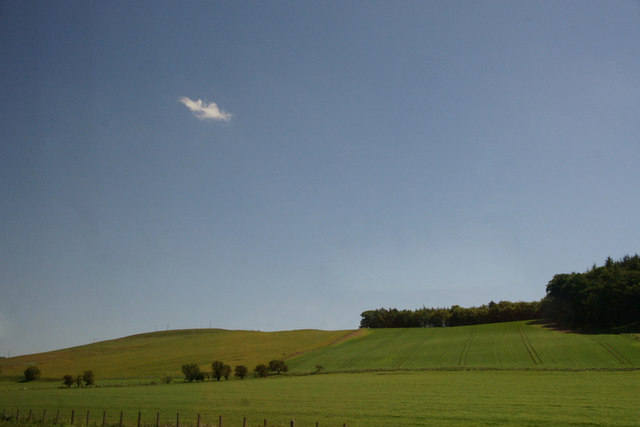
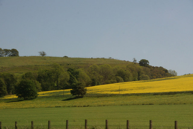
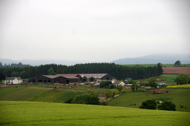
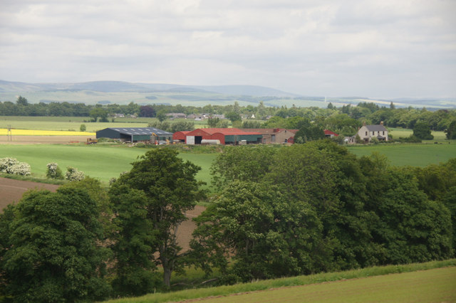
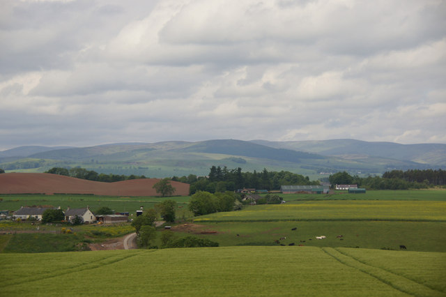
Carse Hill is a prominent hill located in Angus, Scotland. It is part of the Sidlaw Hills range, which runs along the southern edge of the Carse of Gowrie. The hill stands at an elevation of approximately 380 meters (1,247 feet) above sea level, offering breathtaking views of the surrounding countryside.

Carse Hill is a popular destination for outdoor enthusiasts, hikers, and nature lovers. Its well-defined paths and trails make it accessible for all skill levels. The summit provides panoramic views of the rolling hills, fertile farmland, and the nearby River Tay. On clear days, it is even possible to see as far as the distant peaks of the Grampian Mountains.

The hill is covered in a mix of heather, grasses, and scattered woodland, creating a diverse and picturesque landscape. The varied vegetation attracts a wide range of wildlife, including birds, deer, and small mammals.

Carse Hill is also of historical importance, with evidence of human settlement dating back thousands of years. The remains of ancient settlements and burial sites have been discovered in the area, offering insights into the region's past.

Overall, Carse Hill is a captivating natural landmark that showcases the beauty of Angus. With its stunning views, diverse flora and fauna, and rich history, it is a must-visit destination for those exploring the Scottish countryside.

If you have any feedback on the listing, please let us know in the comments section below.

Carse Hill Images

Images are sourced within 2km of 56.671565/-2.8838646 or Grid Reference NO4553. Thanks to Geograph Open Source API. All images are credited.

Carse Hill, north of Forfar
North side of Carse Hill
Trees along burn at Parkford, north of Forfar
Closing in on the Battledykes turnoff The photographer is above the pavement of the southbound travel lanes of the A90 road. Battledykes was an original Roman camp circa 200 AD.
Closing in on the Battledykes turnoff
The photographer is above the pavement of the southbound travel lanes of the A90 road. Battledykes was an original Roman camp circa 200 AD.
Over Bow A large field of oilseed rape.
Over Bow
A large field of oilseed rape.
View of King's Burn flowing southwards into the Lemno Burn The picture was taken from near the road bridge on the Wardmill to Battledykes Road, looking northwards.
View of King's Burn flowing southwards into the Lemno Burn
The picture was taken from near the road bridge on the Wardmill to Battledykes Road, looking northwards.
Autumnal Tree near Carsegray, Forfar Picture taken from the Forestmuir - Forfar road looking east towards Carsegray. Carsegray Lodge can be seen to the left of the Autumn coloured tree.
Autumnal Tree near Carsegray, Forfar
Picture taken from the Forestmuir - Forfar road looking east towards Carsegray. Carsegray Lodge can be seen to the left of the Autumn coloured tree.
Birkenbush farm, north of Forfar
Bogindollo farm, Oathlaw
Birkenbush, near Forfar With Battledykes in the background.
Birkenbush, near Forfar
With Battledykes in the background.
Fields at Suttieside, Forfar
Road to Baggerton, Lunanhead
Barn near Lunanhead
Barn near Lunanhead
Waterway looking east from B9128 The picture was taken from a small bridge about 300 yards north of North Mains farm road, Forfar.
Waterway looking east from B9128
The picture was taken from a small bridge about 300 yards north of North Mains farm road, Forfar.
Combine harvesting at North Mains Farm, Forfar Lovely day - combining the crop is so productive - a pleasure to witness.
Combine harvesting at North Mains Farm, Forfar
Lovely day - combining the crop is so productive - a pleasure to witness.
Ploughing at Heatherstacks Farm, Forfar I was intrigued by the John Deere tractor and 5 furrow reversible plough and decided to take the picture with the farm in the background.
Ploughing at Heatherstacks Farm, Forfar
I was intrigued by the John Deere tractor and 5 furrow reversible plough and decided to take the picture with the farm in the background.
Show me another place!

Carse Hill is located at Grid Ref: NO4553 (Lat: 56.671565, Lng: -2.8838646)

Unitary Authority: Angus

Police Authority: Tayside

What 3 Words

///roadshow.choppy.deflection. Near Forfar, Angus

Nearby Locations

Carse Hill

Related Wikis

Angus, Scotland

Angus (Scots: Angus; Scottish Gaelic: Aonghas) is one of the 32 local government council areas of Scotland, a registration county and a lieutenancy area...

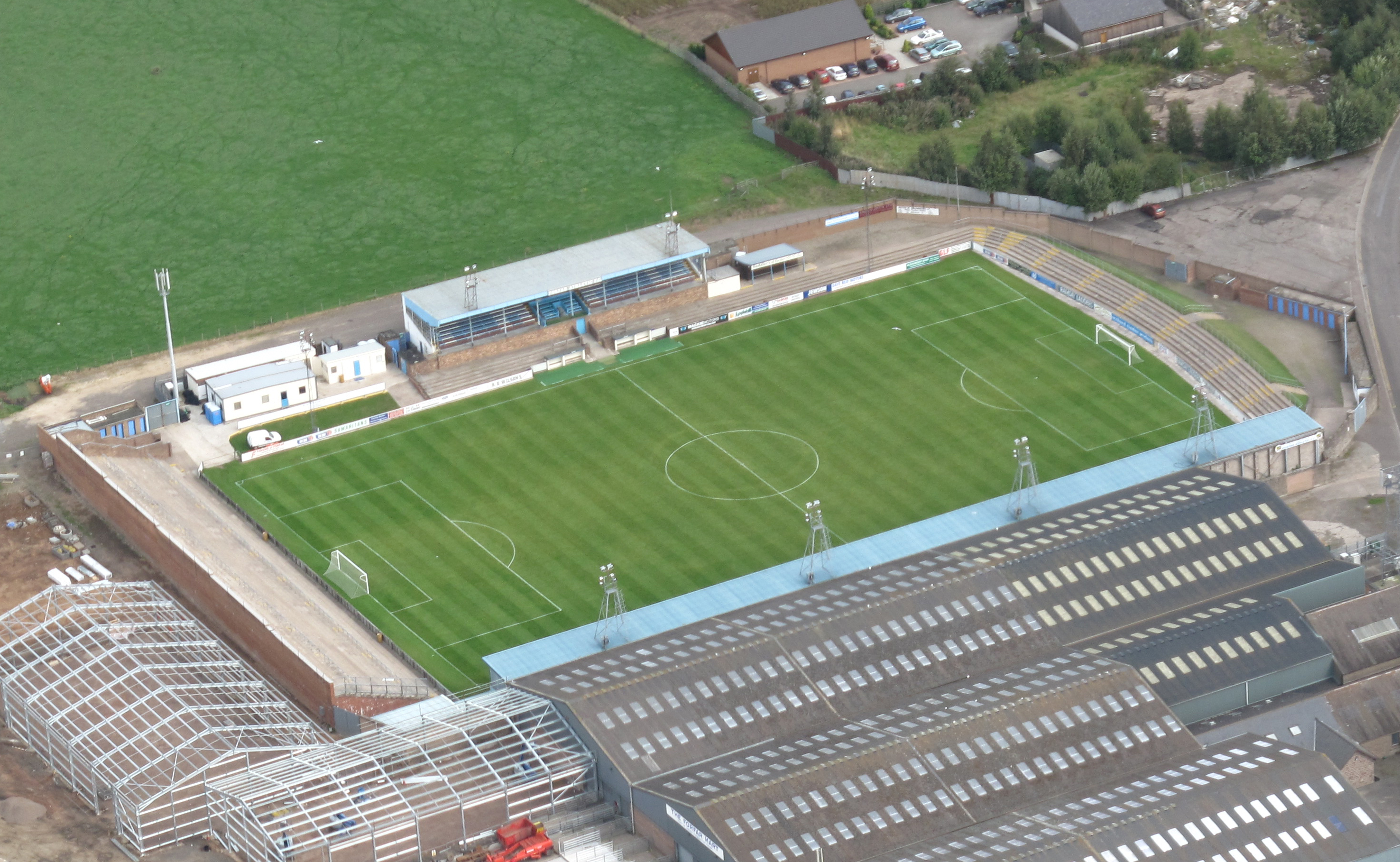
Station Park, Forfar

Station Park is a football ground in Forfar, Angus, Scotland. It is home to Scottish Professional Football League side Forfar Athletic and to Forfar Farmington...

Forfar Academy

Forfar Academy is a comprehensive school serving the community in and around the market town of Forfar, Angus, Scotland. In 2019, Forfar Academy was ranked...

Battledykes

Battledykes is a Roman camp slightly to the north of Forfar, Scotland. According to Hector Boece, Pictish chiefs met at a castle by Forfar Loch to plan...

Nearby Amenities

Located within 500m of 56.671565,-2.8838646
Cotton of Carse
Place: isolated_dwelling
Lat/Long: 56.668297/-2.8889486
Carse Hill
Ele: 150
Natural: peak
Lat/Long: 56.6714133/-2.8845753
Carse Gray Stone Circle
Historic: archaeological_site
Historic Civilization: celtic
Lat/Long: 56.6735471/-2.8789936
Power: pole
Lat/Long: 56.6685177/-2.8895221
The data included in this document is from www.openstreetmap.org. The data is made available under ODbL.

Have you been to Carse Hill?

Leave your review of Carse Hill below (or comments, questions and feedback).