Carrot Hill
Hill, Mountain in Angus
Scotland
Carrot Hill
Carrot Hill is a prominent hill located in the county of Angus, Scotland. Rising to an elevation of 365 meters (1,198 feet), it is often referred to as Carrot Hill due to its distinctive shape resembling a carrot when viewed from certain angles.
Situated approximately 8 kilometers (5 miles) northeast of the town of Kirriemuir, Carrot Hill is part of the Angus Glens, a range of hills and mountains that form a natural boundary between Angus and the neighboring counties of Aberdeenshire and Perthshire.
Carrot Hill offers breathtaking panoramic views of the surrounding landscape, including the picturesque Strathmore Valley, the Grampian Mountains, and the nearby hills of the Angus Glens. On clear days, it is even possible to see as far as the North Sea coastline from the summit.
The hill is a popular destination for hikers, nature enthusiasts, and outdoor adventurers. Several walking trails lead to the summit, providing visitors with an opportunity to explore the diverse flora and fauna of the area. The ascent can be challenging, particularly in inclement weather, so proper hiking gear and precautions are recommended.
Carrot Hill is also known for its historical significance, with traces of ancient settlements and burial sites discovered in the surrounding area. These archaeological findings provide insights into the early human habitation of the region and attract researchers and historians interested in the area's past.
Overall, Carrot Hill is a remarkable natural landmark offering stunning views, outdoor recreational opportunities, and a glimpse into the rich history of Angus, Scotland.
If you have any feedback on the listing, please let us know in the comments section below.
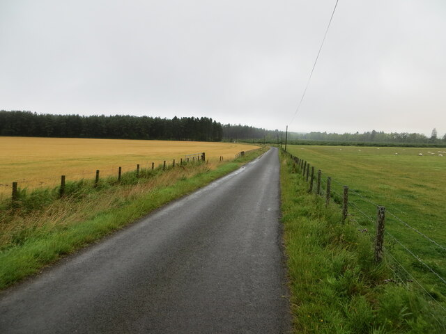
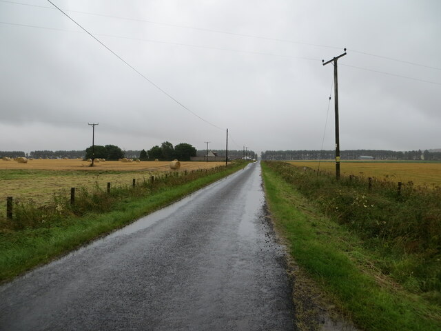
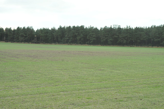
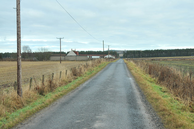
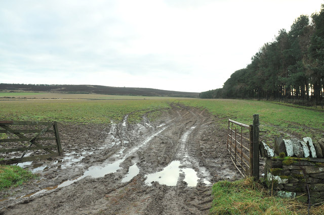
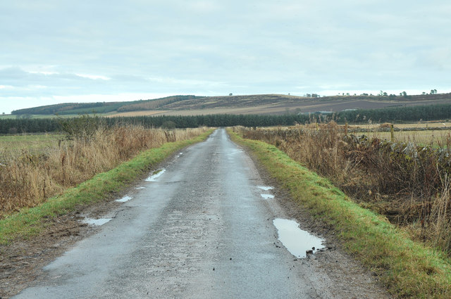
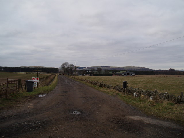
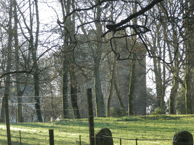
Carrot Hill Images
Images are sourced within 2km of 56.550618/-2.8815148 or Grid Reference NO4540. Thanks to Geograph Open Source API. All images are credited.


Carrot Hill is located at Grid Ref: NO4540 (Lat: 56.550618, Lng: -2.8815148)
Unitary Authority: Angus
Police Authority: Tayside
What 3 Words
///memo.grasp.propose. Near Monifieth, Angus
Nearby Locations
Related Wikis

Gallowfauld
Gallowfauld is a hamlet in the county of Angus, Scotland. It lies 3.8 miles (6.1 km) south of Inverarity, Angus, Scotland. == References ==
Wellbank
Wellbank is a village in Angus, Scotland. It lies approximately three miles north of Dundee, on the B978 road. == Local Bus Services in the Area == Based...
Affleck Castle
Affleck Castle, also known as Auchenleck Castle, is a tall L-plan tower house dating from the 15th century, 4 miles (6.4 km) north of Monifieth and 1 mile...
Gagie railway station
Gagie Halt railway station was a railway halt in Scotland, on the Dundee and Forfar direct line, built by the London, Midland and Scottish Railway. It...
Nearby Amenities
Located within 500m of 56.550618,-2.8815148Have you been to Carrot Hill?
Leave your review of Carrot Hill below (or comments, questions and feedback).