Ickleford

Settlement in Hertfordshire North Hertfordshire

England

Ickleford

Sunflowers at Hitchin Lavender Farm Very good display of sunflowers.
Sunflowers at Hitchin Lavender Farm Credit: Christine Matthews

Ickleford is a small village located in Hertfordshire, England. Situated approximately two miles to the west of Hitchin, it is nestled in the picturesque Icknield Way countryside. With a population of around 3,000 residents, Ickleford has a close-knit community atmosphere.

The village boasts a rich history, dating back to the Saxon period. It is mentioned in the Domesday Book of 1086, where it is recorded as "Iceneberde." The name Ickleford is believed to derive from the Old English words "Icen" meaning "Iceni tribe" and "ford" indicating a river crossing.

One of the notable landmarks in Ickleford is the All Saints Church, a Grade I listed building that dates back to the 14th century. The church is known for its stunning historical features, including a Norman font and a medieval wall painting depicting St. Christopher.

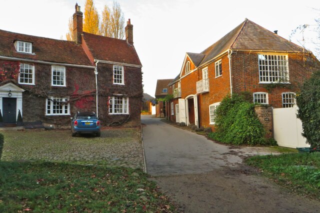
Ickleford also offers a range of amenities to its residents. The village has a primary school, a community hall, and a local pub, The Plume of Feathers, which is popular among locals and visitors alike. Additionally, the village hosts various community events throughout the year, including a summer fete and a fireworks display.

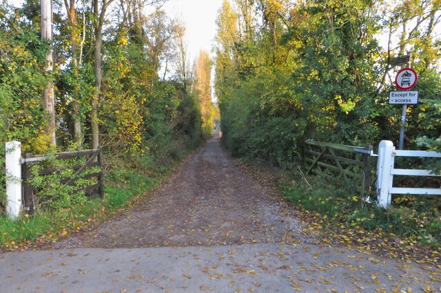
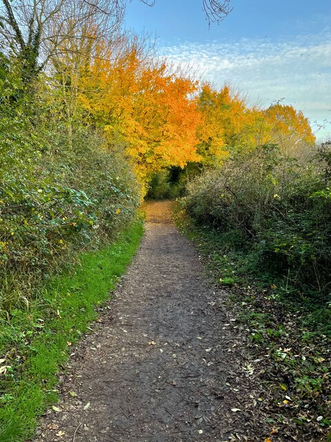
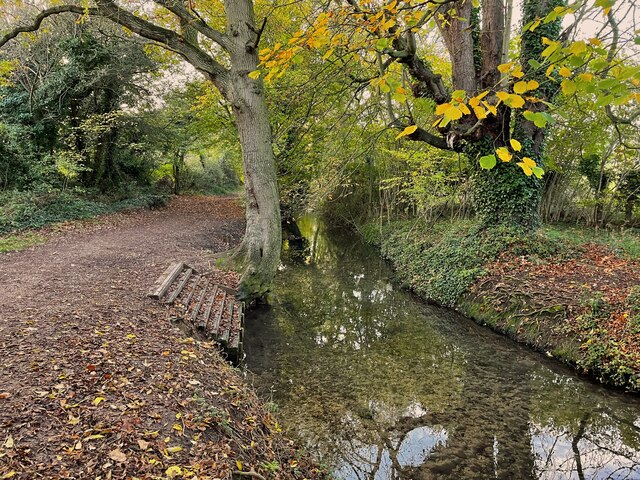
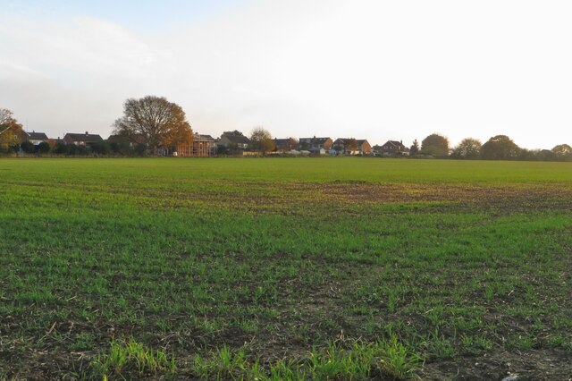
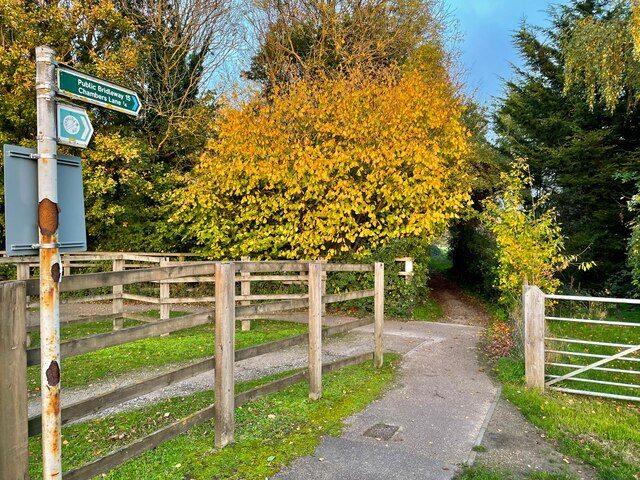
The surrounding countryside provides opportunities for outdoor activities, with several footpaths and bridleways leading to nearby nature reserves and woodlands. The village is also conveniently located near the larger town of Hitchin, where residents can access a wider range of services and amenities.

In summary, Ickleford is a charming village steeped in history and surrounded by beautiful countryside. With its strong sense of community and range of amenities, it offers a peaceful and idyllic place to live.

If you have any feedback on the listing, please let us know in the comments section below.
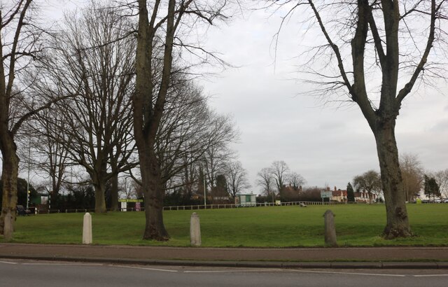
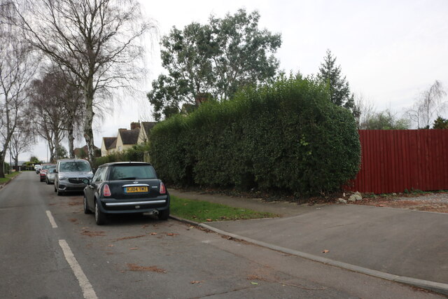
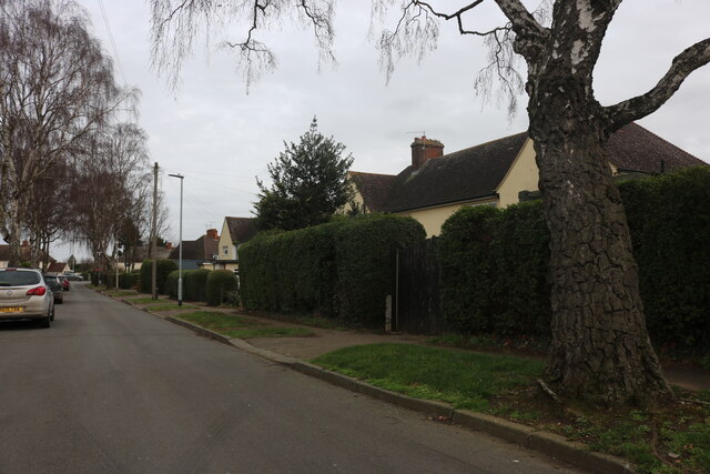
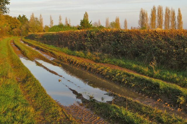
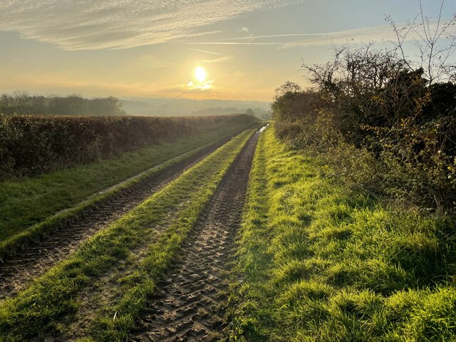
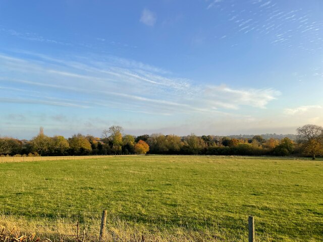
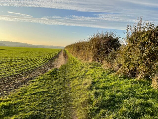
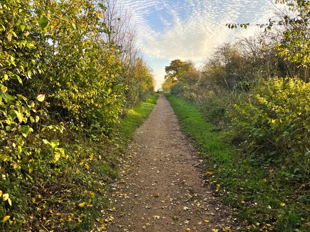
Ickleford Images

Images are sourced within 2km of 51.970274/-0.27985 or Grid Reference TL1831. Thanks to Geograph Open Source API. All images are credited.

Sunflowers at Hitchin Lavender Farm Very good display of sunflowers.
Sunflowers at Hitchin Lavender Farm
Very good display of sunflowers.
Sunflowers at Hitchin Lavender Farm Very good display of sunflowers.
Sunflowers at Hitchin Lavender Farm
Very good display of sunflowers.
Park by Bedford Road, Hitchin Hitchin Town FC is opposite
Park by Bedford Road, Hitchin
Hitchin Town FC is opposite
Ryder Avenue, Ickleford
Cadwell Farm Lavender Fields All kinds lavender are grown at this farm.
Cadwell Farm Lavender Fields
All kinds lavender are grown at this farm.
A sodden Icknield Way
Icknield Way sundown
Trees by the River Oughton
Footpath to Pirton
Footpath to Pirton
Mill Way going south
Bridleway to Lordship Farm
Footpath down to River Oughton
The Coach House at Westmill Farm
Autumn trees on the footpath by River Oughton
Steps into River Oughton
Field on the edge of Westmill
Bridleway to Chambers Lane
Show me another place!

Ickleford is located at Grid Ref: TL1831 (Lat: 51.970274, Lng: -0.27985)

Administrative County: Hertfordshire

District: North Hertfordshire

Police Authority: Hertfordshire

What 3 Words

///bunks.smaller.calibrate. Near Hitchin, Hertfordshire

Nearby Locations

Ickleford Gerry's Hole

Related Wikis

Church of St Katharine, Ickleford

The Church of St Katharine of Alexandria is the Church of England parish church for Ickleford in Hertfordshire. It comes under the diocese of St Albans...

Ickleford

Ickleford is a large village situated on the northern outskirts of Hitchin in North Hertfordshire in England. It lies on the west bank of the River Hiz...

River Oughton

The River Oughton is a two mile long tributary of the River Hiz in Hitchin, Hertfordshire. It rises at Oughtonhead and flows north-east between Oughtonhead...

Hitchin Flyover

The Hitchin Flyover is a grade-separated single-track railway viaduct near Hitchin, Hertfordshire, England, which carries the Down Cambridge Flyover line...

Nearby Amenities

Located within 500m of 51.970274,-0.27985
Mini Roundabout
Direction: clockwise
Lat/Long: 51.9699209/-0.2801635
Ickleford
Note: Population from uncited Wikipedia article
Place: village
Population: 1848
Wikidata: Q2341030
Lat/Long: 51.9710198/-0.2800954
Fixme: Can't interpret GPS trace - is there a side road here ?
Lat/Long: 51.9676302/-0.2791992
Green Man
Fixme: Green Man pub has been demolished and housing built on pub and former car park.
Lat/Long: 51.9699733/-0.2802386
Bus Stop
St Katharine's Church
Bench: yes
Bin: yes
Bus: yes
Lit: yes
Naptan AtcoCode: 210021108580
Naptan Bearing: SW
Naptan CommonName: St Katharine's Church
Naptan Indicator: opp
Naptan Landmark: Unknown
Naptan NaptanCode: hrtgjamp
Naptan PlusbusZoneRef: HITCHIN
Naptan ShortCommonName: NA
Naptan Street: Arlesey Road
Naptan Verified: no
Public Transport: platform
Shelter: yes
Source: naptan_import
Tactile Paving: yes
Lat/Long: 51.9709264/-0.2791065
Bus Stop
St Katharine's Church
Bench: yes
Bin: yes
Bus: yes
Lit: yes
Naptan AtcoCode: 210021111040
Naptan Bearing: NE
Naptan CommonName: St Katharine's Church
Naptan Crossing: Chambers Lane
Naptan Indicator: o/s
Naptan Landmark: Chambers Lane
Naptan NaptanCode: hrtgdpgt
Naptan PlusbusZoneRef: HITCHIN
Naptan ShortCommonName: NA
Naptan Street: Arlesey Road
Naptan Verified: no
Public Transport: platform
Shelter: yes
Source: naptan_import
Tactile Paving: yes
Lat/Long: 51.970968/-0.2793186
Barrier: kissing_gate
Foot: yes
Lat/Long: 51.9727022/-0.2740493
Post Box
Collection Times: Mo-Fr 17:00; Sa 11:00
Post Box Type: lamp
Ref: SG5 75
Royal Cypher: EIIR
Royal Cypher Wikidata: Q33102113
Lat/Long: 51.9736/-0.2763
Post Box
Collection Times: Mo-Fr 17:00; Sa 11:00
Post Box Type: pillar
Ref: SG5 71
Royal Cypher: EIIR
Royal Cypher Wikidata: Q33102113
Lat/Long: 51.9705/-0.2796
Noexit: yes
Lat/Long: 51.9697378/-0.2807454
Barrier: cycle_barrier
Lat/Long: 51.9707821/-0.2805175
Fixme: Limit of survey
Lat/Long: 51.970733/-0.2840328
Post Box
Collection Times: Mo-Fr 16:45; Sa 11:00
Note: This postbox recently moved from south to north of Cedar Ave. Now opposite the location of the closed down and converted post office.
Post Box Type: pillar
Ref: SG5 73
Royal Cypher: EIIR
Royal Cypher Wikidata: Q33102113
Source Location: local_knowledge
Lat/Long: 51.9707734/-0.282456
Fixme: Limit of Survey
Lat/Long: 51.9716567/-0.2833322
Fixme: Limit of Survey
Lat/Long: 51.9686984/-0.2842211
Fixme: Limit of Survey
Lat/Long: 51.9696623/-0.2841176
Fixme: Limit of Survey
Lat/Long: 51.9703497/-0.2842379
Fire Hydrant
Emergency: fire_hydrant
Lat/Long: 51.9681322/-0.2842669
Fixme: Limit of Survey
Lat/Long: 51.9699071/-0.2843362
Ickleford Stores
Addr City: Hitchin
Addr County: Hertfordshire
Addr Housename: Ickleford Stores
Addr Housenumber: 54
Addr Postcode: SG5 3UU
Addr Street: Arlesey Road
Addr Suburb: Ickleford
Fhrs Id: 961030
Shop: convenience
Source Addr: FHRS Open Data
Lat/Long: 51.9704935/-0.2794166
Crossing
Crossing: marked
Crossing Island: no
Source: observation
Tactile Paving: yes
Lat/Long: 51.9712239/-0.2789052
Gerry's Hole
Board Type: nature
Information: board
Tourism: information
Lat/Long: 51.9710782/-0.2751031
Pub
The Old George
Addr City: Hitchin
Addr Country: GB
Addr County: Hertfordshire
Addr Postcode: SG5 3UX
Addr Street: Arlesey Road
Addr Suburb: Ickleford
Addr Village: Ickleford
Fhrs Id: 1350150
Wikidata: Q26630567
Lat/Long: 51.9701512/-0.2803332
Hamiltons
Shop: hairdresser
Lat/Long: 51.9700596/-0.2802194
Barrier: kissing_gate
Foot: yes
Lat/Long: 51.9712928/-0.2748061
Barrier: kissing_gate
Foot: yes
Lat/Long: 51.9739294/-0.2772233
Noexit: yes
Lat/Long: 51.9715969/-0.2775041
Public Bookcase
Ickleford Telephone Box Book Exchange
Booth: K6
Man Made: telephone_box
Public Bookcase Type: phone_box
Lat/Long: 51.9712798/-0.2796944
Entrance: yes
Lat/Long: 51.9718299/-0.2777409
Defibrillator
Defibrillator Location: by entrance to Ickleford Villlage Hall
Emergency: defibrillator
Indoor: no
Lat/Long: 51.9718169/-0.2777466
Turning Circle
Lat/Long: 51.9689319/-0.2861056
Information: board
Tourism: information
Lat/Long: 51.971474/-0.2788046
Man Made: village_sign
Lat/Long: 51.9713109/-0.2789447
Bench
Backrest: yes
Lat/Long: 51.9727743/-0.2822167
Bench
Backrest: yes
Lat/Long: 51.9726223/-0.2823414
Bench
Backrest: yes
Lat/Long: 51.9724033/-0.2826311
Power: pole
Lat/Long: 51.971711/-0.2754253
Material: wood
Power: pole
Lat/Long: 51.9715309/-0.2734083
Colour: red and white
Marker: aerial
Material: plastic
Utility: gas
Lat/Long: 51.9663965/-0.2789947
Colour: yellow
Inscription: GAS PIPELINE
Marker: post
Material: plastic
Utility: gas
Lat/Long: 51.9663944/-0.2790268
Colour: yellow
Marker: post
Material: plastic
Utility: gas
Lat/Long: 51.966391/-0.2791348
Street Lamp
Lat/Long: 51.9663864/-0.2791319
Colour: yellow
Marker: post
Material: plastic
Utility: gas
Lat/Long: 51.9663957/-0.2791352
The data included in this document is from www.openstreetmap.org. The data is made available under ODbL.

Have you been to Ickleford?

Leave your review of Ickleford below (or comments, questions and feedback).