Soulby Fell
Hill, Mountain in Cumberland Eden
England
Soulby Fell
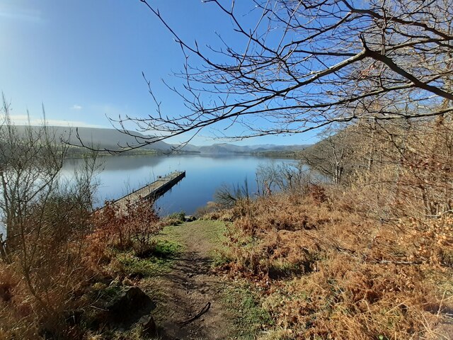
Soulby Fell is a prominent hill located in the county of Cumberland, England. It is part of the Lake District National Park and is situated near the village of Soulby. Rising to a height of approximately 1,660 feet (506 meters), it is classified as a fell or a mountain depending on the definition used.
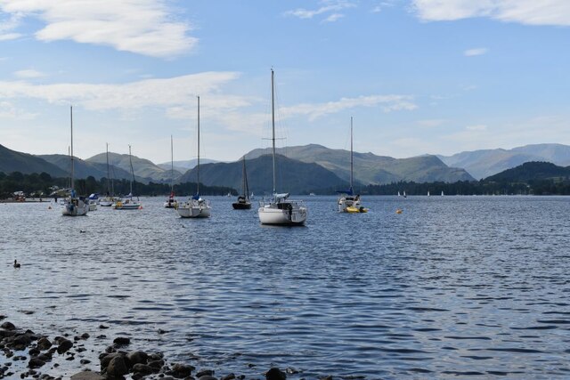
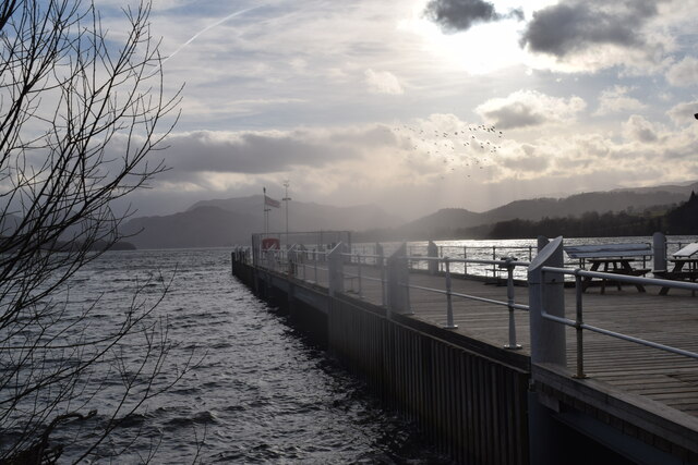
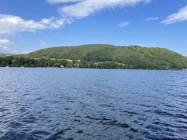
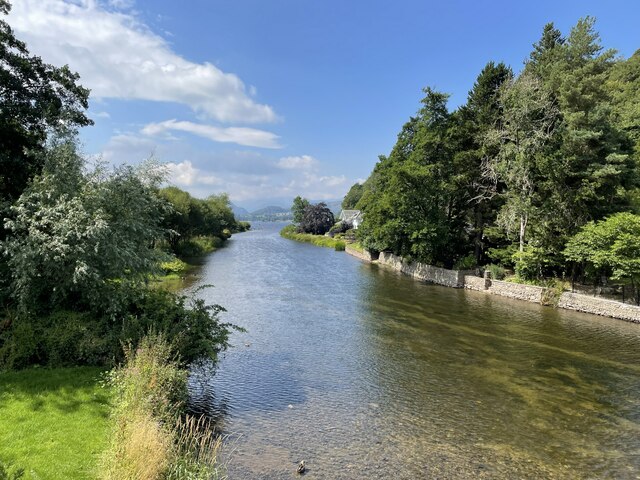
The hill offers breathtaking panoramic views of the surrounding countryside, making it a popular destination for hikers and nature enthusiasts. Its location within the Lake District National Park means that it is surrounded by stunning natural beauty, including rolling hills, lush green valleys, and picturesque lakes.
Soulby Fell is known for its diverse flora and fauna, with various plant species and wildlife inhabiting its slopes. It boasts a rich biodiversity, with heather moorland, grassy slopes, and rocky outcrops. The hill is also home to several bird species, including peregrine falcons and red grouse, making it a haven for birdwatchers.
The terrain of Soulby Fell is relatively challenging, with steep gradients and uneven pathways. However, there are well-defined footpaths and trails that allow visitors to explore and navigate the hill safely. Its proximity to other famous landmarks in the Lake District, such as Ullswater and Helvellyn, makes it an appealing choice for those looking to combine multiple outdoor activities or create a longer hiking itinerary.
Overall, Soulby Fell is a remarkable natural feature within the Lake District National Park, offering visitors a chance to immerse themselves in the stunning landscapes and abundant wildlife that the region is renowned for.
If you have any feedback on the listing, please let us know in the comments section below.
Soulby Fell Images
Images are sourced within 2km of 54.615183/-2.8438608 or Grid Reference NY4524. Thanks to Geograph Open Source API. All images are credited.


Soulby Fell is located at Grid Ref: NY4524 (Lat: 54.615183, Lng: -2.8438608)
Administrative County: Cumbria
District: Eden
Police Authority: Cumbria
What 3 Words
///structure.giant.sliders. Near Penrith, Cumbria
Nearby Locations
Related Wikis
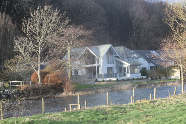
Soulby, Dacre
Soulby is a hamlet in the civil parish of Dacre, near the villages of Dacre and Pooley Bridge and the A592 road, in the Eden district, in the English county...

Dunmallet
Dunmallet or Dunmallard Hill is a small hill in the English Lake District, near Pooley Bridge, Cumbria. It is the subject of a chapter of Wainwright's...
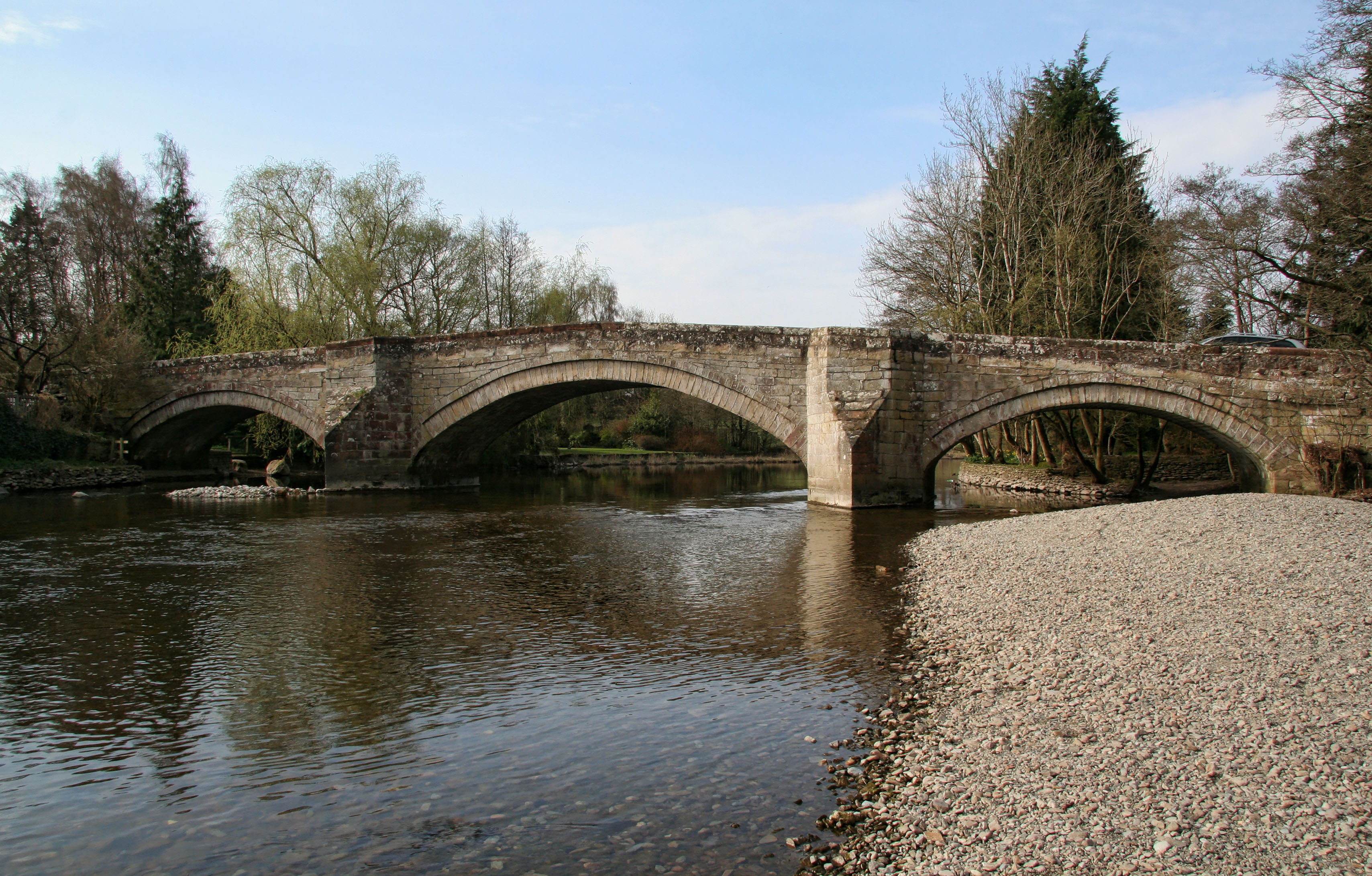
Pooley Bridge (structure)
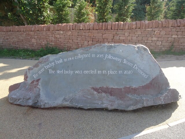
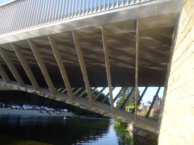
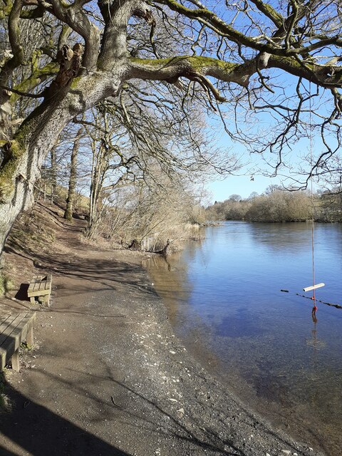
Pooley Bridge was an historic stone road bridge that crossed the River Eamont in the village of Pooley Bridge near the northern end of Ullswater. It connected...

Pooley Bridge
Pooley Bridge is a village in the Eden District of the northwestern English county of Cumbria, within the traditional borders of Westmorland. The village...

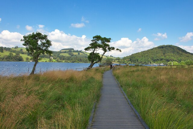
Ullswater Way
The Ullswater Way is a 20-mile (32 km) waymarked walking route around Ullswater in the English Lake District. It was created by a partnership which included...

Dacre, Cumbria
Dacre (English: ) is a small village, civil parish and electoral ward in the Lake District National Park in the Eden District of Cumbria, England, and...

Dacre Castle
Dacre Castle is a moated tower house in the village of Dacre, 4 miles (6.4 km) south-west of Penrith, Cumbria, England. It was constructed in the mid-14th...

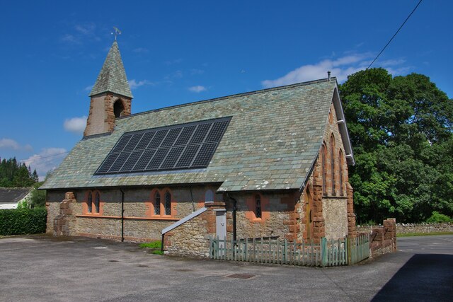
St Andrew's Church, Dacre
St Andrew's Church is in the village of Dacre, Cumbria, England. It is an active Anglican parish church in the deanery of Penrith, the archdeaconry of...
Nearby Amenities
Located within 500m of 54.615183,-2.8438608Have you been to Soulby Fell?
Leave your review of Soulby Fell below (or comments, questions and feedback).