Broadhaugh Hill
Hill, Mountain in Roxburghshire
Scotland
Broadhaugh Hill

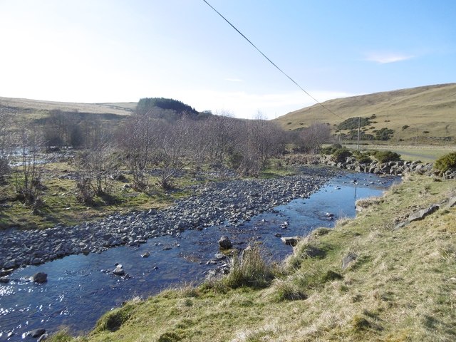
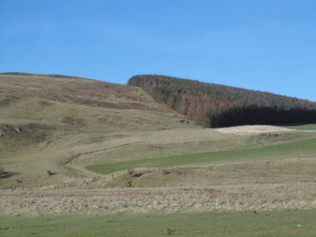
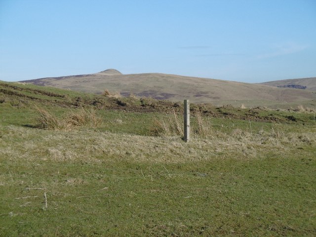
Broadhaugh Hill is a prominent hill located in Roxburghshire, Scotland. Situated in the southern part of the country, it is part of the larger Southern Uplands region. Standing at an elevation of approximately 379 meters (1243 feet), it offers commanding views of the surrounding countryside and is a popular destination for hikers and nature enthusiasts.
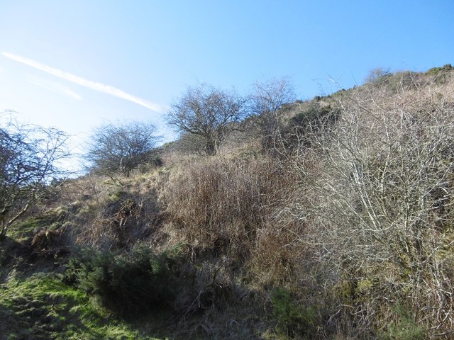
The hill is characterized by its gently sloping sides, covered in a patchwork of heather, grass, and scattered trees. This diverse vegetation provides habitat for a variety of wildlife, including birds, small mammals, and insects. The hill's summit offers a panoramic vista, allowing visitors to admire the picturesque landscapes that stretch out in all directions.
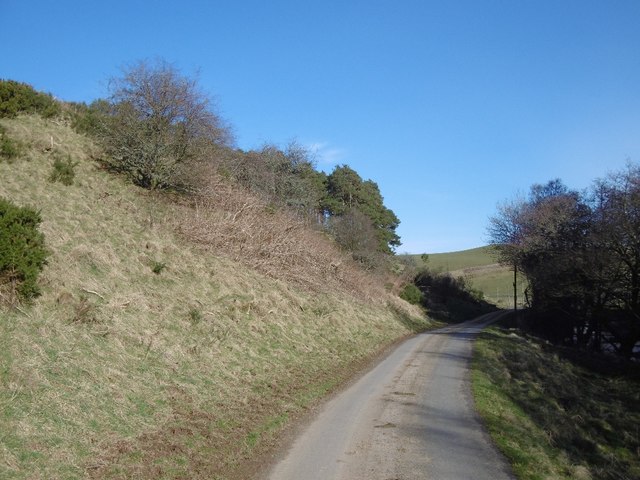
Broadhaugh Hill is easily accessible, with several well-maintained paths leading to its summit. These paths wind through a mixture of open moorland and wooded areas, providing a pleasant and varied walking experience. Additionally, the hill is located near the village of Ancrum, which is home to a range of amenities such as shops, cafes, and accommodation options.
Due to its relatively modest height, Broadhaugh Hill is an accessible destination for hikers of all abilities. Its gentle slopes make it an ideal location for leisurely walks or family outings, while more experienced walkers can explore the surrounding area and nearby hills. Whether visitors are seeking a peaceful nature escape or simply want to enjoy breathtaking views, Broadhaugh Hill offers a delightful experience for all who venture to its summit.
If you have any feedback on the listing, please let us know in the comments section below.
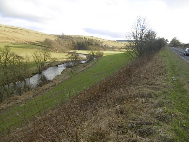
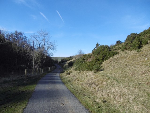
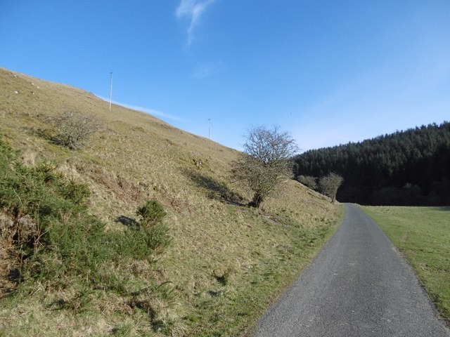
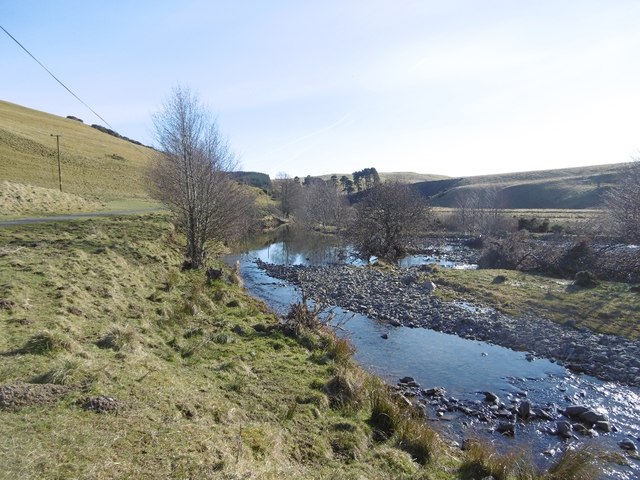
Broadhaugh Hill Images
Images are sourced within 2km of 55.366112/-2.8607168 or Grid Reference NT4508. Thanks to Geograph Open Source API. All images are credited.


Broadhaugh Hill is located at Grid Ref: NT4508 (Lat: 55.366112, Lng: -2.8607168)
Unitary Authority: The Scottish Borders
Police Authority: The Lothians and Scottish Borders
What 3 Words
///streamers.nozzle.packages. Near Teviothead, Scottish Borders
Nearby Locations
Related Wikis

Broadhaugh
Broadhaugh is a hamlet in the Scottish Borders area of Scotland, in the parish of Teviothead, in former Roxburghshire. == See also == List of places in...

Newmill-on-Teviot
Newmill-on-Teviot, commonly called Newmill, is a hamlet in the Scottish Borders, 7 kilometres (4.3 mi) south of Hawick on the River Teviot. The remains...

Branxholme
Branxholme is a hamlet in the Scottish Borders area of Scotland, overlooking the River Teviot, three miles southwest of Hawick, on the A7 road to Langholm...

Branxholme Castle
Branxholme Castle is a five-storey tower at Branxholme, about 3 miles south-west of Hawick in the Borders region of Scotland. == History == The present...

Stobs Military Camp
Stobs Camp is a military and internment camp located just outside Hawick in the Scottish Borders. It is an internationally important site due to its level...

Stobs railway station
Stobs railway station served the hamlet of Barnes, Scottish Borders, Scotland from 1862 to 1969 on the Border Union Railway. == History == The station...

Teviothead
Teviothead (Scottish Gaelic: Ceann Tìbhiot) is a small village and civil parish in Teviotdale in the Scottish Borders, known locally as Teviotheid. It...

Borthwick Water
The Borthwick Water (Border Scots: Borthwick Witter) is a river in the Scottish Borders area of Scotland, and a tributary of the River Teviot. The Aithouse...
Nearby Amenities
Located within 500m of 55.366112,-2.8607168Have you been to Broadhaugh Hill?
Leave your review of Broadhaugh Hill below (or comments, questions and feedback).