Blackcleuch Loch
Lake, Pool, Pond, Freshwater Marsh in Roxburghshire
Scotland
Blackcleuch Loch

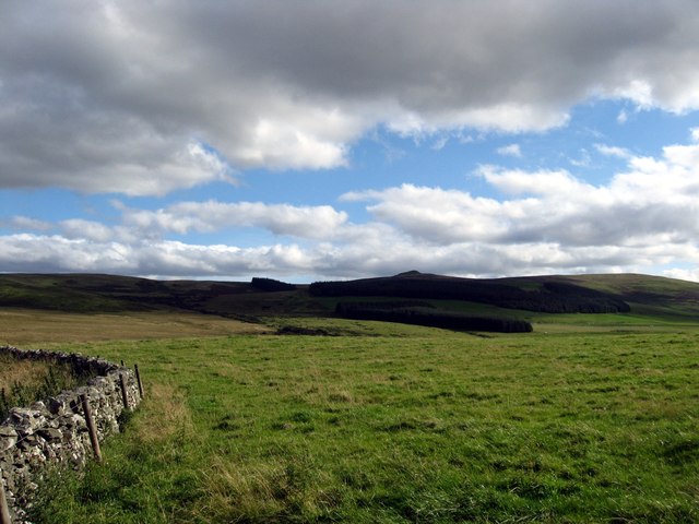
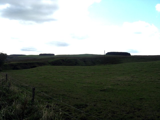
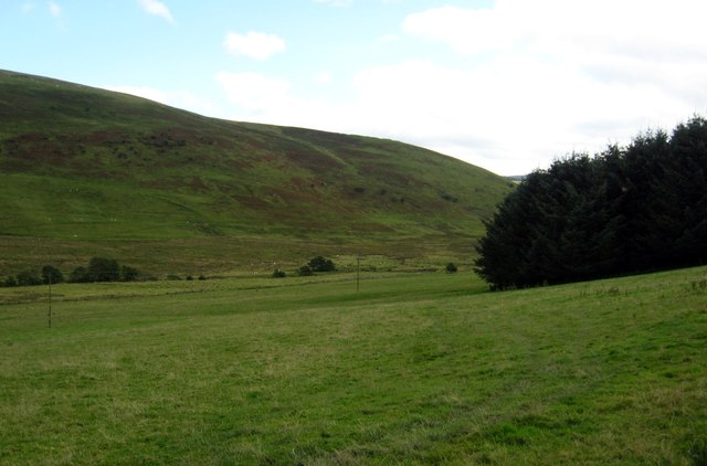
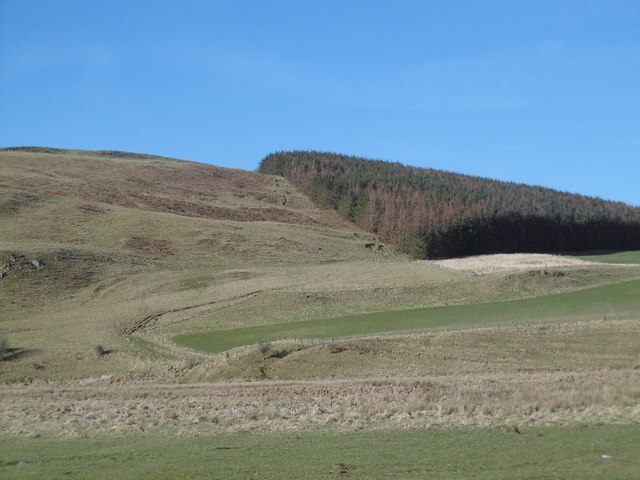
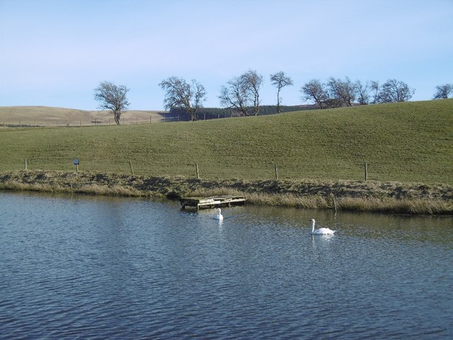
Blackcleuch Loch is a picturesque freshwater loch located in Roxburghshire, Scotland. Nestled in the heart of the Scottish Borders, this enchanting body of water covers an area of approximately 20 hectares. Surrounded by rolling hills and lush greenery, the loch is a haven for nature enthusiasts and offers a tranquil escape from the hustle and bustle of everyday life.
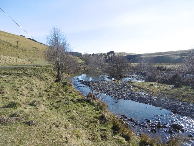
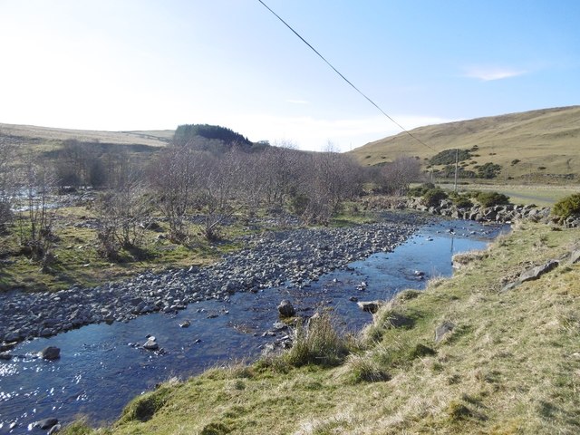
The loch is fed by several small streams that meander through the surrounding moorland, ensuring a constant flow of fresh water. The water itself is crystal clear and teeming with a diverse range of aquatic plants and wildlife. Visitors can expect to see an array of waterfowl, including ducks, swans, and geese, gracefully gliding across the surface of the loch.
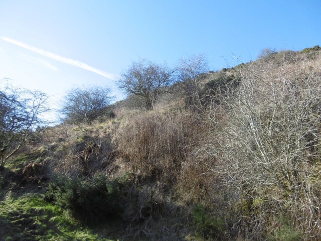
The surrounding marshland is a designated nature reserve, providing a breeding ground and sanctuary for a wide variety of bird species. Rare and endangered birds such as the Eurasian curlew and the redshank can often be spotted in this area, making it a popular destination for birdwatchers.
Blackcleuch Loch also offers excellent fishing opportunities. Anglers can try their luck at catching brown trout, which are abundant in the loch. The peaceful atmosphere and stunning scenery make it an ideal spot for both novice and experienced anglers.
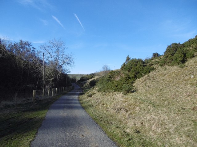
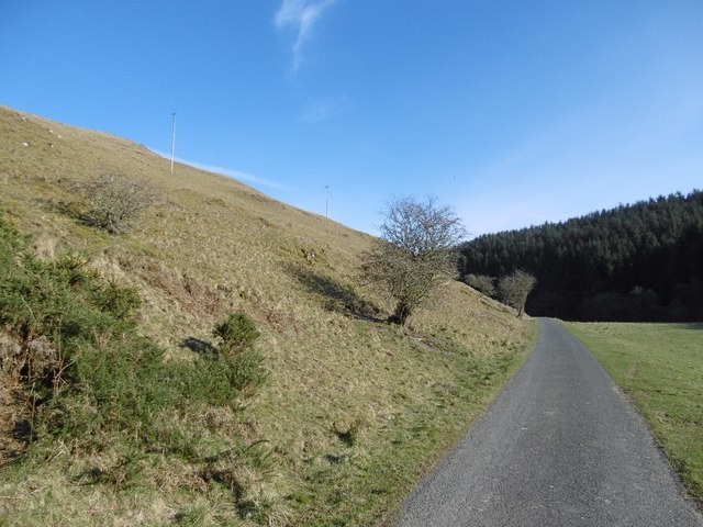
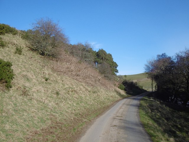
For those who prefer to stay on land, there are several walking trails that wind their way around the loch, allowing visitors to fully immerse themselves in the natural beauty of the area. Whether it's a leisurely stroll or a more challenging hike, there is something for everyone to enjoy at Blackcleuch Loch.
If you have any feedback on the listing, please let us know in the comments section below.
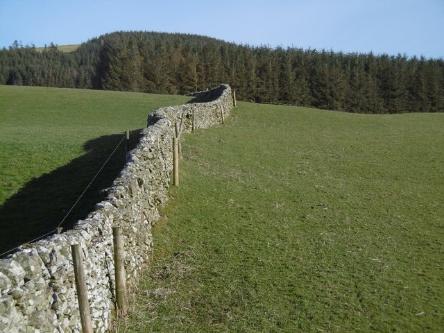
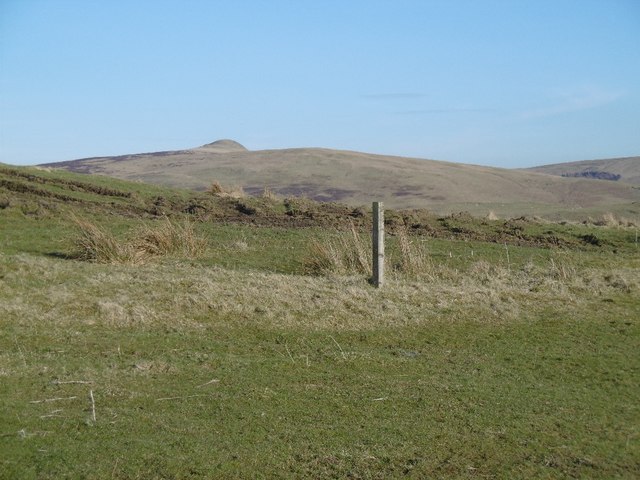
Blackcleuch Loch Images
Images are sourced within 2km of 55.363709/-2.8549222 or Grid Reference NT4508. Thanks to Geograph Open Source API. All images are credited.


Blackcleuch Loch is located at Grid Ref: NT4508 (Lat: 55.363709, Lng: -2.8549222)
Unitary Authority: The Scottish Borders
Police Authority: The Lothians and Scottish Borders
What 3 Words
///alien.seat.haircuts. Near Teviothead, Scottish Borders
Nearby Locations
Related Wikis

Broadhaugh
Broadhaugh is a hamlet in the Scottish Borders area of Scotland, in the parish of Teviothead, in former Roxburghshire. == See also == List of places in...

Newmill-on-Teviot
Newmill-on-Teviot, commonly called Newmill, is a hamlet in the Scottish Borders, 7 kilometres (4.3 mi) south of Hawick on the River Teviot. The remains...

Branxholme
Branxholme is a hamlet in the Scottish Borders area of Scotland, overlooking the River Teviot, three miles southwest of Hawick, on the A7 road to Langholm...

Branxholme Castle
Branxholme Castle is a five-storey tower at Branxholme, about 3 miles south-west of Hawick in the Borders region of Scotland. == History == The present...

Stobs Military Camp
Stobs Camp is a military and internment camp located just outside Hawick in the Scottish Borders. It is an internationally important site due to its level...

Stobs railway station
Stobs railway station served the hamlet of Barnes, Scottish Borders, Scotland from 1862 to 1969 on the Border Union Railway. == History == The station...

Teviothead
Teviothead (Scottish Gaelic: Ceann Tìbhiot) is a small village and civil parish in Teviotdale in the Scottish Borders, known locally as Teviotheid. It...

Borthwick Water
The Borthwick Water (Border Scots: Borthwick Witter) is a river in the Scottish Borders area of Scotland, and a tributary of the River Teviot. The Aithouse...
Nearby Amenities
Located within 500m of 55.363709,-2.8549222Have you been to Blackcleuch Loch?
Leave your review of Blackcleuch Loch below (or comments, questions and feedback).