Ballochbuie Hill
Hill, Mountain in Aberdeenshire
Scotland
Ballochbuie Hill
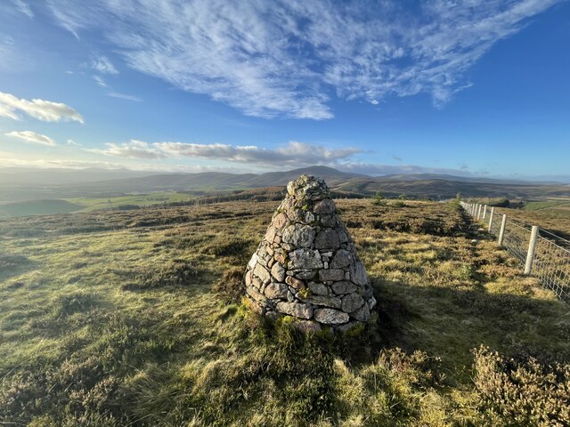
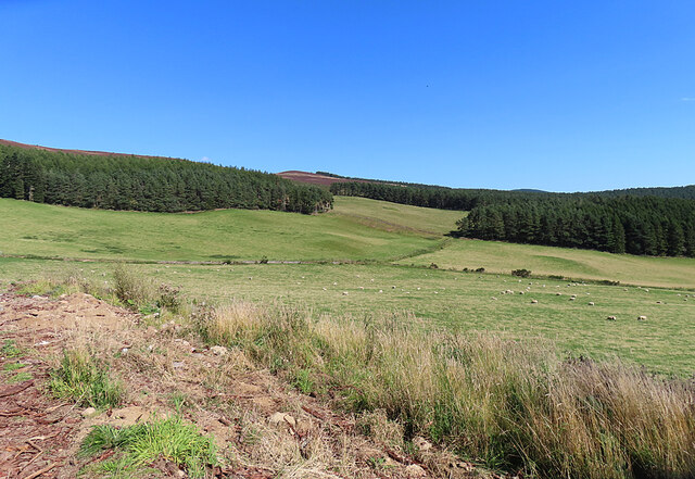
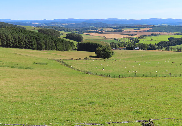
Ballochbuie Hill is a prominent natural landmark located in Aberdeenshire, Scotland. It stands at an elevation of approximately 1,943 feet (592 meters) and is part of the larger Cairngorms range. The hill is situated within the Ballochbuie Forest, which covers an area of about 4,000 acres.
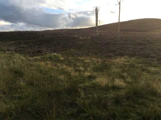
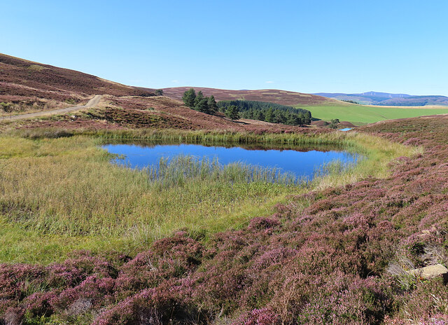
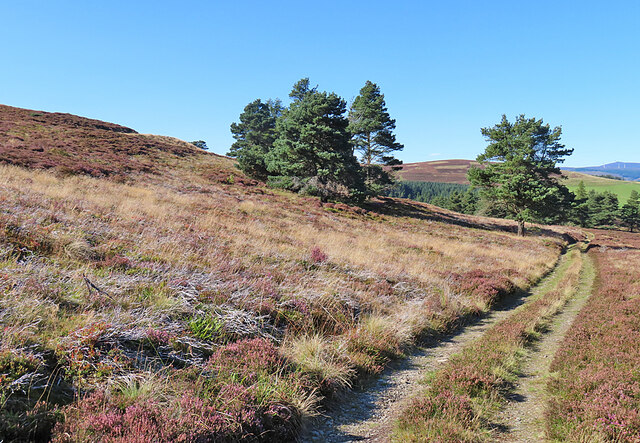
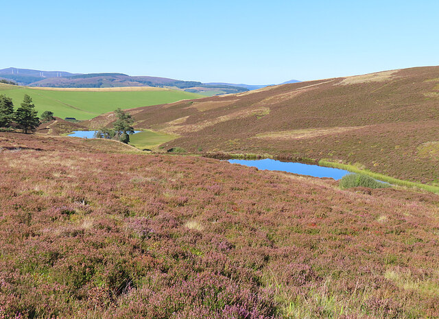
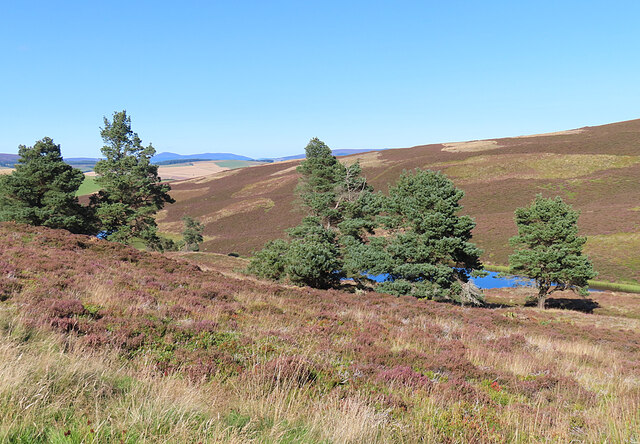
Ballochbuie Hill offers breathtaking panoramic views of the surrounding landscape, including the picturesque Glen Tanar and the nearby River Dee. It is known for its rugged terrain, characterized by steep slopes and rocky outcrops. The hill is primarily composed of granite, which gives it a unique appearance.
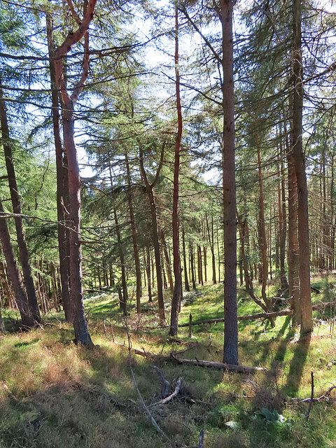
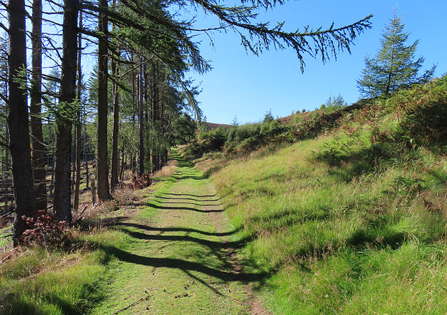
The Ballochbuie Forest, in which the hill is located, is a designated Site of Special Scientific Interest (SSSI). It is renowned for its rich biodiversity, housing a wide variety of flora and fauna. The forest is home to several rare and endangered species, including the Scottish crossbill and the capercaillie.
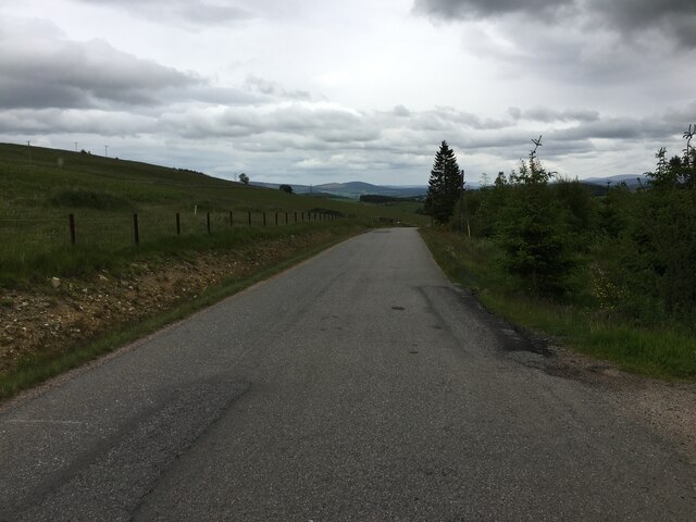
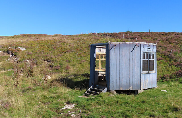
The hill attracts both nature enthusiasts and outdoor adventurers. Hiking and walking trails are available for visitors to explore the area and enjoy the stunning views. It is not uncommon to encounter wildlife such as red deer, mountain hares, and various bird species during the hike.
Ballochbuie Hill holds historical significance as well. It is rumored to have been a site of ancient settlements, with remnants of stone circles and burial cairns found in the vicinity. The hill's cultural and natural heritage make it a popular destination for tourists and locals alike, seeking to immerse themselves in the beauty and history of the Aberdeenshire region.
If you have any feedback on the listing, please let us know in the comments section below.
Ballochbuie Hill Images
Images are sourced within 2km of 57.1674/-2.935452 or Grid Reference NJ4308. Thanks to Geograph Open Source API. All images are credited.


Ballochbuie Hill is located at Grid Ref: NJ4308 (Lat: 57.1674, Lng: -2.935452)
Unitary Authority: Aberdeenshire
Police Authority: North East
What 3 Words
///gravest.exam.amphibian. Near Aboyne, Aberdeenshire
Nearby Locations
Related Wikis

Migvie Castle
Migvie Castle was a 13th-century castle to the west of Migvie, Aberdeenshire, Scotland. Its remains were listed as a scheduled monument in 2007. ��2�...
Blue cairn circle
Blue cairn circle is a 21 metres (69 ft) diameter stone circle in Aberdeenshire, Scotland. In the center is a large stone cairn with several pits in it...

Towie, Aberdeenshire
Towie is a small hamlet and civil parish in Aberdeenshire, Scotland, close to Alford and Lumsden, on the River Don.One of the most notable features of...
Towie Castle
Towie Castle was a 17th-century tower house, about 3.5 miles (5.6 km) southwest of Kildrummy in Aberdeenshire, Scotland, on the right bank of the Don....
Logie Coldstone
Logie Coldstone (Scottish Gaelic: Lògaidh) is a village in Aberdeenshire, Scotland. The village lies north of the River Dee, near Tarland in the Cromar...
Blelack
Blelack (, Scottish Gaelic: Blàth Bholg) is a place in Aberdeenshire, Scotland, the location of Blelack House, a Scottish mansion house with origins in...
Glenkindie Castle
Glenkindie Castle was a 16th-century castle, about 3 miles (4.8 km) south-west of Kildrummy, Aberdeenshire, Scotland, at Glenkindie, north of the River...

Tarland
Tarland (Gaelic: Turlann) is a village in Aberdeenshire, Scotland and is located 5 miles (8 km) northwest of Aboyne, and 30 miles (50 km) west of Aberdeen...
Nearby Amenities
Located within 500m of 57.1674,-2.935452Have you been to Ballochbuie Hill?
Leave your review of Ballochbuie Hill below (or comments, questions and feedback).