Black Craig

Hill, Mountain in Aberdeenshire

Scotland

Black Craig

Burn of Glendui It's only a trickle of a stream today, the Glendui making its way to the Water of Tanar.
Burn of Glendui Credit: Liz Gray

Black Craig is a prominent hill located in Aberdeenshire, Scotland. Standing at an elevation of approximately 632 meters (2,073 feet), it is considered one of the notable mountains in the region.

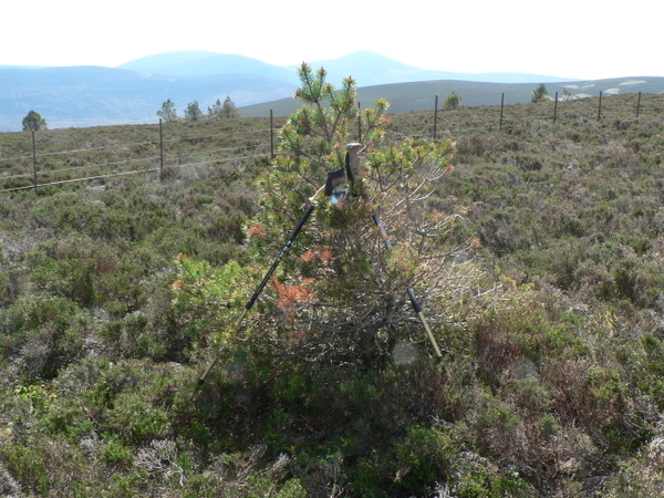
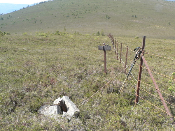
Situated in the eastern part of the Cairngorms National Park, Black Craig offers stunning panoramic views of the surrounding landscapes. The hill is characterized by its rugged terrain, featuring rocky outcrops and steep slopes. It is primarily composed of granite, adding to its picturesque appeal.

The ascent to Black Craig can be challenging, requiring a moderate level of fitness and hiking experience. However, the reward is well worth the effort, as the summit boasts outstanding vistas of the Cairngorms and the nearby Lochnagar Mountains.

The hill is a haven for nature enthusiasts and offers opportunities for various outdoor activities. Hiking and mountaineering are popular pursuits, with several well-marked trails leading to the summit. These trails provide a chance to observe the diverse flora and fauna of the area, including heather moorlands, wildflowers, and bird species such as the golden eagle and red grouse.

Black Craig is also steeped in history, with archaeological sites scattered throughout its slopes. These sites include ancient stone circles and remnants of Bronze Age settlements, providing a glimpse into the region's past.

Overall, Black Craig in Aberdeenshire offers a challenging yet rewarding outdoor experience, captivating visitors with its breathtaking views, rugged terrain, and rich historical significance.

If you have any feedback on the listing, please let us know in the comments section below.

Black Craig Images

Images are sourced within 2km of 57.037677/-2.9330787 or Grid Reference NO4394. Thanks to Geograph Open Source API. All images are credited.

Burn of Glendui It's only a trickle of a stream today, the Glendui making its way to the Water of Tanar.
Burn of Glendui
It's only a trickle of a stream today, the Glendui making its way to the Water of Tanar.
Derelict hut A derelict hut blending into the woodland on the Glen Tanar estate
Derelict hut
A derelict hut blending into the woodland on the Glen Tanar estate
Small pine tree A small pine on the summit of Craigrae Beg, Mount Keen in the background
Small pine tree
A small pine on the summit of Craigrae Beg, Mount Keen in the background
Moorland track The track was not marked on the map I was using, it was mostly a narrow walking track between Black Craig & Craigrae Beg, this is the point where the track widened suggesting it is used by estate vehicles, but it does not appear to be used very often
Moorland track
The track was not marked on the map I was using, it was mostly a narrow walking track between Black Craig & Craigrae Beg, this is the point where the track widened suggesting it is used by estate vehicles, but it does not appear to be used very often
Signpost on a hillside An old metal signpost? with no destination and a boundary fence which makes route finding from Slai na Gour to Glack Craig very easy.  Easy walking on short heather with only a few scattered pine trees.
Signpost on a hillside
An old metal signpost? with no destination and a boundary fence which makes route finding from Slai na Gour to Glack Craig very easy. Easy walking on short heather with only a few scattered pine trees.
Cairn or sculpture An inspired use of rocks & stones on Black Craig.  Black Craig being classified as a Highland 5 summit.
Cairn or sculpture
An inspired use of rocks & stones on Black Craig. Black Craig being classified as a Highland 5 summit.
Slai na Gour Slai na Gour summit cairn at 486m.  Easy walking over short heather on an almost trackless hillside.
Slai na Gour
Slai na Gour summit cairn at 486m. Easy walking over short heather on an almost trackless hillside.
Track by the Water of Tanar The track gives access to the Mounth for deer stalking and grouse shooting.
Track by the Water of Tanar
The track gives access to the Mounth for deer stalking and grouse shooting.
The Glen Tanar track The track gives access to the Mounth for deer stalking and grouse shooting.
The Glen Tanar track
The track gives access to the Mounth for deer stalking and grouse shooting.
Stone slabs in the Water of Tanar
Concrete ford A vehicle fording point over the Water of Tanar.
Concrete ford
A vehicle fording point over the Water of Tanar.
The Bridge of Glendui The bridge carries the Glen Tanar track over the Burn of Glendui.
The Bridge of Glendui
The bridge carries the Glen Tanar track over the Burn of Glendui.
Log pile in Glen Tanar Forest The forest here is being thinned, giving timber for the local sawmill and creating habitat for the struggling capercaillies.
Log pile in Glen Tanar Forest
The forest here is being thinned, giving timber for the local sawmill and creating habitat for the struggling capercaillies.
Granite slabs, Water of Tanar There are several attractive steps in the river. Easily found from the road by following obvious paths towards the river.
Granite slabs, Water of Tanar
There are several attractive steps in the river. Easily found from the road by following obvious paths towards the river.
Water of Tanar The bouldery bed, upstream of a series of slabby steps.
Water of Tanar
The bouldery bed, upstream of a series of slabby steps.
Road down Glen Tanar A steady gradient beside the river.  An unusual feature here is that there is a dense plantation with some spruce on the north side of the road.
Road down Glen Tanar
A steady gradient beside the river. An unusual feature here is that there is a dense plantation with some spruce on the north side of the road.
Glen Tanar Forest North of the road, pines start again after a short patch of dense spruce.
Glen Tanar Forest
North of the road, pines start again after a short patch of dense spruce.
Slabby step, Water of Tanar A step of granite rock in the river bed.
Slabby step, Water of Tanar
A step of granite rock in the river bed.
Show me another place!

Black Craig is located at Grid Ref: NO4394 (Lat: 57.037677, Lng: -2.9330787)

Unitary Authority: Aberdeenshire

Police Authority: North East

What 3 Words

///became.exit.eyelashes. Near Ballater, Aberdeenshire

Nearby Locations

Black Craig

Related Wikis

Dee Castle

Dee Castle was a 15th-century castle, about 5 miles (8.0 km) east of Ballater, Aberdeenshire, Scotland, and south of the River Dee.It may be known alternatively...

Cambus O'May railway station

Cambus O'May railway station or Cambus O'May Halt, served Aberdeenshire, Scotland from 1876 to 1966 on the Deeside Railway. It was intended to serve the...

Cambus O' May bridge

The Cambus O' May bridge spans the River Dee to the east of Ballater, Aberdeenshire, Scotland. It was paid for by the estate of Alexander Gordon, who...

Muir of Dinnet

Muir of Dinnet is a national nature reserve (NNR) situated close to the village of Dinnet in Aberdeenshire, Scotland. The reserve extends 1166 hectares...

Nearby Amenities

Located within 500m of 57.037677,-2.9330787
Black Craig
Ele: 529
Natural: peak
Lat/Long: 57.0375083/-2.9319788
The data included in this document is from www.openstreetmap.org. The data is made available under ODbL.

Have you been to Black Craig?

Leave your review of Black Craig below (or comments, questions and feedback).