Rose Hill

Hill, Mountain in Cumberland Carlisle

England

Rose Hill

Benchmark on top of central pier of south parapet of Botcherby Bridge Ordnance Survey rivet benchmark. The 1892-1914 25" Map shows a benchmark levelled at 57.4 feet above Liverpool Datum at this location. As the bridge was rebuilt in 1932 it is unlikely that this refers to the present mark
Benchmark on top of central pier of south parapet of Botcherby Bridge Credit: Roger Templeman

Rose Hill is a prominent hill located in Cumberland, Rhode Island, in the northeastern part of the United States. Standing at an elevation of approximately 440 feet, it is often referred to as Rose Hill Mountain due to its size and prominence in the area.

Rose Hill is situated in a picturesque setting surrounded by lush greenery and offers panoramic views of the surrounding landscape. It is a popular destination for hikers, nature enthusiasts, and locals seeking outdoor recreation. The hill is known for its well-maintained trails, which wind through dense forests and meander along the hillside, providing visitors with a tranquil and serene experience.

One of the highlights of Rose Hill is its diverse flora and fauna. The hill is home to a variety of plant species, including oak and maple trees, as well as vibrant wildflowers that bloom during the spring and summer months. Wildlife such as deer, rabbits, and a wide array of bird species can also be spotted in the area.

Additionally, Rose Hill has a rich history. It is named after the Rose family, who were early settlers in the region. The hill has served as an important landmark and gathering place for local communities over the years.

Overall, Rose Hill in Cumberland, Rhode Island, offers a captivating natural landscape, abundant wildlife, and a tranquil atmosphere, making it an ideal destination for outdoor enthusiasts and those seeking a peaceful escape from the hustle and bustle of daily life.

If you have any feedback on the listing, please let us know in the comments section below.
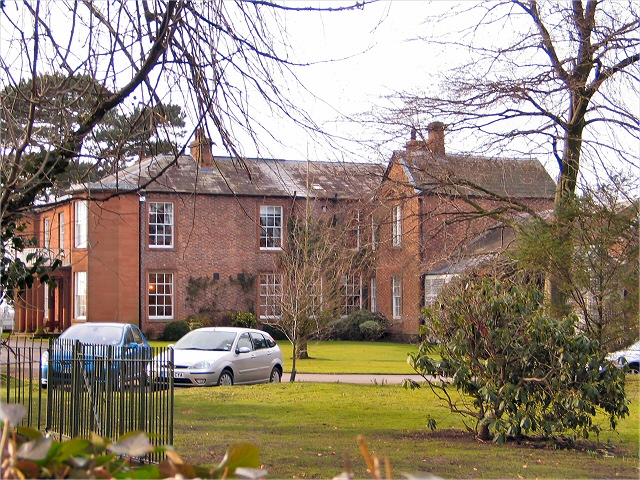
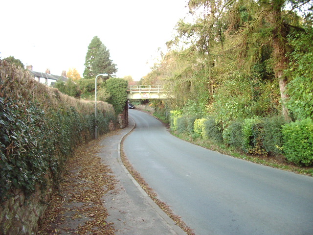
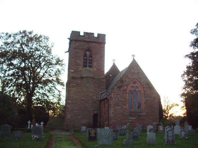
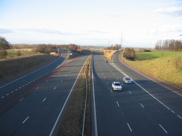
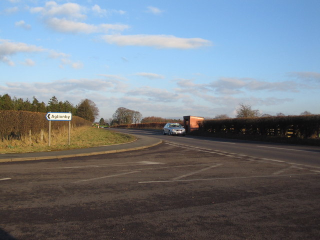
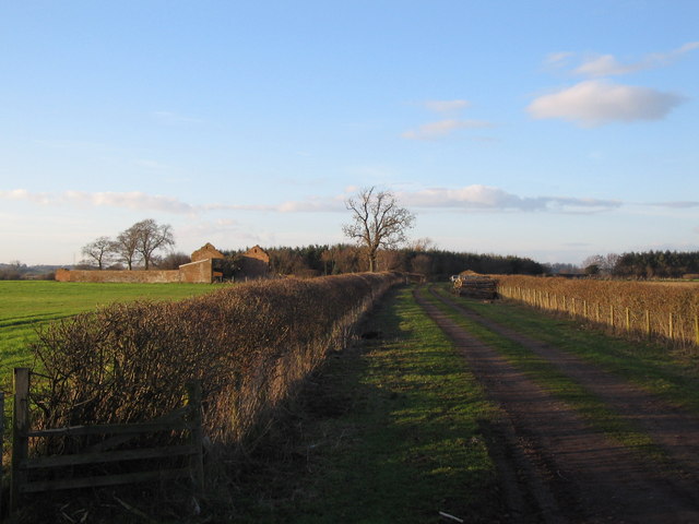
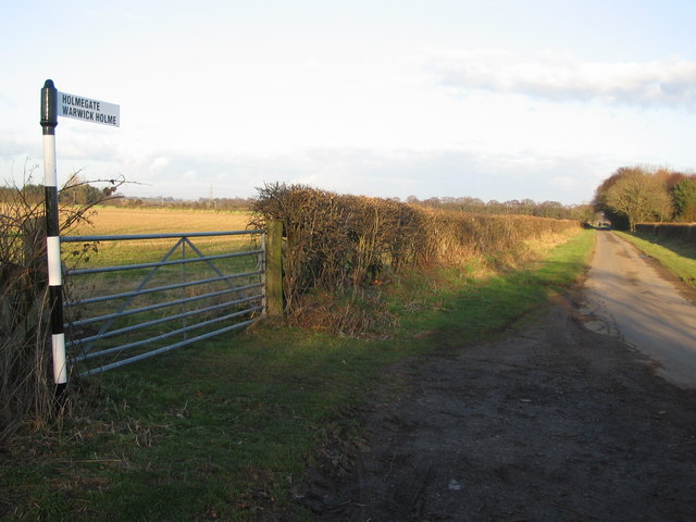
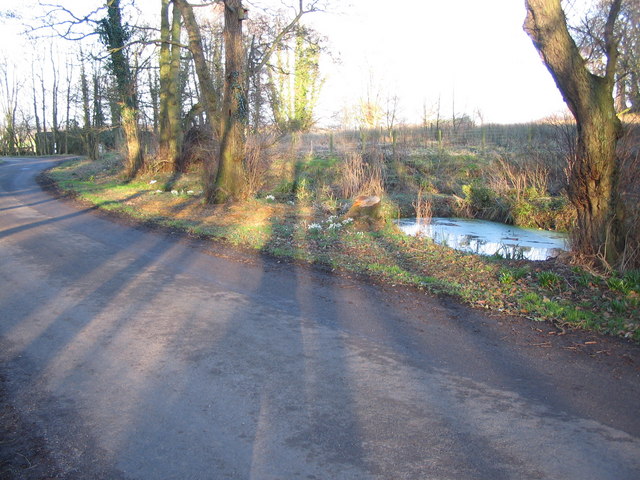
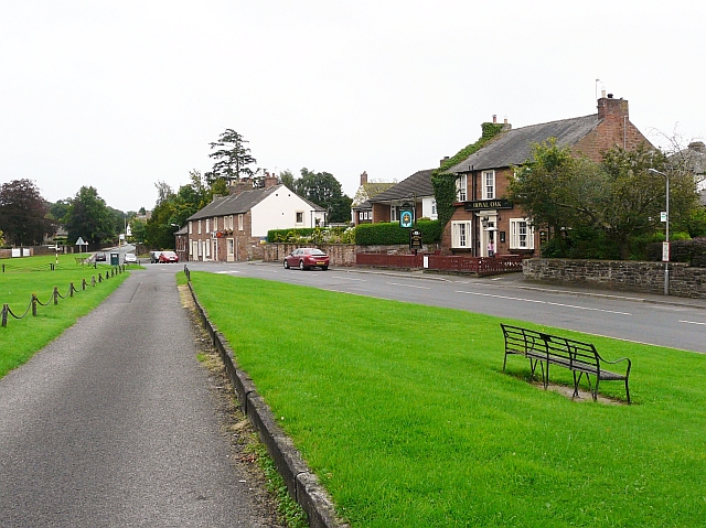
Rose Hill Images

Images are sourced within 2km of 54.895392/-2.8831095 or Grid Reference NY4355. Thanks to Geograph Open Source API. All images are credited.

Benchmark on top of central pier of south parapet of Botcherby Bridge Ordnance Survey rivet benchmark. The 1892-1914 25" Map shows a benchmark levelled at 57.4 feet above Liverpool Datum at this location. As the bridge was rebuilt in 1932 it is unlikely that this refers to the present mark
Benchmark on top of central pier of south parapet of Botcherby Bridge
Ordnance Survey rivet benchmark. The 1892-1914 25" Map shows a benchmark levelled at 57.4 feet above Liverpool Datum at this location. As the bridge was rebuilt in 1932 it is unlikely that this refers to the present mark
Linstock Bridge Carries the M6 over the River Eden
Linstock Bridge
Carries the M6 over the River Eden
Beeches Plantation above River Eden
Beeches Plantation
above River Eden
Rose Hill Impressive country house on the A69 at Rose Hill. On the outskirts of Carlisle.
Rose Hill
Impressive country house on the A69 at Rose Hill. On the outskirts of Carlisle.
Railway Bridge Railway bridge at Scotby which carries the Carlisle to Settle Railway over the Scotby to Cumwhinton road
Railway Bridge
Railway bridge at Scotby which carries the Carlisle to Settle Railway over the Scotby to Cumwhinton road
All Saints Church, Scotby
M6 Junction 43 A view looking north along the M6 motorway towards junction 43.
M6 Junction 43
A view looking north along the M6 motorway towards junction 43.
The M6 south of junction 43 A view looking to the south along the M6 from the overbridge to the south of junction 43.
The M6 south of junction 43
A view looking to the south along the M6 from the overbridge to the south of junction 43.
Railway at Scotby A view looking to the east along the railway track at Scotby as a freight train passes on its way to Carlisle.
Railway at Scotby
A view looking to the east along the railway track at Scotby as a freight train passes on its way to Carlisle.
St. Andrews, Botcherby A view looking to the northeast towards St. Andrews church at Botcherby.
St. Andrews, Botcherby
A view looking to the northeast towards St. Andrews church at Botcherby.
Florida Stores, Botcherby A view looking to the northeast across Victoria Road towards the Florida Stores at Botcherby.
Florida Stores, Botcherby
A view looking to the northeast across Victoria Road towards the Florida Stores at Botcherby.
Turning for Aglionby A view looking to the east along the A69 at the junction with the lane to Aglionby.
Turning for Aglionby
A view looking to the east along the A69 at the junction with the lane to Aglionby.
Snowdrops at  Aglionby A view looking to the southwest along the lane through Aglionby, towards a clump of snowdrops illuminated by the late afternoon sun.
Snowdrops at Aglionby
A view looking to the southwest along the lane through Aglionby, towards a clump of snowdrops illuminated by the late afternoon sun.
Pond at Aglionby A view looking to the northeast across the lane through Aglionby towards a small pond.
Pond at Aglionby
A view looking to the northeast across the lane through Aglionby towards a small pond.
Track to Strickland A view looking to the northwest along the track to Strickland, the derelict building on the left.
Track to Strickland
A view looking to the northwest along the track to Strickland, the derelict building on the left.
Lane to Holmegate A view looking to the northeast along the lane to Holmegate.
Lane to Holmegate
A view looking to the northeast along the lane to Holmegate.
M6 bridge M6 bridge over Settle to Carlisle Railway seen from bridge on minor road U1184 to St Brelades
M6 bridge
M6 bridge over Settle to Carlisle Railway seen from bridge on minor road U1184 to St Brelades
Grazing beside the M6 Horses and sheep grazing beside the M6 south of Lough Butts Wood. Taken from the bridleway.
Grazing beside the M6
Horses and sheep grazing beside the M6 south of Lough Butts Wood. Taken from the bridleway.
Show me another place!

Rose Hill is located at Grid Ref: NY4355 (Lat: 54.895392, Lng: -2.8831095)

Administrative County: Cumbria

District: Carlisle

Police Authority: Cumbria

What 3 Words

///renew.prompting.orchestra. Near Scotby, Cumbria

Nearby Locations

Rose Hill

Related Wikis

Aglionby, Cumbria

Aglionby is a village in Cumbria, England. Aglionby lies within the civil parish of Wetheral and thus forms part of the district administered as the City...
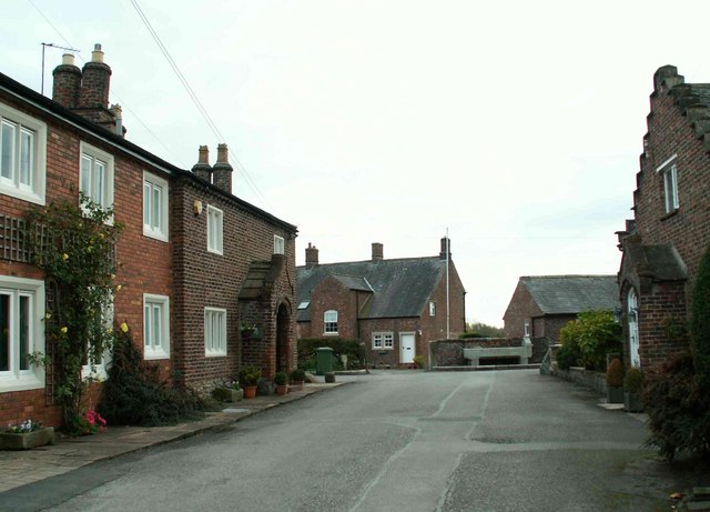
Scotby

Scotby is a village in the Cumberland unitary authority area of Cumbria, England. It is separated from Carlisle by the M6 motorway, and it is close to...
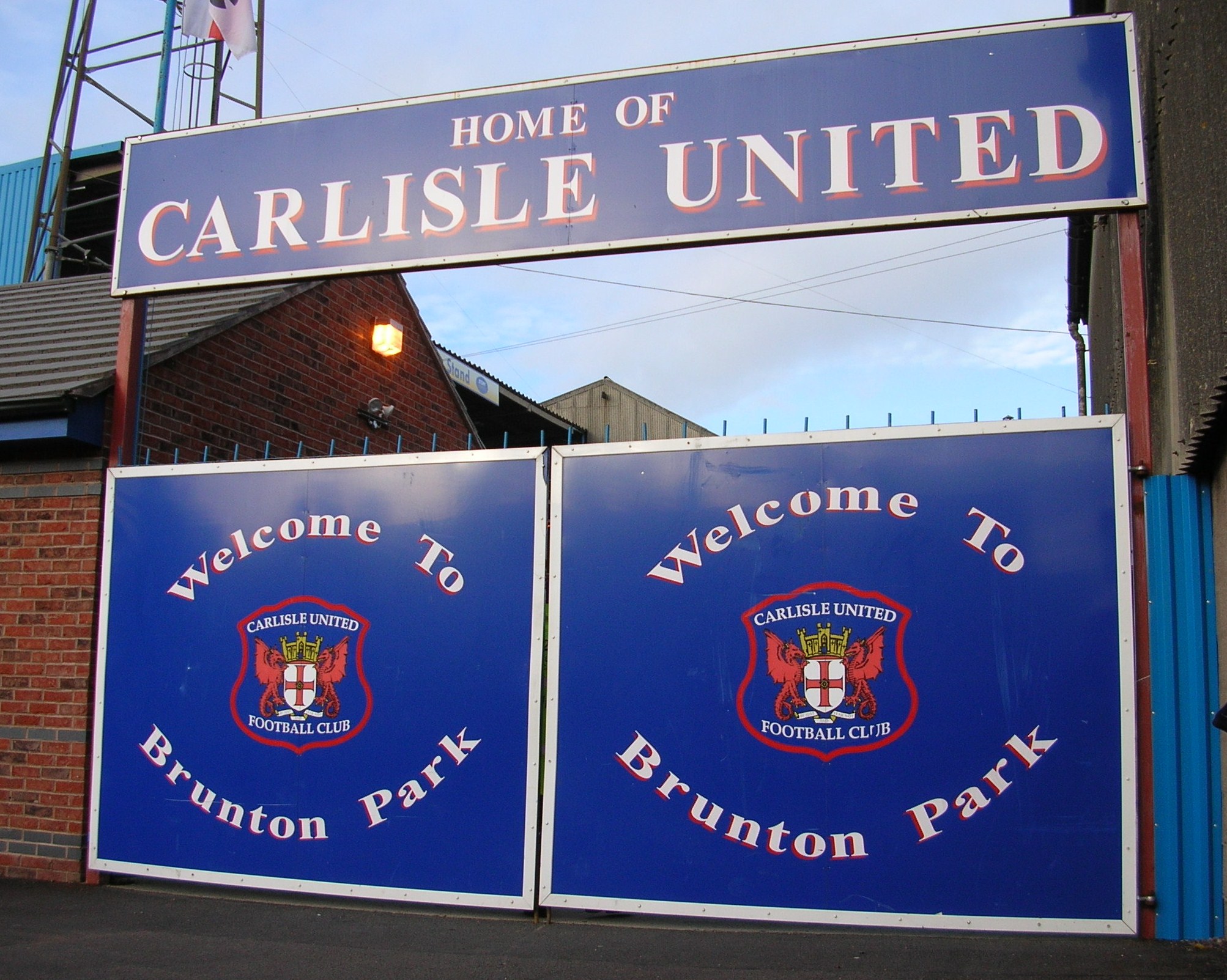
Brunton Park

Brunton Park is a football stadium and the home of Carlisle United. It is situated in the city of Carlisle and has a certified capacity of 17,949. The...
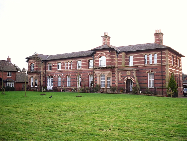
Garlands Hospital

Garlands Hospital was a mental health facility at Carleton near Carlisle in Cumbria, England. == History == The hospital, which was designed by Thomas...

Rickerby

Rickerby is a village in the civil parish of Stanwix Rural, in the City of Carlisle district, in the county of Cumbria, England. It is situated near Carlisle...

Rickerby Park

Rickerby Park is a public open space in Carlisle, Cumbria on the banks of the River Eden. The parkland is dotted with mature trees, beneath which cattle...
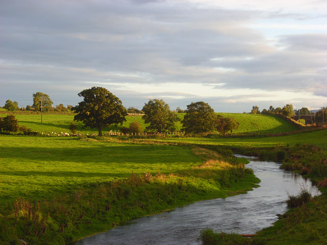
River Petteril

The River Petteril is a river running through the English county of Cumbria. The source of the Petteril is near Penruddock and Motherby, from where the...

St Martin's College

St Martin's College was a British higher education college with campuses in Lancaster, Ambleside and Carlisle, as well as sites in Whitehaven, Barrow and...

Nearby Amenities

Located within 500m of 54.895392,-2.8831095
Motorway Junction
Rosehill Roundabout
Ref: 43
Lat/Long: 54.8920706/-2.8864131
Bus Stop
Rosehill (W bound)
Naptan AtcoCode: 090033442078
Naptan Bearing: W
Naptan CommonName: Rosehill (W bound)
Naptan Indicator: opp
Naptan Landmark: Rosehill Henry Lonsdale Home
Naptan NaptanCode: cumatgtw
Naptan PlusbusZoneRef: CARLILE
Naptan Street: A69
Naptan Verified: no
Source: naptan_import
Lat/Long: 54.8955649/-2.882951
Bus Stop
Road End (S bound)
Bench: no
Covered: no
Naptan AtcoCode: 090033442136
Naptan Bearing: S
Naptan CommonName: Road End (S bound)
Naptan Indicator: opp
Naptan Landmark: no. 137
Naptan NaptanCode: cumatgwa
Naptan PlusbusZoneRef: CARLILE
Naptan Street: Scotby Road
Naptan Verified: no
Shelter: no
Source: naptan_import
Lat/Long: 54.8966804/-2.8765977
Bus Stop
Red Cottage
Local Ref: AT
Naptan AtcoCode: 090033442740
Naptan Bearing: W
Naptan CommonName: Red Cottage
Naptan Indicator: at
Naptan Landmark: Scotby Bridge
Naptan NaptanCode: cumatjdg
Naptan PlusbusZoneRef: CARLILE
Naptan Street: Park Road
Naptan Verified: no
Source: naptan_import
Lat/Long: 54.8919665/-2.8846809
Bus Stop
Rosehill (E bound)
Naptan AtcoCode: 090033442751
Naptan Bearing: E
Naptan CommonName: Rosehill (E bound)
Naptan Indicator: o/s
Naptan Landmark: Rosehill Henry Lonsdale Home
Naptan NaptanCode: cumatjdj
Naptan PlusbusZoneRef: CARLILE
Naptan Street: A69
Naptan Verified: no
Source: naptan_import
Lat/Long: 54.896021/-2.8820254
Bus Stop
Road End (W bound)
Bus: yes
Naptan AtcoCode: 090033442878
Naptan Bearing: W
Naptan CommonName: Road End (W bound)
Naptan Indicator: o/s
Naptan Landmark: Wheelbarrow Court
Naptan NaptanCode: cumatjgt
Naptan PlusbusZoneRef: CARLILE
Naptan Street: A69
Naptan Verified: no
Public Transport: platform
Shelter: yes
Source: naptan_import
Lat/Long: 54.8968396/-2.8781917
Design: three-level
Power: tower
Lat/Long: 54.8932286/-2.885387
Design: three-level
Power: tower
Lat/Long: 54.8961099/-2.8859692
Design: three-level
Power: tower
Lat/Long: 54.8990528/-2.8865278
Post Box
Ref: CA4 331
Source: survey
Lat/Long: 54.8915781/-2.8805357
Post Box
Ref: CA4 340
Lat/Long: 54.8970799/-2.8766454
Shop: car_repair
Lat/Long: 54.8970303/-2.8763174
Power: pole
Lat/Long: 54.8927755/-2.8793392
Power: pole
Lat/Long: 54.8933439/-2.8779789
The data included in this document is from www.openstreetmap.org. The data is made available under ODbL.

Have you been to Rose Hill?

Leave your review of Rose Hill below (or comments, questions and feedback).