Crawley Hill
Hill, Mountain in Fife
Scotland
Crawley Hill

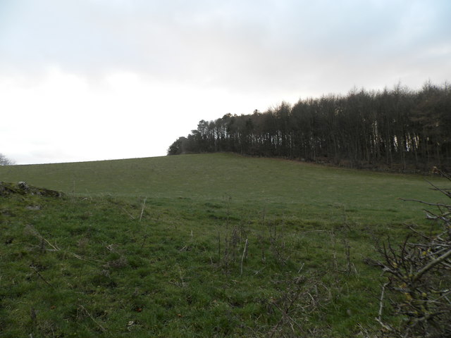
Crawley Hill is a prominent hill located in Fife, Scotland. Standing at an elevation of approximately 450 meters (1,476 feet), it is one of the highest points in the region. The hill is situated about 10 kilometers (6 miles) southwest of the town of Cupar.
Crawley Hill is renowned for its breathtaking panoramic views of the surrounding countryside. From the summit, visitors can enjoy sweeping vistas of Fife's rolling hills, lush farmland, and distant peaks. On a clear day, the view extends as far as the Firth of Tay and the East Coast.
The hill itself is characterized by its gentle slopes and a mixture of grassy fields and heather-covered terrain. It is a popular spot for outdoor enthusiasts, offering opportunities for walking, hiking, and nature photography. The ascent to the summit is relatively easy, with a well-defined path that meanders through the landscape.
The area surrounding Crawley Hill is home to a diverse range of wildlife. Birdwatchers can often spot various species of birds, including buzzards, kestrels, and pheasants. Rabbits and hares are also commonly seen in the vicinity.
Crawley Hill holds historical significance as well. It is believed that the hill may have served as a lookout point during ancient times, providing a strategic vantage for observing the surrounding area.
Overall, Crawley Hill offers visitors a chance to experience the natural beauty of the Fife countryside while enjoying stunning views and outdoor activities.
If you have any feedback on the listing, please let us know in the comments section below.
Crawley Hill Images
Images are sourced within 2km of 56.401671/-2.9264494 or Grid Reference NO4223. Thanks to Geograph Open Source API. All images are credited.


Crawley Hill is located at Grid Ref: NO4223 (Lat: 56.401671, Lng: -2.9264494)
Unitary Authority: Fife
Police Authority: Fife
What 3 Words
///brighter.path.forkful. Near Balmullo, Fife
Nearby Locations
Related Wikis
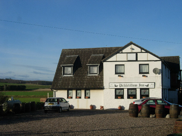
Pickletillum
Pickletillem or Pickletillum is a hamlet situated in Fife, Scotland. It is 9 miles (14 km) from the town of St. Andrews and 5.9 miles (9.5 km) from the...

Lucklawhill
Lucklawhill is a hamlet one mile (1.6 km) northwest of the village of Balmullo in Fife, Scotland. Historically, Lucklawhill belonged to the Logie parish...
St Fort railway station
St. Fort railway station served the civil parish of Forgan, Fife, Scotland from 1878 to 1965 on the Tay Bridge Line and Newburgh and North Fife Railway...

Lady Leng Memorial Chapel
Lady Leng Memorial Chapel (also known as Vicarsford Cemetery Chapel) is a church building in Leuchars, Fife, Scotland. Built between 1895 and 1897, to...

St Fort
St Fort (, , or ) is a rural area, largely in Forgan parish, Fife. The current form of the name is late eighteenth century, the origin being a sandy ford...
Forgan (Fife)
Forgan is a civil parish in the Scottish county of Fife. It extends 4 miles in length along the north coast of Fife and is at the southern mouth of the...
Balmullo
Balmullo (Gaelic: Baile Mhullaich) is a village in Fife, Scotland. It is 7 miles (11 km) from the town of St Andrews and near to the villages of Lucklawhill...
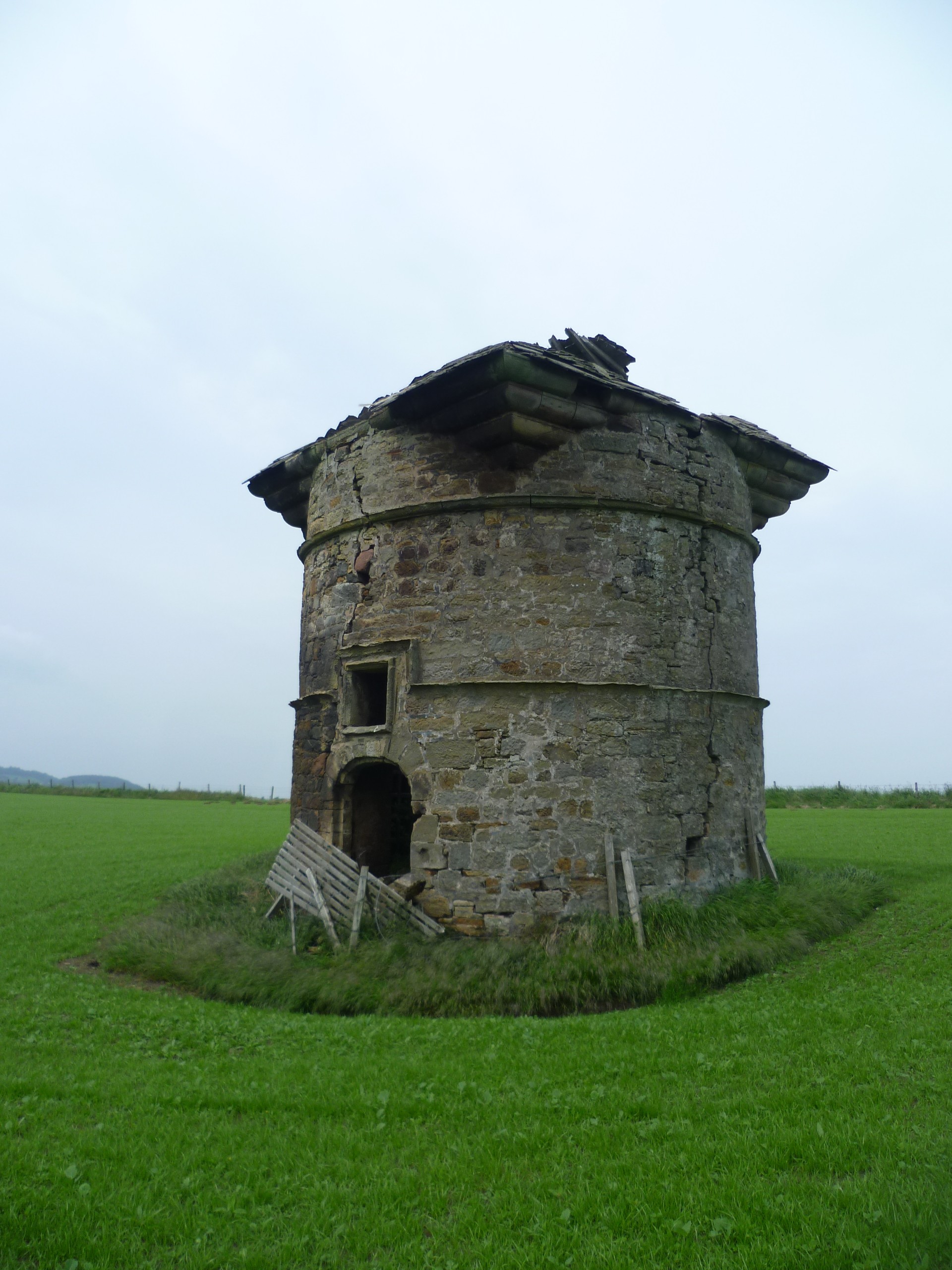
Leuchars Castle
Leuchars Castle, was a castle that was located near Leuchars, Fife, Scotland.A motte and bailey castle was built in the 12th century. The town was created...
Nearby Amenities
Located within 500m of 56.401671,-2.9264494Have you been to Crawley Hill?
Leave your review of Crawley Hill below (or comments, questions and feedback).