Banner Rigg
Hill, Mountain in Westmorland South Lakeland
England
Banner Rigg
Banner Rigg is a prominent hill/mountain located in the county of Westmorland, in the northwest region of England. Situated within the picturesque Lake District National Park, it is known for its exceptional natural beauty and stunning panoramic views.
At an elevation of approximately 441 meters (1,447 feet), Banner Rigg offers a moderate climb for outdoor enthusiasts and hikers. The hill is composed mainly of rugged and rocky terrain, with scattered patches of grass and heather. Its slopes are dotted with a variety of native flora and fauna, adding to its charm and biodiversity.
The ascent to the summit of Banner Rigg can be challenging but rewarding, as it provides breathtaking vistas of the surrounding landscapes. On a clear day, visitors can feast their eyes on the rolling hills, verdant valleys, and shimmering lakes that define the Lake District. The awe-inspiring views extend to the nearby fells, such as Helvellyn and Skiddaw, adding to the allure of the area.
Banner Rigg is a popular destination for outdoor activities, including walking, hiking, and photography. Its accessibility from nearby towns and villages, such as Ambleside and Windermere, makes it a convenient choice for both locals and tourists alike. The hill/mountain also offers a great opportunity for birdwatching, with various species frequently spotted in the area.
Overall, Banner Rigg in Westmorland stands as a remarkable natural landmark in the Lake District. With its impressive vistas, diverse ecosystem, and recreational opportunities, it continues to captivate and inspire visitors from all walks of life.
If you have any feedback on the listing, please let us know in the comments section below.
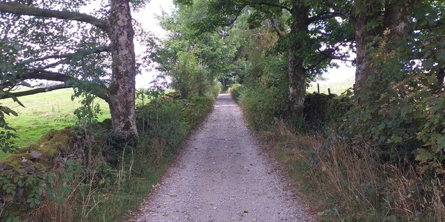
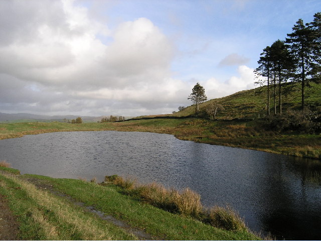
Banner Rigg Images
Images are sourced within 2km of 54.387093/-2.8844767 or Grid Reference SD4299. Thanks to Geograph Open Source API. All images are credited.


Banner Rigg is located at Grid Ref: SD4299 (Lat: 54.387093, Lng: -2.8844767)
Administrative County: Cumbria
District: South Lakeland
Police Authority: Cumbria
What 3 Words
///sifts.evaporate.puppets. Near Windermere, Cumbria
Nearby Locations
Related Wikis

Orrest Head
Orrest Head is a hill in the English Lake District on the eastern shores of Windermere. It is the subject of a chapter in Wainwright's The Outlying Fells...
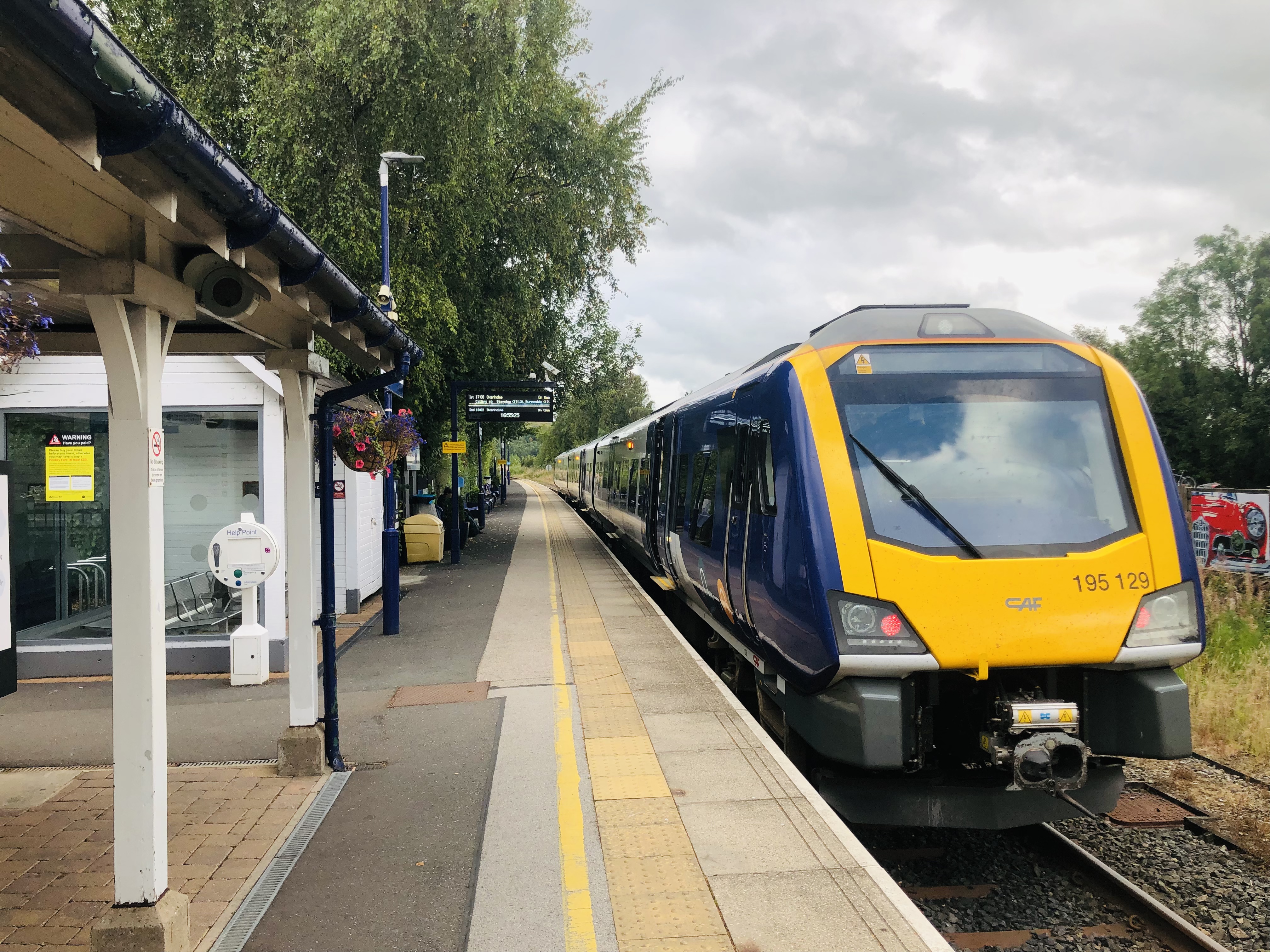
Windermere railway station
Windermere railway station serves Windermere in Cumbria, England. It is just south of the A591, about 25 min walk or a short bus ride from the lake. The...
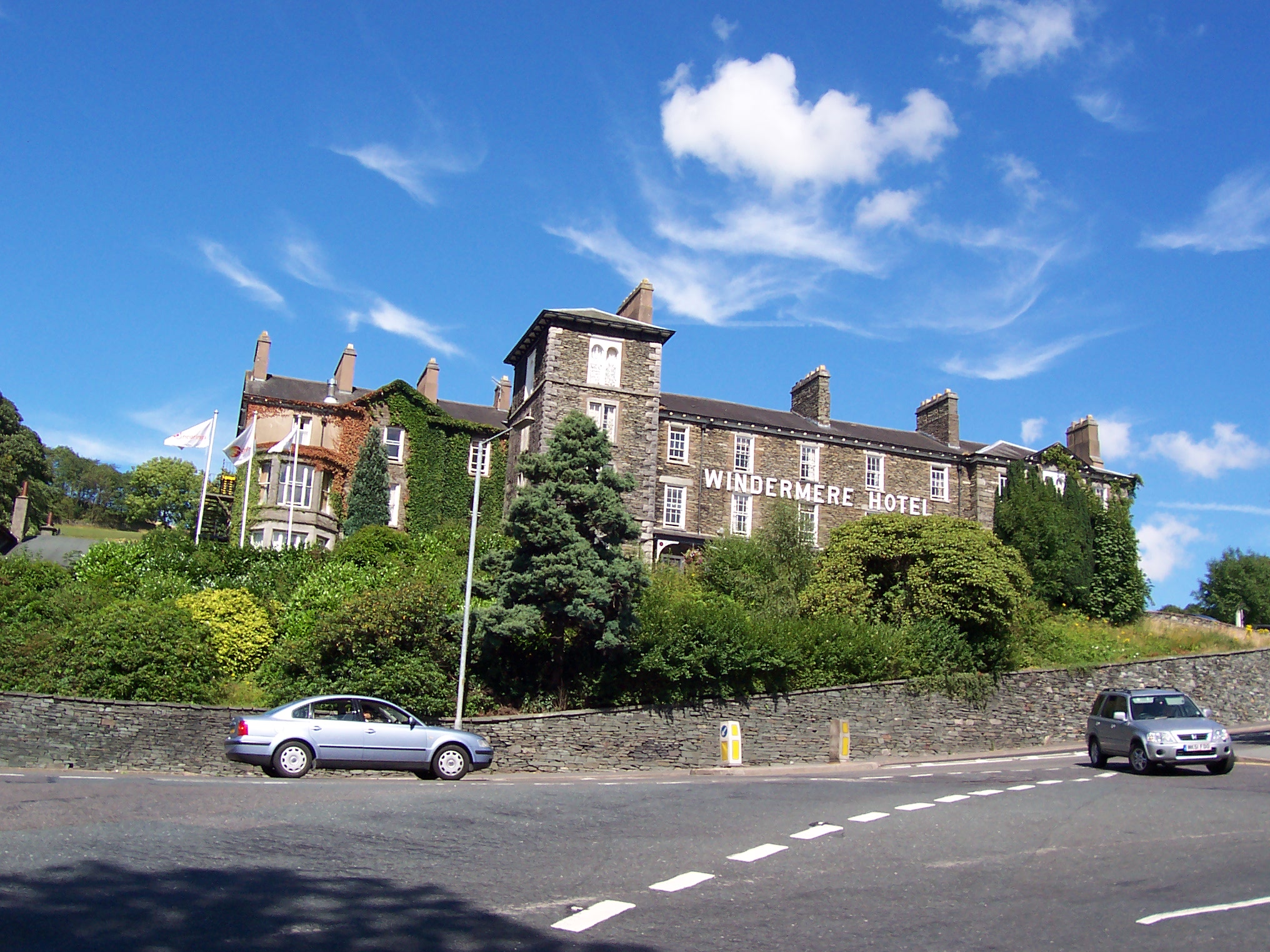
Windermere Hotel (Lake District)
Windermere Hotel , originally The Riggs Windermere, is a hotel in Windermere, Cumbria, England, located near Windermere railway station. The hotel opened...

Windermere and Bowness
Windermere and Bowness, formerly just Windermere is a civil parish in the Westmorland and Furness district, in the ceremonial county of Cumbria, England...
School Knott
School Knott is a hill in the Lake District, England, to the east of Windermere town, Cumbria. It is the subject of a chapter of Wainwright's book The...
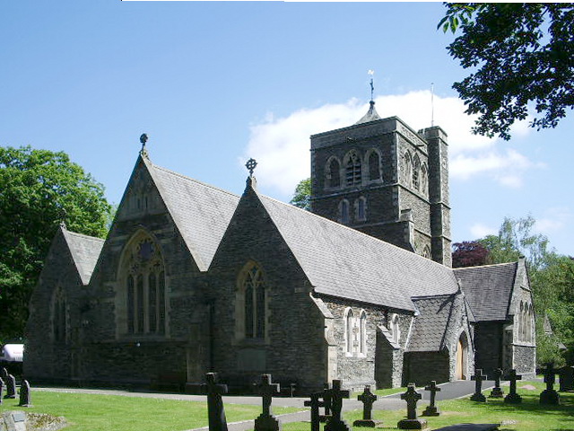
St Mary's Church, Windermere
St Mary's Church is in the town of Windermere, Cumbria, England. It is an active Anglican parish church in the deanery of Windermere, the archdeaconry...
Windermere, Cumbria (town)
Windermere () is a town in the civil parish of Windermere and Bowness, in the Westmorland and Furness district in the ceremonial county of Cumbria, England...

Windermere and Troutbeck
Windermere and Troutbeck (including Bridge House) is a National Trust property consisting of land around Windermere, a lake in Cumbria, England. This National...
Nearby Amenities
Located within 500m of 54.387093,-2.8844767Have you been to Banner Rigg?
Leave your review of Banner Rigg below (or comments, questions and feedback).