Combe Hill
Hill, Mountain in Somerset South Somerset
England
Combe Hill
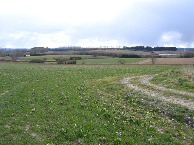
Combe Hill is a prominent hill located in Somerset, England. It is part of the Quantock Hills, which is a range of hills and open moorland designated as an Area of Outstanding Natural Beauty. Combe Hill stands at an elevation of 239 meters (784 feet) and offers breathtaking panoramic views of the surrounding countryside.
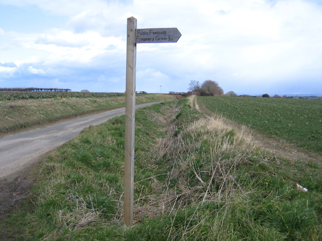
The hill is situated near the village of West Bagborough, approximately 7 miles southwest of Taunton. It is easily accessible by foot and offers several walking trails that allow visitors to explore its diverse flora and fauna. The summit of Combe Hill is adorned with an Iron Age hillfort, which adds historical significance to the area.
The hill is characterized by its gentle slopes and grassy terrain, making it ideal for recreational activities such as hiking, picnicking, and photography. Many visitors are drawn to Combe Hill for its stunning sunsets, as the hill provides an unobstructed view of the western horizon.
In addition to its natural beauty, Combe Hill is also home to a variety of wildlife. Visitors may spot wild ponies, deer, and a wide range of bird species, including buzzards and kestrels.
Overall, Combe Hill offers a serene and picturesque escape from the bustle of everyday life. Whether you are an avid hiker, nature enthusiast, or simply seeking a peaceful retreat, Combe Hill is a must-visit destination in Somerset.
If you have any feedback on the listing, please let us know in the comments section below.
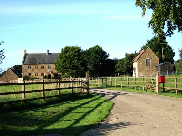
Combe Hill Images
Images are sourced within 2km of 50.950666/-2.8187623 or Grid Reference ST4217. Thanks to Geograph Open Source API. All images are credited.


Combe Hill is located at Grid Ref: ST4217 (Lat: 50.950666, Lng: -2.8187623)
Administrative County: Somerset
District: South Somerset
Police Authority: Avon and Somerset
What 3 Words
///grub.flattens.gurgled. Near South Petherton, Somerset
Nearby Locations
Related Wikis

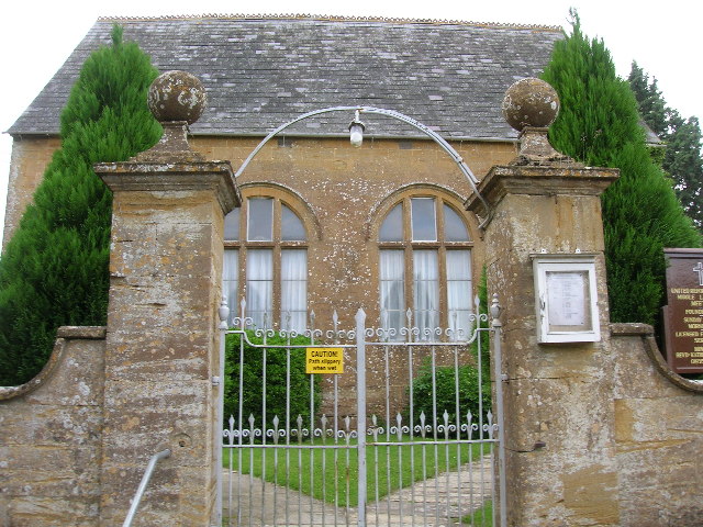
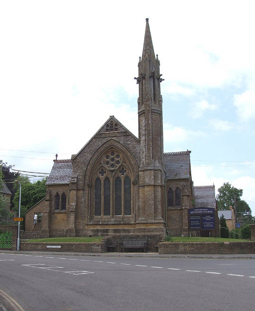
Coke Memorial Methodist Church
Coke Memorial Methodist Church is a former Methodist church in South Petherton, Somerset, England. Designed by Alexander Lauder, it was built in 1881-82...

Church of St Peter and St Paul, South Petherton
The Church of St Peter and St Paul is the Church of England parish church for the village of South Petherton, Somerset, England. The present church is...

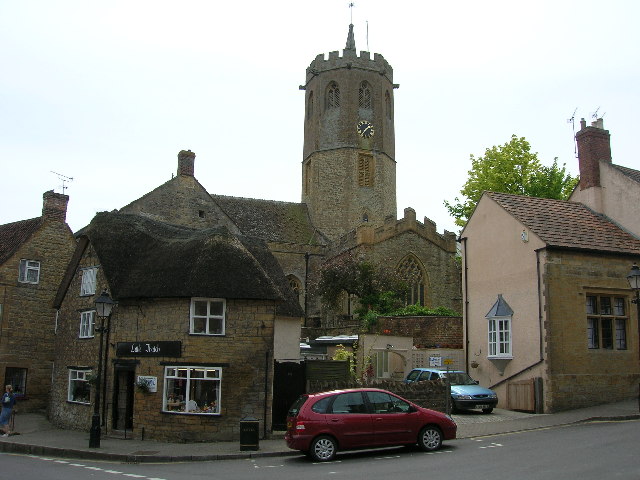
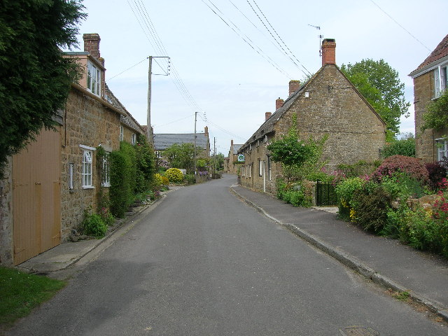
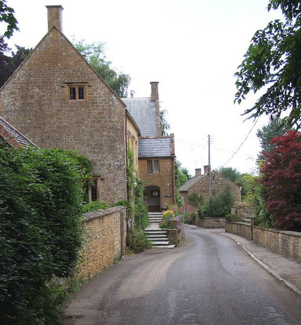
South Petherton
South Petherton is a large village and civil parish in the South Somerset district of Somerset, England, located 5 miles (8 km) east of Ilminster and 5...

Church of St James, East Lambrook
The Anglican Church of St James in East Lambrook, Kingsbury Episcopi, Somerset, England was built in the 12th century. It is a Grade II* listed building...
Nearby Amenities
Located within 500m of 50.950666,-2.8187623Have you been to Combe Hill?
Leave your review of Combe Hill below (or comments, questions and feedback).