Cairds Hill
Hill, Mountain in Banffshire
Scotland
Cairds Hill
Cairds Hill, located in Banffshire, Scotland, is a prominent hill/mountain that offers stunning panoramic views of the surrounding landscapes. Standing at an elevation of approximately 1,150 feet (350 meters), it is a popular destination for hikers, nature enthusiasts, and photographers.
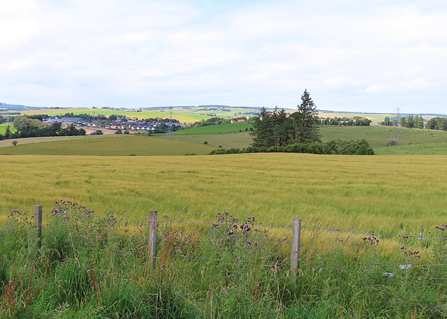
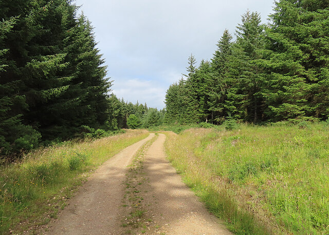
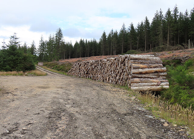
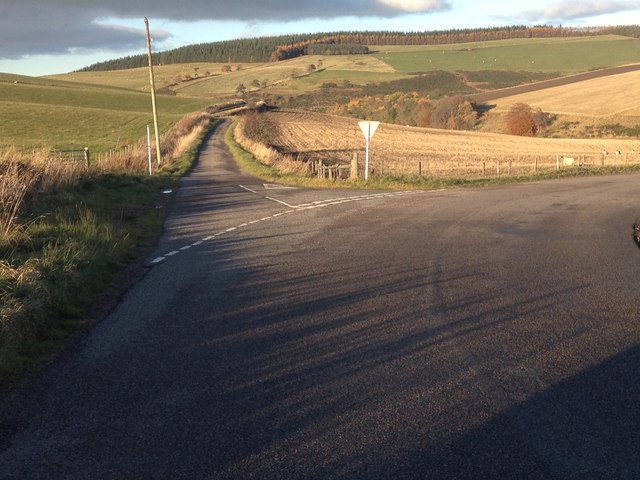
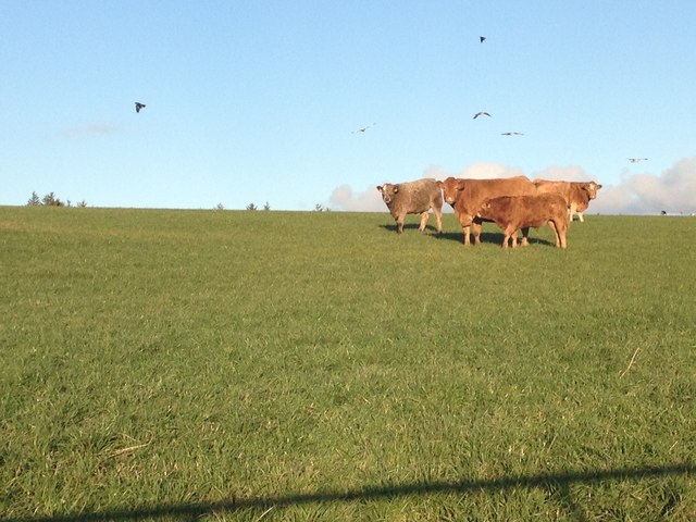
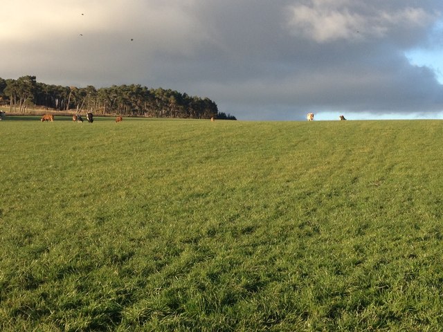
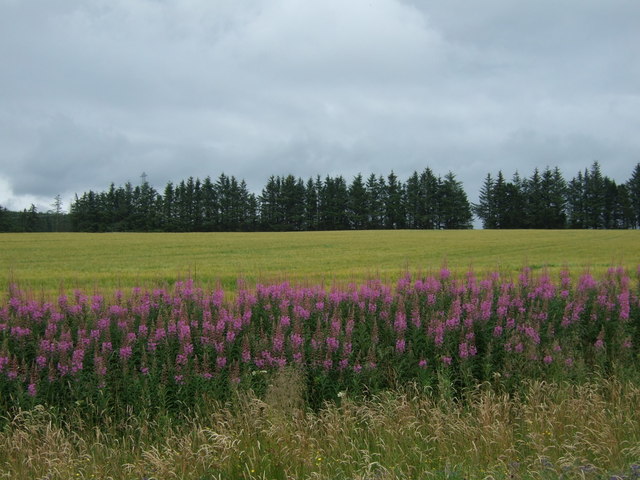
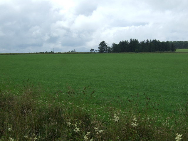
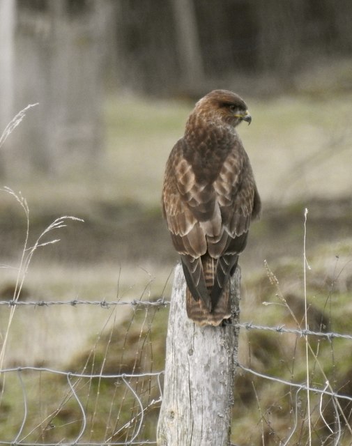
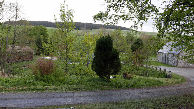
The hill is situated in a rural area, covered in heather and grass, with scattered patches of woodland. It forms part of the picturesque Cairds Hill Forest, which adds to its charm. The forest is mainly composed of coniferous trees, such as Scots pine and fir, providing a diverse and beautiful habitat for various bird species and other wildlife.
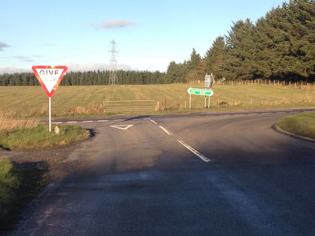
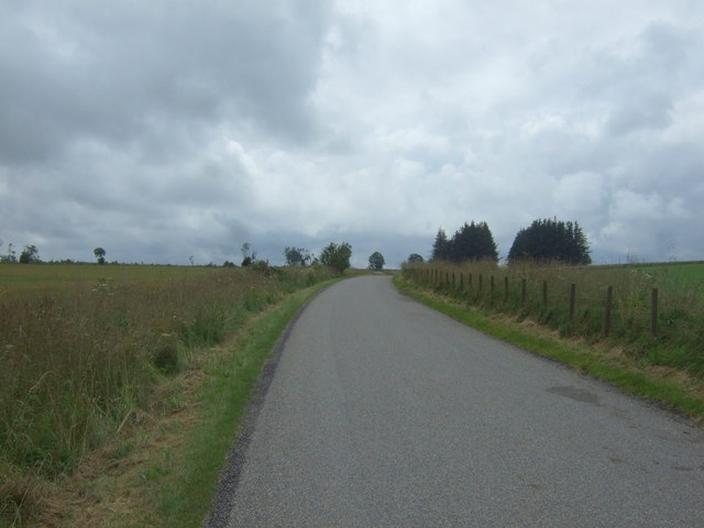
Cairds Hill is easily accessible, with a well-marked trail leading to the summit. The hike to the top is moderate in difficulty, making it suitable for individuals of different fitness levels. Along the way, adventurers can enjoy the peaceful atmosphere, as well as the sightings of local flora and fauna.
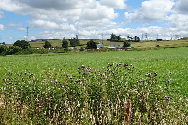
Once reaching the summit, visitors are rewarded with breathtaking views of the surrounding countryside, including rolling hills, farmland, and distant mountains. On clear days, it is even possible to catch glimpses of the North Sea in the distance.
Overall, Cairds Hill offers a delightful outdoor experience, allowing visitors to immerse themselves in the natural beauty of Banffshire. Whether you are seeking a peaceful hike, an opportunity to connect with nature, or simply a picturesque spot to capture stunning photographs, Cairds Hill is a must-visit destination.
If you have any feedback on the listing, please let us know in the comments section below.
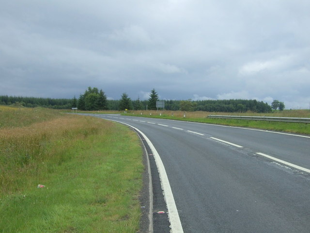
Cairds Hill Images
Images are sourced within 2km of 57.510133/-2.9599811 or Grid Reference NJ4247. Thanks to Geograph Open Source API. All images are credited.
Cairds Hill is located at Grid Ref: NJ4247 (Lat: 57.510133, Lng: -2.9599811)
Unitary Authority: Moray
Police Authority: North East
What 3 Words
///blogs.marmalade.scraper. Near Keith, Moray
Nearby Locations
Related Wikis

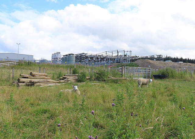
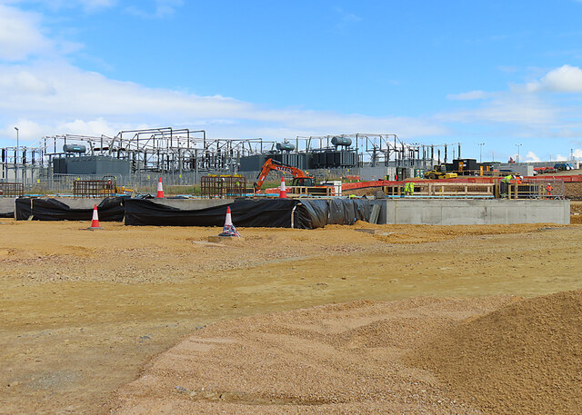
Blackhillock Substation
Blackhillock Substation is an electrical substation located in the north east of Scotland, near the town of Keith in Moray. It is owned and operated by...

Mill of Towie
The Mill of Towie is a nineteenth-century mill building, with an attached kiln, situated close the River Isla, approximately 2 miles (3.2 km) south of...

Pitlurg Castle
Pitlurg Castle was a 16th-century keep, about 3.5 miles (5.6 km) south of Keith, Banffshire, Scotland, north of the Burn of Davidston, at Mains of Pitlurg...

Auchindachy railway station
Auchindachy railway station served the village of Auchindachy in Scotland. Served by the Keith and Dufftown railway, it was the last station before Keith...

St Thomas's Church, Keith
St Thomas's Church is a Roman Catholic church in Keith, in Moray, Scotland. It is a cruciform building, exhibiting features of neoclassical and baroque...

Strathmill distillery
Strathmill distillery is one of three distilleries within the Moray town of Keith at the heart of "Malt Whisky Country". Unlike Keith's other two distilleries...

Towiemore Halt railway station
Towiemore Halt railway station served the hamlet of Towiemore and its distillery as a private and later as a public halt in Moray, Scotland, from 1937...

Kynoch Park
Kynoch Park is a football ground in Keith in north-east Scotland, which is the home ground of Highland Football League side Keith F.C. It is located on...
Nearby Amenities
Located within 500m of 57.510133,-2.9599811Have you been to Cairds Hill?
Leave your review of Cairds Hill below (or comments, questions and feedback).