Hyde Heath

Settlement in Buckinghamshire

England

Hyde Heath

Fullers Hill, Chesham
Fullers Hill, Chesham Credit: David Howard

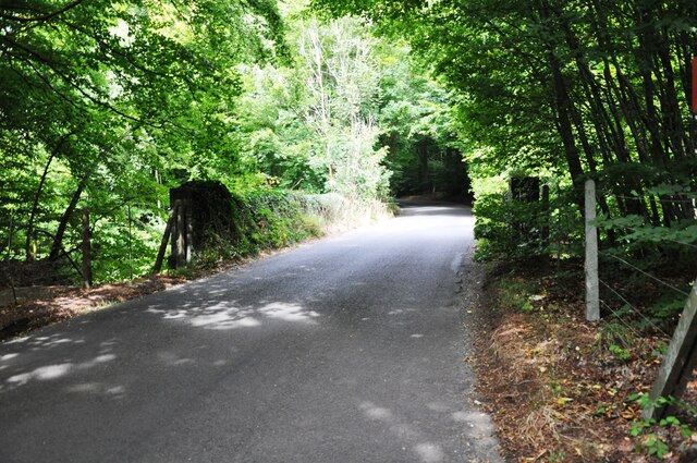
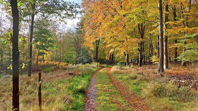
Hyde Heath is a picturesque village located in the county of Buckinghamshire, England. Situated approximately three miles southeast of Great Missenden, it is nestled within the Chiltern Hills, an area renowned for its natural beauty and scenic landscapes.

With a population of around 600 residents, Hyde Heath exudes a sense of tranquility and offers a peaceful retreat from the bustling urban environment. The village is characterized by its charming cottages, many of which date back to the 17th and 18th centuries, showcasing the traditional architectural style of the region.

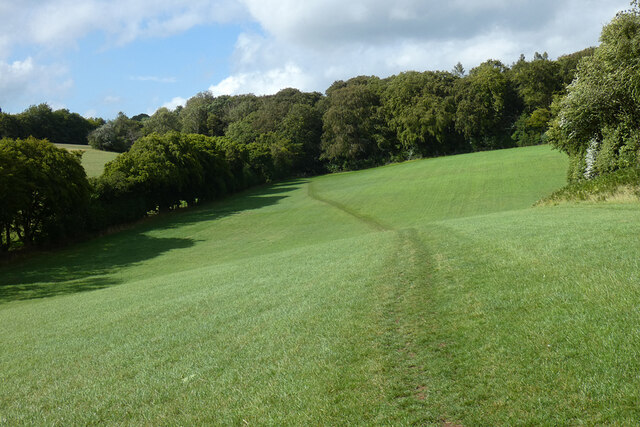
The heart of the village is the Hyde Heath Common, a vast green space that serves as a focal point for community activities and events. Surrounded by ancient woodlands, the common provides an ideal spot for leisurely walks, picnics, and recreational activities. It also hosts the annual Hyde Heath Village Fete, a popular event that attracts visitors from near and far.

Hyde Heath boasts a close-knit community with a strong sense of pride in their village. The local primary school, Hyde Heath Infant School, plays a central role in the community, providing education to children in the area.

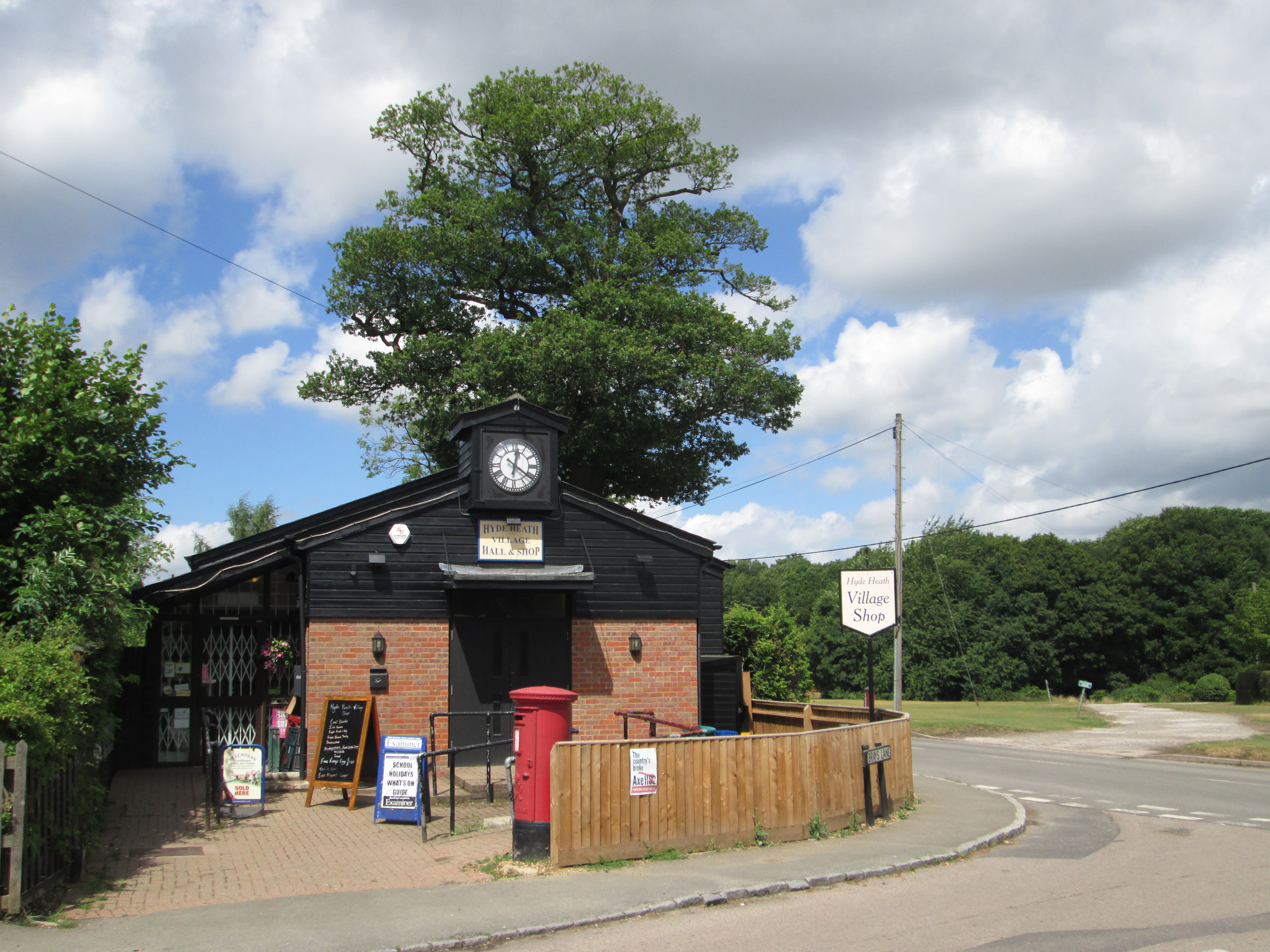
For amenities, the village is well-served by The Plough, a traditional pub that offers a warm and welcoming atmosphere, as well as a range of delicious food and drinks.

Overall, Hyde Heath offers a peaceful and idyllic setting, making it a desirable place to reside for those seeking a rural lifestyle with easy access to the surrounding towns and cities.

If you have any feedback on the listing, please let us know in the comments section below.
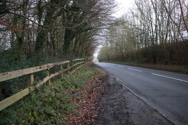
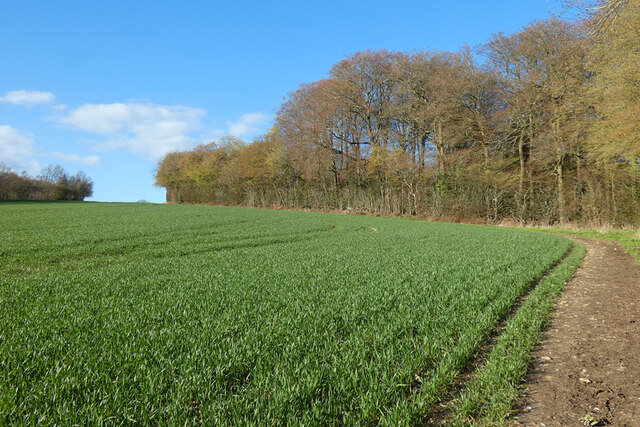
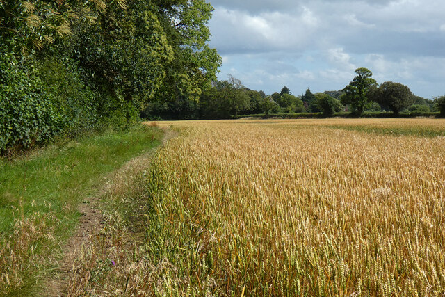
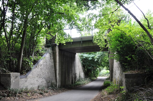
Hyde Heath Images

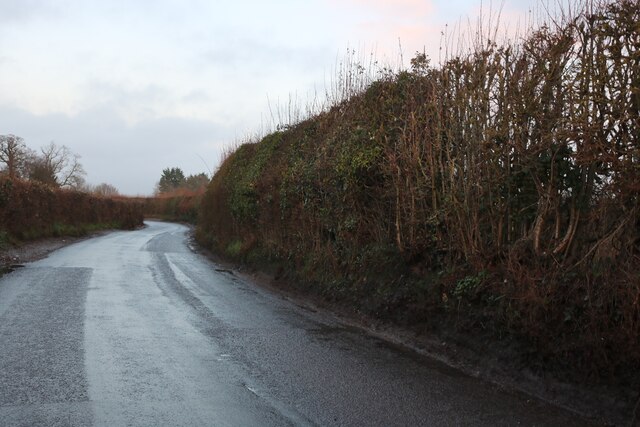
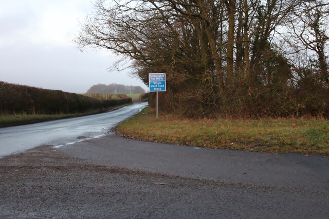
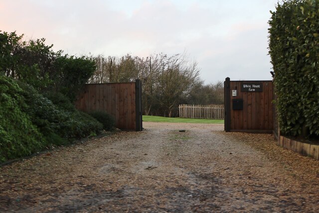
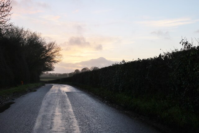
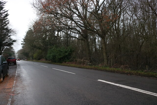
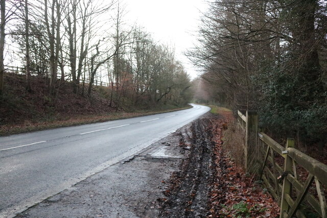
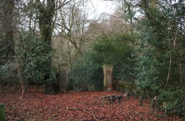
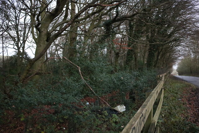
Images are sourced within 2km of 51.693201/-0.650826 or Grid Reference SP9300. Thanks to Geograph Open Source API. All images are credited.

Fullers Hill, Chesham
Fullers Lane at the junction of Copperkins Lane
The entrance to White House Farm, Chesham
Fullers Hill, Chesham
Chesham Road, Hyde End
Chesham Road, Hundridge
Gate in Devil's Den, Hundridge It hasn't been used for a long time as a tree has grown across it.
Gate in Devil's Den, Hundridge
It hasn't been used for a long time as a tree has grown across it.
Devil's Den, Hundridge
Chesham Road, Hundridge
Farmland, Little Missenden A footpath follows the western edge of Mantle's Wood.
Farmland, Little Missenden
A footpath follows the western edge of Mantle's Wood.
Farmland, Chartridge A footpath descends through wheat, approaching the buildings at Lower Hundridge Farm.
Farmland, Chartridge
A footpath descends through wheat, approaching the buildings at Lower Hundridge Farm.
Farmland, Little Missenden Wheat to the north-west of Hyde Heath.
Farmland, Little Missenden
Wheat to the north-west of Hyde Heath.
Chalk Lane railway bridge This bridge carries the ex Metropolitan Railway & Great Central Railway Joint line north from Amersham towards Great Missenden.
Chalk Lane railway bridge
This bridge carries the ex Metropolitan Railway & Great Central Railway Joint line north from Amersham towards Great Missenden.
Railway bridge near Pipers Wood The overgrown parapets of Bridge No.117 near Pipers Wood.  The line from Amersham to Aylesbury passes beneath.
Railway bridge near Pipers Wood
The overgrown parapets of Bridge No.117 near Pipers Wood. The line from Amersham to Aylesbury passes beneath.
Pasture, Little Missenden A footpath approaches the north-western part of Bray's Wood.
Pasture, Little Missenden
A footpath approaches the north-western part of Bray's Wood.
Farmland, Amersham Wheat beside the start of a footpath at Weedonhill Farm.
Farmland, Amersham
Wheat beside the start of a footpath at Weedonhill Farm.
Farmland, Amersham Wheat in a dry valley  below the railway and with Ostler's Wood to the right.
Farmland, Amersham
Wheat in a dry valley below the railway and with Ostler's Wood to the right.
Ash Grove
Ash Grove
Show me another place!

Hyde Heath is located at Grid Ref: SP9300 (Lat: 51.693201, Lng: -0.650826)

Unitary Authority: Buckinghamshire

Police Authority: Thames Valley

What 3 Words

///live.motor.butter. Near Hyde Heath, Buckinghamshire

Related Wikis

Hyde Heath

Hyde Heath is a village in the civil parish of Little Missenden, in the Buckinghamshire district of the ceremonial county of Buckinghamshire, England....

Hyde House, Buckinghamshire

Hyde House is a Grade II listed early 18th-century country house near Hyde Heath in Buckinghamshire, England. It had previously belonged to Woburn Abbey...

Hundridge

Hundridge is a hamlet in the parish of Chartridge, in Buckinghamshire, England. It is located in the Chiltern Hills to the west of the town of Chesham...

Hyde End

Hyde End is a small hamlet, in the civil parish of Great Missenden. it is located between the hamlets of Hyde Heath and South Heath along the B485 road...

Little Missenden

Little Missenden is a village and civil parish on the River Misbourne in Buckinghamshire, England. It is in the Chiltern Hills, about 3 miles (5 km) southeast...

Pednor

Pednor is a hamlet in the parish of Chartridge, in Buckinghamshire, England. It is located in the Chiltern Hills two miles northwest of Chesham and seven...

Shardeloes

Shardeloes is a large 18th-century country house located one mile west of Amersham in Buckinghamshire, England (grid reference SU937978). A previous manor...

Pednor House

Pednor House (formerly known as Little Pednor) is a house near Chartridge parish of Buckinghamshire. It has been listed Grade II on the National Heritage...

Nearby Amenities

Located within 500m of 51.693201,-0.650826
Post Box
Collection Times: Mo-Fr 16:00; Sa 09:15
Description: Just inside the wooden fence of some sort of hall/shop with a clock.
There is a wall box just across the road, in a house at the junction of Weedon Hill and Brays Lane; I assume that is disused/Brays Lane / Hyde Heath Road
Post Box Type: pillar
Ref: HP6 64
Lat/Long: 51.6938518/-0.6547112
Post Box
Collection Times: Mo-Fr 16:00; Sa 08:00
Post Box Type: lamp
Ref: HP6 176
Lat/Long: 51.689865/-0.653559
Pub
The Plough
Food: yes
Lat/Long: 51.6941767/-0.655322
Shop: car_repair
Lat/Long: 51.6943199/-0.6557803
Shop: convenience
Lat/Long: 51.6938831/-0.6548131
Addr City: Amersham
Addr Housename: Candle Trees
Addr Postcode: HP6 5RW
Addr Street: Weedon Hill
Lat/Long: 51.6923594/-0.6535245
Addr City: Amersham
Addr Housename: Mellows
Addr Postcode: HP6 5RW
Addr Street: Weedon Hill
Lat/Long: 51.6922099/-0.6535668
Addr City: Amersham
Addr Housename: April Cottage
Addr Postcode: HP6 5RW
Addr Street: Weedon Hill
Lat/Long: 51.6925233/-0.6525369
Addr City: Amersham
Addr Housename: Culzean
Addr Postcode: HP6 5RW
Addr Street: Weedon Hill
Lat/Long: 51.6921259/-0.652899
rayners (care home)
Lat/Long: 51.6927243/-0.6535499
Power: pole
Source: Bing
Lat/Long: 51.6916821/-0.6573659
Direction: 120
Generator Method: photovoltaic
Generator Output Electricity: yes
Generator Solar Modules: 8
Generator Source: solar
Generator Type: solar_photovoltaic_panel
Location: roof
Power: generator
Lat/Long: 51.6909914/-0.6520409
Direction: 200
Generator Method: photovoltaic
Generator Output Electricity: yes
Generator Solar Modules: 3
Generator Source: solar
Generator Type: solar_photovoltaic_panel
Location: roof
Power: generator
Lat/Long: 51.6907204/-0.6462068
Direction: 110
Generator Method: photovoltaic
Generator Output Electricity: yes
Generator Solar Modules: 3
Generator Source: solar
Generator Type: solar_photovoltaic_panel
Location: roof
Power: generator
Lat/Long: 51.6907302/-0.6461575
Direction: 200
Generator Method: photovoltaic
Generator Output Electricity: yes
Generator Solar Modules: 3
Generator Source: solar
Generator Type: solar_photovoltaic_panel
Location: roof
Power: generator
Lat/Long: 51.6906163/-0.646326
Direction: 200
Generator Method: photovoltaic
Generator Output Electricity: yes
Generator Solar Modules: 5
Generator Source: solar
Generator Type: solar_photovoltaic_panel
Location: roof
Power: generator
Lat/Long: 51.6906317/-0.6462809
Direction: 160
Generator Method: photovoltaic
Generator Output Electricity: yes
Generator Solar Modules: 8
Generator Source: solar
Generator Type: solar_photovoltaic_panel
Location: roof
Power: generator
Lat/Long: 51.6923043/-0.6552491
Hyde Heath
Place: village
Postal Code: HP6 5RW
Wikidata: Q5953544
Lat/Long: 51.6917134/-0.652275
The data included in this document is from www.openstreetmap.org. The data is made available under ODbL.

Have you been to Hyde Heath?

Leave your review of Hyde Heath below (or comments, questions and feedback).