Castle Hill
Hill, Mountain in Selkirkshire
Scotland
Castle Hill
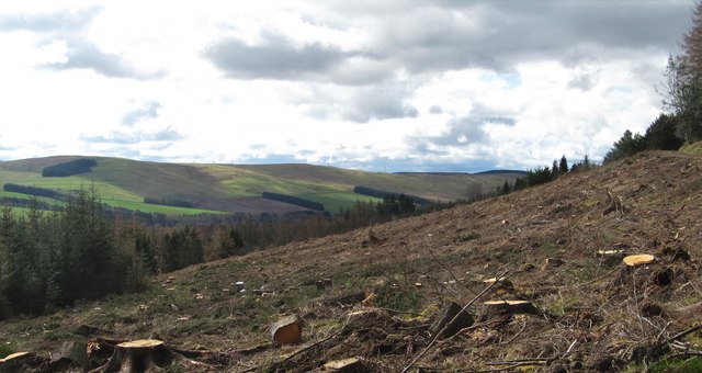
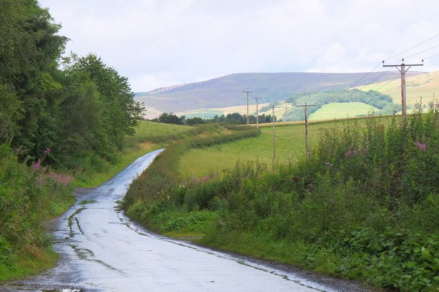
Castle Hill is a prominent hill located in the county of Selkirkshire, in the Scottish Borders region of Scotland. Standing at an elevation of approximately 571 meters (1,873 feet), it dominates the landscape and offers breathtaking panoramic views of the surrounding area.
The hill is known for its historical significance, as it is home to the remains of a Iron Age hillfort, dating back to around 200 BC. The fortification is believed to have been used by ancient Celtic tribes for defensive purposes, and its strategic location on the hilltop provided a commanding view of the surrounding countryside.
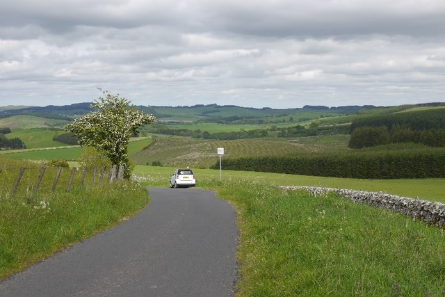
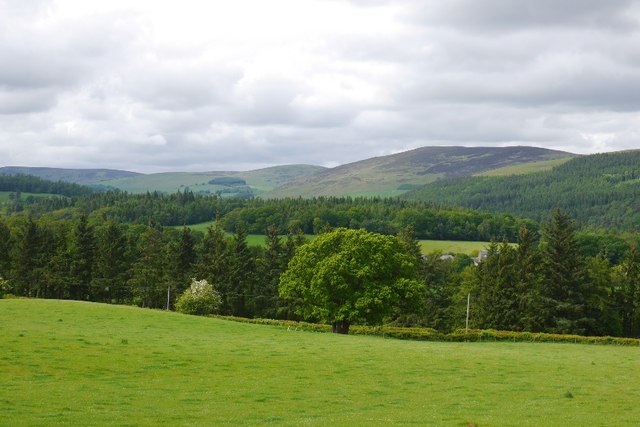
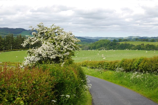
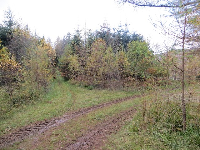
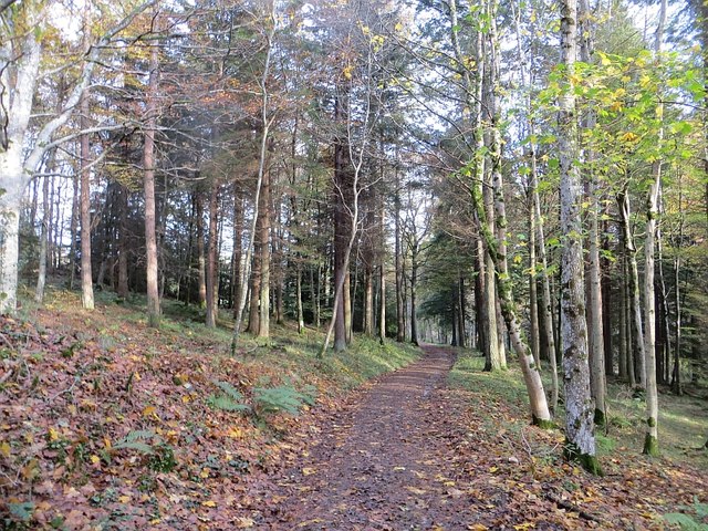
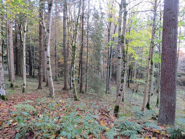
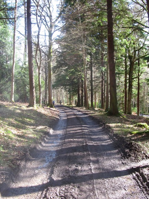
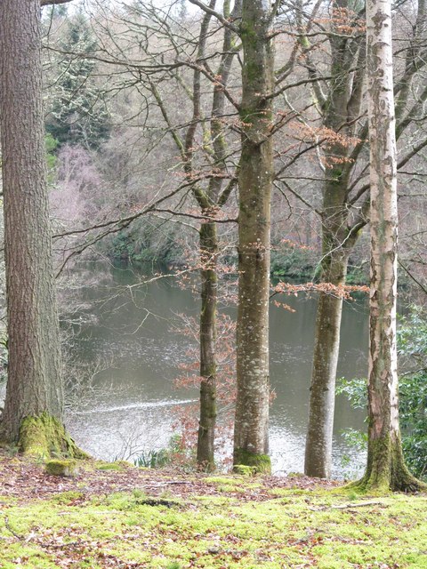
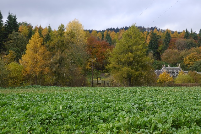
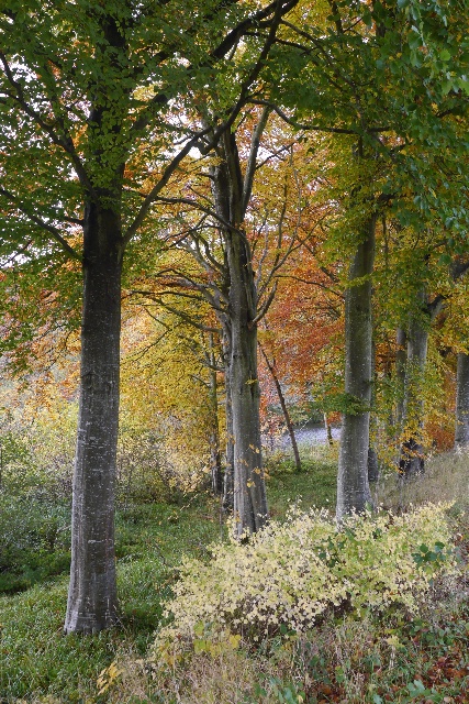
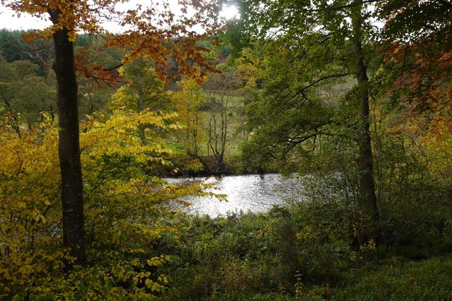
Today, Castle Hill is a popular destination for outdoor enthusiasts and history buffs alike. The hill offers numerous walking trails and paths, allowing visitors to explore the area and enjoy the stunning natural beauty of the Scottish landscape. The summit provides a vantage point to admire the rolling hills, picturesque valleys, and the nearby River Tweed.
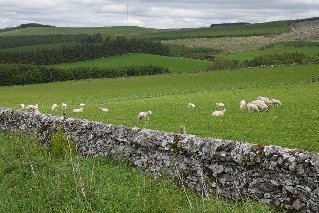
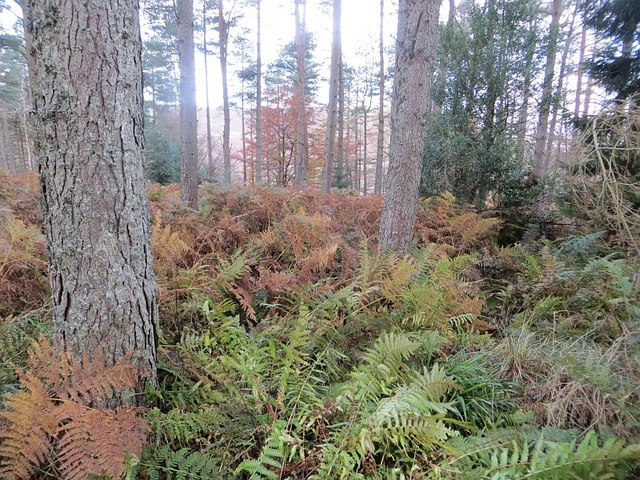
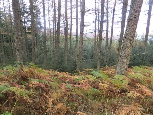
The hill is also renowned for its rich biodiversity, with a variety of plant and animal species calling it home. Visitors may encounter wildlife such as red deer, birds of prey, and rare flora during their exploration of this natural wonder.
Castle Hill holds significant cultural and historical value, making it an important landmark in Selkirkshire. Its combination of natural beauty, ancient ruins, and breathtaking views make it a must-visit destination for those seeking to immerse themselves in Scotland's rich heritage and stunning landscapes.
If you have any feedback on the listing, please let us know in the comments section below.
Castle Hill Images
Images are sourced within 2km of 55.527974/-2.9153219 or Grid Reference NT4226. Thanks to Geograph Open Source API. All images are credited.
Castle Hill is located at Grid Ref: NT4226 (Lat: 55.527974, Lng: -2.9153219)
Unitary Authority: The Scottish Borders
Police Authority: The Lothians and Scottish Borders
What 3 Words
///raven.bossy.touches. Near Selkirk, Scottish Borders
Nearby Locations
Related Wikis

Aikwood Tower
Aikwood Tower (formerly known as Oakwood Tower) is a 16th-century tower house in the Scottish Borders area of Scotland, 4 miles (6 kilometres) southwest...

Bowhill, Scottish Borders
Bowhill is a village off the A708, in the Scottish Borders area of Scotland, near Selkirk, by the Yarrow Water Other places nearby include Bowhill House...

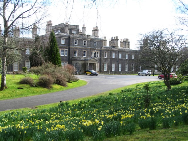
Bowhill House
Bowhill House is a historic house near Bowhill at Selkirk in the Scottish Borders area of Scotland. It is a member of the Historic Houses Association,...

Oakwood Roman Fort and Camp
Oakwood Roman Fort and Camp is a British archaeological site, a Roman fort and nearby Roman camp, about 3.5 miles (5.6 km) south-west of Selkirk in the...

Carterhaugh
Carterhaugh is a wood and farm near the confluence of the Yarrow Water and the Ettrick Water near Selkirk in the Scottish Borders. This real location...

Battle of Philiphaugh
The Battle of Philiphaugh was fought on 13 September 1645 during the Wars of the Three Kingdoms near Selkirk in the Scottish Borders. The Royalist army...
Philiphaugh
Philiphaugh is a village by the Yarrow Water, on the outskirts of Selkirk, in the Scottish Borders. Places nearby include Bowhill, Broadmeadows, the Ettrick...

Yarrow Water
The Yarrow Water is a river in the Borders in the south east of Scotland. It is a tributary of the Ettrick Water (itself a tributary of the Tweed) and...
Nearby Amenities
Located within 500m of 55.527974,-2.9153219Have you been to Castle Hill?
Leave your review of Castle Hill below (or comments, questions and feedback).