Black Hill

Hill, Mountain in Cumberland Eden

England

Black Hill

Track at Cocklakes Track at Cocklakes.
Track at Cocklakes Credit: Colin Kinnear

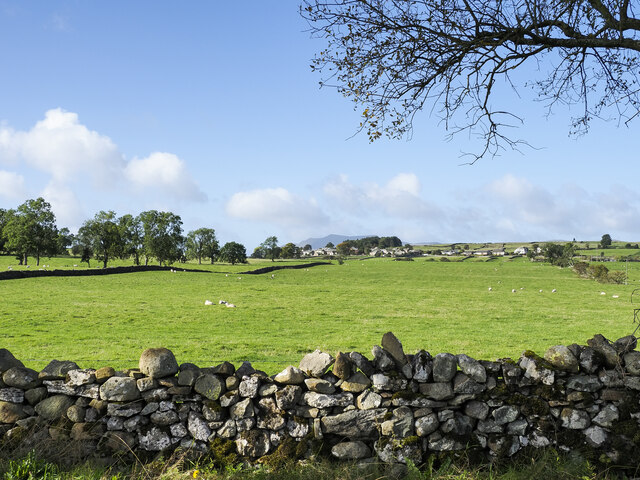
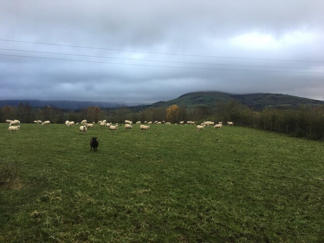
Black Hill is a prominent hill located in the county of Cumberland in northwest England. Standing at an elevation of 582 meters (1,909 feet), it is classified as a hill rather than a mountain. The summit of Black Hill offers breathtaking panoramic views of the surrounding countryside and is a popular destination for hikers and nature enthusiasts.

Situated in the North Pennines Area of Outstanding Natural Beauty, Black Hill is known for its rugged and wild landscape. The hill is characterized by its distinctive black peat bogs, which lend it its name. These bogs are a result of the area's high rainfall and acidic soils, creating a unique habitat for a variety of plant and animal species.

The ascent to the summit of Black Hill can be challenging, as the terrain is uneven and can be boggy in places. However, the effort is rewarded by the stunning views at the top, which stretch across the North Pennines and beyond. On a clear day, it is possible to see as far as the Lake District and the Scottish Borders.

Black Hill is also steeped in history, with evidence of human habitation dating back thousands of years. Archaeological sites, including ancient settlements and burial mounds, can be found on the slopes of the hill, adding to its cultural significance.

Overall, Black Hill is a remarkable natural landmark in Cumberland, offering both a physical challenge and a chance to connect with the region's rich history and natural beauty.

If you have any feedback on the listing, please let us know in the comments section below.
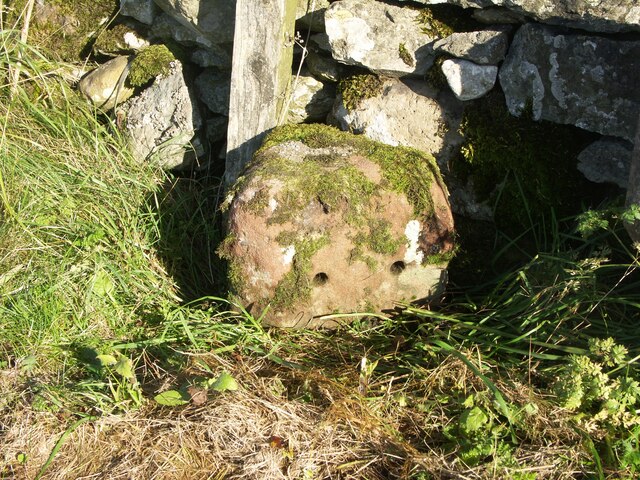
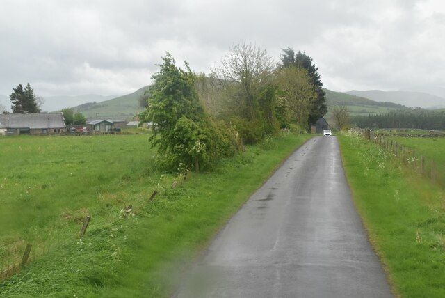
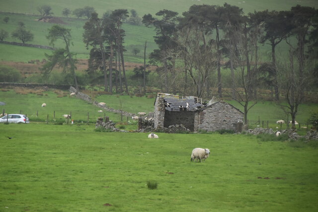
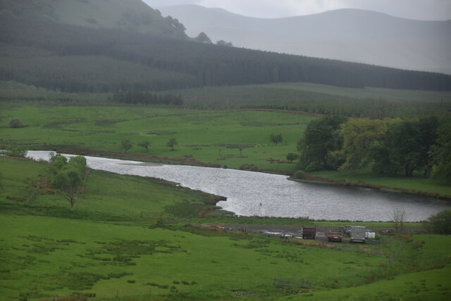
Black Hill Images

Images are sourced within 2km of 54.642981/-2.9010264 or Grid Reference NY4127. Thanks to Geograph Open Source API. All images are credited.

Track at Cocklakes Track at Cocklakes.
Track at Cocklakes
Track at Cocklakes.
Fields with Motherby beyond Agricultural land north of Penruddock.
Part of the summit ridge of Blencathra is visible in the distance.
Fields with Motherby beyond
Agricultural land north of Penruddock. Part of the summit ridge of Blencathra is visible in the distance.
Stream through a field near Troutbeck
Sheep grazing near Penruddock
Trees at field edge near Berrier
Fields with farm roads beside Whitbarrow Village Whitbarrow Village is a holiday development near to Penruddock. The image shows farmland to the east of the main building on the site, the view being to the east.
The hills of the north Pennines are on the horizon.
Fields with farm roads beside Whitbarrow Village
Whitbarrow Village is a holiday development near to Penruddock. The image shows farmland to the east of the main building on the site, the view being to the east. The hills of the north Pennines are on the horizon.
Old Boundary Marker on the B5288 in Motherby Township Boundary Marker on the verge on the southeast side of the B5288 in Motherby, outside Stag Cottage West. Until 1866 this was the boundary of Motherby and Gill and Hutton Soil townships, then Greystoke and Hutton Soil parishes until 1934, then Greystoke and Hutton parishes. Now entirely in Hutton parish. The plate on the south side is now missing. The stone is inscribed MDII (1502 if these are Roman numerals) on the north side.

Milestone Society National ID: CU_HUTT02pb
Old Boundary Marker on the B5288 in Motherby
Township Boundary Marker on the verge on the southeast side of the B5288 in Motherby, outside Stag Cottage West. Until 1866 this was the boundary of Motherby and Gill and Hutton Soil townships, then Greystoke and Hutton Soil parishes until 1934, then Greystoke and Hutton parishes. Now entirely in Hutton parish. The plate on the south side is now missing. The stone is inscribed MDII (1502 if these are Roman numerals) on the north side. Milestone Society National ID: CU_HUTT02pb
Old Boundary Marker near Penruddock Hall Township Boundary Marker on the east side of the minor road south of Motherby, near Penruddock Hall and opposite water troughs. Until 1866 this was the boundary of Motherby and Gill and Hutton Soil townships, then Greystoke and Hutton Soil parishes until 1934, then Greystoke and Hutton parishes. Now entirely in Hutton parish. The plate is now missing. 

Milestone Society National ID: CU_HUTT03pb
Old Boundary Marker near Penruddock Hall
Township Boundary Marker on the east side of the minor road south of Motherby, near Penruddock Hall and opposite water troughs. Until 1866 this was the boundary of Motherby and Gill and Hutton Soil townships, then Greystoke and Hutton Soil parishes until 1934, then Greystoke and Hutton parishes. Now entirely in Hutton parish. The plate is now missing. Milestone Society National ID: CU_HUTT03pb
Minor road near Penruddock
Ruined barn
Ruined barn
Large barn
Large barn
Lake near Cocklakes
Lake near Cocklakes
A66 The A66 is a major road in northern England running from near Middlesbrough to Workington. The section between Scotch Corner and Penrith is a Trans-Pennine route between the A1 and M6, following an old Roman Road.
Wikipedia: <span class="nowrap"><a title="http://en.wikipedia.org/wiki/A66_road" rel="nofollow ugc noopener" href="http://en.wikipedia.org/wiki/A66_road">Link</a><img style="margin-left:2px;" alt="External link" title="External link - shift click to open in new window" src="https://s1.geograph.org.uk/img/external.png" width="10" height="10"/></span>
A66
The A66 is a major road in northern England running from near Middlesbrough to Workington. The section between Scotch Corner and Penrith is a Trans-Pennine route between the A1 and M6, following an old Roman Road. Wikipedia: LinkExternal link
Cocklakes House
Cocklakes House
Rural traffic, A66 The A66 is a major road in northern England running from near Middlesbrough to Workington. The section between Scotch Corner and Penrith is a Trans-Pennine route between the A1 and M6, following an old Roman Road.
Wikipedia: <span class="nowrap"><a title="http://en.wikipedia.org/wiki/A66_road" rel="nofollow ugc noopener" href="http://en.wikipedia.org/wiki/A66_road">Link</a><img style="margin-left:2px;" alt="External link" title="External link - shift click to open in new window" src="https://s1.geograph.org.uk/img/external.png" width="10" height="10"/></span>
Rural traffic, A66
The A66 is a major road in northern England running from near Middlesbrough to Workington. The section between Scotch Corner and Penrith is a Trans-Pennine route between the A1 and M6, following an old Roman Road. Wikipedia: LinkExternal link
A66 looking east The A66 is a major road in northern England running from near Middlesbrough to Workington. The section between Scotch Corner and Penrith is a Trans-Pennine route between the A1 and M6, following an old Roman Road.
Wikipedia: <span class="nowrap"><a title="http://en.wikipedia.org/wiki/A66_road" rel="nofollow ugc noopener" href="http://en.wikipedia.org/wiki/A66_road">Link</a><img style="margin-left:2px;" alt="External link" title="External link - shift click to open in new window" src="https://s1.geograph.org.uk/img/external.png" width="10" height="10"/></span>
A66 looking east
The A66 is a major road in northern England running from near Middlesbrough to Workington. The section between Scotch Corner and Penrith is a Trans-Pennine route between the A1 and M6, following an old Roman Road. Wikipedia: LinkExternal link
Tarn Moss Nature Reserve
Road between A66 and old course of road
Show me another place!

Black Hill is located at Grid Ref: NY4127 (Lat: 54.642981, Lng: -2.9010264)

Administrative County: Cumbria

District: Eden

Police Authority: Cumbria

What 3 Words

///himself.fumes.trembles. Near Penrith, Cumbria

Nearby Locations

Black Hill Beckces

Related Wikis

Beckces

Beckces is a hamlet approximately 800 yards (750 metres) west of Penruddock railway station on the former Cockermouth, Keswick & Penrith Railway within...

Penruddock railway station

Penruddock railway station was situated on the Cockermouth, Keswick and Penrith Railway between Penrith and Cockermouth in Cumberland (now in Cumbria)...
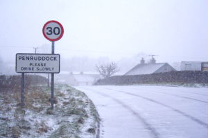
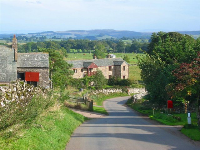
Penruddock

Penruddock is a small village in Cumbria, England, 5.5 miles to the west of Penrith. It forms part of the civil parish of Hutton. == History == The name...

Berrier

Berrier is a hamlet in Cumbria, England. It is in the civil parish of Mungrisdale, which is made up of eight hamlets and had a population of 297 in the...

Nearby Amenities

Located within 500m of 54.642981,-2.9010264
Penruddock
Abandoned Railway: station
Railway: site
Wikidata: Q15265923
Lat/Long: 54.6435146/-2.893558
Bus Stop
Beckces (S bound)
Bench: no
Covered: no
Local Ref: AT
Naptan AtcoCode: 090074311411
Naptan Bearing: S
Naptan CommonName: Beckces (S bound)
Naptan Indicator: at
Naptan Landmark: Beckces near Penruddock
Naptan NaptanCode: cumdamaj
Naptan Street: B5288
Naptan Verified: no
Shelter: no
Source: naptan_import
Lat/Long: 54.6408768/-2.905175
Bus Stop
Beckces
Local Ref: AT
Naptan AtcoCode: 090074311412
Naptan Bearing: N
Naptan CommonName: Beckces
Naptan Indicator: at
Naptan Landmark: Beckces near Penruddock
Naptan NaptanCode: cumdamam
Naptan Street: B5288
Naptan Verified: no
Source: naptan_import
Lat/Long: 54.6415248/-2.9050654
Turning Circle
Lat/Long: 54.6438048/-2.8939306
Parking
Lat/Long: 54.6419836/-2.9025485
Beckses
Place: hamlet
Lat/Long: 54.6411881/-2.9038066
Direction: SSE
Generator Method: photovoltaic
Generator Output Electricity: yes
Generator Source: solar
Generator Type: solar_photovoltaic_panel
Location: roof
Power: generator
Lat/Long: 54.644687/-2.8938605
Power: pole
Lat/Long: 54.6456888/-2.9065846
Power: pole
Lat/Long: 54.6453729/-2.9052394
Power: pole
Lat/Long: 54.638956/-2.9042007
Give Way
Direction: forward
Lat/Long: 54.6422071/-2.9046368
Give Way
Direction: forward
Lat/Long: 54.6420552/-2.9020118
Give Way
Direction: backward
Lat/Long: 54.6421091/-2.9029717
Give Way
Direction: forward
Lat/Long: 54.6398913/-2.9058758
The data included in this document is from www.openstreetmap.org. The data is made available under ODbL.

Have you been to Black Hill?

Leave your review of Black Hill below (or comments, questions and feedback).