Donald's Hill

Hill, Mountain in Angus

Scotland

Donald's Hill

Glenmoy Farm Glenmoy Farm in the early morning light, from the end of the public road up the glen.
Glenmoy Farm Credit: Scott Cormie

The requested URL returned error: 429 Too Many Requests

If you have any feedback on the listing, please let us know in the comments section below.

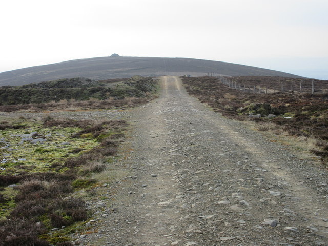
Donald's Hill Images

Images are sourced within 2km of 56.773461/-2.9605122 or Grid Reference NO4165. Thanks to Geograph Open Source API. All images are credited.

Glenmoy Farm Glenmoy Farm in the early morning light, from the end of the public road up the glen.
Glenmoy Farm
Glenmoy Farm in the early morning light, from the end of the public road up the glen.
Sun on Donald's Hill Early morning sunshine on Donald's Hill viewed from the east.
Sun on Donald's Hill
Early morning sunshine on Donald's Hill viewed from the east.
Naked Tam Faint straight path heading over Naked Tam.
Naked Tam
Faint straight path heading over Naked Tam.
Heading to St.Arnold's Seat The track from Naked Tam heading for the cairn on St.Arnold's Seat.
Heading to St.Arnold's Seat
The track from Naked Tam heading for the cairn on St.Arnold's Seat.
Lonely track The track heading from Baikies to Buckies.
Lonely track
The track heading from Baikies to Buckies.
The ruin of Buckies What's left of the buildings at Buckies.
The ruin of Buckies
What's left of the buildings at Buckies.
Derelict cottage in Glenmoy The derelict cottage at Sheriffpark in Glenmoy, with Shank Hill beyond.
Derelict cottage in Glenmoy
The derelict cottage at Sheriffpark in Glenmoy, with Shank Hill beyond.
Ruin at Shank The shell of the old farmstead at Shank.
Ruin at Shank
The shell of the old farmstead at Shank.
Buckies from Clashencake Buckies in the distance.
Buckies from Clashencake
Buckies in the distance.
Shallgreen track Improved track between Rashiebog and Shallgreen in Glenquiech
Shallgreen track
Improved track between Rashiebog and Shallgreen in Glenquiech
The track leading to The Shank Old ruined farm at the head of Glen Moy. The Shank refers to the hill north of the ruins. It is also known as Badhappies.
The track leading to The Shank
Old ruined farm at the head of Glen Moy. The Shank refers to the hill north of the ruins. It is also known as Badhappies.
The Shank Ruined farm house. According to the 1866 OS map the building was used as a shooting lodge.
The Shank
Ruined farm house. According to the 1866 OS map the building was used as a shooting lodge.
The Shank Showing the ruined byre (left) and ruined dwelling.
The Shank
Showing the ruined byre (left) and ruined dwelling.
Little Benscreavie Ghastly low contrast moorland on a dreich morning in Glen Moy. It looks so much more pleasant in the other sunny shots.
Little Benscreavie
Ghastly low contrast moorland on a dreich morning in Glen Moy. It looks so much more pleasant in the other sunny shots.
Bridge, Glen Moy Crossing the Burn of Glenmoye burn near the end of the public road. There are the remains of an old road sign on the far side.
Bridge, Glen Moy
Crossing the Burn of Glenmoye burn near the end of the public road. There are the remains of an old road sign on the far side.
Old road sign, Glen Moy So tempting to paint S P Q R on it.  The sign is well rusted and illegible now.
Old road sign, Glen Moy
So tempting to paint S P Q R on it. The sign is well rusted and illegible now.
Moorland, Glen Moy Looking over the grouse moors in Glen Moy towards Craigthran. There is a straight dyke running down from Craigthran.
Moorland, Glen Moy
Looking over the grouse moors in Glen Moy towards Craigthran. There is a straight dyke running down from Craigthran.
Shank The ruined byre at Shank, one of many abandoned farms on the moors here. The building has deteriorated considerably in the last few years: <a href="https://www.geograph.org.uk/photo/423806">NO4066 : The ruined farmstead of Shank.</a>
Shank
The ruined byre at Shank, one of many abandoned farms on the moors here. The building has deteriorated considerably in the last few years: NO4066 : The ruined farmstead of Shank.
Show me another place!

Donald's Hill is located at Grid Ref: NO4165 (Lat: 56.773461, Lng: -2.9605122)

Unitary Authority: Angus

Police Authority: Tayside

What 3 Words

///limelight.liner.flame. Near Kirriemuir, Angus

Nearby Locations

Donald's Hill

Related Wikis

Angus (UK Parliament constituency)

Angus is a county constituency of the House of Commons of the Parliament of the United Kingdom (at Westminster). It elects one Member of Parliament (MP...

Auchnacree

Auchnacree is an estate in Angus, Scotland, five miles north of Forfar.In 1921 the estate overseer, Mr Frank Rae, discovered what is now called the Auchnacree...

Cortachy

Cortachy is a village in Angus, Scotland. It lies in at the mouth of Glen Clova, on the River South Esk, four miles north of Kirriemuir. Nearby lies Cortachy...

Cortachy Castle

Cortachy Castle is a castellated mansion House at Cortachy, Angus, Scotland, some four miles north of Kirriemuir. The present building dates from the 15th...

Nearby Amenities

Located within 500m of 56.773461,-2.9605122
Donald's Hill
Ele: 422
Natural: peak
Lat/Long: 56.7737054/-2.9608115
The data included in this document is from www.openstreetmap.org. The data is made available under ODbL.

Have you been to Donald's Hill?

Leave your review of Donald's Hill below (or comments, questions and feedback).