Newark Hill

Hill, Mountain in Selkirkshire

Scotland

Newark Hill

Track at Old Tinnis The track follows Lewenshope Burn.
Track at Old Tinnis Credit: Mary and Angus Hogg

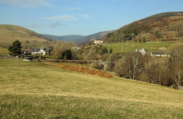
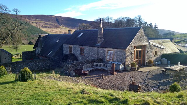
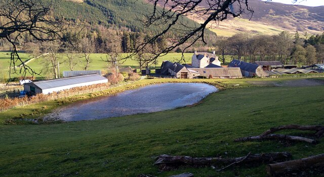
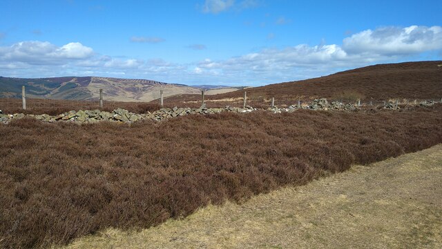
Newark Hill is a prominent hill located in the historic county of Selkirkshire, Scotland. Situated in the southern part of the county, it forms a part of the picturesque landscape of the Scottish Borders. Standing at an elevation of approximately 437 meters (1,433 feet), it offers breathtaking panoramic views of the surrounding countryside.

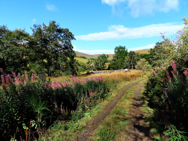
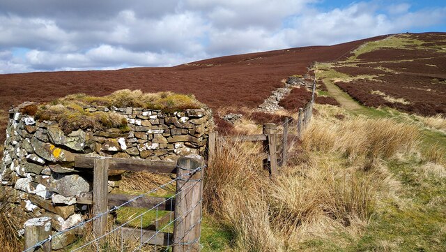
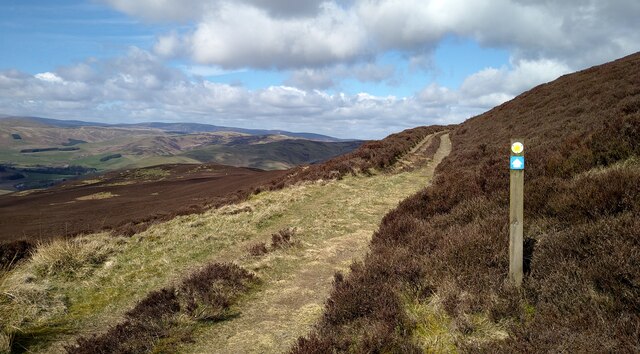
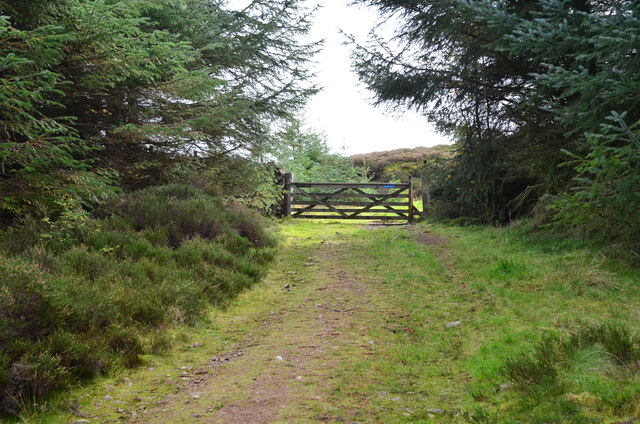
The hill is characterized by its gently sloping sides and is covered in lush green grasses and scattered with heather and bracken. It is a popular destination for outdoor enthusiasts and nature lovers, who are drawn to its tranquil beauty and the opportunity to explore its diverse flora and fauna.

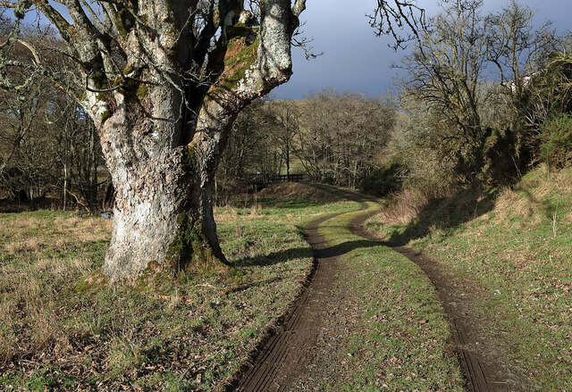
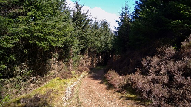
Newark Hill is easily accessible via well-maintained footpaths, making it a favorite spot for hikers and walkers. The summit provides a vantage point from which visitors can admire the sweeping vistas of the rolling hills, meandering rivers, and quaint villages that dot the Selkirkshire countryside.

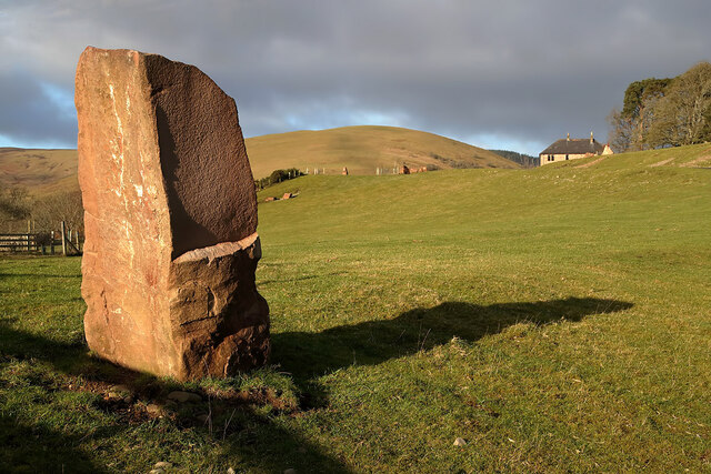
The hill is also of historical significance, with the remains of an ancient fort or settlement visible on its slopes. This archaeological site adds an element of intrigue and fascination to the area, attracting those with an interest in Scotland's rich past.

Overall, Newark Hill is a captivating natural landmark in Selkirkshire, offering both recreational and historical value. Its beauty and tranquility make it a cherished destination for locals and tourists alike, providing a perfect escape from the bustle of everyday life.

If you have any feedback on the listing, please let us know in the comments section below.

Newark Hill Images

Images are sourced within 2km of 55.54828/-2.9439907 or Grid Reference NT4028. Thanks to Geograph Open Source API. All images are credited.

Track at Old Tinnis The track follows Lewenshope Burn.
Track at Old Tinnis
The track follows Lewenshope Burn.
A grazing field at Old Tinnis Some large stones have been positioned around the field.
A grazing field at Old Tinnis
Some large stones have been positioned around the field.
An access track at Old Tinnis
A grazing field at Old Tinnis Old Hill is on the left and Lewenshope Rig is on the right.
A grazing field at Old Tinnis
Old Hill is on the left and Lewenshope Rig is on the right.
The Mill at Lewenshope The Mill is a beautifully converted former water mill and now available for holiday rent (I'm a happy customer - not the owner!).
The Mill at Lewenshope
The Mill is a beautifully converted former water mill and now available for holiday rent (I'm a happy customer - not the owner!).
Buildings at Lewenshope This includes the former mill, now converted as a holiday let.
Buildings at Lewenshope
This includes the former mill, now converted as a holiday let.
Well constructed butts by the Duchess's Drive This pleasant 7.5 mile walk follows the route of a Victorian carriage drive. Underfoot conditions are excellent, on good tracks and paths.
Well constructed butts by the Duchess's Drive
This pleasant 7.5 mile walk follows the route of a Victorian carriage drive. Underfoot conditions are excellent, on good tracks and paths.
On the Duchess's Drive, Bowhill This pleasant 7.5 mile walk follows the route of a Victorian carriage drive. Underfoot conditions are excellent, on good tracks and paths.  There is good waymarking too.
On the Duchess's Drive, Bowhill
This pleasant 7.5 mile walk follows the route of a Victorian carriage drive. Underfoot conditions are excellent, on good tracks and paths. There is good waymarking too.
On the Duchess's Drive, Bowhill This pleasant 7.5 mile walk follows the route of a Victorian carriage drive. Underfoot conditions are excellent, on good tracks and paths.
On the Duchess's Drive, Bowhill
This pleasant 7.5 mile walk follows the route of a Victorian carriage drive. Underfoot conditions are excellent, on good tracks and paths.
On the Duchess's Drive, in Black Andrew Wood This pleasant 7.5 mile walk follows the route of a Victorian carriage drive. Underfoot conditions are excellent, on good tracks and paths.
On the Duchess's Drive, in Black Andrew Wood
This pleasant 7.5 mile walk follows the route of a Victorian carriage drive. Underfoot conditions are excellent, on good tracks and paths.
A low level RAF Hercules in the Yarrow Valley There was a low flying slot between 19.00 and 21.00 and I was lucky enough to catch at 20.45 in lovely evening light Hercules ZH867 from Tinnis Top. This was my last low level Hercules as the RAF will retire this aircraft type at the end of June 2023. A farewell flypast tour of the UK with a three-ship of Hercules aircraft was held on 14/06/2023.
A low level RAF Hercules in the Yarrow Valley
There was a low flying slot between 19.00 and 21.00 and I was lucky enough to catch at 20.45 in lovely evening light Hercules ZH867 from Tinnis Top. This was my last low level Hercules as the RAF will retire this aircraft type at the end of June 2023. A farewell flypast tour of the UK with a three-ship of Hercules aircraft was held on 14/06/2023.
Gate at the top of Black Andrew Wood Here the Duchess's Drive emerges on to the moorland of Newark Hill for a high-level route around Fastheugh Hill before descending to Bowhill.
Gate at the top of Black Andrew Wood
Here the Duchess's Drive emerges on to the moorland of Newark Hill for a high-level route around Fastheugh Hill before descending to Bowhill.
Valley of the Newark Burn, Bowhill Estate The valley between Fastheugh Hill and Fauldshope Hill with the plantations around Bowhill in the middle distance and the Eildon Hills L of centre.
Valley of the Newark Burn, Bowhill Estate
The valley between Fastheugh Hill and Fauldshope Hill with the plantations around Bowhill in the middle distance and the Eildon Hills L of centre.
Grouse Butts on Duchess's Drive Newly rebuilt grouse butts.
Grouse Butts on Duchess's Drive
Newly rebuilt grouse butts.
Grouse Butt New grouse butt with gates for easy access.
Grouse Butt
New grouse butt with gates for easy access.
Yarrow valley from the slopes of Fastheugh Hill A view down from the Duchess's Drive with Tinnis Farm just R of centre.
Yarrow valley from the slopes of Fastheugh Hill
A view down from the Duchess's Drive with Tinnis Farm just R of centre.
Duchess's Drive on Fastheugh Hill After a gentle ascent the track contours the hill before swinging S below the summit. Compare with <a href="https://www.geograph.org.uk/photo/1646867">NT3927 : Waymarkers on the Duchess's Drive</a> showing the hillside under deep snow.
Duchess's Drive on Fastheugh Hill
After a gentle ascent the track contours the hill before swinging S below the summit. Compare with NT3927 : Waymarkers on the Duchess's Drive showing the hillside under deep snow.
Show me another place!

Newark Hill is located at Grid Ref: NT4028 (Lat: 55.54828, Lng: -2.9439907)

Unitary Authority: The Scottish Borders

Police Authority: The Lothians and Scottish Borders

What 3 Words

///snoozing.headstone.drag. Near Selkirk, Scottish Borders

Nearby Locations

Newark Hill

Related Wikis

Yarrowford

Yarrowford is a village on the A708, in the Scottish Borders area of Scotland, 4 miles north-west of Selkirk, in the Ettrick Forest. The Yarrow Water flows...

Newark Castle, Selkirkshire

Newark Tower is a large, ruined tower house standing in the grounds of Bowhill House, in the valley of the Yarrow Water three miles west of Selkirk in...

Broadmeadows, Scottish Borders

Broadmeadows is a village in the Scottish Borders area of Scotland, on the A708 near Selkirk. Places nearby include Boleside, Bowhill, Caddonfoot, Ettrickbridge...

Yarrow Water

The Yarrow Water is a river in the Borders in the south east of Scotland. It is a tributary of the Ettrick Water (itself a tributary of the Tweed) and...

Nearby Amenities

Located within 500m of 55.54828,-2.9439907
Newark Hill
Natural: peak
Lat/Long: 55.5483016/-2.9433131
The data included in this document is from www.openstreetmap.org. The data is made available under ODbL.

Have you been to Newark Hill?

Leave your review of Newark Hill below (or comments, questions and feedback).