Queen Adelaide's Hill
Hill, Mountain in Westmorland South Lakeland
England
Queen Adelaide's Hill

Queen Adelaide's Hill is a prominent landmark located in the county of Westmorland, England. Situated in the Lake District National Park, this hill stands as a striking geological formation, offering breathtaking views of the surrounding countryside.
Rising to an elevation of approximately 736 meters (2,415 feet), Queen Adelaide's Hill is a prominent peak in the region. Its name is derived from Queen Adelaide, the consort of King William IV, who visited the Lake District in the early 19th century. The hill is also known by its local name, "The Old Man of Coniston," due to its distinctive shape resembling a stooping figure when viewed from certain angles.
The terrain of Queen Adelaide's Hill is characterized by rugged and rocky slopes, covered in heather and grasses. It is a popular destination among hikers, mountaineers, and nature enthusiasts who seek to explore the stunning vistas and challenge themselves on its steep slopes. The ascent to the summit can be demanding, but the reward is an unparalleled panoramic view of the surrounding Lakeland fells, lakes, and valleys.
The hill is also known for its rich biodiversity, with various species of flora and fauna thriving in its diverse habitats. Rare alpine plants can be found dotting the hillside during the spring and summer months, adding vibrant colors to the landscape.
Queen Adelaide's Hill is not only a natural wonder but also holds historical and cultural significance within the local community. Its majestic presence and awe-inspiring views continue to captivate visitors, making it a must-visit destination for those exploring the beauty of Westmorland and the Lake District.
If you have any feedback on the listing, please let us know in the comments section below.
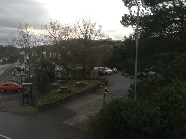
Queen Adelaide's Hill Images
Images are sourced within 2km of 54.38/-2.9196587 or Grid Reference SD4098. Thanks to Geograph Open Source API. All images are credited.


Queen Adelaide's Hill is located at Grid Ref: SD4098 (Lat: 54.38, Lng: -2.9196587)
Administrative County: Cumbria
District: South Lakeland
Police Authority: Cumbria
What 3 Words
///voting.stirs.hexes. Near Windermere, Cumbria
Nearby Locations
Related Wikis
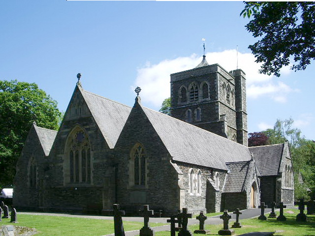
St Mary's Church, Windermere
St Mary's Church is in the town of Windermere, Cumbria, England. It is an active Anglican parish church in the deanery of Windermere, the archdeaconry...

Windermere and Bowness
Windermere and Bowness, formerly just Windermere, is a civil parish in the Westmorland and Furness district, in the ceremonial county of Cumbria, England...
Windermere, Cumbria (town)
Windermere () is a town in the civil parish of Windermere and Bowness, in the Westmorland and Furness district in the ceremonial county of Cumbria, England...
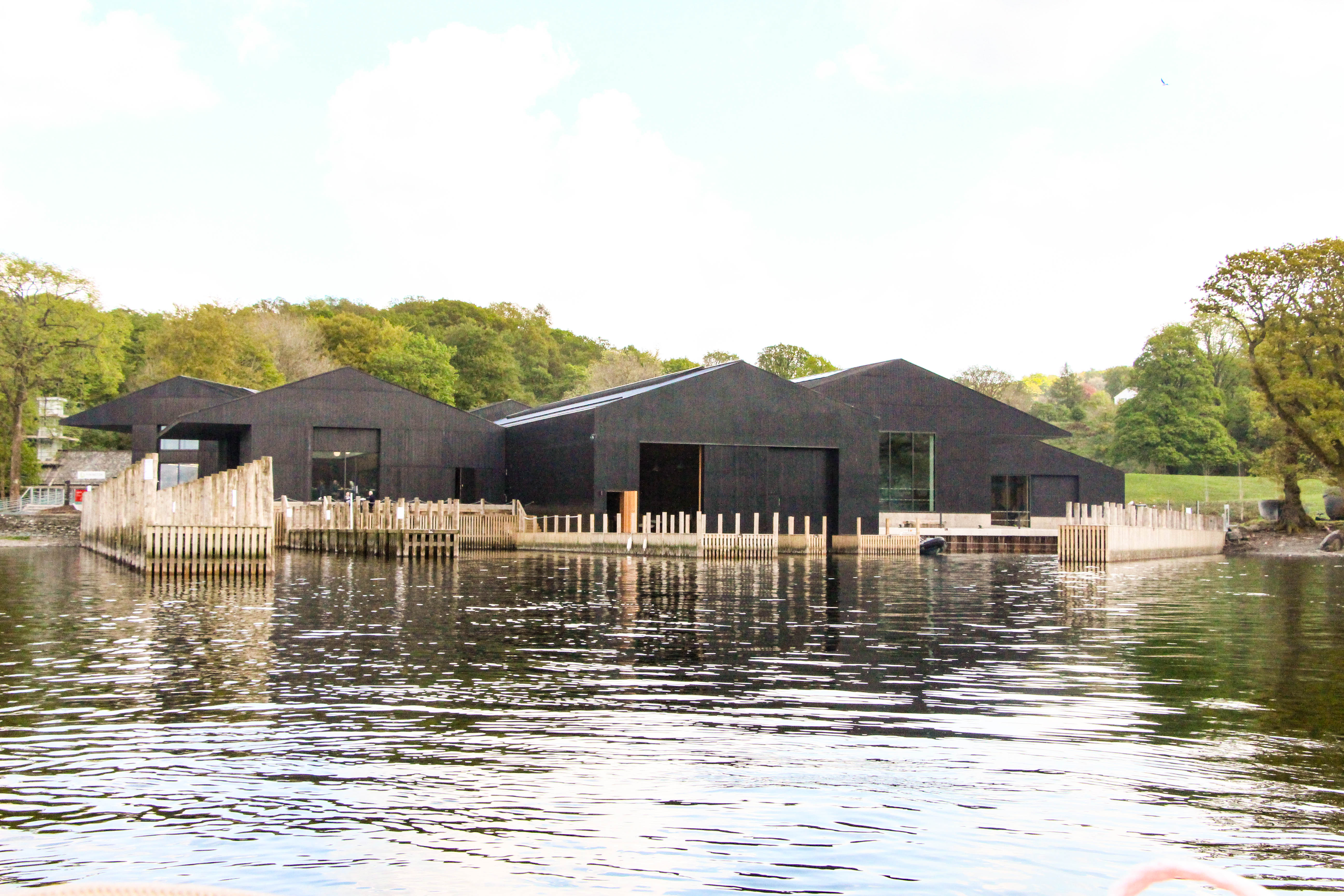
Windermere Jetty: Museum of Boats, Steam and Stories
Windermere Jetty: Museum of Boats, Steam and Stories (formerly Windermere Steamboat Museum) is a museum on the eastern shore of Windermere between Bowness...
Nearby Amenities
Located within 500m of 54.38,-2.9196587Have you been to Queen Adelaide's Hill?
Leave your review of Queen Adelaide's Hill below (or comments, questions and feedback).