Lach na Gualainn

Hill, Mountain in Aberdeenshire

Scotland

Lach na Gualainn

Looking into Head of Garbh Choire
Looking into Head of Garbh Choire Credit: Gordon Brown

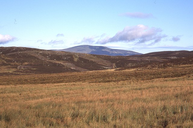
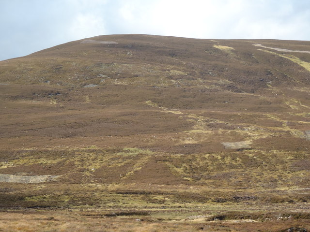
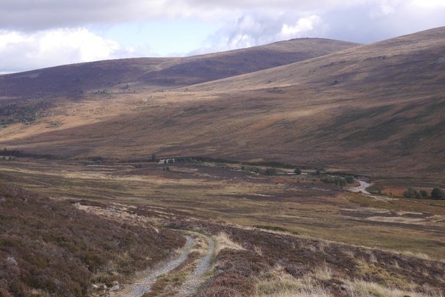
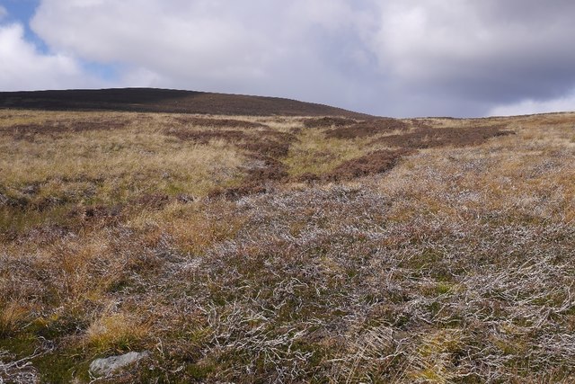
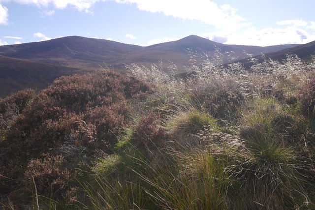
Lach na Gualainn is a prominent hill located in Aberdeenshire, Scotland. Situated in the eastern part of the Cairngorms National Park, it stands at an elevation of approximately 882 meters (2,894 feet) above sea level. The hill is a notable landmark in the area, offering breathtaking views of the surrounding landscape.

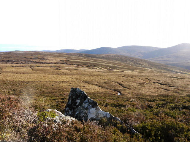
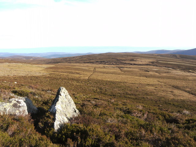
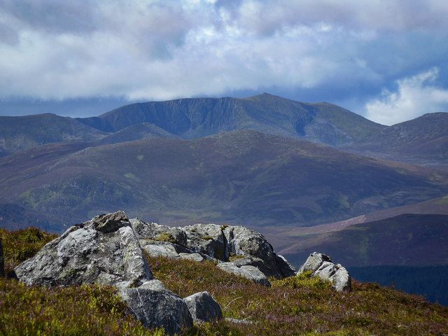
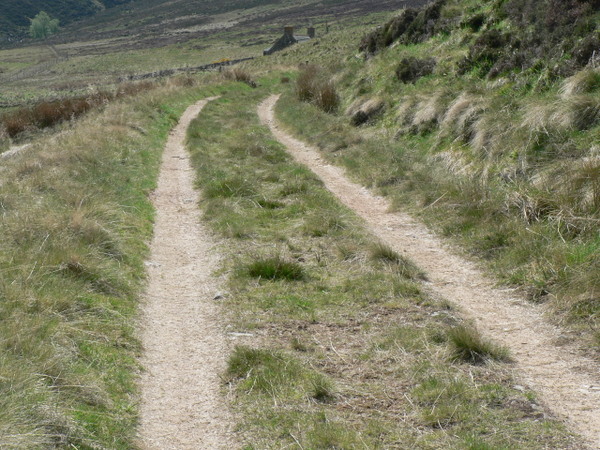
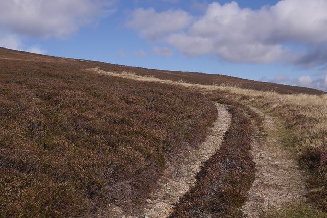
Lach na Gualainn is characterized by its distinctive rocky terrain, with steep slopes and craggy outcrops. It is primarily composed of granite, which gives it a rugged and picturesque appearance. The hill is known for its challenging hiking trails, attracting outdoor enthusiasts and mountaineers who seek to conquer its summit.

The hill is a part of the larger range known as the Cairngorms, which is home to a diverse range of flora and fauna. The area surrounding Lach na Gualainn is characterized by heather moorland, birch woods, and scattered lochs. It provides a habitat for various bird species, including golden eagles and ptarmigans.

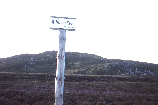
Due to its remote location, Lach na Gualainn offers a tranquil and peaceful environment, away from the hustle and bustle of urban life. It is a popular destination for nature lovers, who can enjoy activities such as hiking, birdwatching, and wildlife spotting.

Overall, Lach na Gualainn is a stunning natural feature of Aberdeenshire, offering visitors a unique opportunity to experience the beauty of the Scottish Highlands while challenging themselves in a rugged and picturesque setting.

If you have any feedback on the listing, please let us know in the comments section below.

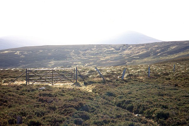
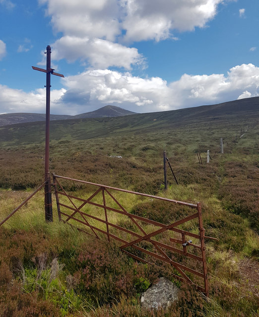
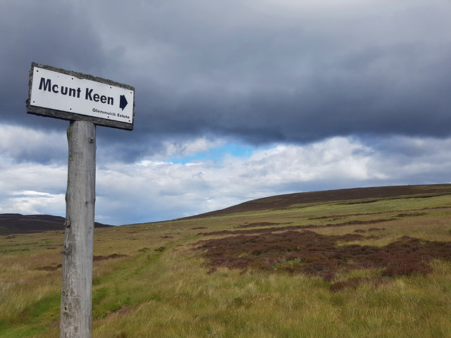
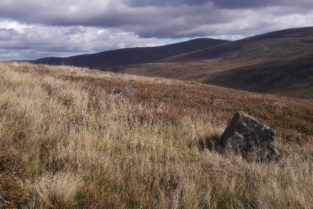
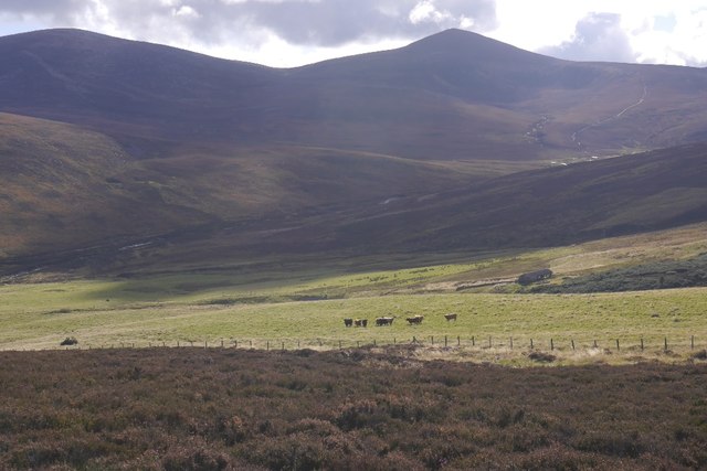
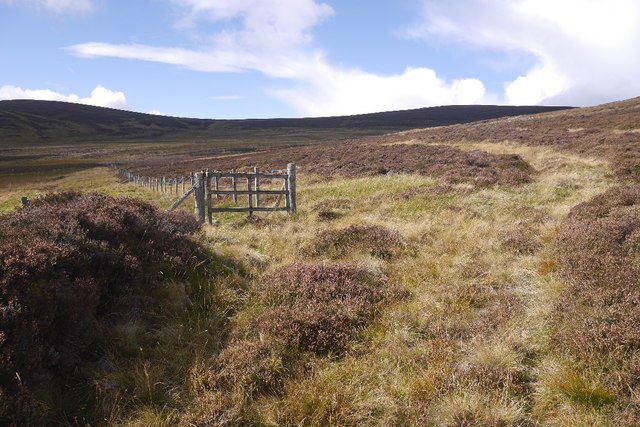
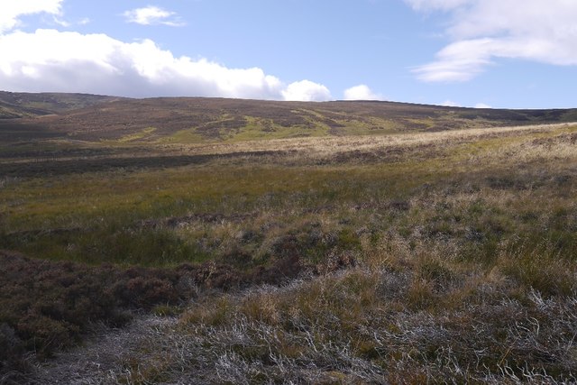
Lach na Gualainn Images

Images are sourced within 2km of 57.013999/-2.9980121 or Grid Reference NO3991. Thanks to Geograph Open Source API. All images are credited.

Looking into Head of Garbh Choire
Looking across to Head of Garbh Choire
Sign, Mount Keen road Helps make sense of the maze of bulldozed roads up here.
Sign, Mount Keen road
Helps make sense of the maze of bulldozed roads up here.
Upper reaches of the Pollagach Burn On the Mount Keen road.
Upper reaches of the Pollagach Burn
On the Mount Keen road.
Fence and gate, Mount Keen road Before the descent into Glen Tanar.
Fence and gate, Mount Keen road
Before the descent into Glen Tanar.
Rocks beside the Cairn Leuchan track The track winds up towards the top of Cairn Leuchan with a scattering of rocks appearing  alongside. Good view of Lochnagar in the background
Rocks beside the Cairn Leuchan track
The track winds up towards the top of Cairn Leuchan with a scattering of rocks appearing alongside. Good view of Lochnagar in the background
Gate and post The gate appears to have acquired a signpost at some point since the last photo was taken many years ago, though this has now fallen into disrepair. I dare say it saw a few storms. The path through here heads on down to Glen Tanar. Mount Keen in the background.
Gate and post
The gate appears to have acquired a signpost at some point since the last photo was taken many years ago, though this has now fallen into disrepair. I dare say it saw a few storms. The path through here heads on down to Glen Tanar. Mount Keen in the background.
Signpost to Mounth Road path The Mounth Road path that heads across to Mount Keen, now leaves the gravel estate tracks and heads on to grass and moorland. it quickly becomes faint, overgrown and easy to lose but some occasional old posts should keep people on the right route.
Signpost to Mounth Road path
The Mounth Road path that heads across to Mount Keen, now leaves the gravel estate tracks and heads on to grass and moorland. it quickly becomes faint, overgrown and easy to lose but some occasional old posts should keep people on the right route.
Heather slopes on the eastern flank of Head of Garbh Choire
Estate tracks This track leads from Greystone to Etnach on the Glen Tanar estate.  The gable end of the abandoned Shepherds cottage can be seen.
Estate tracks
This track leads from Greystone to Etnach on the Glen Tanar estate. The gable end of the abandoned Shepherds cottage can be seen.
Road in Glen Tanar Climbing out of the glen on the way out to the Dee.  Taken above Etnach with a view towards Clachan Yell.
Road in Glen Tanar
Climbing out of the glen on the way out to the Dee. Taken above Etnach with a view towards Clachan Yell.
Track out of Glen Tanar Climbing out of the glen over to the Dee.
Track out of Glen Tanar
Climbing out of the glen over to the Dee.
A view towards Clachan Yell Looking across Glen Tanar from above Etnach.
A view towards Clachan Yell
Looking across Glen Tanar from above Etnach.
Highland cattle, Glen Tanar Mount Keen, road and hill in the background.
Highland cattle, Glen Tanar
Mount Keen, road and hill in the background.
Fence corner, Glen Tanar Above Etnach.
Fence corner, Glen Tanar
Above Etnach.
Coire Meacan Southeastern side of Knockie Branar, above Glen Tanar.
Coire Meacan
Southeastern side of Knockie Branar, above Glen Tanar.
Moorland above Etnach A muirburn patch from a couple of years earlier.
Moorland above Etnach
A muirburn patch from a couple of years earlier.
Grasses and Mount Keen A tiny piece of NO4091 with heather and grasses.  Mount Keen and Braid Cairn are the background hills.
Grasses and Mount Keen
A tiny piece of NO4091 with heather and grasses. Mount Keen and Braid Cairn are the background hills.
Show me another place!

Lach na Gualainn is located at Grid Ref: NO3991 (Lat: 57.013999, Lng: -2.9980121)

Unitary Authority: Aberdeenshire

Police Authority: North East

What 3 Words

///implanted.pointed.afternoon. Near Ballater, Aberdeenshire

Nearby Locations

Lach na Gualainn

Related Wikis

Kincardine and Deeside

Kincardine and Deeside was formerly (1975–96) a local government district in the Grampian Region of Scotland. In 1996 it was included in the Aberdeenshire...
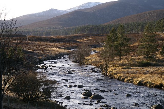
River Muick

River Muick () is a river of the Grampian Mountains of Aberdeenshire, Scotland. A tributary of the River Dee, it flows for about 6 kilometres (3.7 mi)...
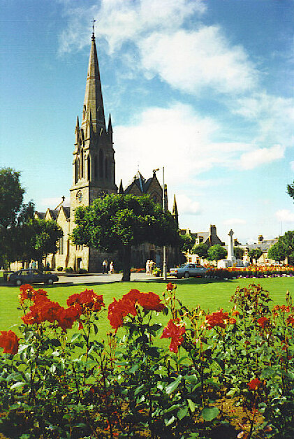
Ballater

Ballater (, Scottish Gaelic: Bealadair) is a village in Aberdeenshire, Scotland, on the River Dee, immediately east of the Cairngorm Mountains. Situated...

Victoria and Albert Halls

The Victoria and Albert Halls is a complex of municipal buildings in Station Square, Ballater, Aberdeenshire, Scotland. The structure, which accommodates...

Have you been to Lach na Gualainn?

Leave your review of Lach na Gualainn below (or comments, questions and feedback).