Comb Hill
Hill, Mountain in Roxburghshire
Scotland
Comb Hill
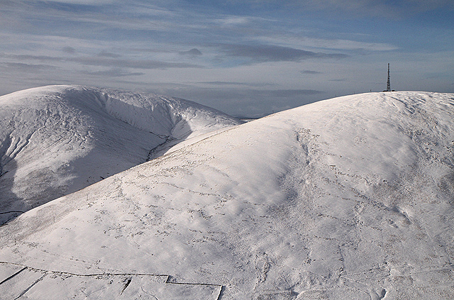
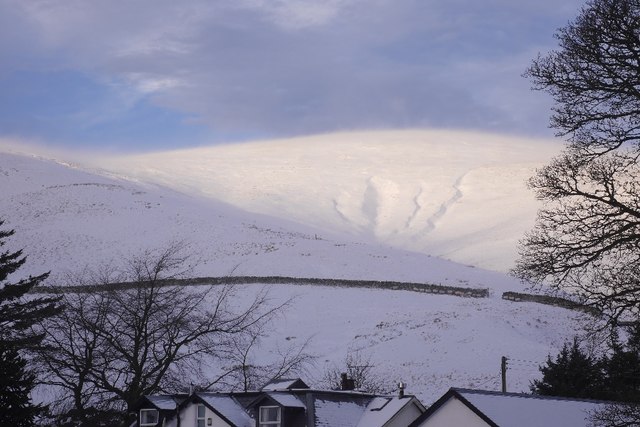
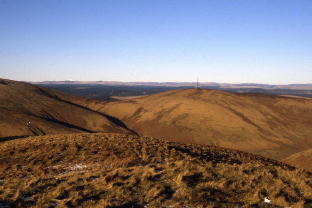
Comb Hill is a prominent hill located in the county of Roxburghshire, in the southeastern part of Scotland. Situated close to the village of Morebattle, it forms part of the Cheviot Hills range. With an elevation of 352 meters (1,155 feet), Comb Hill offers breathtaking panoramic views of the surrounding countryside.
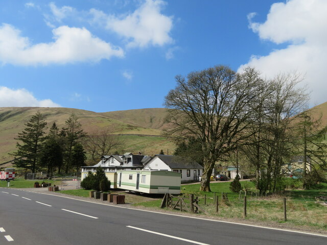
The hill is characterized by its gentle slopes, covered in lush green vegetation, which provide excellent opportunities for hiking and walking enthusiasts. The terrain is relatively easy to navigate, making it suitable for people of all ages and fitness levels. As visitors ascend the hill, they can enjoy the peacefulness and tranquility of the countryside, surrounded by the sounds of nature.
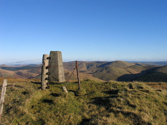
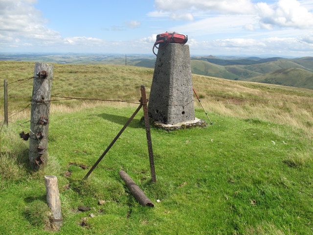
At the summit of Comb Hill, there is a cairn, a man-made pile of stones, which serves as a marker and adds to the charm of the landscape. The cairn is a popular spot for visitors to rest and take in the stunning vistas, including views of the nearby Cheviot Hills and the rolling countryside of Roxburghshire.
Comb Hill is also home to a variety of wildlife, including birds, mammals, and plant species, which adds to the ecological diversity of the area. It is not uncommon to spot birds of prey, such as buzzards and kestrels, soaring above the hill, as well as rabbits and deer grazing in the surrounding fields.
Overall, Comb Hill provides an idyllic setting for outdoor enthusiasts and nature lovers, offering a peaceful retreat from the hustle and bustle of everyday life.
If you have any feedback on the listing, please let us know in the comments section below.
Comb Hill Images
Images are sourced within 2km of 55.294234/-2.9548627 or Grid Reference NT3900. Thanks to Geograph Open Source API. All images are credited.


Comb Hill is located at Grid Ref: NT3900 (Lat: 55.294234, Lng: -2.9548627)
Unitary Authority: The Scottish Borders
Police Authority: The Lothians and Scottish Borders
What 3 Words
///crunched.unfilled.silence. Near Teviothead, Scottish Borders
Nearby Locations
Related Wikis

River Teviot
The River Teviot (; Scottish Gaelic: Abhainn Tìbhiot), or Teviot Water, is a river of the Scottish Borders area of Scotland, and is the largest tributary...

Caerlanrig
Caerlanrig - also spelled 'Carlenrig' - (Gaelic: Cathair Lannraig) is a hamlet in the parish of Cavers, Borders, Scotland, lying on the River Teviot, 6...

Teviothead
Teviothead (Scottish Gaelic: Ceann Tìbhiot) is a small village and civil parish in Teviotdale in the Scottish Borders, known locally as Teviotheid. It...
Falnash
Falnash (Scots: Fawenesh) is a village in the Scottish Borders of Scotland. It is near Teviothead, in the former Roxburghshire, and in the parish of Teviothead...

Unthank, Dumfries and Galloway
Unthank is a village in Dumfries and Galloway, Scotland. == References == The geographic coordinates are from the Ordnance Survey.

Cauldcleuch Head
Cauldcleuch Head is a hill in an unnamed range of Roxburghshire hills north of Langholm, part of the Southern Uplands of Scotland. The highest hill in...
Arkleton
Arkleton is a mansion and estate in the civil parish of Ewes, in Dumfries and Galloway, Scotland. Arkleton House was built in 1860/1884 and incorporates...

Craik, Scottish Borders
Craik is a hamlet in Craik Forest, by the Airhouse Burn in the Scottish Borders area of Scotland, close to Roberton, Scottish Borders (grid reference NT348084...
Nearby Amenities
Located within 500m of 55.294234,-2.9548627Have you been to Comb Hill?
Leave your review of Comb Hill below (or comments, questions and feedback).