Cairn Lick

Hill, Mountain in Angus

Scotland

Cairn Lick

Track through Glen Lee Beyond the decaying Glenlee cottage a good estate track continues along the glen into some proper mountain scenery, the rocky nose of Craig Maskeldie looking impressive in the middle distance.
Track through Glen Lee Credit: Gordon Hatton

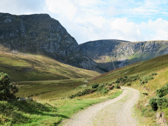
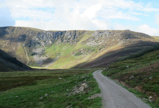
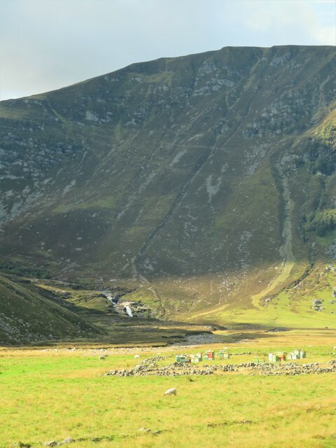
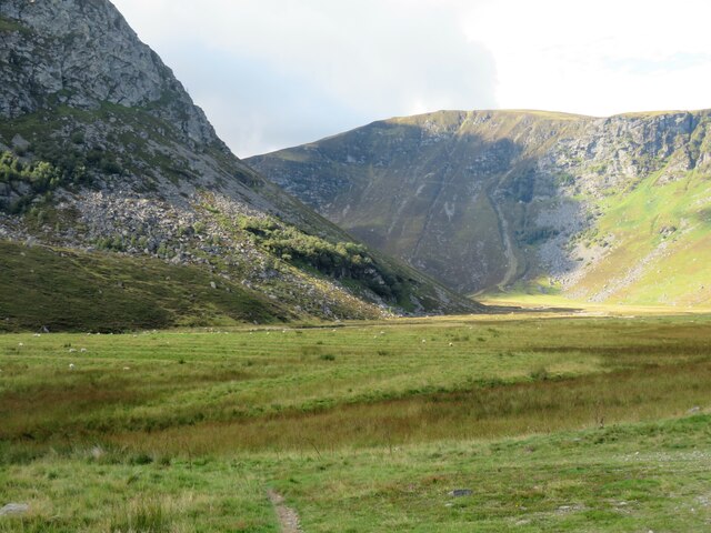
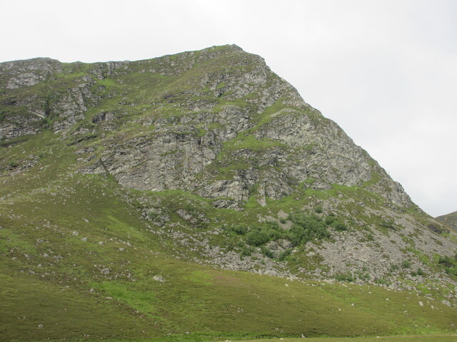
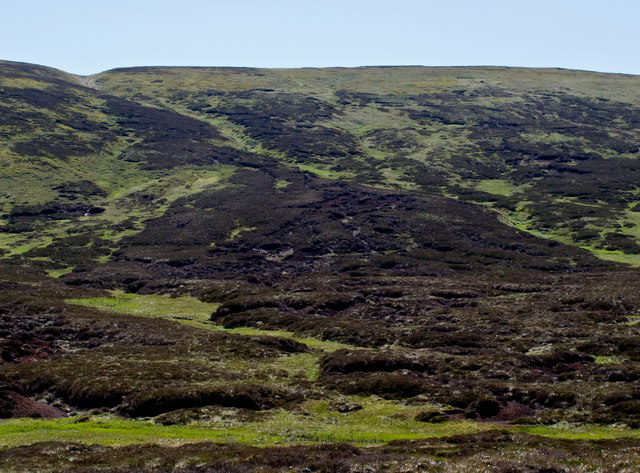
Cairn Lick is a prominent hill located in the Angus region of Scotland. Situated near the village of Glen Isla, it is part of the Grampian Mountains range. Cairn Lick stands at an elevation of approximately 700 meters (2,300 feet) above sea level, making it a notable landmark in the area.

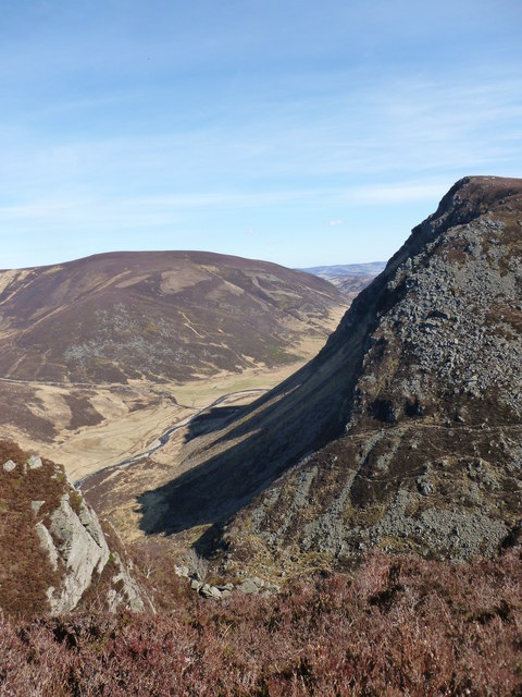
The hill's name, "Cairn Lick," refers to the presence of a cairn or pile of stones that sits atop its summit. This cairn is believed to have been constructed in ancient times, possibly serving as a boundary marker or a memorial. It is a popular destination for hikers and outdoor enthusiasts who enjoy the challenge of ascending the hill to reach the cairn and admire the breathtaking panoramic views of the surrounding countryside.

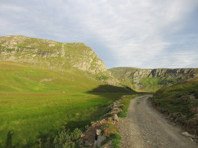
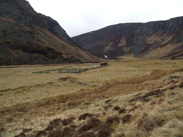
Cairn Lick is characterized by its rugged terrain, including steep slopes and rocky outcrops. The hill is covered with heather and grasses, providing a habitat for various species of wildlife, such as red grouse and mountain hares. It is also home to a diverse range of plant life, including wildflowers and shrubs.

Due to its location within the Grampian Mountains, Cairn Lick experiences typical Scottish weather, with rainfall and strong winds being common. As a result, it is advisable for visitors to come prepared with suitable clothing and footwear when planning to explore the hill.

Overall, Cairn Lick is a remarkable natural feature in Angus, offering outdoor enthusiasts a chance to immerse themselves in Scotland's stunning landscapes and uncover its rich history.

If you have any feedback on the listing, please let us know in the comments section below.

Cairn Lick Images

Images are sourced within 2km of 56.891703/-2.9989834 or Grid Reference NO3978. Thanks to Geograph Open Source API. All images are credited.

Track through Glen Lee Beyond the decaying Glenlee cottage a good estate track continues along the glen into some proper mountain scenery, the rocky nose of Craig Maskeldie looking impressive in the middle distance.
Track through Glen Lee
Beyond the decaying Glenlee cottage a good estate track continues along the glen into some proper mountain scenery, the rocky nose of Craig Maskeldie looking impressive in the middle distance.
Glen Lee towards Bruntswood Craig The estate track continues along Glen Lee offering views of the crags that line the eastern flanks of Hunt Hill.
Glen Lee towards Bruntswood Craig
The estate track continues along Glen Lee offering views of the crags that line the eastern flanks of Hunt Hill.
Beehives in the glen A number of beehives in the flat bottom of Glen Lee, in an area surrounded by broken down old field walls. Late in the season for bees, but there was still a buzzing back and forth to heather that was late in flower. Falls of Unich in the distance.
Beehives in the glen
A number of beehives in the flat bottom of Glen Lee, in an area surrounded by broken down old field walls. Late in the season for bees, but there was still a buzzing back and forth to heather that was late in flower. Falls of Unich in the distance.
Upper reaches of Glen Lee The steep face of Craig Maskeldie rises to the left, whilst beyond are the crags along the east side of Hunt Hill. Typical glaciated mountain scenery in the eastern Highlands.
Upper reaches of Glen Lee
The steep face of Craig Maskeldie rises to the left, whilst beyond are the crags along the east side of Hunt Hill. Typical glaciated mountain scenery in the eastern Highlands.
Craig Maskeldie The eastern face of Craig Maskeldie, viewed from Glen Lee.
Craig Maskeldie
The eastern face of Craig Maskeldie, viewed from Glen Lee.
Distant view of the flank of Craig Maskeldie Looking westwards up Glen Lee to the north-eastern flank of Craig Maskeldie, with Hunt Hill to the right.
Distant view of the flank of Craig Maskeldie
Looking westwards up Glen Lee to the north-eastern flank of Craig Maskeldie, with Hunt Hill to the right.
Shank of Inchgrundle, beyond Loch Lee With its track leading up to Cairn Lick.
Inchgrundle beside the Burn of Inchgrundle on the left.
Smith's Gutter, right of centre leads down to Carlochy, a corrie loch, but out of sight.
Shank of Inchgrundle, beyond Loch Lee
With its track leading up to Cairn Lick. Inchgrundle beside the Burn of Inchgrundle on the left. Smith's Gutter, right of centre leads down to Carlochy, a corrie loch, but out of sight.
Craig Nann Looking south to Craig Nann from the track in Glen Lee.
Craig Nann
Looking south to Craig Nann from the track in Glen Lee.
Burn of Inchgrundle at Inchgrundle
Former farmtoun near the Falls of Unich The walls of a former farmtoun can be made out on the grassland.
Former farmtoun near the Falls of Unich
The walls of a former farmtoun can be made out on the grassland.
View down the Water of Unich Looking across the flank of Craig Maskeldie from Hunt Hill, with the rounded hill of Monawee (monadh buidhe - the yellow mountain) visible beyond the confluence of the Unich and the Lee.
View down the Water of Unich
Looking across the flank of Craig Maskeldie from Hunt Hill, with the rounded hill of Monawee (monadh buidhe - the yellow mountain) visible beyond the confluence of the Unich and the Lee.
Confluence of the Unich and the Lee Viewed from Hunt Hill, with Craig Maskeldie in shadow.
Confluence of the Unich and the Lee
Viewed from Hunt Hill, with Craig Maskeldie in shadow.
Hillside above the Burn of Latch Hillside between East Cairn and Muckle Cairn south of the Burn of Latch.
Hillside above the Burn of Latch
Hillside between East Cairn and Muckle Cairn south of the Burn of Latch.
Northern view from Cairn Lick A view to the north from the slopes of Cairn Lick, with Bruntwood Craig and Mount Keen visible in the distance
Northern view from Cairn Lick
A view to the north from the slopes of Cairn Lick, with Bruntwood Craig and Mount Keen visible in the distance
Cairn Lick The summit of Cairn Lick, with Mount Keen and Braid Cairn  - over 8km distant - visible in the background
Cairn Lick
The summit of Cairn Lick, with Mount Keen and Braid Cairn - over 8km distant - visible in the background
Hillside below Wester Skuiley Heather moorland below Wester Skuiley, with extensive peat deposits
Hillside below Wester Skuiley
Heather moorland below Wester Skuiley, with extensive peat deposits
Carlochy Lochan nestling in the hills of Glen Lee
Carlochy
Lochan nestling in the hills of Glen Lee
Show me another place!

Cairn Lick is located at Grid Ref: NO3978 (Lat: 56.891703, Lng: -2.9989834)

Unitary Authority: Angus

Police Authority: Tayside

What 3 Words

///fully.energetic.fists. Near Ballater, Aberdeenshire

Nearby Locations

Carlochy Cairn Lick

Related Wikis

Falls of Damff

Falls of Damff is a waterfall in Cairngorms National Park in Scotland. == See also == Waterfalls of Scotland == References ==

Falls of Unich

Falls of Unich is a waterfall of Scotland. == See also == Waterfalls of Scotland == References == Media related to Falls of Unich at Wikimedia Commons

Loch Lee

National grid reference NO431800 Loch Lee is a loch in Angus, Scotland south of the Grampian Mountains that is fed by the Water of Lee and the Water of...

Ben Tirran

Ben Tirran (896 m) is a mountain in the Grampian Mountains of Scotland. It lies in the vast Mounth area of the eastern Highlands in Angus, on the northern...

Nearby Amenities

Located within 500m of 56.891703,-2.9989834
Cairn Lick
Ele: 682
Name Gd: Càrn Lic
Natural: peak
Lat/Long: 56.8914388/-2.9988814
The data included in this document is from www.openstreetmap.org. The data is made available under ODbL.

Have you been to Cairn Lick?

Leave your review of Cairn Lick below (or comments, questions and feedback).