Carlochy

Lake, Pool, Pond, Freshwater Marsh in Angus

Scotland

Carlochy

Inchgrundle A pair of white painted cottages near the head of Loch Lee. No signs of life here, so unsure if the place is inhabited. A glorious location between mountain and loch.
Inchgrundle Credit: Gordon Hatton

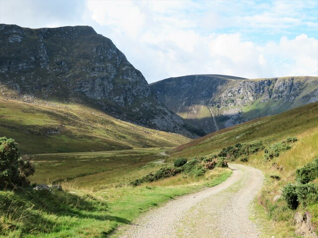
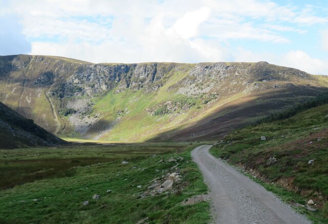
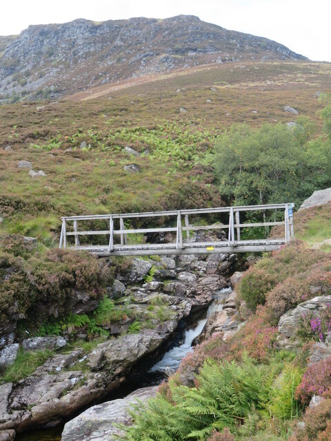
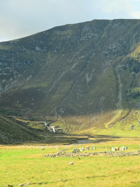
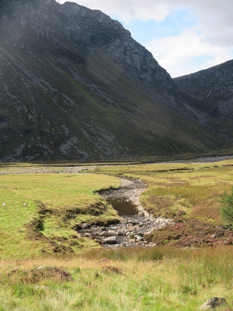
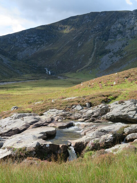
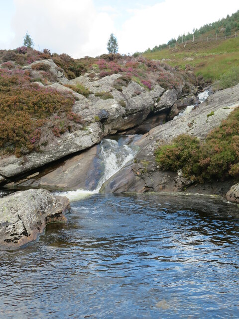
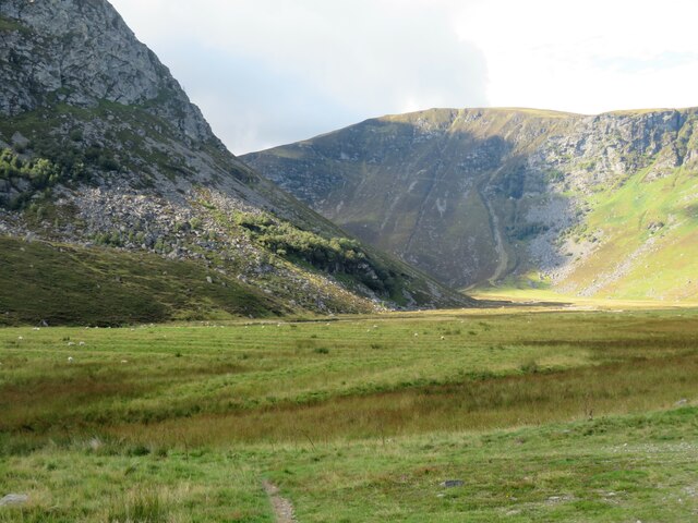
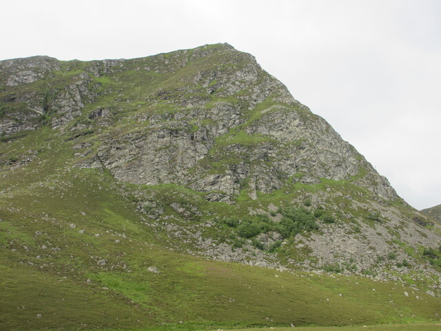
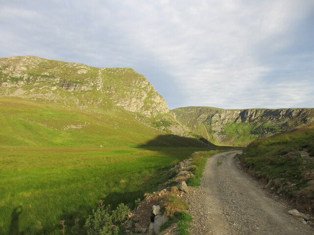
Carlochy, Angus is a picturesque freshwater marsh located in the heart of Angus, Scotland. Nestled amidst rolling hills and lush greenery, this natural wonderland boasts a diverse array of aquatic habitats, including a lake, pool, pond, and freshwater marsh.

The centerpiece of Carlochy is its pristine lake, which spans a considerable area and is home to various species of fish, including trout and perch. The lake's crystal-clear waters attract anglers from far and wide, seeking to test their skills in the pursuit of the perfect catch.

Adjacent to the lake, a tranquil pool provides a serene setting for visitors to relax and enjoy the stunning surroundings. The pool's calm waters reflect the vibrant colors of the surrounding flora, creating a mesmerizing visual feast.

A smaller pond, located nearby, offers a different ambiance, with its shallow waters and abundant plant life providing a haven for frogs, newts, and other amphibious creatures. This pond is a favorite spot for nature enthusiasts, who can observe the delicate balance of the ecosystem up close.

Surrounding the aquatic habitats, a freshwater marsh completes the diverse landscape of Carlochy. This marshland is a haven for waterfowl, including ducks, geese, and swans, which can be observed gliding gracefully across the water or nesting in the reeds.

Carlochy, with its unique combination of lake, pool, pond, and freshwater marsh, offers a delightful escape from the hustle and bustle of daily life. Whether it be fishing, birdwatching, or simply enjoying the tranquility of nature, visitors to Carlochy are sure to find solace and beauty in this enchanting Scottish gem.

If you have any feedback on the listing, please let us know in the comments section below.

Carlochy Images

Images are sourced within 2km of 56.897481/-2.9932112 or Grid Reference NO3978. Thanks to Geograph Open Source API. All images are credited.

Inchgrundle A pair of white painted cottages near the head of Loch Lee. No signs of life here, so unsure if the place is inhabited. A glorious location between mountain and loch.
Inchgrundle
A pair of white painted cottages near the head of Loch Lee. No signs of life here, so unsure if the place is inhabited. A glorious location between mountain and loch.
Track junction approaching Glenlee cottage The track along the glen divides here, that to the left heading for Inchgrundle, whilst ahead is the empty and deteriorating Glenlee cottage. Some photos taken here in past years show the cottage amongst mature conifers, but these have gone to be replaced by a mix of broadleaf and coniferous trees surrounded by a deer fence. A group of workers were emerging from the site having been 'bracken bashing', an unpleasant job where one is liable to attract ticks. There was also a report of adders in the area, which to me seem a lot more pleasant and interesting than ticks.
Track junction approaching Glenlee cottage
The track along the glen divides here, that to the left heading for Inchgrundle, whilst ahead is the empty and deteriorating Glenlee cottage. Some photos taken here in past years show the cottage amongst mature conifers, but these have gone to be replaced by a mix of broadleaf and coniferous trees surrounded by a deer fence. A group of workers were emerging from the site having been 'bracken bashing', an unpleasant job where one is liable to attract ticks. There was also a report of adders in the area, which to me seem a lot more pleasant and interesting than ticks.
Water of Lee near Inchgrundle A loop of the watercourse where one is actually looking upstream. The cottages at Inchgrundle are half hidden in the distance.
Water of Lee near Inchgrundle
A loop of the watercourse where one is actually looking upstream. The cottages at Inchgrundle are half hidden in the distance.
Glenlee cottage Abandoned, boarded up, and with some slates missing from the roof, one wonders if this little building is in terminal decline. Previous 'geograph' contributors have shown the building almost surrounded by mature conifers, but these have gone, to be replaced by a mix of both broadleaf [rowan, birch, oak etc] and conifer. Workers who had been bracken bashing inside the fenced off area reported a multitude of ticks [nasty] and a couple of adders [interesting].
Glenlee cottage
Abandoned, boarded up, and with some slates missing from the roof, one wonders if this little building is in terminal decline. Previous 'geograph' contributors have shown the building almost surrounded by mature conifers, but these have gone, to be replaced by a mix of both broadleaf [rowan, birch, oak etc] and conifer. Workers who had been bracken bashing inside the fenced off area reported a multitude of ticks [nasty] and a couple of adders [interesting].
Track through Glen Lee Beyond the decaying Glenlee cottage a good estate track continues along the glen into some proper mountain scenery, the rocky nose of Craig Maskeldie looking impressive in the middle distance.
Track through Glen Lee
Beyond the decaying Glenlee cottage a good estate track continues along the glen into some proper mountain scenery, the rocky nose of Craig Maskeldie looking impressive in the middle distance.
Glen Lee towards Bruntswood Craig The estate track continues along Glen Lee offering views of the crags that line the eastern flanks of Hunt Hill.
Glen Lee towards Bruntswood Craig
The estate track continues along Glen Lee offering views of the crags that line the eastern flanks of Hunt Hill.
Footbridge over the Water of Lee The Water of Lee is confined to a narrow rocky channel at this point, making it an ideal place for a footbridge. The path to the left heads towards the Falls of Unich.
Footbridge over the Water of Lee
The Water of Lee is confined to a narrow rocky channel at this point, making it an ideal place for a footbridge. The path to the left heads towards the Falls of Unich.
Beehives in the glen A number of beehives in the flat bottom of Glen Lee, in an area surrounded by broken down old field walls. Late in the season for bees, but there was still a buzzing back and forth to heather that was late in flower. Falls of Unich in the distance.
Beehives in the glen
A number of beehives in the flat bottom of Glen Lee, in an area surrounded by broken down old field walls. Late in the season for bees, but there was still a buzzing back and forth to heather that was late in flower. Falls of Unich in the distance.
Towards where waters meet Looking down along the Water of Lee towards its confluence with the Water of Unich, which is actually the larger of the two burns, but the combined waters continue on down the glen as the Water of Lee.
Towards where waters meet
Looking down along the Water of Lee towards its confluence with the Water of Unich, which is actually the larger of the two burns, but the combined waters continue on down the glen as the Water of Lee.
Water of Lee to Falls of Unich The Water of Lee drops into the lower glen down a series of delightful small cascades and through clear plunge pools, the sort of place where one might fancy a dip on a hot day. In the distance are the much larger Falls of Unich.
Water of Lee to Falls of Unich
The Water of Lee drops into the lower glen down a series of delightful small cascades and through clear plunge pools, the sort of place where one might fancy a dip on a hot day. In the distance are the much larger Falls of Unich.
Plunge pool on Water of Lee Little cascades and pools below the footbridge in Glen Lee. The topography here would suggest that the upper glen curves to the west and the impressive Falls of Unich and that the Water of Lee is a mere tributary, but a glance at the map shows that Glen Lee continues north and then west around the north side of Hunt Hill. The upper glen which includes the Falls of Unich must have been glacially overdeepened, thus leaving upper Glen Lee as a hanging valley.
Plunge pool on Water of Lee
Little cascades and pools below the footbridge in Glen Lee. The topography here would suggest that the upper glen curves to the west and the impressive Falls of Unich and that the Water of Lee is a mere tributary, but a glance at the map shows that Glen Lee continues north and then west around the north side of Hunt Hill. The upper glen which includes the Falls of Unich must have been glacially overdeepened, thus leaving upper Glen Lee as a hanging valley.
Upper reaches of Glen Lee The steep face of Craig Maskeldie rises to the left, whilst beyond are the crags along the east side of Hunt Hill. Typical glaciated mountain scenery in the eastern Highlands.
Upper reaches of Glen Lee
The steep face of Craig Maskeldie rises to the left, whilst beyond are the crags along the east side of Hunt Hill. Typical glaciated mountain scenery in the eastern Highlands.
Craig Maskeldie The eastern face of Craig Maskeldie, viewed from Glen Lee.
Craig Maskeldie
The eastern face of Craig Maskeldie, viewed from Glen Lee.
Distant view of the flank of Craig Maskeldie Looking westwards up Glen Lee to the north-eastern flank of Craig Maskeldie, with Hunt Hill to the right.
Distant view of the flank of Craig Maskeldie
Looking westwards up Glen Lee to the north-eastern flank of Craig Maskeldie, with Hunt Hill to the right.
Shank of Inchgrundle, beyond Loch Lee With its track leading up to Cairn Lick.
Inchgrundle beside the Burn of Inchgrundle on the left.
Smith's Gutter, right of centre leads down to Carlochy, a corrie loch, but out of sight.
Shank of Inchgrundle, beyond Loch Lee
With its track leading up to Cairn Lick. Inchgrundle beside the Burn of Inchgrundle on the left. Smith's Gutter, right of centre leads down to Carlochy, a corrie loch, but out of sight.
Craig Nann Looking south to Craig Nann from the track in Glen Lee.
Craig Nann
Looking south to Craig Nann from the track in Glen Lee.
Glenlee House Looking north to the boarded up cottage in Glen Lee.
Glenlee House
Looking north to the boarded up cottage in Glen Lee.
Boat house, Glen Lee
Show me another place!

Carlochy is located at Grid Ref: NO3978 (Lat: 56.897481, Lng: -2.9932112)

Unitary Authority: Angus

Police Authority: Tayside

What 3 Words

///sneezing.punks.manager. Near Ballater, Aberdeenshire

Nearby Locations

Carlochy Cairn Lick

Related Wikis

Falls of Damff

Falls of Damff is a waterfall in Cairngorms National Park in Scotland. == See also == Waterfalls of Scotland == References ==

Falls of Unich

Falls of Unich is a waterfall of Scotland. == See also == Waterfalls of Scotland == References == Media related to Falls of Unich at Wikimedia Commons

Loch Lee

National grid reference NO431800 Loch Lee is a loch in Angus, Scotland south of the Grampian Mountains that is fed by the Water of Lee and the Water of...

Invermark Lodge

Invermark Lodge is a hunting lodge which was built near Invermark Castle in 1852 for John Ramsay, 13th Earl of Dalhousie. It is now a listed building...

Nearby Amenities

Located within 500m of 56.897481,-2.9932112
Smith's Gutter
Place: locality
Lat/Long: 56.899354/-2.9972911
Gryp's Chamber
Place: locality
Lat/Long: 56.9014398/-2.9909396
The data included in this document is from www.openstreetmap.org. The data is made available under ODbL.

Have you been to Carlochy?

Leave your review of Carlochy below (or comments, questions and feedback).