Hill of Mulderie
Hill, Mountain in Morayshire
Scotland
Hill of Mulderie

Hill of Mulderie, located in Morayshire, Scotland, is a prominent natural feature that attracts visitors due to its stunning views and unique geological formations. Rising to a height of 268 meters (879 feet), it is often referred to as a hill, but some locals consider it a small mountain due to its steep slopes.
The hill is situated near the village of Mulderie, just a few miles south of the town of Elgin. It is easily accessible, with various footpaths leading to its summit, making it a popular destination for hikers and nature enthusiasts. The ascent to the top offers breathtaking panoramic views of the surrounding countryside, including the Moray Firth and the Grampian Mountains in the distance.
What sets Hill of Mulderie apart is its unique geological composition. The hill is primarily composed of sandstone, which has eroded over time, resulting in striking rock formations and cliffs. The exposed rocks showcase layers of different colors, creating a visually appealing spectacle. Fossil enthusiasts also frequent the area, as the hill is known to contain fossils from the Jurassic period, including ammonites and belemnites.
Apart from its geological significance, Hill of Mulderie is also home to a diverse range of flora and fauna. The hillside is covered in heather, gorse, and grasses, attracting various bird species, such as skylarks and meadow pipits. The surrounding fields and woodlands are inhabited by a variety of mammals, including deer and rabbits.
Overall, Hill of Mulderie offers a unique blend of natural beauty, geological interest, and wildlife, making it a must-visit destination for those seeking an authentic Scottish outdoor experience.
If you have any feedback on the listing, please let us know in the comments section below.
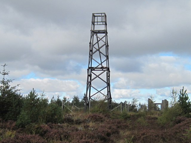
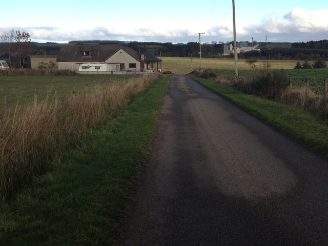
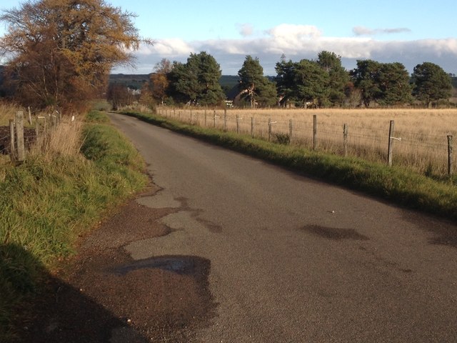
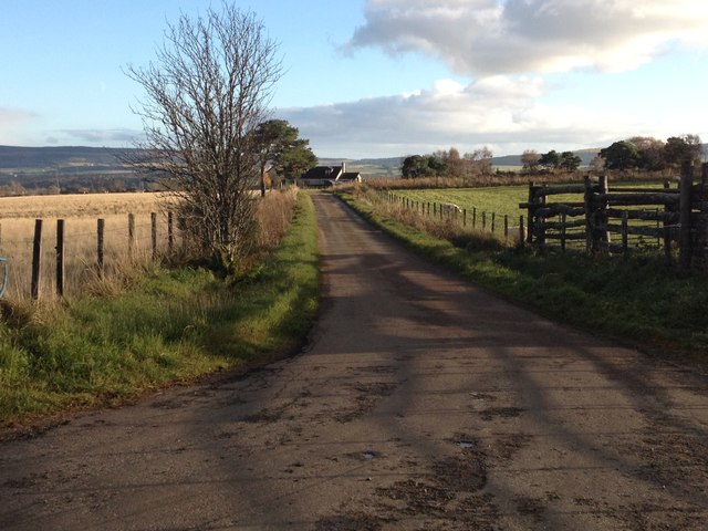
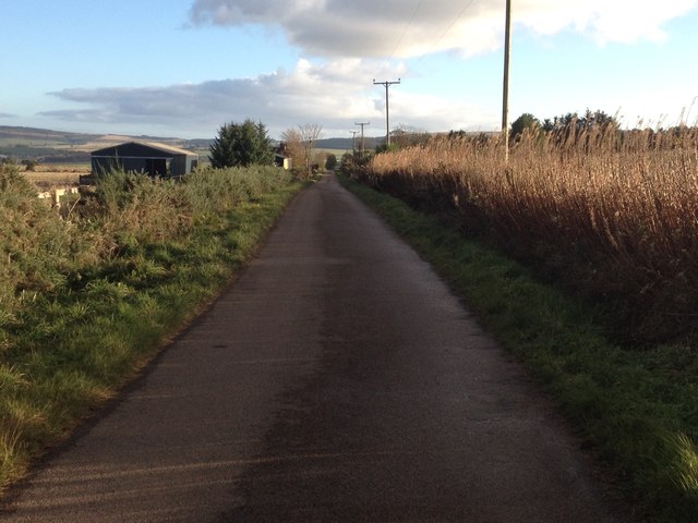
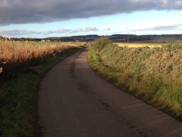
Hill of Mulderie Images
Images are sourced within 2km of 57.551191/-3.0320948 or Grid Reference NJ3851. Thanks to Geograph Open Source API. All images are credited.


Hill of Mulderie is located at Grid Ref: NJ3851 (Lat: 57.551191, Lng: -3.0320948)
Unitary Authority: Moray
Police Authority: North East
What 3 Words
///firelight.menu.exacted. Near Keith, Moray
Nearby Locations
Related Wikis

A96 road
The A96 is a major road in the north of Scotland. It runs generally west/north-west from Aberdeen, bypassing Blackburn, Kintore, Inverurie, Huntly, Fochabers...

Tauchers Platform railway station
Tauchers Platform railway station served Glentauchers distillery, Mulben, Moray, Scotland that had originally opened in 1897 and the hamlet of Tauchers...

Glentauchers distillery
Glentauchers distillery is a Speyside Scottish whisky distillery in Mulben, Keith, Scotland. == History == Glentauchers distillery was founded in 1897...

Aultmore railway station
Aultmore railway station was a station which served the village of Aultmore, in the Scottish county of Moray. It was served by trains on the Buckie and...
Nearby Amenities
Located within 500m of 57.551191,-3.0320948Have you been to Hill of Mulderie?
Leave your review of Hill of Mulderie below (or comments, questions and feedback).