Oak Hill
Hill, Mountain in Somerset South Somerset
England
Oak Hill

Oak Hill is a prominent hill located in the county of Somerset, England. It is situated approximately 4 miles east of the town of Yeovil and stands at an elevation of around 130 meters (426 feet) above sea level. With its commanding views of the surrounding countryside, Oak Hill is often referred to as a mountain by the local residents.
Covered in lush greenery and mature oak trees, Oak Hill is a popular destination for nature enthusiasts and hikers alike. Its gentle slopes and well-marked trails make it an ideal location for leisurely walks and family outings. The hill is also home to a diverse range of flora and fauna, including various bird species, mammals, and rare plant life, making it a haven for wildlife enthusiasts and botanists.
Historically, Oak Hill has been an important landmark in the area. The hill is said to have been named due to the abundance of oak trees that once covered its slopes. In the past, the timber from these trees was harvested and used for various purposes, such as shipbuilding. Today, the hill serves as a reminder of the region's rich natural heritage.
Oak Hill is easily accessible by road, with several parking areas available at the base of the hill. Visitors can enjoy panoramic views of the Somerset countryside from the summit, which on a clear day, stretches as far as the Mendip Hills and the Blackdown Hills. With its picturesque landscapes and tranquil atmosphere, Oak Hill offers a peaceful retreat for those seeking solace in nature.
If you have any feedback on the listing, please let us know in the comments section below.
Oak Hill Images
Images are sourced within 2km of 50.959259/-2.8822895 or Grid Reference ST3818. Thanks to Geograph Open Source API. All images are credited.


Oak Hill is located at Grid Ref: ST3818 (Lat: 50.959259, Lng: -2.8822895)
Administrative County: Somerset
District: South Somerset
Police Authority: Avon and Somerset
What 3 Words
///unfocused.takeovers.spare. Near Ilminster, Somerset
Nearby Locations
Related Wikis
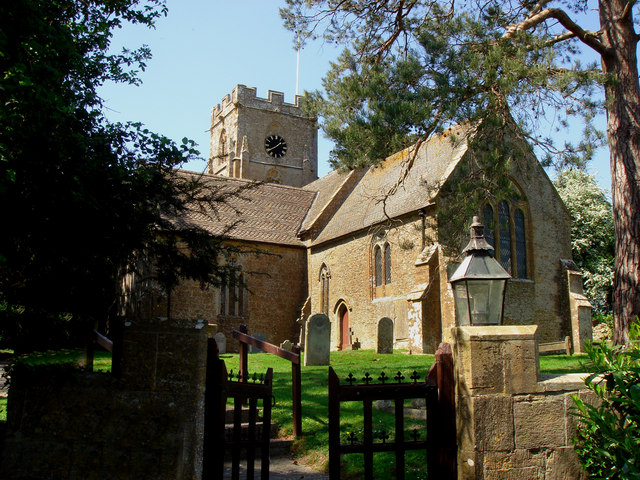
Church of St Andrew, Puckington
The Anglican Church of St Andrew in Puckington, Somerset, England, was built in the 13th century. It is a Grade II* listed building. == History == The...
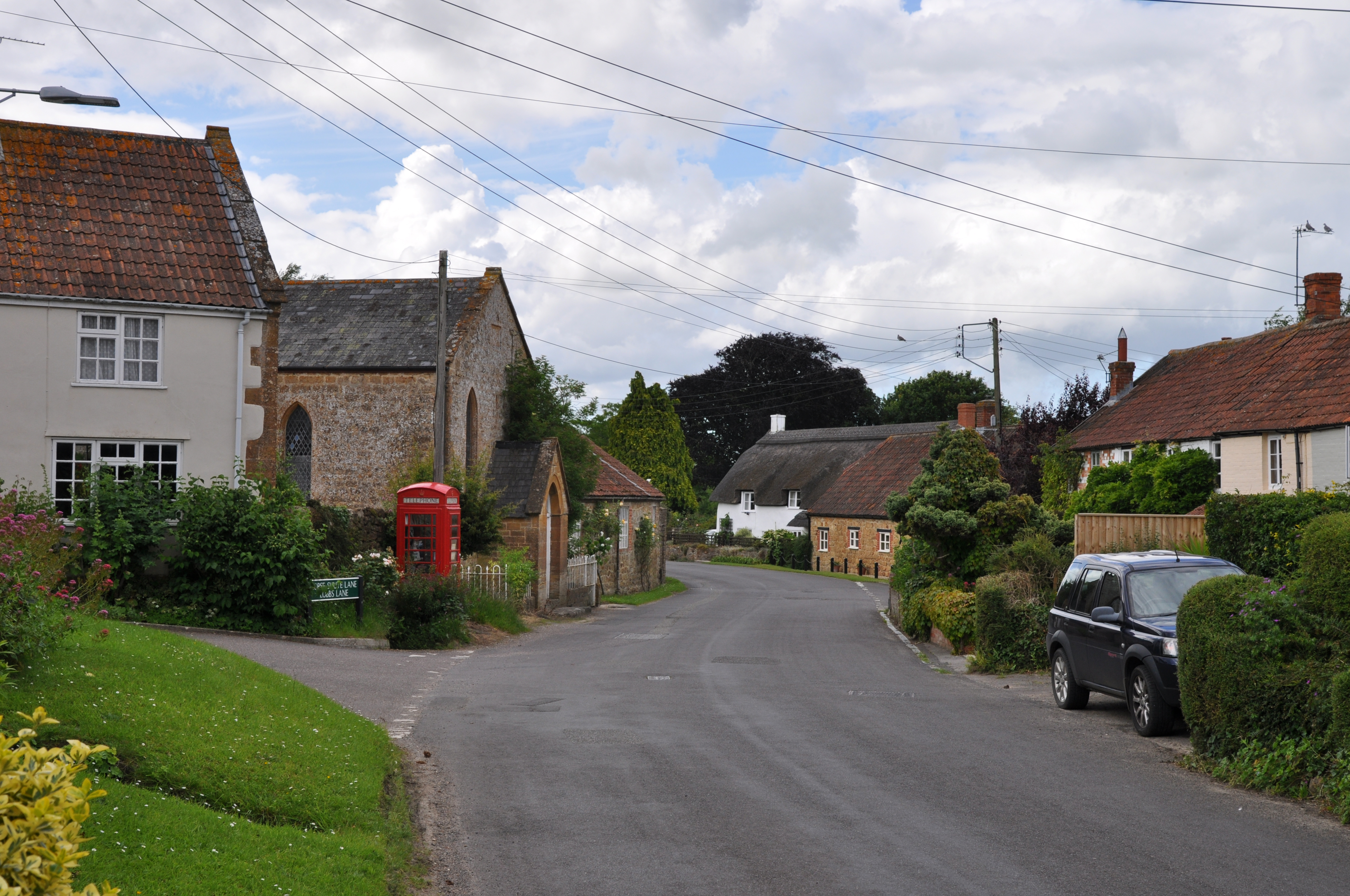
Barrington, Somerset
Barrington is a village and civil parish, situated 10 miles (16.1 km) south east of Taunton and 10 miles (16.1 km) west of Yeovil in Somerset, England...

Puckington
Puckington is a village and civil parish, situated 10 miles (16 km) south-east of Taunton and 10 miles (16 km) west of Yeovil in the South Somerset district...
Stocklinch
Stocklinch is a village and civil parish 3.5 miles (6 km) north-east of Ilminster in the South Somerset district of Somerset, England. == History == The...
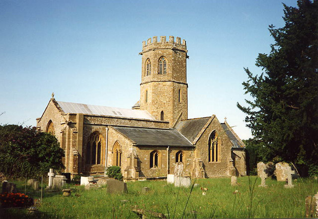
Church of St Mary the Virgin, Barrington
The Church of St Mary the Virgin in Barrington, Somerset, England dates from the 13th century and has been designated as a Grade I listed building.St Mary...
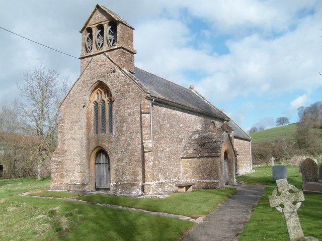
Church of St Mary Magdalene, Stocklinch
The Church of St Mary Magdalen in Stocklinch, Somerset, England, dates from the 13th century. It is recorded in the National Heritage List for England...

Barrington Court
Barrington Court is a Tudor manor house begun around 1538 and completed in the late 1550s, with a vernacular stable court (1675), situated in Barrington...

Shepton Beauchamp
Shepton Beauchamp is a village and civil parish, 1 mile (2 km) from Barrington and 4 miles (6 km) north east of Ilminster between the Blackdown Hills and...
Nearby Amenities
Located within 500m of 50.959259,-2.8822895Have you been to Oak Hill?
Leave your review of Oak Hill below (or comments, questions and feedback).