Far Hill

Hill, Mountain in Peeblesshire

Scotland

Far Hill

Timber stacks near Glenbenna Plenty of timber awaiting transport from Traquair and Elibank Forest.
Timber stacks near Glenbenna Credit: Jim Barton

Far Hill is a prominent landmark situated in Peeblesshire, a historic county located in the southern region of Scotland. This hill, also referred to as Far Mountain, stands at an altitude of approximately 500 meters (1,640 feet) above sea level. It is part of the stunning Moorfoot Hills range, which stretches across the Borders region of Scotland.

Far Hill boasts a distinctive conical shape, with its summit offering breathtaking panoramic views of the surrounding countryside. The hill is covered in heather and grass, creating a picturesque landscape that changes color with the seasons. It is a popular destination for hikers, nature enthusiasts, and photographers, who are drawn to its natural beauty and tranquil atmosphere.

The hill is home to a variety of wildlife, including birds such as red grouse and golden eagles, as well as mammals like red deer and mountain hares. It is also surrounded by ancient woodlands, adding to its ecological significance.

Despite its remote location, Far Hill is easily accessible via well-marked hiking trails that start from nearby villages such as Eddleston and West Linton. These trails offer a range of difficulty levels, allowing visitors to explore the hill at their own pace. The summit can be reached within a couple of hours, making it an ideal day trip for outdoor enthusiasts.

Far Hill, with its majestic presence and natural wonders, stands as a testament to the beauty of the Scottish countryside and continues to captivate those who venture to its heights.

If you have any feedback on the listing, please let us know in the comments section below.
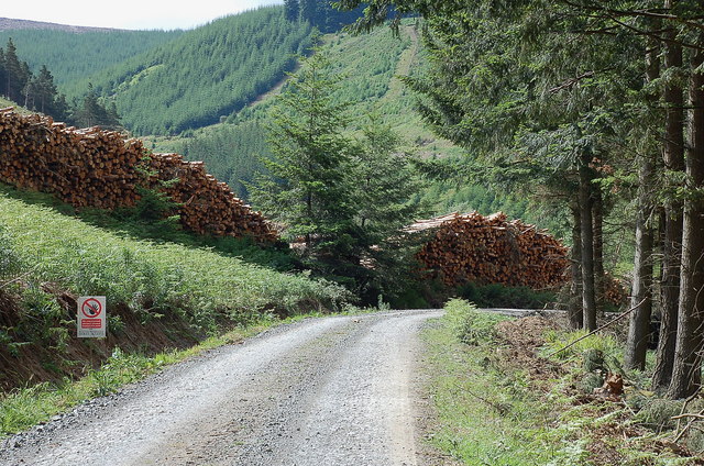
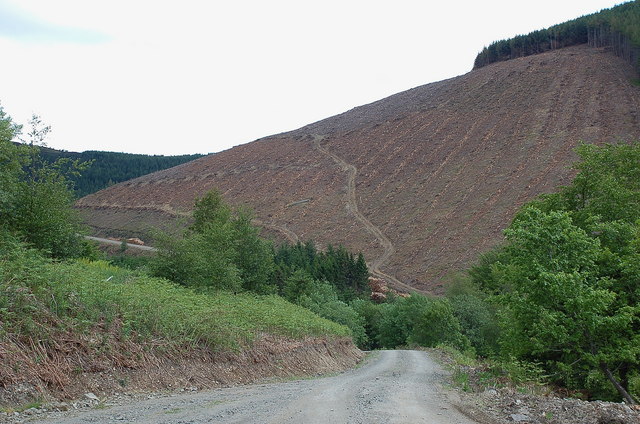
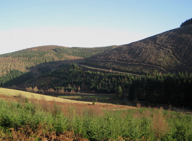
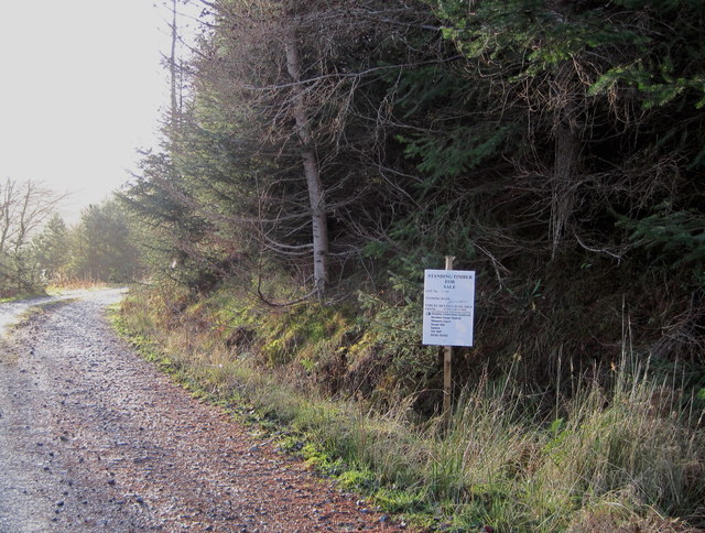
Far Hill Images

Images are sourced within 2km of 55.596751/-2.9837648 or Grid Reference NT3834. Thanks to Geograph Open Source API. All images are credited.

Timber stacks near Glenbenna Plenty of timber awaiting transport from Traquair and Elibank Forest.
Timber stacks near Glenbenna
Plenty of timber awaiting transport from Traquair and Elibank Forest.
Clear felled slope on Glenbenna Head Logging in the Traquair and Elibank Forest, seen here from the forest road contouring Bold Rig.
Clear felled slope on Glenbenna Head
Logging in the Traquair and Elibank Forest, seen here from the forest road contouring Bold Rig.
View of the Eildon Hills The view from the signpost for Minch Moor on the Southern Upland Way, looking to the east side towards the Eildon Hills.
View of the Eildon Hills
The view from the signpost for Minch Moor on the Southern Upland Way, looking to the east side towards the Eildon Hills.
Elibank and Traquair Forest Various stages of tree growth are in view here with clear felling on part of the ridge from Glenbenna Head and mature forest on Middlebar Knowe (L).
Elibank and Traquair Forest
Various stages of tree growth are in view here with clear felling on part of the ridge from Glenbenna Head and mature forest on Middlebar Knowe (L).
Too late to buy these trees 'Standing Timber For Sale' proclaims the notice, but the closing date of 30th November has passed.
Too late to buy these trees
'Standing Timber For Sale' proclaims the notice, but the closing date of 30th November has passed.
Southern Upland Way, Lucken Head The Way keeps high alongside the fence E of Brown Knowe, with the line of the Old Drove Road shown slightly lower down contouring the hillside to the notch at Four Lords Land, in the dip before the plantation ahead. The Eildon Hills are L of centre and The Cheviot is the distant broad bump on the skyline.
Southern Upland Way, Lucken Head
The Way keeps high alongside the fence E of Brown Knowe, with the line of the Old Drove Road shown slightly lower down contouring the hillside to the notch at Four Lords Land, in the dip before the plantation ahead. The Eildon Hills are L of centre and The Cheviot is the distant broad bump on the skyline.
Elibank and Traquair Forest View from the Minchmoor road.
Elibank and Traquair Forest
View from the Minchmoor road.
Cotton grass, Brown Knowe Boggy moorland alongside the track on the high-level route of the Old Drove Road.
Cotton grass, Brown Knowe
Boggy moorland alongside the track on the high-level route of the Old Drove Road.
Signpost, Minch Moor The Minchmoor drove road is crossed by a logging road here.
Signpost, Minch Moor
The Minchmoor drove road is crossed by a logging road here.
Moorland strip, Hare Law A gap in the extensive plantations around the old Minchmoor drove road.
Moorland strip, Hare Law
A gap in the extensive plantations around the old Minchmoor drove road.
Minchmoor Road Descent of Hare Law towards the junction where the Minchmoor Road leaves the ridge and descends to Yarrowford.
Minchmoor Road
Descent of Hare Law towards the junction where the Minchmoor Road leaves the ridge and descends to Yarrowford.
Lewenshope The glen is inhabited but dominated by conifer plantations, some being harvested at the time. View up to Hare Law at the head of the glen.
Lewenshope
The glen is inhabited but dominated by conifer plantations, some being harvested at the time. View up to Hare Law at the head of the glen.
Forestry, Minch Moor A clear felled and replanted block at the head of Lewinshope.
Forestry, Minch Moor
A clear felled and replanted block at the head of Lewinshope.
Head of Lewinshope A heavily forested glen to the south of Minch Moor.
Head of Lewinshope
A heavily forested glen to the south of Minch Moor.
Logging road, Minchmoor The road contours the slope above Lewinshope.
Logging road, Minchmoor
The road contours the slope above Lewinshope.
Minchmoor Road The old drove road on Hare Law.
Minchmoor Road
The old drove road on Hare Law.
Minchmoor Road Near the summit of Hare Law, taken in eager anticipation of the descent to Yarrowford.
Minchmoor Road
Near the summit of Hare Law, taken in eager anticipation of the descent to Yarrowford.
Minchmoor Road The descent to Yarrowford, wheeeeeeeeeee!
Minchmoor Road
The descent to Yarrowford, wheeeeeeeeeee!
Show me another place!

Far Hill is located at Grid Ref: NT3834 (Lat: 55.596751, Lng: -2.9837648)

Unitary Authority: The Scottish Borders

Police Authority: The Lothians and Scottish Borders

What 3 Words

///consonant.rhino.brick. Near Innerleithen, Scottish Borders

Nearby Locations

Far Hill

Related Wikis

Walkerburn railway station

Walkerburn railway station served the village of Walkerburn, Scottish Borders, Scotland from 1867 to 1962 on the Peebles Railway. == History == The station...

Thornielee railway station

Thornielee railway station served the smallholding of Thornielee, Scottish Borders, Scotland from 1866 to 1950 on the Peebles Railway. == History == The...

Ashiestiel

Ashiestiel is a village in the Scottish Borders area of Scotland, in the Parish of Caddonfoot, on the south side of the River Tweed, 4m (6.5 km) east of...

The Kirna

The Kirna, known locally as Kirna House (previously also as Grangehill), is a Category A listed villa in Walkerburn, Peeblesshire, Scotland. It is one...

Nearby Amenities

Located within 500m of 55.596751,-2.9837648
Far Hill
Ele: 528
Natural: peak
Lat/Long: 55.5969503/-2.9823282
The data included in this document is from www.openstreetmap.org. The data is made available under ODbL.

Have you been to Far Hill?

Leave your review of Far Hill below (or comments, questions and feedback).