Hog Hill

Hill, Mountain in Dumfriesshire

Scotland

Hog Hill

A7 near Wrae
A7 near Wrae Credit: Steven Brown

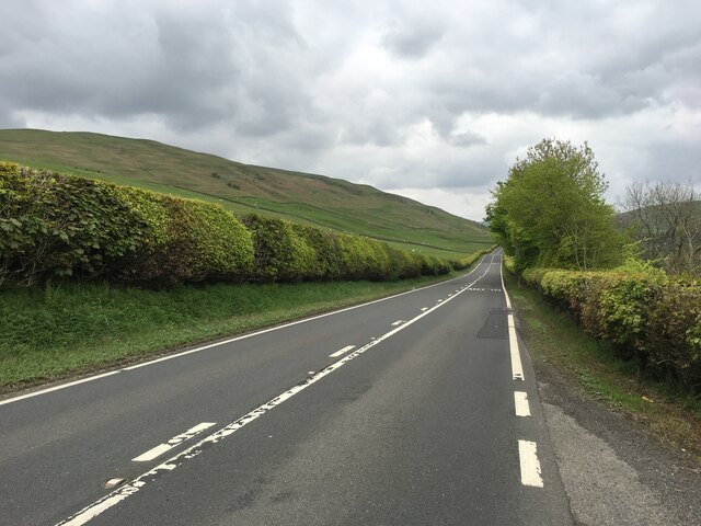
Hog Hill, located in Dumfriesshire, Scotland, is a prominent hill that stands at an elevation of approximately 1,415 feet (431 meters). Situated in the Southern Uplands region, it offers breathtaking panoramic views of the surrounding countryside, making it a popular destination for hikers and nature enthusiasts.

The hill, also known as Hog Hill of Cairn, is part of the Lowther Hills range and is located near the village of Durisdeer. It boasts a distinctive shape with a rounded summit covered in heather and grass, which adds to its picturesque appeal. The terrain is generally gentle, making it accessible to both experienced walkers and those seeking a leisurely stroll.

Hog Hill offers a variety of walking routes, including well-marked paths that cater to different levels of fitness and experience. The ascent to the summit is relatively straightforward, with the highest point providing an impressive vantage point to soak in the beauty of the surrounding landscape, including the rolling hills, farmland, and the nearby Scaur Water.

The hill is rich in flora and fauna, with heather and grasses dominating the landscape. Wildlife enthusiasts may spot various bird species, including red grouse, buzzards, and kestrels, as well as small mammals such as rabbits and hares.

Hog Hill is a hidden gem for outdoor enthusiasts seeking tranquility and breathtaking views in Dumfriesshire. With its accessible trails and stunning vistas, it offers a memorable experience for visitors of all ages and abilities.

If you have any feedback on the listing, please let us know in the comments section below.

Hog Hill Images

Images are sourced within 2km of 55.196286/-2.9739296 or Grid Reference NY3889. Thanks to Geograph Open Source API. All images are credited.
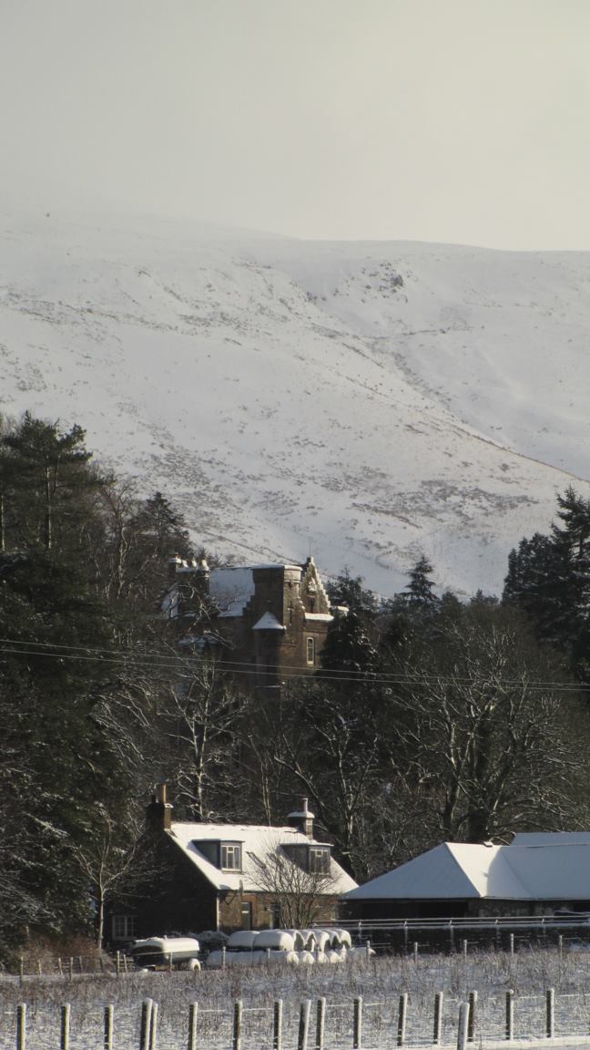
A7 near Wrae
A7 near Wrae
Briery Bank Pasture, Ewesdale.
Briery Bank
Pasture, Ewesdale.
A7 layby Near Brieryshaw, Ewesdale.  Dumfries and Galloway Council still have layby bins.
A7 layby
Near Brieryshaw, Ewesdale. Dumfries and Galloway Council still have layby bins.
Loch Hill East side of Ewesdale.
Loch Hill
East side of Ewesdale.
Farm road, Brieryshaw Leads from the A7 to the hill grazing.
Farm road, Brieryshaw
Leads from the A7 to the hill grazing.
Ewes Parish Church Ewes Parish Church is an attractive rural stone-built Gothic style church dating from 1867. Some of the graves are much older than the church, dating from the 17th to 20th centuries. There is a monthly service on the 3rd Sunday of each month at 6.00 pm. The church is a Category B listed building. <span class="nowrap"><a title="https://www.britishlistedbuildings.co.uk/200342034-ewes-parish-church-and-churchyard-ewes#.WwlfMDGWzwo" rel="nofollow ugc noopener" href="https://www.britishlistedbuildings.co.uk/200342034-ewes-parish-church-and-churchyard-ewes#.WwlfMDGWzwo">Link</a><img style="margin-left:2px;" alt="External link" title="External link - shift click to open in new window" src="https://s1.geograph.org.uk/img/external.png" width="10" height="10"/></span>
Ewes Parish Church
Ewes Parish Church is an attractive rural stone-built Gothic style church dating from 1867. Some of the graves are much older than the church, dating from the 17th to 20th centuries. There is a monthly service on the 3rd Sunday of each month at 6.00 pm. The church is a Category B listed building. LinkExternal link
Kirkton, in the valley of the Ewes Water Looking up to the valley of Hare Hope.
Kirkton, in the valley of the Ewes Water
Looking up to the valley of Hare Hope.
Pasture at Ewes Looking across the track to Kirkton, to Brieryshaw Hill
Pasture at Ewes
Looking across the track to Kirkton, to Brieryshaw Hill
Glendivan farm at Brieryshaw Brittleston Height is beyond, and the trees across the centre of the image, in a dip beyond the nearest field, mark the course of the Ewes Water.
Glendivan farm at Brieryshaw
Brittleston Height is beyond, and the trees across the centre of the image, in a dip beyond the nearest field, mark the course of the Ewes Water.
Blackthorn at Brieryshaw The Blackthorn [Prunus spinosa] has been magnificent this Spring - a bumper year for sloe gin; return in October/November. Beyond is Brittleston Height.
Blackthorn at Brieryshaw
The Blackthorn [Prunus spinosa] has been magnificent this Spring - a bumper year for sloe gin; return in October/November. Beyond is Brittleston Height.
Ewes Parish Church And burial ground - just hanging on, with one service a month.
Ewes Parish Church
And burial ground - just hanging on, with one service a month.
Ewes Parish Church
Ewes Parish Church
Ewes War Memorial, and church details The details indicate that it is a part-time church, with one service a month.
Ewes War Memorial, and church details
The details indicate that it is a part-time church, with one service a month.
A7 near Brieryshaw
A7 near Brieryshaw
Ewes Kirkyard This is the north side of the kirkyard with Great Muir on the left and Stake Hill on the right in the background.
Ewes Kirkyard
This is the north side of the kirkyard with Great Muir on the left and Stake Hill on the right in the background.
Grassland, Ewes
Grassland, Ewes
Ewes Parish Church
Ewes Parish Church
Ewes Parish Church
Ewes Parish Church
Show me another place!

Hog Hill is located at Grid Ref: NY3889 (Lat: 55.196286, Lng: -2.9739296)

Unitary Authority: Dumfries and Galloway

Police Authority: Dumfries and Galloway

What 3 Words

///sculpture.screening.approvals. Near Langholm, Dumfries & Galloway

Nearby Locations

Corse Cleuch Hog Hill

Related Wikis

Ewesdale

Ewesdale is a glen and former lordship in Dumfries and Galloway, Scotland. The Ewes Water runs through the valley from its source at Mosspaul until it...

Arkleton

Arkleton is a mansion and estate in the civil parish of Ewes, in Dumfries and Galloway, Scotland. Arkleton House was built in 1860/1884 and incorporates...

Barntalloch Castle

Barntalloch Castle was a castle located at Staplegorton, in Dumfries and Galloway, Scotland. The castle was built in the 12th century by Galfrid de Coninsburgh...

Unthank, Dumfries and Galloway

Unthank is a village in Dumfries and Galloway, Scotland. == References == The geographic coordinates are from the Ordnance Survey.

Nearby Amenities

Located within 500m of 55.196286,-2.9739296
Hog Hill
Ele: 309
Natural: peak
Source: NLS-OS-1st_Series
Lat/Long: 55.1965308/-2.9740784
The data included in this document is from www.openstreetmap.org. The data is made available under ODbL.

Have you been to Hog Hill?

Leave your review of Hog Hill below (or comments, questions and feedback).