Baptist End

Settlement in Staffordshire

England

Baptist End

Netherton Tunnel The last tunnel built at a cost of over £300,000 it opened on the 20th of August 1858. It was built with two tow paths and wide enough for two boats. Thus it eased congestion in the narrow Dudley tunnel that had to be legged through. It's over 2.5km long, straight and now unlit. Take a torch!

This is a 20 second exposure without a tripod, I plan to go again with one as some fantastic photographs are possible.
Netherton Tunnel Credit: Ashley Dace

Baptist End is a small village located in the county of Staffordshire, England. Situated near the town of Sedgley, it is part of the wider Dudley Metropolitan Borough. The village is nestled in a rural setting, surrounded by picturesque countryside and rolling hills, offering residents and visitors a tranquil and idyllic environment.

With a population of around 500 people, Baptist End maintains a close-knit community atmosphere. The village is primarily residential, characterized by a mix of traditional cottages and modern housing developments. It boasts a charming village green, where locals often gather for community events and celebrations.

Despite its small size, Baptist End is well-connected to nearby towns and cities. The village benefits from good transportation links, with the A459 road passing through the area. This provides easy access to Dudley, Wolverhampton, and Birmingham, making it an attractive location for commuters.

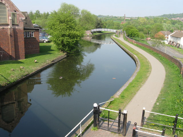
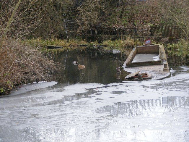
Baptist End is also known for its natural beauty and outdoor recreational opportunities. The surrounding countryside offers ample opportunities for walking, cycling, and exploring nature. Nearby attractions include the Wren's Nest National Nature Reserve, renowned for its geological significance and diverse wildlife.

In terms of amenities, Baptist End has limited facilities within the village itself. However, residents can easily access a wider range of services in nearby Sedgley, including schools, shops, and healthcare facilities.

Overall, Baptist End is a peaceful and charming village, offering a serene lifestyle and close proximity to both nature and urban centers.

If you have any feedback on the listing, please let us know in the comments section below.
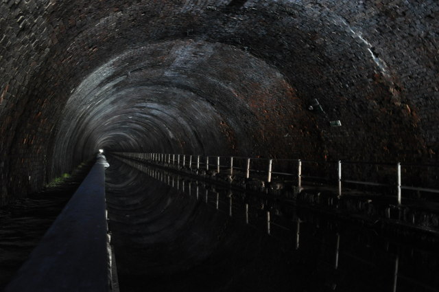
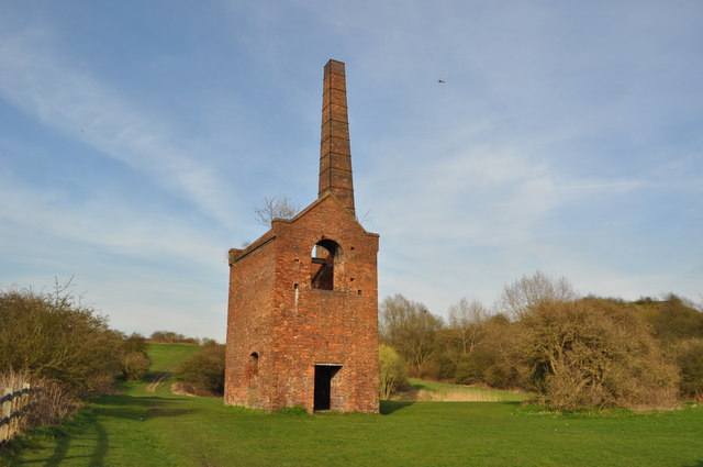
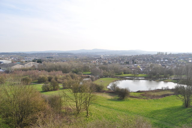
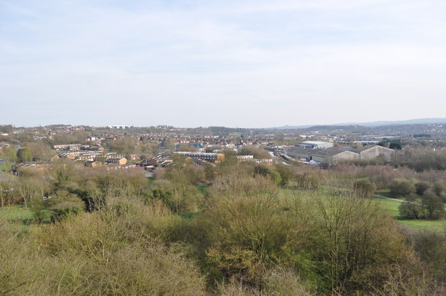
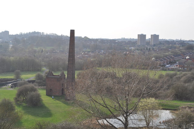
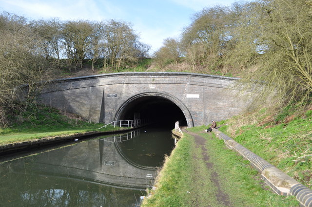
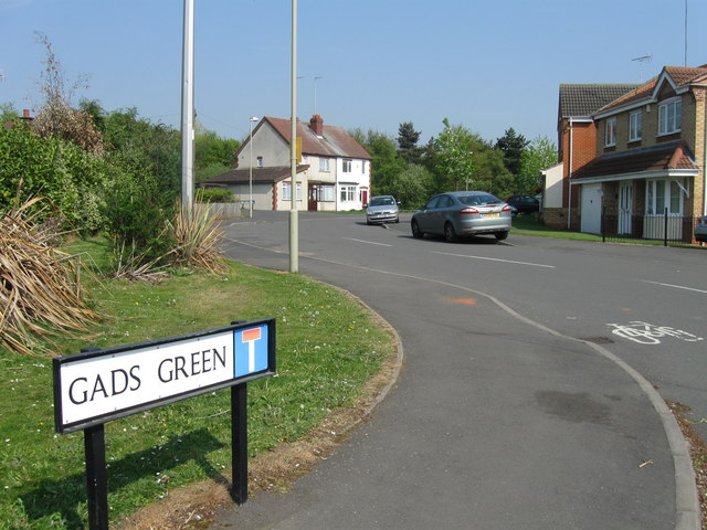
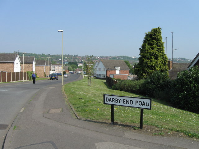
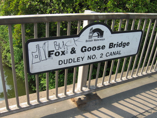
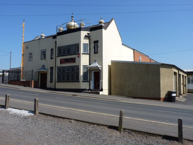
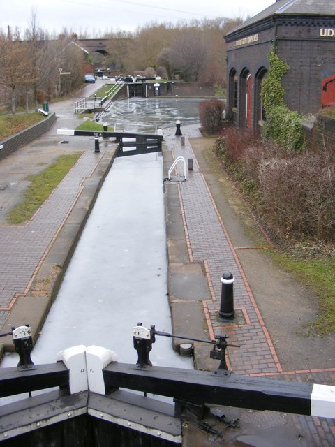
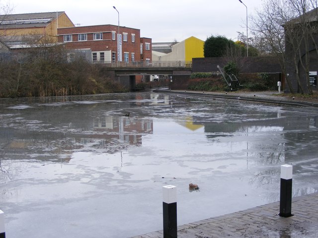
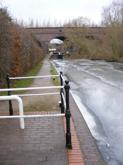
Baptist End Images

Images are sourced within 2km of 52.4966/-2.080982 or Grid Reference SO9488. Thanks to Geograph Open Source API. All images are credited.

Netherton Tunnel The last tunnel built at a cost of over £300,000 it opened on the 20th of August 1858. It was built with two tow paths and wide enough for two boats. Thus it eased congestion in the narrow Dudley tunnel that had to be legged through. It's over 2.5km long, straight and now unlit. Take a torch!

This is a 20 second exposure without a tripod, I plan to go again with one as some fantastic photographs are possible.
Netherton Tunnel
The last tunnel built at a cost of over £300,000 it opened on the 20th of August 1858. It was built with two tow paths and wide enough for two boats. Thus it eased congestion in the narrow Dudley tunnel that had to be legged through. It's over 2.5km long, straight and now unlit. Take a torch! This is a 20 second exposure without a tripod, I plan to go again with one as some fantastic photographs are possible.
Cobb's Engine House A view of the scheduled ancient monument, one of the earliest pumps. Due to a fault (geological) the mine here produced vast quantities of water. This engine pumped it into the canal. The overgrown spoil heap is to the right. 
The mine produced coal and fireclay (seat earth).
Cobb's Engine House
A view of the scheduled ancient monument, one of the earliest pumps. Due to a fault (geological) the mine here produced vast quantities of water. This engine pumped it into the canal. The overgrown spoil heap is to the right. The mine produced coal and fireclay (seat earth).
View from the spoil heap An ex colliery spoil heap.
View from the spoil heap
An ex colliery spoil heap.
View from the spoil heap An ex colliery spoil heap. <a href="https://www.geograph.org.uk/photo/2324618">SO9588 : View from the spoil heap</a>
View from the spoil heap
An ex colliery spoil heap. SO9588 : View from the spoil heap
Cobb's Engine House A view of the schedules ancient monument, one of the earliest pumps. Due to a fault (geological) the mine here produced vast quantities of water. This engine pumped it into the canal. The overgrown spoil heap is to the right.
The mine produced coal and fireclay (seat earth).
<a href="https://www.geograph.org.uk/photo/2324610">SO9588 : Cobb's Engine House</a>
Cobb's Engine House
A view of the schedules ancient monument, one of the earliest pumps. Due to a fault (geological) the mine here produced vast quantities of water. This engine pumped it into the canal. The overgrown spoil heap is to the right. The mine produced coal and fireclay (seat earth). SO9588 : Cobb's Engine House
Netherton Canal Tunnel The last tunnel built at a cost of over £300,000 it opened on the 20th of August 1858. It was built with two tow paths and wide enough for two boats. Thus it eased congestion in the narrow Dudley tunnel that had to be legged through. It's over 2.5km long, straight and now unlit. Take a torch!

<a href="https://www.geograph.org.uk/photo/2324578">SO9690 : Netherton Tunnel</a> <a href="https://www.geograph.org.uk/photo/2324567">SO9690 : Netherton Tunnel</a> <a href="https://www.geograph.org.uk/photo/2324592">SO9689 : Netherton Tunnel</a> <a href="https://www.geograph.org.uk/photo/2324587">SO9689 : Netherton Tunnel</a> <a href="https://www.geograph.org.uk/photo/2324559">SO9690 : Netherton Tunnel</a>
Netherton Canal Tunnel
The last tunnel built at a cost of over £300,000 it opened on the 20th of August 1858. It was built with two tow paths and wide enough for two boats. Thus it eased congestion in the narrow Dudley tunnel that had to be legged through. It's over 2.5km long, straight and now unlit. Take a torch! SO9690 : Netherton Tunnel SO9690 : Netherton Tunnel SO9689 : Netherton Tunnel SO9689 : Netherton Tunnel SO9690 : Netherton Tunnel
Gads Green, Sandwell
Darby End Road, Darby End
Fox & Goose bridge, Dudley No 2 Canal
Dudley No 2 Canal
Dudley No 2 Canal
W Devenport & Sons, Clothing Manufacturers The former premises of the business of that name, built in 1866, but clearly no longer in use, and looking ripe for demolition or redevelopment. This is on Churchfield Street, opposite Brooke Street.
W Devenport & Sons, Clothing Manufacturers
The former premises of the business of that name, built in 1866, but clearly no longer in use, and looking ripe for demolition or redevelopment. This is on Churchfield Street, opposite Brooke Street.
Dudley Gospel Hall, Hellier Street Located at the junction of Birmingham Street with Castle Hill
Dudley Gospel Hall, Hellier Street
Located at the junction of Birmingham Street with Castle Hill
The Dudley Gurdwara  - Guru Teg Bahadur Sahib The Sikh temple on the corner of Vicar Street and Church Street, Dudley.
The Dudley Gurdwara - Guru Teg Bahadur Sahib
The Sikh temple on the corner of Vicar Street and Church Street, Dudley.
Frozen Locks The view of the Park Head Junction from Peartree Lane, Dudley.
Frozen Locks
The view of the Park Head Junction from Peartree Lane, Dudley.
Frozen Canal The view of the basin at Park Head Junction off Peartree Lane, Dudley.
Frozen Canal
The view of the basin at Park Head Junction off Peartree Lane, Dudley.
Frozen Canal View The view of the canal at Park Head Junction off Peartree Lane, Dudley.
Frozen Canal View
The view of the canal at Park Head Junction off Peartree Lane, Dudley.
Frozen Barge The view of the canal at Park Head Junction off Peartree Lane, Dudley.
Frozen Barge
The view of the canal at Park Head Junction off Peartree Lane, Dudley.
Viaduct Lock The view of the locks at Park Head Viaduct at the junction of Dudley No 1 and No 2 canal off Peartree Lane.
Viaduct Lock
The view of the locks at Park Head Viaduct at the junction of Dudley No 1 and No 2 canal off Peartree Lane.
Show me another place!

Baptist End is located at Grid Ref: SO9488 (Lat: 52.4966, Lng: -2.080982)

Unitary Authority: Dudley

Police Authority: West Midlands

What 3 Words

///toxic.crab.vote. Near Dudley, West Midlands

Nearby Locations

Baptist End

Related Wikis

Baptist End railway station

Baptist End railway station was a station on the former Great Western Railway's Bumble Hole Line between Blowers Green and Old Hill. It opened in 1905...

The Link Academy

The Link Academy, formerly known as the Hillcrest School and Community College, is a secondary school located in the Netherton area of Dudley, West Midlands...

Buffery Park

Buffery Park is a park of the Metropolitan Borough of Dudley, in the Paradise area of Dudley, West Midlands, England. It has a range of leisure facilities...

Netherton, West Midlands

Netherton is an area of the Metropolitan Borough of Dudley, 1.5 miles (2 km) south of Dudley town centre in the West Midlands of England, but historically...

Nearby Amenities

Located within 500m of 52.4966,-2.080982
Turning Circle
Source: bing
Lat/Long: 52.4939671/-2.0796627
Bus Stop
Lister Rd / Baptist End Rd
Bus: yes
Naptan AtcoCode: 43000880401
Naptan Bearing: S
Naptan BusStopType: MKD
Naptan CommonName: Baptist End Rd
Naptan Indicator: before
Naptan Landmark: White Lion
Naptan NaptanCode: nwmpamdm
Naptan PlusbusZoneRef: BHAMNWS
Naptan Status: ACT
Naptan StopType: BCT
Naptan Street: LISTER RD
Naptan Towards: Netherton
Naptan Verified: no
Public Transport: platform
Route Ref: 81
Source: WMCA
Lat/Long: 52.4987086/-2.0798555
Bus Stop
Lister Rd / Baptist End Rd
NaPTANAreaCode: 43000880402
Bus: yes
Naptan AtcoCode: 43000880402
Naptan Bearing: NW
Naptan BusStopType: MKD
Naptan CommonName: Baptist End Rd
Naptan Indicator: after
Naptan Landmark: White Lion
Naptan NaptanCode: nwmpamdp
Naptan PlusbusZoneRef: BHAMNWS
Naptan Status: ACT
Naptan StopType: BCT
Naptan Street: LISTER RD
Naptan Towards: Dudley
Naptan Verified: no
Public Transport: platform
Route Ref: 81
Shelter: yes
Shelter Ref: 405514
Source: WMCA
Lat/Long: 52.4986635/-2.0799585
Bus Stop
Buffery Rd / Summerfield Rd
Bus: yes
Naptan AtcoCode: 43000882301
Naptan Bearing: NE
Naptan BusStopType: MKD
Naptan CommonName: Summerfield Rd
Naptan Indicator: adj
Naptan NaptanCode: nwmpamjp
Naptan PlusbusZoneRef: BHAMNWS
Naptan Status: ACT
Naptan StopType: BCT
Naptan Street: BUFFERY RD
Naptan Towards: Dudley
Public Transport: platform
Route Ref: 124;244;276
Shelter: no
Source: WMCA
Towards: Dudley
Lat/Long: 52.4999234/-2.0778609
Bus Stop
Buffery Rd / Summerfield Rd
Bus: yes
Naptan AtcoCode: 43000882302
Naptan Bearing: SW
Naptan BusStopType: MKD
Naptan CommonName: Summerfield Rd
Naptan Indicator: opp
Naptan NaptanCode: nwmpamjt
Naptan PlusbusZoneRef: BHAMNWS
Naptan Status: ACT
Naptan StopType: BCT
Naptan Street: BUFFERY RD
Naptan Towards: Netherton
Public Transport: platform
Route Ref: 124;244;276
Shelter: no
Source: WMCA
Towards: Netherton
Lat/Long: 52.5000406/-2.0776015
Bus Stop
Buffery Rd / Lister Rd
NaPTANAreaCode: 43000882403
Bus: yes
Naptan AtcoCode: 43000882403
Naptan Bearing: SW
Naptan BusStopType: MKD
Naptan CommonName: Lister Rd
Naptan Indicator: before
Naptan Landmark: White Lion
Naptan NaptanCode: nwmpamjw
Naptan PlusbusZoneRef: BHAMNWS
Naptan Status: ACT
Naptan StopType: BCT
Naptan Street: BUFFERY RD
Naptan Towards: Netherton
Naptan Verified: no
Public Transport: platform
Route Ref: 124;244;276
Shelter: yes
Shelter Ref: 405516
Source: WMCA
Lat/Long: 52.498495/-2.0791832
Bus Stop
Buffery Rd / Lister Rd
NaPTANAreaCode: 43000882404
Bus: yes
Naptan AtcoCode: 43000882404
Naptan Bearing: NE
Naptan BusStopType: MKD
Naptan CommonName: Lister Rd
Naptan Indicator: after
Naptan Landmark: White Lion
Naptan NaptanCode: nwmpampa
Naptan PlusbusZoneRef: BHAMNWS
Naptan Status: ACT
Naptan StopType: BCT
Naptan Street: BUFFERY RD
Naptan Towards: Dudley
Naptan Verified: no
Public Transport: platform
Route Ref: 124;244;276
Shelter: yes
Shelter Ref: 405515
Source: WMCA
Lat/Long: 52.4985769/-2.0792841
Bus Stop
Cinder Bank / Simms Lane
NaPTANAreaCode: 43000884201
Bus: yes
Naptan AtcoCode: 43000884201
Naptan Bearing: N
Naptan BusStopType: MKD
Naptan CommonName: Simms Lane
Naptan Indicator: adj
Naptan NaptanCode: nwmpamtg
Naptan PlusbusZoneRef: BHAMNWS
Naptan Status: ACT
Naptan StopType: BCT
Naptan Street: CINDER BANK
Naptan Towards: Dudley
Naptan Verified: no
Public Transport: platform
Route Ref: 243
Shelter: yes
Shelter Ref: 406847
Source: WMCA
Lat/Long: 52.4954492/-2.0868314
Bus Stop
Cinder Bank / Simms Lane
NaPTANAreaCode: 43000884202
Bus: yes
Naptan AtcoCode: 43000884202
Naptan Bearing: S
Naptan BusStopType: MKD
Naptan CommonName: Simms Lane
Naptan Indicator: opp
Naptan NaptanCode: nwmpamtj
Naptan PlusbusZoneRef: BHAMNWS
Naptan Status: ACT
Naptan StopType: BCT
Naptan Street: CINDER BANK
Naptan Towards: Netherton
Public Transport: platform
Route Ref: 243
Shelter: yes
Shelter Ref: 406825
Source: WMCA
Lat/Long: 52.4963639/-2.0869657
Bus Stop
Baptist End Rd / Round St
Bus: yes
Naptan AtcoCode: 43000884301
Naptan Bearing: NE
Naptan BusStopType: MKD
Naptan CommonName: Round St
Naptan Indicator: adj
Naptan NaptanCode: nwmpamtm
Naptan PlusbusZoneRef: BHAMNWS
Naptan Status: ACT
Naptan StopType: BCT
Naptan Street: BAPTIST END RD
Naptan Towards: Dudley
Naptan Verified: no
Public Transport: platform
Route Ref: 81;124;244
Source: WMCA
Lat/Long: 52.495929/-2.0827669
Bus Stop
Baptist End Rd / Round St
Bus: yes
Naptan AtcoCode: 43000884302
Naptan Bearing: S
Naptan BusStopType: MKD
Naptan CommonName: Round St
Naptan Indicator: adj
Naptan NaptanCode: nwmpamtp
Naptan PlusbusZoneRef: BHAMNWS
Naptan Status: ACT
Naptan StopType: BCT
Naptan Street: BAPTIST END RD
Naptan Towards: Netherton
Naptan Verified: no
Public Transport: platform
Route Ref: 81;124;244
Source: WMCA
Lat/Long: 52.4951284/-2.082898
Bus Stop
Saint Peters Rd / Windsor Crescent
Bus: yes
Naptan AtcoCode: 43000886101
Naptan Bearing: SE
Naptan BusStopType: MKD
Naptan CommonName: Windsor Crescent
Naptan Indicator: adj
Naptan NaptanCode: nwmpapdt
Naptan PlusbusZoneRef: BHAMNWS
Naptan Status: ACT
Naptan StopType: BCT
Naptan Street: SAINT PETERS RD
Naptan Towards: Merry Hill
Naptan Verified: no
Public Transport: platform
Route Ref: 276
Source: WMCA
Lat/Long: 52.4945844/-2.0763866
Bus Stop
Saint Peters Rd / Windsor Crescent
Bus: yes
Naptan AtcoCode: 43000886102
Naptan Bearing: NW
Naptan BusStopType: MKD
Naptan CommonName: Windsor Crescent
Naptan Indicator: opp
Naptan NaptanCode: nwmpapdw
Naptan PlusbusZoneRef: BHAMNWS
Naptan Status: ACT
Naptan StopType: BCT
Naptan Street: SAINT PETERS RD
Naptan Towards: Dudley
Naptan Verified: no
Public Transport: platform
Route Ref: 276
Source: WMCA
Lat/Long: 52.4958957/-2.0781859
Old Phone: +44 1384 252911
Removed Amenity: telephone
Lat/Long: 52.4962695/-2.0869329
Post Box
Operator: Royal Mail
Operator Wikidata: Q638098
Post Box Type: pillar
Ref: DY2 61
Royal Cypher: GVIR
Royal Cypher Wikidata: Q33102169
Lat/Long: 52.4962342/-2.086925
Windmill End Junction
Historic Railway: junction
Railway: site
Lat/Long: 52.4966819/-2.0819091
Traffic Calming: bump
Lat/Long: 52.4960963/-2.0825416
Pub
Hope Tavern
Addr Housenumber: 50
Addr Postcode: DY2 9BB
Addr Street: Cinder Bank
Fhrs Id: 500279
Source Addr: FHRS Open Data
Lat/Long: 52.496108/-2.0867669
Barrier: cycle_barrier
Lat/Long: 52.4946702/-2.0787936
Barrier: yes
Lat/Long: 52.4990362/-2.081159
Barrier: bollard
Lat/Long: 52.4948719/-2.0842274
Generator Method: photovoltaic
Generator Output Electricity: yes
Generator Source: solar
Generator Type: solar_photovoltaic_panel
Location: roof
Power: generator
Lat/Long: 52.4990044/-2.079014
Baptist End
Historic Railway: station
Railway: site
Wikidata: Q4857630
Wikipedia: en:Baptist End railway station
Lat/Long: 52.496872/-2.0825298
The data included in this document is from www.openstreetmap.org. The data is made available under ODbL.

Have you been to Baptist End?

Leave your review of Baptist End below (or comments, questions and feedback).