Whitshiels Knowe
Hill, Mountain in Dumfriesshire
Scotland
Whitshiels Knowe
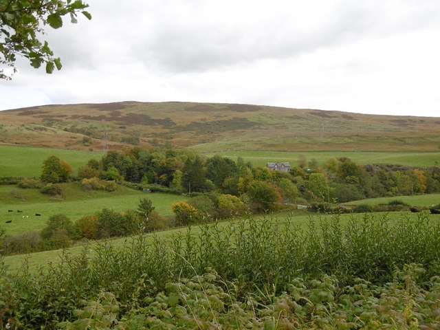
Whitshiels Knowe is a prominent hill located in Dumfriesshire, Scotland. Situated in the southern part of the country, this natural landmark offers breathtaking views and a tranquil atmosphere for visitors. With an elevation of approximately 467 meters (1,532 feet), it stands tall among the rolling hills of the region.
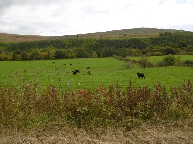
The hill is covered in lush greenery, with a variety of plant life creating a vibrant landscape. Heather, grasses, and wildflowers dot the slopes, adding bursts of color to the scenery. The hill is also home to a diverse range of wildlife, including birds, rabbits, and deer, making it a popular spot for nature enthusiasts and photographers.
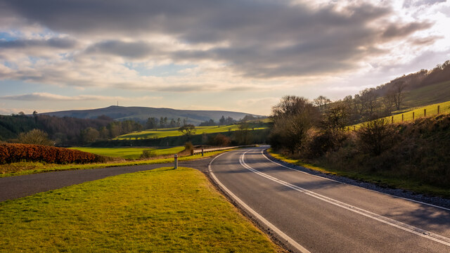
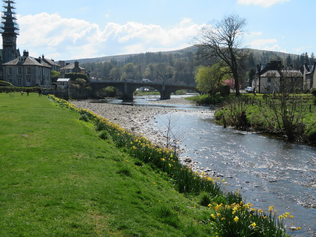
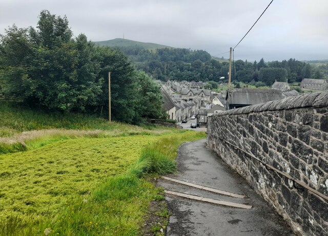
Whitshiels Knowe is easily accessible, with several walking trails leading up to its summit. The paths vary in difficulty, catering to both casual walkers and experienced hikers. Along the way, visitors can enjoy the peaceful surroundings and take in panoramic views of the surrounding countryside, including the picturesque village of Moffat.
At the top of Whitshiels Knowe, visitors are rewarded with breathtaking vistas that stretch for miles. On a clear day, it is possible to see the distant peaks of the Southern Uplands and the rolling hills of the Scottish Borders. The hill's summit is an ideal spot to sit and appreciate the natural beauty of the area, offering a sense of serenity and tranquility.
Overall, Whitshiels Knowe is a captivating hill in Dumfriesshire, Scotland, offering a memorable experience for nature enthusiasts and those seeking a peaceful retreat amidst stunning natural surroundings.
If you have any feedback on the listing, please let us know in the comments section below.
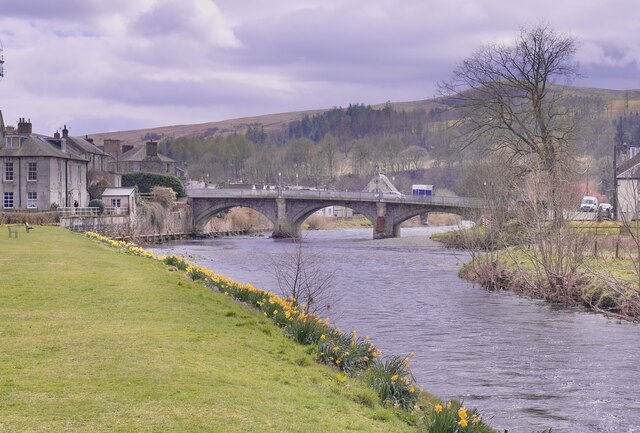
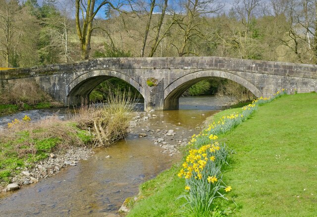
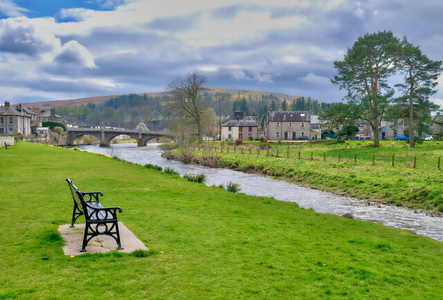
Whitshiels Knowe Images
Images are sourced within 2km of 55.159655/-2.9854987 or Grid Reference NY3785. Thanks to Geograph Open Source API. All images are credited.


Whitshiels Knowe is located at Grid Ref: NY3785 (Lat: 55.159655, Lng: -2.9854987)
Unitary Authority: Dumfries and Galloway
Police Authority: Dumfries and Galloway
What 3 Words
///stews.entitle.mourner. Near Langholm, Dumfries & Galloway
Nearby Locations
Related Wikis

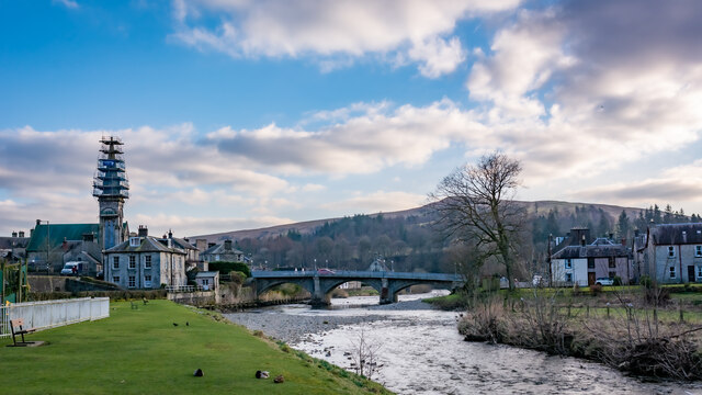
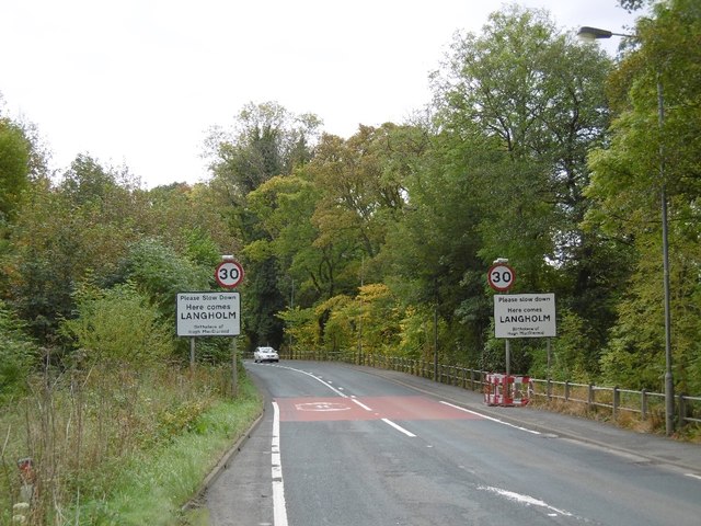
Langholm
Langholm , also known colloquially as the "Muckle Toon", is a burgh in Dumfries and Galloway, southern Scotland. Langholm lies between four hills in the...

Langholm Town Hall
Langholm Town Hall is a municipal building in the High Street in Langholm, Dumfries and Galloway, Scotland. The structure, which is used as a community...

Langholm Academy
Langholm Academy is a non-denominational, co-educational six-year comprehensive secondary school in Langholm, Scotland. Currently, the school has 240 pupils...

Thomas Hope Hospital
Thomas Hope Hospital is a health facility in Strand Street, Langholm, Dumfries and Galloway, Scotland. It is managed by NHS Dumfries and Galloway. ��2...

Battle of Arkinholm
The Battle of Arkinholm was fought on 1 May 1455, at Arkinholm near Langholm in Scotland, during the reign of King James II of Scotland. Although a small...

Langholm railway station
Langholm railway station served the burgh of Langholm, Dumfries and Galloway, Scotland from 1864 to 1967 on the Border Union Railway. == History == The...

Duchess Bridge
The Duchess Bridge is a cast iron footbridge over the River Esk in Dumfries and Galloway, Scotland. It was built for Charles Montagu-Scott, 4th Duke of...
Wauchope Castle
Wauchope Castle was a castle located at Wauchope, in Dumfries and Galloway, Scotland. The castle was a stronghold of the Lindsay family. It was the caput...
Nearby Amenities
Located within 500m of 55.159655,-2.9854987Have you been to Whitshiels Knowe?
Leave your review of Whitshiels Knowe below (or comments, questions and feedback).