Berry Hillock
Hill, Mountain in Angus
Scotland
Berry Hillock

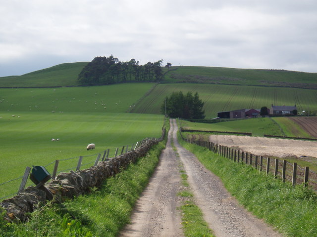
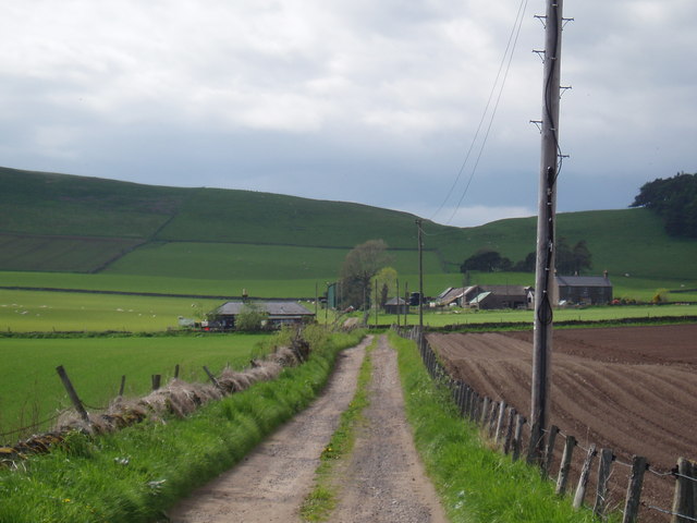
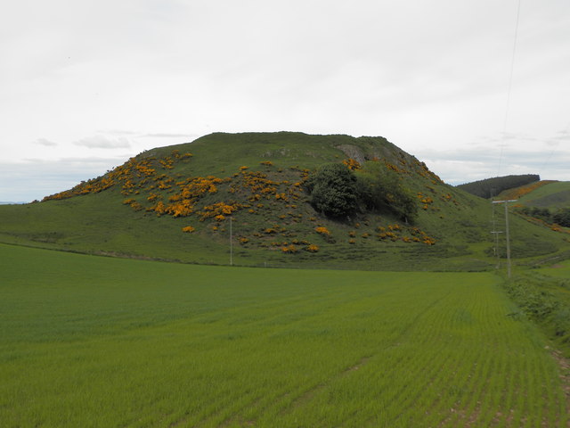
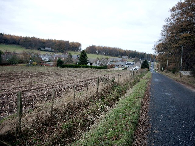
Berry Hillock is a prominent hill located in the county of Angus, Scotland. Standing at an elevation of approximately 293 meters (961 feet), it is considered a notable landmark in the area. The hill is situated near the village of Newbigging, about 8 kilometers (5 miles) northwest of the town of Forfar.
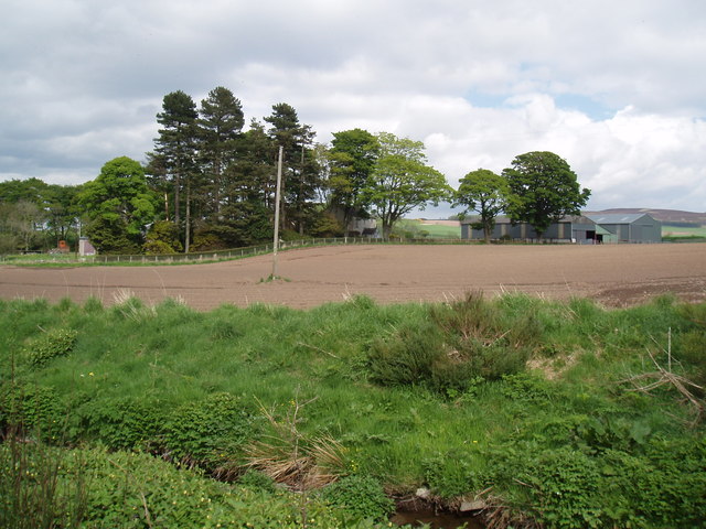
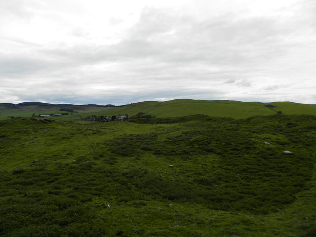
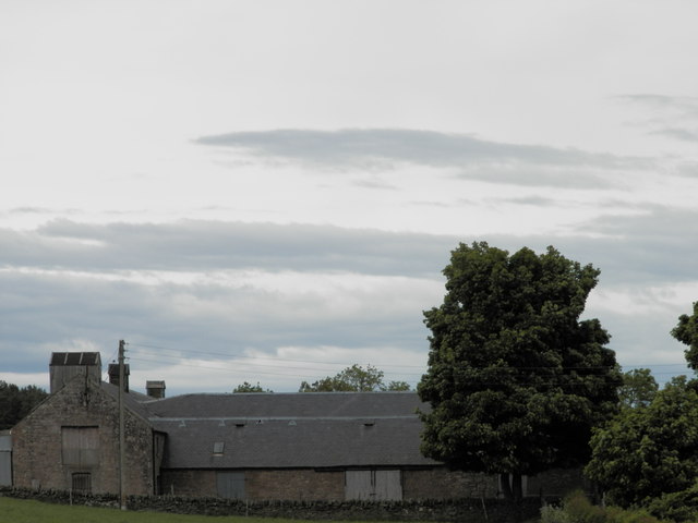
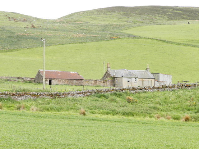
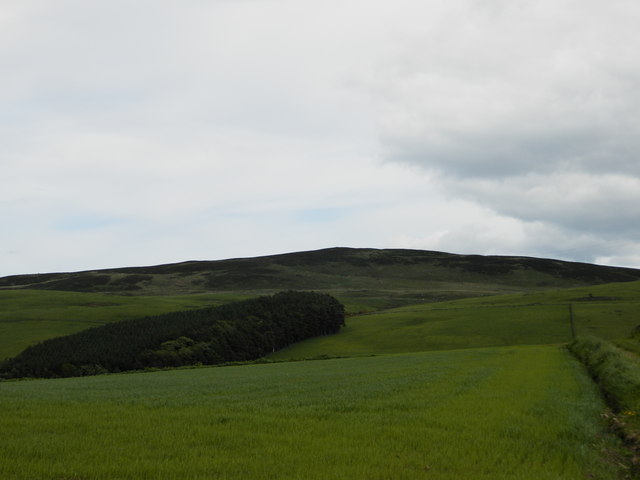
Berry Hillock is characterized by its rounded and grassy summit, offering panoramic views of the surrounding countryside. Its slopes are covered in heather, bracken, and patches of scattered trees, providing a picturesque and natural landscape. The hill is also home to a diverse range of wildlife, including various bird species, rabbits, and hares.
The hill is easily accessible to visitors, with several walking paths and trails leading to the summit. These paths are well-maintained, making it a popular destination for hikers and nature enthusiasts. On a clear day, it is possible to see as far as the Cairngorms National Park and the Grampian Mountains from the top of Berry Hillock.
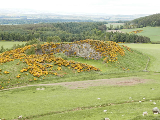
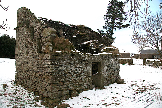
Aside from its natural beauty, Berry Hillock also has historical significance. It is believed that the hill was once used as a site for ancient ceremonies and rituals, dating back to prehistoric times. The remains of a burial cairn have been discovered on the hill, further adding to its historical appeal.
Overall, Berry Hillock is a stunning hill in Angus, Scotland, offering a combination of natural beauty, wildlife, and historical interest. Whether it be for hiking, bird-watching, or simply enjoying the breathtaking views, Berry Hillock is a must-visit destination for those exploring the region.
If you have any feedback on the listing, please let us know in the comments section below.
Berry Hillock Images
Images are sourced within 2km of 56.587884/-3.0225081 or Grid Reference NO3744. Thanks to Geograph Open Source API. All images are credited.


Berry Hillock is located at Grid Ref: NO3744 (Lat: 56.587884, Lng: -3.0225081)
Unitary Authority: Angus
Police Authority: Tayside
What 3 Words
///notched.depravity.forgiving. Near Kirriemuir, Angus
Nearby Locations
Related Wikis

Milton of Ogilvie
Milton is a hamlet in Angus, Scotland situated near Glamis. Considerable early history is in the general area including Glamis Castle and the Eassie Stone...
Charleston, Angus
Charleston is a village in Angus, Scotland near Glamis.The village of Charleston came into being in the 1830s. In 1833, the proprietor of the lands of...

Ark Hill
Ark Hill is a mountainous landform within the Sidlaw Hills in Angus, Scotland. This location has been proposed as a windfarm for generating renewable...
Glamis
Glamis is a small village in Angus, Scotland, located 5 miles (8 km) south of Kirriemuir and 5 miles (8 km) southwest of Forfar. It is the location of...
Angus Folk Museum
Angus Folk Museum was a centre for agricultural history and rural life located near Forfar, Angus. It was located in the village of Glamis off the A94...

Glamis Manse Stone
The Glamis Manse Stone, also known as Glamis 2, is a Class II Pictish stone at the village of Glamis, Angus, Scotland. Dating from the 9th century, it...

Hunter's Hill Stone
The Hunter's Hill Stone, otherwise known as the Glamis 1 Stone, is a Class II Pictish standing stone at Hunter's Hill to the south east of Glamis village...
Wester Denoon
Wester Denoon is a small settlement in Angus, Scotland. Approximately one mile to the north of Wester Denoon is the village of Eassie, where the Eassie...
Nearby Amenities
Located within 500m of 56.587884,-3.0225081Have you been to Berry Hillock?
Leave your review of Berry Hillock below (or comments, questions and feedback).