Longrigging Hill

Hill, Mountain in Aberdeenshire

Scotland

Longrigging Hill

Moorland bog Featureless, other than to note that this was a particularly boggy stretch.
Moorland bog Credit: Peter Aikman

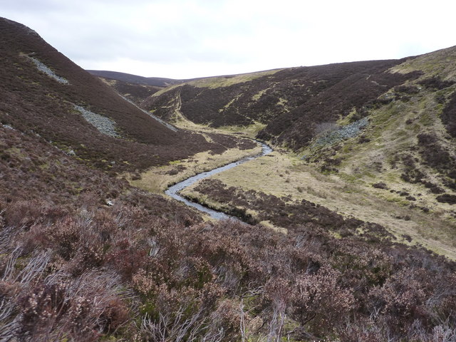
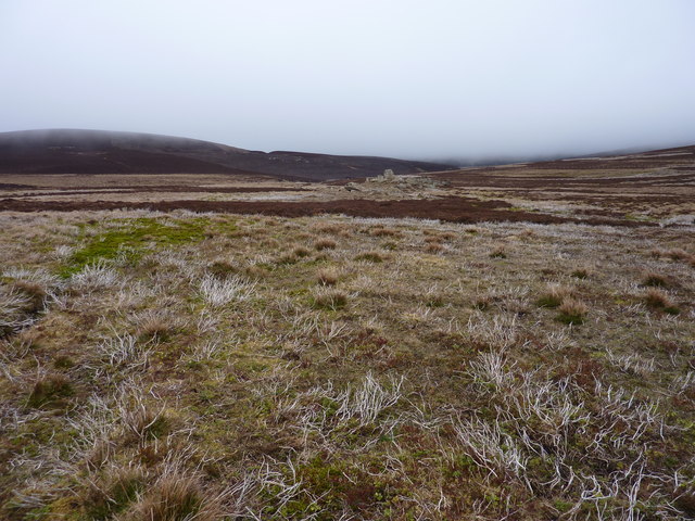
Longrigging Hill is a prominent hill located in the county of Aberdeenshire, Scotland. Situated in the northeastern region of the country, this hill is part of the picturesque Scottish Highlands. It stands at an elevation of approximately 484 meters (1,588 feet) above sea level, offering breathtaking panoramic views of the surrounding landscape.

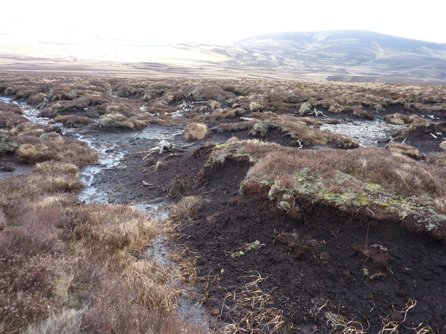
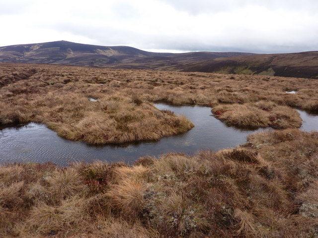
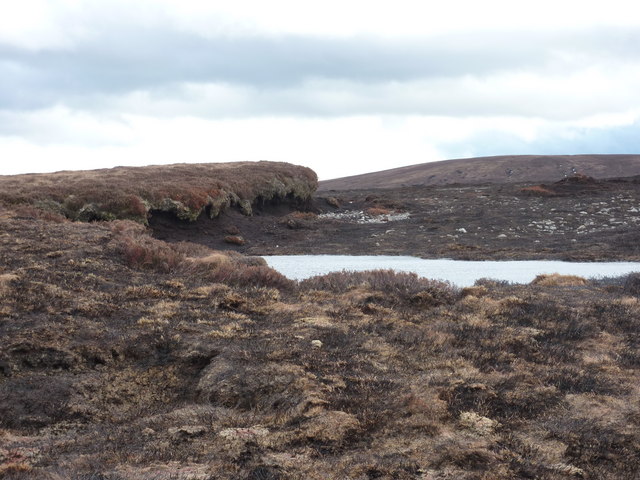
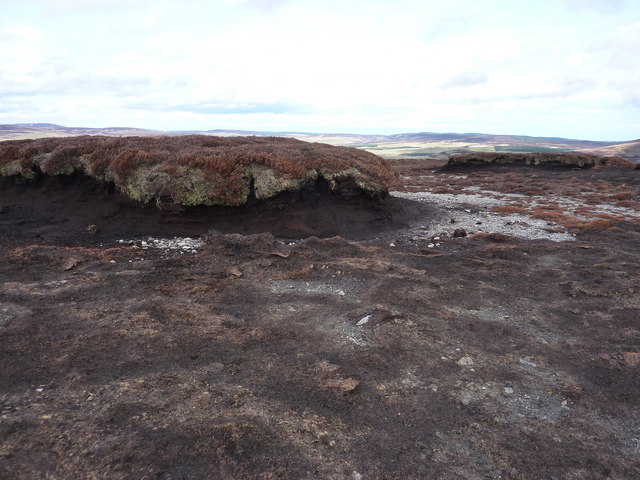
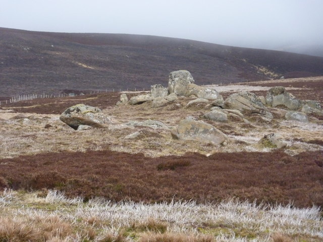
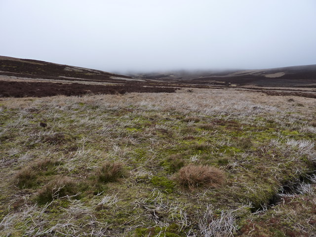
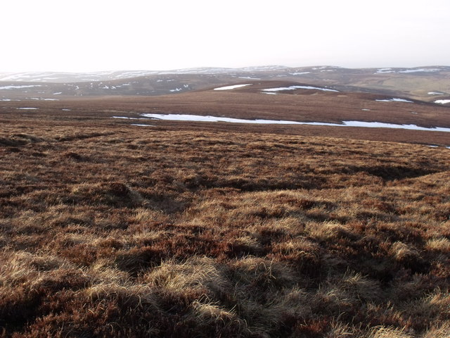
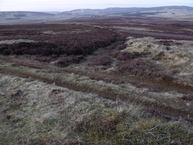
Longrigging Hill is characterized by its rugged terrain and is covered with heather and grass, adding to its natural beauty. The hill is accessible via various walking trails and paths that cater to both experienced hikers and casual walkers. These trails wind their way through the hill's slopes, providing visitors with an opportunity to explore and appreciate the stunning Scottish countryside.

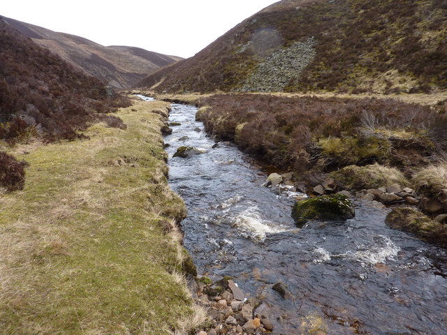
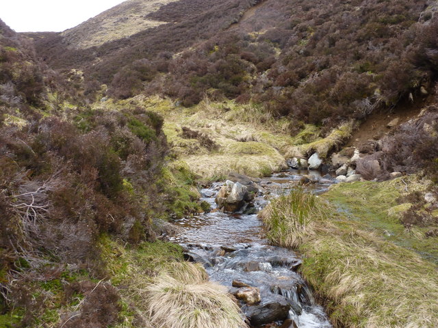
The hill is a popular destination for outdoor activities such as hiking, hillwalking, and nature photography. Its elevated position allows visitors to enjoy sweeping vistas of the surrounding countryside, including rolling hills, meandering rivers, and distant mountains.

Longrigging Hill is also home to a diverse range of wildlife, including birds, mammals, and plant species. Birdwatchers can spot species such as red grouse, peregrine falcons, and golden eagles soaring above the hill. The hill's slopes are also inhabited by deer, foxes, and various smaller mammals.

Due to its proximity to nearby towns and villages, Longrigging Hill attracts both locals and tourists alike, seeking a peaceful escape or a challenging outdoor adventure. The hill's natural beauty, combined with its accessibility, makes it a must-visit destination for nature enthusiasts and those looking to immerse themselves in the tranquility of the Scottish Highlands.

If you have any feedback on the listing, please let us know in the comments section below.

Longrigging Hill Images

Images are sourced within 2km of 57.288493/-3.0485356 or Grid Reference NJ3622. Thanks to Geograph Open Source API. All images are credited.

Moorland bog Featureless, other than to note that this was a particularly boggy stretch.
Moorland bog
Featureless, other than to note that this was a particularly boggy stretch.
Peat haggs in the moorland As the haggs are eroded, the old roots of a long-lost forest are exposed
Peat haggs in the moorland
As the haggs are eroded, the old roots of a long-lost forest are exposed
Moorland with an ancient drain There are many such drains cut a long time ago to try and drain the moor
Moorland with an ancient drain
There are many such drains cut a long time ago to try and drain the moor
A pond in the bog on the moor In the distance - The Buck of the Cabrach
A pond in the bog on the moor
In the distance - The Buck of the Cabrach
The start of the Allt Deveron Two burns converge just above here, but, although this is now a fair-sized burn, this stretch is unnamed on the map. I take it to be the start of the Deveron. It was a bonny spot, and sheltered from the wind for lunch.
The start of the Allt Deveron
Two burns converge just above here, but, although this is now a fair-sized burn, this stretch is unnamed on the map. I take it to be the start of the Deveron. It was a bonny spot, and sheltered from the wind for lunch.
Moorland burn in a deep valley An unnamed stretch, fed by smaller named burns. As this is now the largest burn in the area, I take it to be the Allt Deveron.
Moorland burn in a deep valley
An unnamed stretch, fed by smaller named burns. As this is now the largest burn in the area, I take it to be the Allt Deveron.
Burn of Allanssheal A small tributary burn. Going up to the left, a deer track. There are no other tracks around here.
Burn of Allanssheal
A small tributary burn. Going up to the left, a deer track. There are no other tracks around here.
One of many moorland burns converging in the area
Moorland burn The steepness of the valley slopes has created a few areas of scree.
Moorland burn
The steepness of the valley slopes has created a few areas of scree.
Moorland on western slopes of Sand Hill
The top of Sand Hill The patch of grass and heather overhanging the peat hagg is the summit of Sand Hill
The top of Sand Hill
The patch of grass and heather overhanging the peat hagg is the summit of Sand Hill
The peat hagg at the top of Sand Hill
Gale making waves on a small pond in the bog near the top of Sand Hill It was blowing a gale most of the day
Gale making waves on a small pond in the bog near the top of Sand Hill
It was blowing a gale most of the day
Moorland east of Allt Sowan Hill With low cloud heading my way.
Moorland east of Allt Sowan Hill
With low cloud heading my way.
Pile of rocks exposed on the moor
Typical moorland and typical weather on the N.E. flank of Allt Sowan Hill A cold front is producing low cloud/mist. The heather moor is for grouse, and large areas are burnt. The area is particularly boring.
Typical moorland and typical weather on the N.E. flank of Allt Sowan Hill
A cold front is producing low cloud/mist. The heather moor is for grouse, and large areas are burnt. The area is particularly boring.
Meikle Garronach over the course of Keirn Burn in the Cabrach
Track junction north-east of Keirn in the Cabrach
Show me another place!

Longrigging Hill is located at Grid Ref: NJ3622 (Lat: 57.288493, Lng: -3.0485356)

Unitary Authority: Moray

Police Authority: North East

What 3 Words

///brightens.clocking.golf. Near Dufftown, Moray

Related Wikis

Peatfold Burn

Peatfold Burn is a burn which marks the boundary of the parish of Huntly, Aberdeenshire, Scotland. == References ==

Badenyon

Badenyon (from Scottish Gaelic: Bad an Eòin - Knoll of the Birds) is a former clachan, or village, in Aberdeenshire, Scotland. The last farming inhabitant...

Badenyon Castle

Badenyon Castle was a castle, dating from the 13th century around 7.5 miles (12.1 km) west of Kildrummy, north of Coulins Burn, in Aberdeenshire, Scotland...

Cabrach

The Cabrach (Scottish Gaelic: A' Chabrach, A' Chabraich) is an estate and largely depopulated rural community in Moray, Scotland. The meaning of the name...

Have you been to Longrigging Hill?

Leave your review of Longrigging Hill below (or comments, questions and feedback).