Hurst Green

Settlement in Lancashire Ribble Valley

England

Hurst Green

Wayside shelter At the junction of Whalley Road and Knowles Brow. It is probably a bus stop but no sign indicates what the shelter is.
Wayside shelter Credit: philandju

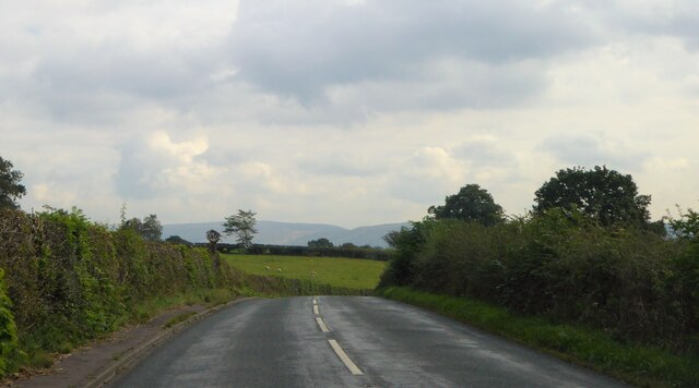
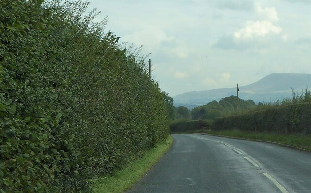
Hurst Green is a small village located in the Ribble Valley district of Lancashire, England. Situated on the edge of the Forest of Bowland, it is surrounded by picturesque countryside and offers a tranquil setting for residents and visitors alike. The village is located approximately 8 miles northeast of Blackburn and 13 miles northwest of Burnley.

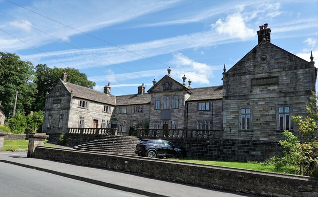
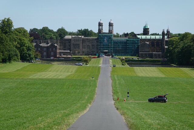
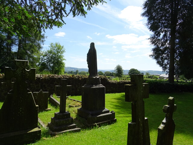
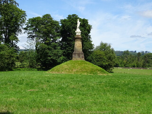
Hurst Green is known for its historical significance, with its origins dating back to the medieval period. It is believed that the village was named after a holy well located in the area, attracting pilgrims in the past. Today, remnants of its rich history can still be seen in the form of historic buildings, such as Stonyhurst College, a renowned Jesuit boarding school founded in the 16th century.

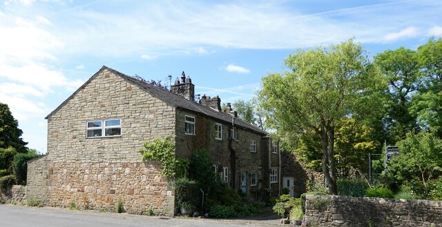
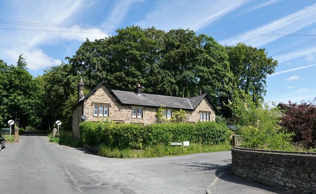
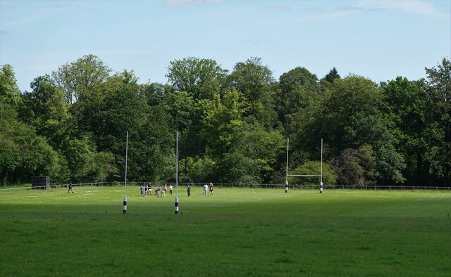
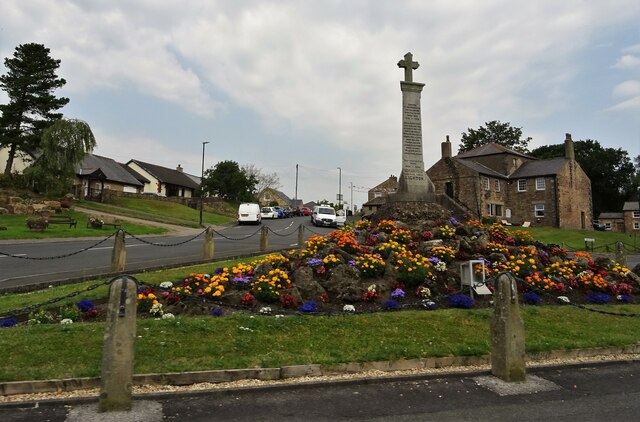
The village itself is small but charming, with a close-knit community. It boasts a few local amenities, including a village hall, a primary school, a post office, and a couple of pubs. The surrounding countryside offers ample opportunities for outdoor activities such as walking, cycling, and birdwatching.

Hurst Green is well-connected to nearby towns and cities, with regular bus services and easy access to major road networks. It is also conveniently located near the Ribble Valley railway line, providing direct train connections to Preston and beyond.

All in all, Hurst Green is a peaceful and idyllic village that combines its rich history with the beauty of its natural surroundings, making it a charming place to live or visit.

If you have any feedback on the listing, please let us know in the comments section below.
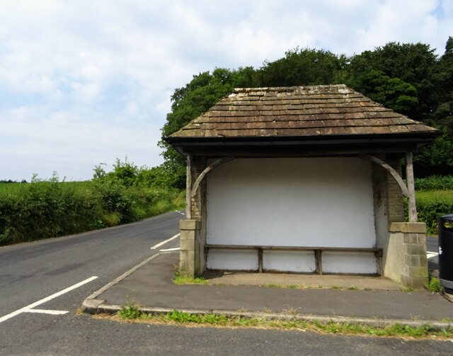
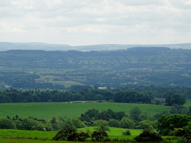
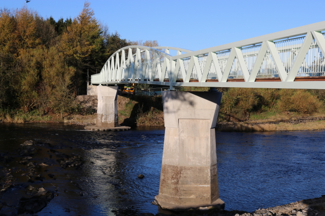
Hurst Green Images

Images are sourced within 2km of 53.839546/-2.477918 or Grid Reference SD6838. Thanks to Geograph Open Source API. All images are credited.

Wayside shelter At the junction of Whalley Road and Knowles Brow. It is probably a bus stop but no sign indicates what the shelter is.
Wayside shelter
At the junction of Whalley Road and Knowles Brow. It is probably a bus stop but no sign indicates what the shelter is.
View of the Ribble Valley From Birdy Brow near Hurst Green.
View of the Ribble Valley
From Birdy Brow near Hurst Green.
'New' Dinckley Footbridge over River Ribble Replacement footbridge over River Ribble at Dinckley replacing the one that was badly damaged in the Boxing Day floods of 2015
'New' Dinckley Footbridge over River Ribble
Replacement footbridge over River Ribble at Dinckley replacing the one that was badly damaged in the Boxing Day floods of 2015
Cottages at Hurst Green On Avenue Road.
Cottages at Hurst Green
On Avenue Road.
Shireburn Cottages The building was originally at Kemple on Longridge Fell and was constructed in 1706 as almshouses. The structure was removed to this site in 1946 when extensions were added. The building is grade II* listed.
Shireburn Cottages
The building was originally at Kemple on Longridge Fell and was constructed in 1706 as almshouses. The structure was removed to this site in 1946 when extensions were added. The building is grade II* listed.
Houses in Hurst Green At the junction of Smithy Row and Avenue Road. Smithy Row is a private road and public footpath.
Houses in Hurst Green
At the junction of Smithy Row and Avenue Road. Smithy Row is a private road and public footpath.
Rugby practice Students of Stonyhurst College hone their skills.
Rugby practice
Students of Stonyhurst College hone their skills.
The mausoleum at Hurst Green The building, which is grade II listed is in St. Joseph's cemetery
The mausoleum at Hurst Green
The building, which is grade II listed is in St. Joseph's cemetery
Stonyhurst College The college is a private R.C. school, founded in 1593. Alumni include Alfred Austin (appointed poet laureate in 1896), Sir Arthur Conan Doyle, Bill Cash M.P., and the recently deceased peace activist Bruce Kent.
Stonyhurst College
The college is a private R.C. school, founded in 1593. Alumni include Alfred Austin (appointed poet laureate in 1896), Sir Arthur Conan Doyle, Bill Cash M.P., and the recently deceased peace activist Bruce Kent.
Remains of the Punch Bowl The pub on Longridge Road outside Hurst Green was a grade II listed building. It was demolished without notification to or permission from the relevant authority, who have now ordered the owners to rebuild the structure.
Remains of the Punch Bowl
The pub on Longridge Road outside Hurst Green was a grade II listed building. It was demolished without notification to or permission from the relevant authority, who have now ordered the owners to rebuild the structure.
Humorous sign With a serious message.
Humorous sign
With a serious message.
From The Avenue in Hurst Green
St. Joseph's R.C. cemetery By the side of The Avenue at Stonyhurst.
St. Joseph's R.C. cemetery
By the side of The Avenue at Stonyhurst.
Statue of the Virgin Mary The recently refurbished statue stands by The Avenue at Stonyhurst.
Statue of the Virgin Mary
The recently refurbished statue stands by The Avenue at Stonyhurst.
Hurst Green war memorial With pretty flowers in full bloom.
Hurst Green war memorial
With pretty flowers in full bloom.
Longridge Road Approaching Hurst Green.
Longridge Road
Approaching Hurst Green.
Entering Hurst Green On Longridge Road.
Entering Hurst Green
On Longridge Road.
Whalley Road To the east of Hurst Green. Pendle Hill is on the skyline.
Whalley Road
To the east of Hurst Green. Pendle Hill is on the skyline.
Show me another place!

Hurst Green is located at Grid Ref: SD6838 (Lat: 53.839546, Lng: -2.477918)

Administrative County: Lancashire

District: Ribble Valley

Police Authority: Lancashire

What 3 Words

///appoints.relishes.canine. Near Billington, Lancashire

Related Wikis

Hurst Green, Lancashire

Hurst Green is a small village in the Ribble Valley district of Lancashire, England, connected in its history to the Jesuit school, Stonyhurst College...
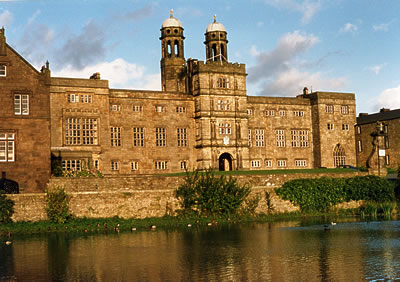
Stonyhurst

Stonyhurst is the name of a 1,000-acre (4 km2) rural estate owned by the Society of Jesus near Clitheroe in Lancashire, England. It is centred on Stonyhurst...

Aighton, Bailey and Chaigley

Aighton, Bailey and Chaigley is a civil parish in the Borough of Ribble Valley in Lancashire, England, just west of Clitheroe. The population of the civil...

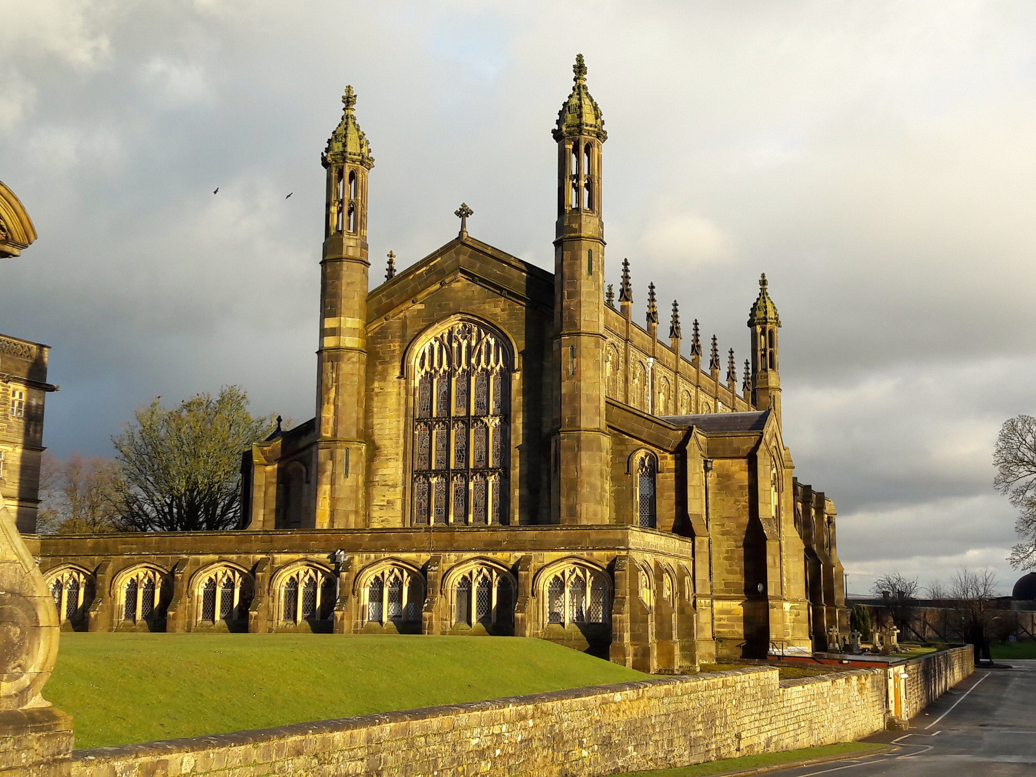
St Peter's Church, Stonyhurst

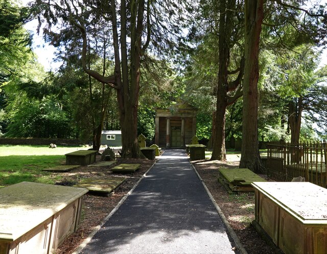
St Peter's Church is a Roman Catholic Parish Church in Stonyhurst. It is the parish church for Hurst Green, Lancashire and a chapel for Stonyhurst College...

Nearby Amenities

Located within 500m of 53.839546,-2.477918
Hurst Green
Place: village
Source: npe
Lat/Long: 53.8381391/-2.4788543
Telephone
Booth: KX100
Covered: booth
Lat/Long: 53.8364454/-2.4800265
Post Box
Post Box Type: wall
Royal Cypher: GR
Royal Cypher Wikidata: Q33102273
Lat/Long: 53.8365847/-2.4793685
Lady Statue
Artwork Type: sculpture
Tourism: artwork
Wikipedia: en:Stonyhurst#Monuments
Lat/Long: 53.8419504/-2.483118
Entrance: yes
Lat/Long: 53.8392794/-2.4809678
Historic: memorial
Lat/Long: 53.8365994/-2.4797139
Give Way
Direction: forward
Lat/Long: 53.83646/-2.4798462
Generator Method: photovoltaic
Generator Output Electricity: yes
Generator Source: solar
Generator Type: solar_photovoltaic_panel
Location: roof
Power: generator
Lat/Long: 53.8366633/-2.4782034
Generator Method: photovoltaic
Generator Output Electricity: yes
Generator Source: solar
Generator Type: solar_photovoltaic_panel
Location: roof
Power: generator
Lat/Long: 53.8368065/-2.4770173
Generator Method: photovoltaic
Generator Output Electricity: yes
Generator Source: solar
Generator Type: solar_photovoltaic_panel
Location: roof
Power: generator
Lat/Long: 53.8357682/-2.4811157
Generator Method: photovoltaic
Generator Output Electricity: yes
Generator Source: solar
Generator Type: solar_photovoltaic_panel
Location: roof
Power: generator
Lat/Long: 53.8358157/-2.4807456
Generator Method: photovoltaic
Generator Output Electricity: yes
Generator Source: solar
Generator Type: solar_photovoltaic_panel
Location: roof
Power: generator
Lat/Long: 53.8358173/-2.48059
Generator Method: photovoltaic
Generator Output Electricity: yes
Generator Source: solar
Generator Type: solar_photovoltaic_panel
Location: roof
Power: generator
Lat/Long: 53.8398969/-2.4802239
Shelter
Shelter Type: public_transport
Lat/Long: 53.8363591/-2.4800621
Give Way
Direction: backward
Lat/Long: 53.8367364/-2.4798775
Give Way
Direction: forward
Lat/Long: 53.8366461/-2.4794968
Shelter
Shelter Type: public_transport
Lat/Long: 53.8363496/-2.4796777
Post Box
Post Box Type: wall
Royal Cypher: EIIR
Royal Cypher Wikidata: Q33102113
Lat/Long: 53.839247/-2.481337
Defibrillator
Defibrillator Location: outside Village Hall - facing playground
Emergency: defibrillator
Indoor: no
Lat/Long: 53.8390691/-2.4805767
Advertising: board
Lat/Long: 53.838852/-2.4811092
The data included in this document is from www.openstreetmap.org. The data is made available under ODbL.

Have you been to Hurst Green?

Leave your review of Hurst Green below (or comments, questions and feedback).