Fox Fall Wood

Wood, Forest in Lancashire Ribble Valley

England

Fox Fall Wood

Old Wayside Cross south of Old Clitheroe Road Kemple End Cross, or the Cross of St Paulinus, is a wayside cross with old head, shaft and base. Set beside a footpath in a field south of the Old Clitheroe Road in Aighton, Bailey and Chaigley parish. Reference <span class="nowrap"><a title="https://thejournalofantiquities.com/category/the-kemple-end-cross/" rel="nofollow ugc noopener" href="https://thejournalofantiquities.com/category/the-kemple-end-cross/">Link</a><img style="margin-left:2px;" alt="External link" title="External link - shift click to open in new window" src="https://s1.geograph.org.uk/img/external.png" width="10" height="10"/></span>. Grade II Listed <span class="nowrap"><a title="https://historicengland.org.uk/listing/the-list/list-entry/1146900" rel="nofollow ugc noopener" href="https://historicengland.org.uk/listing/the-list/list-entry/1146900">Link</a><img style="margin-left:2px;" alt="External link" title="External link - shift click to open in new window" src="https://s1.geograph.org.uk/img/external.png" width="10" height="10"/></span>. See also <span class="nowrap"><a title="https://www.flickr.com/photos/67668518@N08/9725412982" rel="nofollow ugc noopener" href="https://www.flickr.com/photos/67668518@N08/9725412982">Link</a><img style="margin-left:2px;" alt="External link" title="External link - shift click to open in new window" src="https://s1.geograph.org.uk/img/external.png" width="10" height="10"/></span>.

Milestone Society National ID: LARV_AIG01
Old Wayside Cross south of Old Clitheroe Road Credit: S Lister

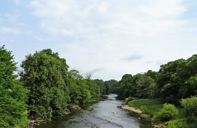
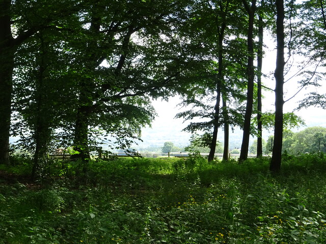
Fox Fall Wood is a picturesque forest located in Lancashire, England. It is situated in the heart of the countryside, offering visitors a tranquil and serene escape from the bustling city life. Covering an area of approximately 50 acres, the wood is known for its diverse range of trees, wildlife, and stunning natural beauty.

The wood is predominantly made up of broadleaf trees such as oak, beech, and birch, which create a dense canopy overhead, providing shade and shelter to the woodland floor below. The forest floor is covered in a thick carpet of moss, ferns, and wildflowers, adding to the enchanting ambiance of the area.

The woodland is home to a variety of wildlife, including foxes, which have given the wood its name. Other creatures that can be spotted here include deer, rabbits, squirrels, and a multitude of bird species, making it a popular spot for birdwatchers and nature enthusiasts.

Fox Fall Wood offers several walking trails, allowing visitors to explore the forest at their own pace. These well-maintained paths wind through the trees, offering glimpses of hidden clearings, babbling brooks, and even a small pond. The wood also boasts a picnic area, where visitors can relax and enjoy a packed lunch amidst the peaceful surroundings.

Throughout the year, the wood undergoes a beautiful transformation as the seasons change. In spring, the forest comes alive with vibrant colors as the trees burst into leaf and wildflowers bloom. In autumn, the woodland is a stunning spectacle of reds, oranges, and yellows as the leaves change, creating a breathtaking display.

In conclusion, Fox Fall Wood in Lancashire is a haven for nature lovers, offering a peaceful retreat filled with stunning scenery, diverse wildlife, and a range of walking trails to explore.

If you have any feedback on the listing, please let us know in the comments section below.

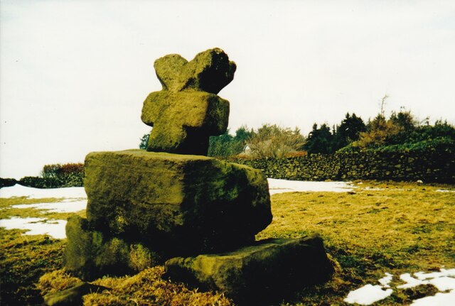
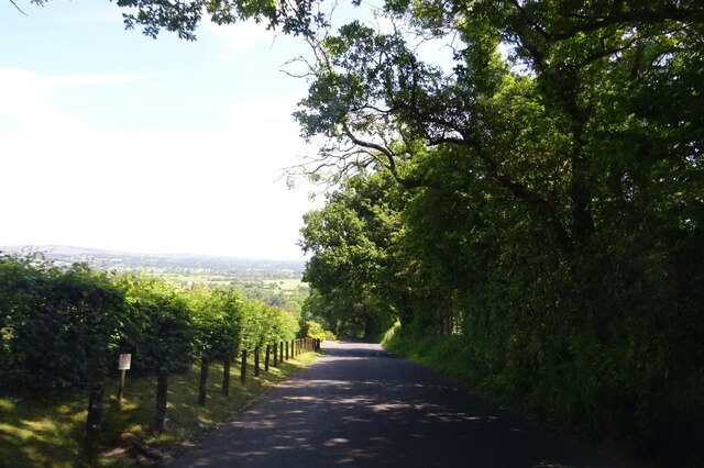
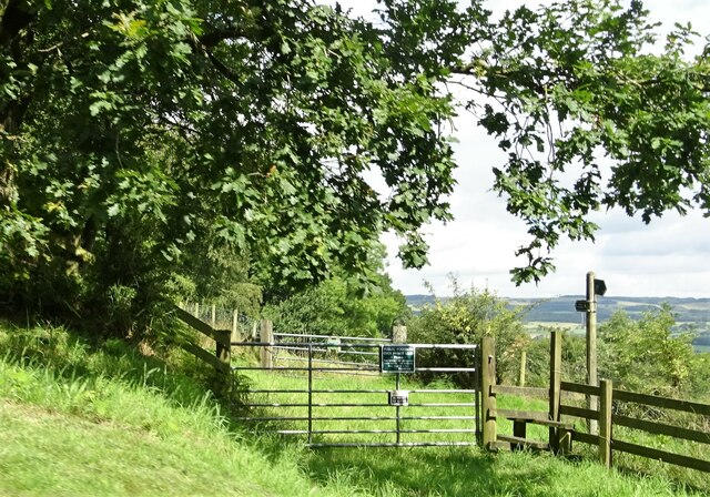
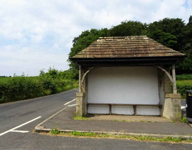
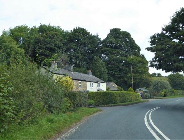
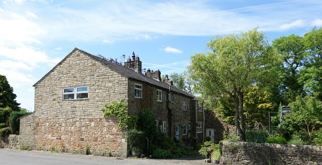
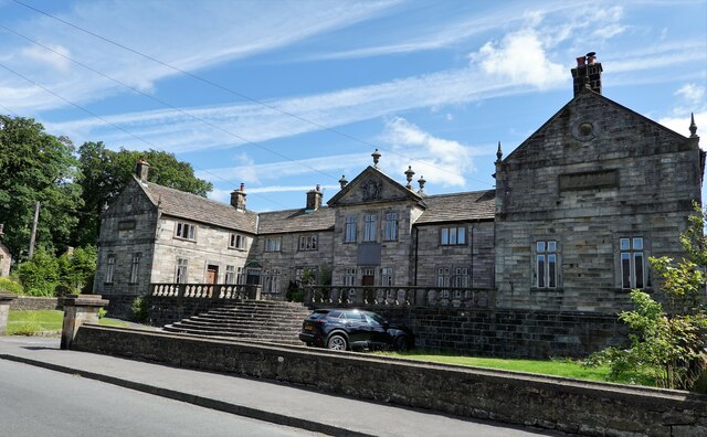
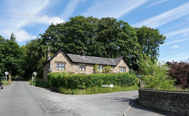
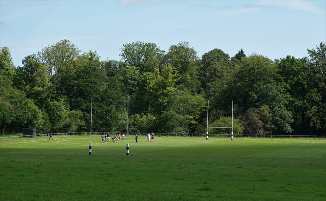
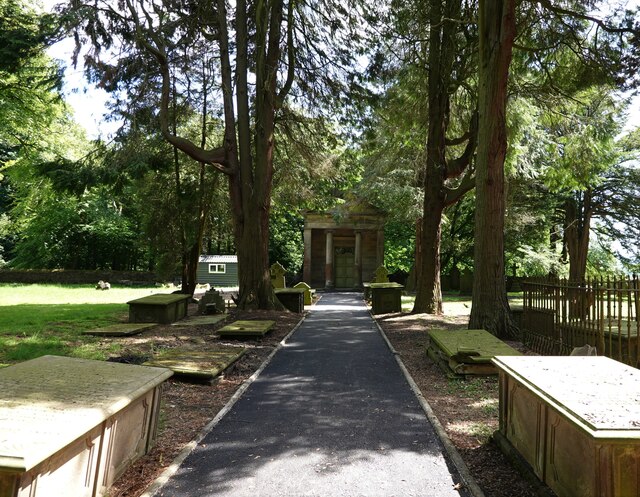
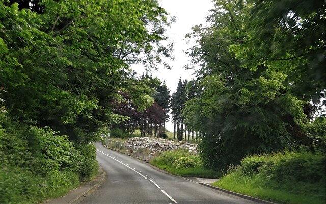
Fox Fall Wood Images

Images are sourced within 2km of 53.843477/-2.4746512 or Grid Reference SD6838. Thanks to Geograph Open Source API. All images are credited.

Old Wayside Cross south of Old Clitheroe Road Kemple End Cross, or the Cross of St Paulinus, is a wayside cross with old head, shaft and base. Set beside a footpath in a field south of the Old Clitheroe Road in Aighton, Bailey and Chaigley parish. Reference <span class="nowrap"><a title="https://thejournalofantiquities.com/category/the-kemple-end-cross/" rel="nofollow ugc noopener" href="https://thejournalofantiquities.com/category/the-kemple-end-cross/">Link</a><img style="margin-left:2px;" alt="External link" title="External link - shift click to open in new window" src="https://s1.geograph.org.uk/img/external.png" width="10" height="10"/></span>. Grade II Listed <span class="nowrap"><a title="https://historicengland.org.uk/listing/the-list/list-entry/1146900" rel="nofollow ugc noopener" href="https://historicengland.org.uk/listing/the-list/list-entry/1146900">Link</a><img style="margin-left:2px;" alt="External link" title="External link - shift click to open in new window" src="https://s1.geograph.org.uk/img/external.png" width="10" height="10"/></span>. See also <span class="nowrap"><a title="https://www.flickr.com/photos/67668518@N08/9725412982" rel="nofollow ugc noopener" href="https://www.flickr.com/photos/67668518@N08/9725412982">Link</a><img style="margin-left:2px;" alt="External link" title="External link - shift click to open in new window" src="https://s1.geograph.org.uk/img/external.png" width="10" height="10"/></span>.

Milestone Society National ID: LARV_AIG01
Old Wayside Cross south of Old Clitheroe Road
Kemple End Cross, or the Cross of St Paulinus, is a wayside cross with old head, shaft and base. Set beside a footpath in a field south of the Old Clitheroe Road in Aighton, Bailey and Chaigley parish. Reference LinkExternal link. Grade II Listed LinkExternal link. See also LinkExternal link. Milestone Society National ID: LARV_AIG01
Birdy Brow Approaching Kemple End.
Birdy Brow
Approaching Kemple End.
Public footpath The path crosses private land and walkers are requested to keep strictly to the path.
Public footpath
The path crosses private land and walkers are requested to keep strictly to the path.
Wayside shelter At the junction of Whalley Road and Knowles Brow. It is probably a bus stop but no sign indicates what the shelter is.
Wayside shelter
At the junction of Whalley Road and Knowles Brow. It is probably a bus stop but no sign indicates what the shelter is.
River Hodder Looking north from Lower Hodder Bridge.
River Hodder
Looking north from Lower Hodder Bridge.
Lower Hodder Cottages On Whalley Road.
Lower Hodder Cottages
On Whalley Road.
Cottages at Hurst Green On Avenue Road.
Cottages at Hurst Green
On Avenue Road.
Shireburn Cottages The building was originally at Kemple on Longridge Fell and was constructed in 1706 as almshouses. The structure was removed to this site in 1946 when extensions were added. The building is grade II* listed.
Shireburn Cottages
The building was originally at Kemple on Longridge Fell and was constructed in 1706 as almshouses. The structure was removed to this site in 1946 when extensions were added. The building is grade II* listed.
Houses in Hurst Green At the junction of Smithy Row and Avenue Road. Smithy Row is a private road and public footpath.
Houses in Hurst Green
At the junction of Smithy Row and Avenue Road. Smithy Row is a private road and public footpath.
Rugby practice Students of Stonyhurst College hone their skills.
Rugby practice
Students of Stonyhurst College hone their skills.
The mausoleum at Hurst Green The building, which is grade II listed is in St. Joseph's cemetery
The mausoleum at Hurst Green
The building, which is grade II listed is in St. Joseph's cemetery
Stonyhurst College The college is a private R.C. school, founded in 1593. Alumni include Alfred Austin (appointed poet laureate in 1896), Sir Arthur Conan Doyle, Bill Cash M.P., and the recently deceased peace activist Bruce Kent.
Stonyhurst College
The college is a private R.C. school, founded in 1593. Alumni include Alfred Austin (appointed poet laureate in 1896), Sir Arthur Conan Doyle, Bill Cash M.P., and the recently deceased peace activist Bruce Kent.
Remains of the Punch Bowl The pub on Longridge Road outside Hurst Green was a grade II listed building. It was demolished without notification to or permission from the relevant authority, who have now ordered the owners to rebuild the structure.
Remains of the Punch Bowl
The pub on Longridge Road outside Hurst Green was a grade II listed building. It was demolished without notification to or permission from the relevant authority, who have now ordered the owners to rebuild the structure.
Humorous sign With a serious message.
Humorous sign
With a serious message.
From The Avenue in Hurst Green
St. Joseph's R.C. cemetery By the side of The Avenue at Stonyhurst.
St. Joseph's R.C. cemetery
By the side of The Avenue at Stonyhurst.
Statue of the Virgin Mary The recently refurbished statue stands by The Avenue at Stonyhurst.
Statue of the Virgin Mary
The recently refurbished statue stands by The Avenue at Stonyhurst.
Hurst Green war memorial With pretty flowers in full bloom.
Hurst Green war memorial
With pretty flowers in full bloom.
Show me another place!

Fox Fall Wood is located at Grid Ref: SD6838 (Lat: 53.843477, Lng: -2.4746512)

Administrative County: Lancashire

District: Ribble Valley

Police Authority: Lancashire

What 3 Words

///waters.dragging.laugh. Near Billington, Lancashire

Related Wikis

Related Videos

Tolkien Trail Circular Hike | Lancashire Walk

Today, me and my family explore the Tolkien Trail in Lancashire. People come from all over the world to walk the famous Tolkien ...

Tolkien Trail - Walking To Stonyhurst College

Me and my dad went to Tolkien Trail to see Stonyhurst College, my dad has never been to Stonyhurst College before and I have.

Walk 2 - Walking StonyHurst College via Dean Brook in Clitheroe - Footsteps of Tolkien all in 4K

This walk starts in the village of Hurst Green where you enter the first field via the road named "Smithy Row" with you entering the ...

Tolkien Trail, Walk From Hurst Green, Ribble Valley, Lancashire

The Tolkien Trail is a popular walk in the Ribble Valley, Lancashire. The walk starts at the Shireburn Arms in Hurst Green.

Nearby Amenities

Located within 500m of 53.843477,-2.4746512
Mini Roundabout
Lat/Long: 53.8472304/-2.4738248
Artwork Type: statue
Description: statue of the virgin mary
Tourism: artwork
Lat/Long: 53.8467887/-2.4732613
Bench
Lat/Long: 53.8467634/-2.4732398
Bench
Lat/Long: 53.8467887/-2.4731808
Tourism: artwork
Lat/Long: 53.8468046/-2.4710323
Artwork Type: statue
Tourism: artwork
Lat/Long: 53.8467493/-2.4733167
Entrance: yes
Lat/Long: 53.8470151/-2.4719807
Entrance: yes
Lat/Long: 53.8470474/-2.4727282
Entrance: yes
Lat/Long: 53.8468674/-2.4723963
Entrance: yes
Lat/Long: 53.8466731/-2.4721625
Entrance: yes
Lat/Long: 53.8470325/-2.47167
Entrance: yes
Lat/Long: 53.8469496/-2.4715641
Entrance: yes
Lat/Long: 53.8468774/-2.4710557
Entrance: yes
Lat/Long: 53.8472297/-2.4720052
Entrance: yes
Lat/Long: 53.8471954/-2.4720824
Barrier: door
Entrance: yes
Lat/Long: 53.8458276/-2.4721017
Barrier: door
Entrance: yes
Lat/Long: 53.8458693/-2.4720107
Traffic Calming: bump
Lat/Long: 53.8445765/-2.4705223
Barrier: door
Entrance: yes
Lat/Long: 53.84609/-2.4726213
Barrier: door
Entrance: yes
Lat/Long: 53.8460655/-2.4725909
The data included in this document is from www.openstreetmap.org. The data is made available under ODbL.

Have you been to Fox Fall Wood?

Leave your review of Fox Fall Wood below (or comments, questions and feedback).