Bareback Knowe

Hill, Mountain in Peeblesshire

Scotland

Bareback Knowe

Fence on Windlestraw Law Descending from the southern top of Windlestraw Law on a lovely but bitterly cold day.
Fence on Windlestraw Law Credit: Adam Ward

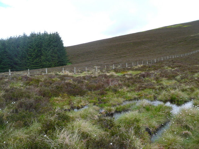
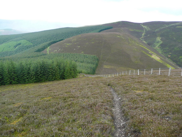
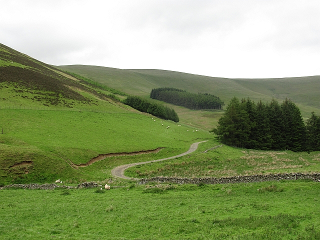
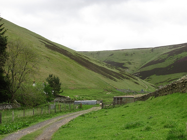
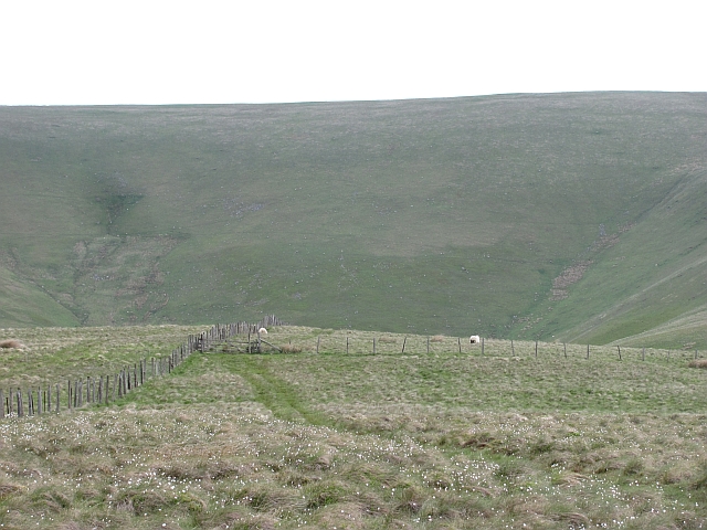
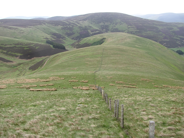
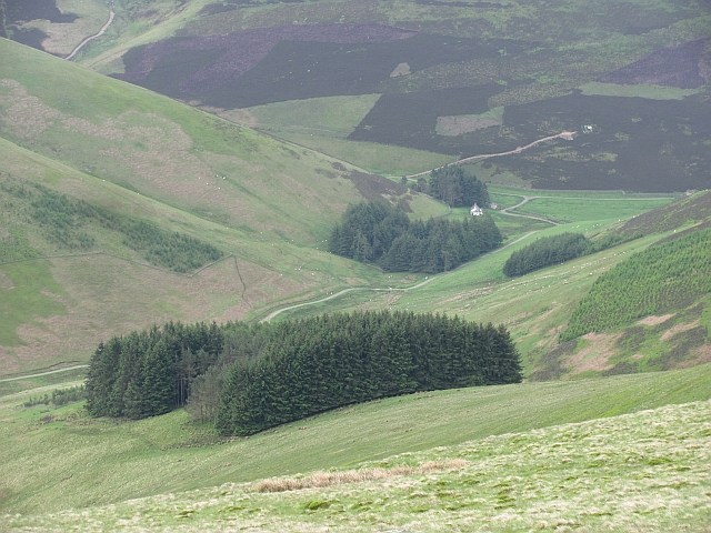
Bareback Knowe, located in Peeblesshire, is a prominent hill/mountain that offers stunning views and recreational opportunities for nature enthusiasts. Standing at an elevation of approximately 500 meters above sea level, it dominates the surrounding landscape with its distinctive shape and rugged terrain.

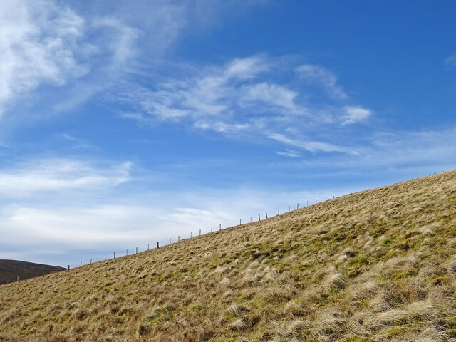
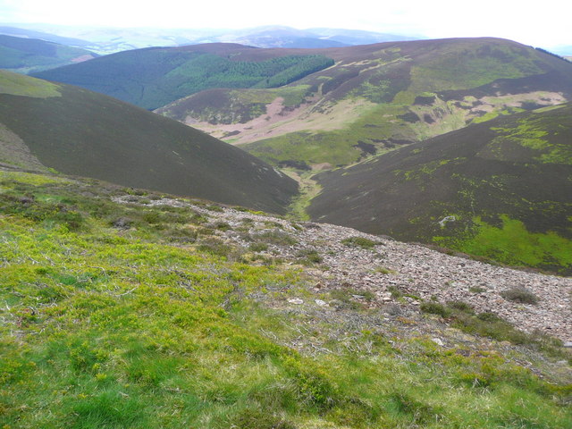
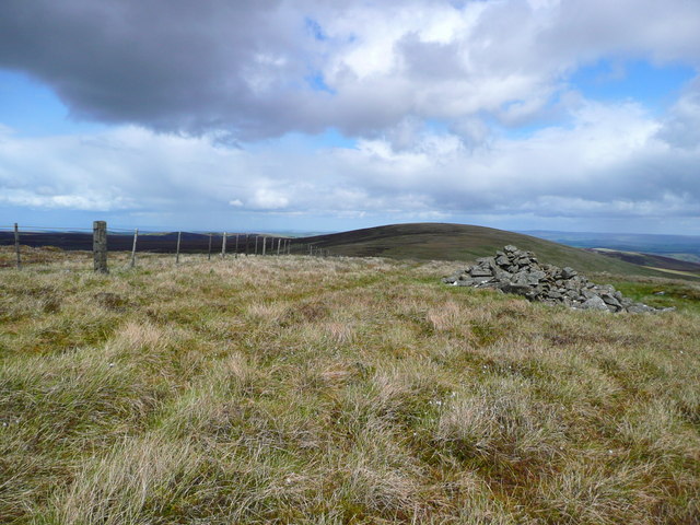
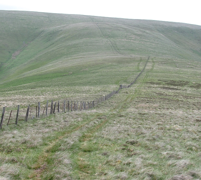
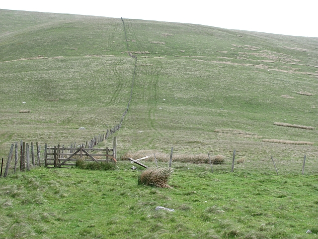
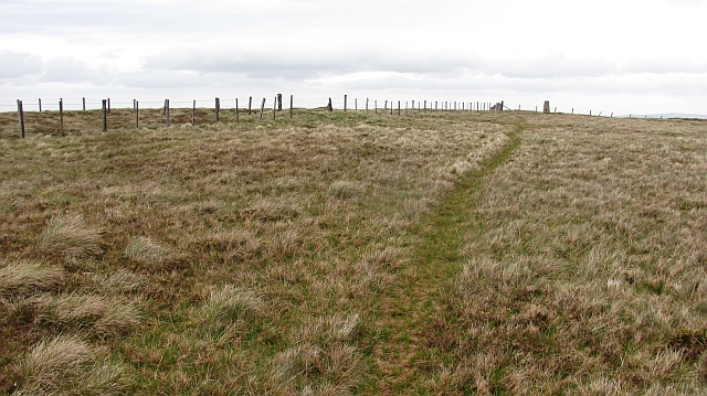
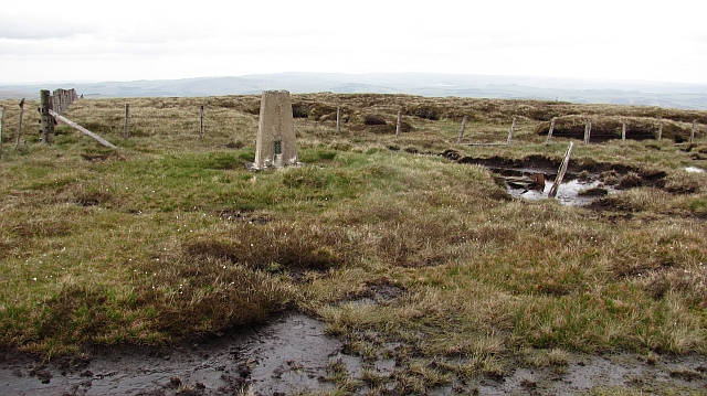
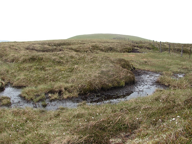
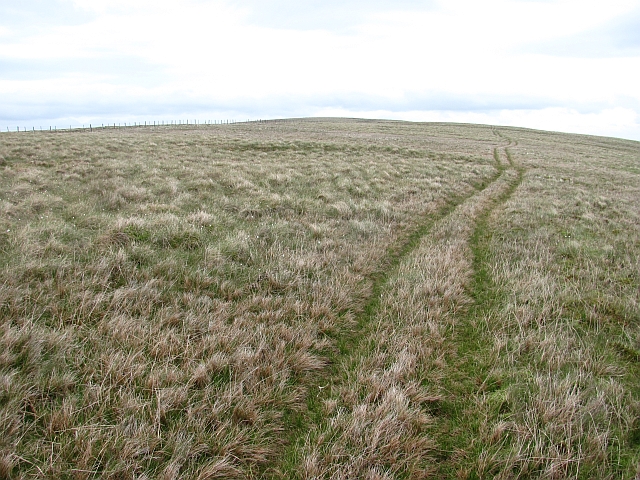
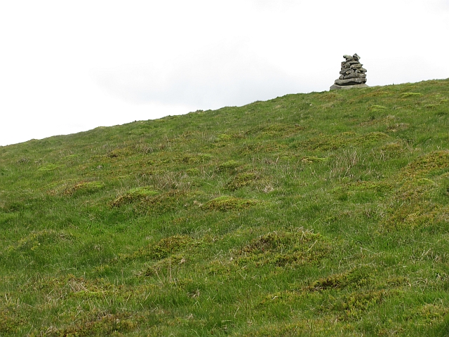
The hill/mountain is characterized by its bare, rocky slopes, hence the name Bareback Knowe. Its summit is marked by a prominent cairn, serving as a navigational landmark for hikers and climbers. The ascent to the top can be challenging but rewarding, as it presents breathtaking panoramic views of the surrounding countryside, including the rolling hills and picturesque valleys of Peeblesshire.

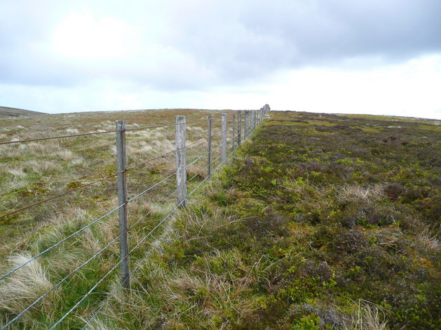
Bareback Knowe is a popular destination for outdoor activities such as hiking, hillwalking, and mountain biking. Its well-defined paths and trails attract both experienced adventurers and beginners looking to explore the area's natural beauty. The hill/mountain also provides an excellent opportunity for wildlife spotting, with various bird species, including raptors such as buzzards and kestrels, frequently seen soaring above.

The location of Bareback Knowe, within close proximity to Peebles, makes it easily accessible for day trips. Visitors can enjoy a peaceful and tranquil environment as they immerse themselves in the stunning Scottish countryside. Whether it's for a challenging hike or a leisurely walk, Bareback Knowe offers a memorable outdoor experience for all nature enthusiasts.

If you have any feedback on the listing, please let us know in the comments section below.

Bareback Knowe Images

Images are sourced within 2km of 55.667847/-3.0155164 or Grid Reference NT3642. Thanks to Geograph Open Source API. All images are credited.

Fence on Windlestraw Law Descending from the southern top of Windlestraw Law on a lovely but bitterly cold day.
Fence on Windlestraw Law
Descending from the southern top of Windlestraw Law on a lovely but bitterly cold day.
Western slopes of Scawd Law Looking down to the Walker Burn and over to Priesthope Hill (right) and Kirnie Law (left).
Western slopes of Scawd Law
Looking down to the Walker Burn and over to Priesthope Hill (right) and Kirnie Law (left).
Cairn on the south summit of Windlestraw Law The north, and higher, summit is the rise in the distance.
Cairn on the south summit of Windlestraw Law
The north, and higher, summit is the rise in the distance.
Fence on the SW ridge of Windlestraw Law
Soggy ground on the west ridge of Glede Knowe
The approach to Glede Knowe from Priesthope Hill The path descending here becomes eroded and awkward as it closes the forest - cross the fence to the other side as soon as possible!
The approach to Glede Knowe from Priesthope Hill
The path descending here becomes eroded and awkward as it closes the forest - cross the fence to the other side as soon as possible!
Caberston One of the two glens which form Early Hope and Gate Hope. It contains a collection of small woods with steep grassy slopes falling from Windlestraw Law.
Caberston
One of the two glens which form Early Hope and Gate Hope. It contains a collection of small woods with steep grassy slopes falling from Windlestraw Law.
Seat Hope A steep sided glen under Windlestraw Law.
Seat Hope
A steep sided glen under Windlestraw Law.
Seathope Rig A wet ridge running off Windlestraw Law. View towards Windlestraw Law over the Caberston hollow.
Seathope Rig
A wet ridge running off Windlestraw Law. View towards Windlestraw Law over the Caberston hollow.
Seathope Rig A quad bike track runs up Windlestraw Law.
Seathope Rig
A quad bike track runs up Windlestraw Law.
Seathope Rig A broad ridge running up Windlestraw Law.
Seathope Rig
A broad ridge running up Windlestraw Law.
Seathope Rig Looking down the ridge towards Seathope Law on the other side of Seat Hope.
Seathope Rig
Looking down the ridge towards Seathope Law on the other side of Seat Hope.
Summit, Windlestraw Law Looking at the summit and the triangulation pillar beyond.
Summit, Windlestraw Law
Looking at the summit and the triangulation pillar beyond.
Triangulation pillar, Windlestraw Law In a slightly lower and boggier location near the summit.
Triangulation pillar, Windlestraw Law
In a slightly lower and boggier location near the summit.
Summit ridge, Windlestraw Law A broad boggy ridge between the two summits. A drier route can be found a little to the east.
Summit ridge, Windlestraw Law
A broad boggy ridge between the two summits. A drier route can be found a little to the east.
On Windlestraw Law A quad bike track to the east of the boggy crest of the ridge between the two highest summits.
On Windlestraw Law
A quad bike track to the east of the boggy crest of the ridge between the two highest summits.
Coronation Wood Looking down Black Cleuch Rig towards the once "E" shaped wood. The lower bit of the letter has been felled and replanted.
Coronation Wood
Looking down Black Cleuch Rig towards the once "E" shaped wood. The lower bit of the letter has been felled and replanted.
Cairn on Windlestraw Law The cairn is below the south top in a position which makes it visible on the skyline when looking up from Caberstongrains.
Cairn on Windlestraw Law
The cairn is below the south top in a position which makes it visible on the skyline when looking up from Caberstongrains.
Show me another place!

Bareback Knowe is located at Grid Ref: NT3642 (Lat: 55.667847, Lng: -3.0155164)

Unitary Authority: The Scottish Borders

Police Authority: The Lothians and Scottish Borders

What 3 Words

///hilltop.standards.shadows. Near Innerleithen, Scottish Borders

Nearby Locations

Bareback Knowe

Related Wikis

Windlestraw Law

Windlestraw Law is a hill in the Moorfoot Hills range, part of the Southern Uplands of Scotland. It is the highest peak of the range, and lies north of...

Walkerburn

Walkerburn (Scottish Gaelic: Allt an Fhùcadair) is a small village in the Scottish Borders area of Scotland, on the A72 about 8 miles (13 km) from Peebles...

The Kirna

The Kirna, known locally as Kirna House (previously also as Grangehill), is a Category A listed villa in Walkerburn, Peeblesshire, Scotland. It is one...

Walkerburn railway station

Walkerburn railway station served the village of Walkerburn, Scottish Borders, Scotland from 1867 to 1962 on the Peebles Railway. == History == The station...

Robert Smail's Printing Works

Robert Smail's Printing Works is a fully functional Victorian era letterpress printing works in the small Scottish Borders town of Innerleithen, now preserved...

Innerleithen

Innerleithen (Scottish Gaelic: Inbhir Leitheann) is a civil parish and a small town in the committee area of Tweeddale, in the Scottish Borders. It was...

Vale of Leithen F.C.

Vale of Leithen Football Club are a football club based in the town of Innerleithen, Scotland. They play in the East of Scotland League First Division...

Nether Horsburgh Castle

Nether Horsburgh Castle is a ruined tower house near Cardrona, in the Scottish Borders, in the former county of Peebleshire. It is situated at the back...

Nearby Amenities

Located within 500m of 55.667847,-3.0155164
Ele: 660
Natural: peak
Lat/Long: 55.6678128/-3.0154983
The data included in this document is from www.openstreetmap.org. The data is made available under ODbL.

Have you been to Bareback Knowe?

Leave your review of Bareback Knowe below (or comments, questions and feedback).