Walton Hill

Hill, Mountain in Fife

Scotland

Walton Hill

1A91 Edinburgh to Aberdeen service at Springfield
1A91 Edinburgh to Aberdeen service at Springfield Credit: Peter Moore

Walton Hill, located in Fife, Scotland, is a prominent hill that offers breathtaking views and attracts hikers and nature enthusiasts from near and far. Standing at an elevation of approximately 189 meters (620 feet), it is considered a prominent landmark in the area.

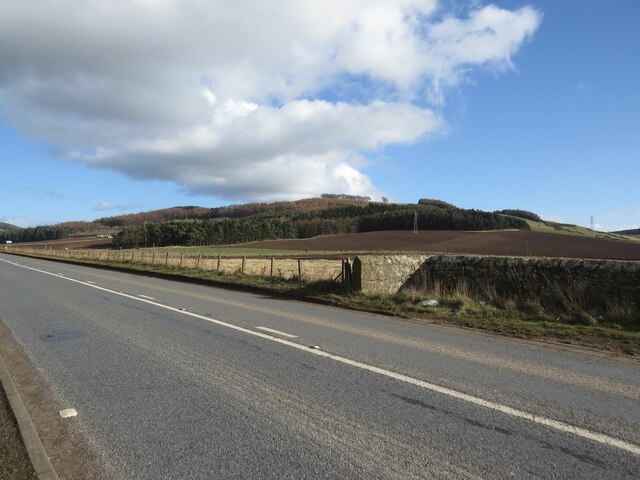
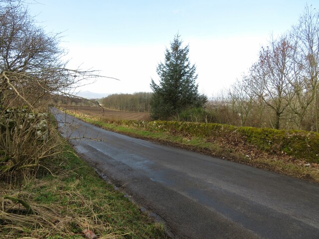
The hill is part of the Lomond Hills Regional Park, which covers an extensive area of natural beauty. Walton Hill is situated within the eastern section of the park, near the town of Glenrothes. Its location provides visitors with a convenient spot to enjoy outdoor activities and soak in the stunning scenery.

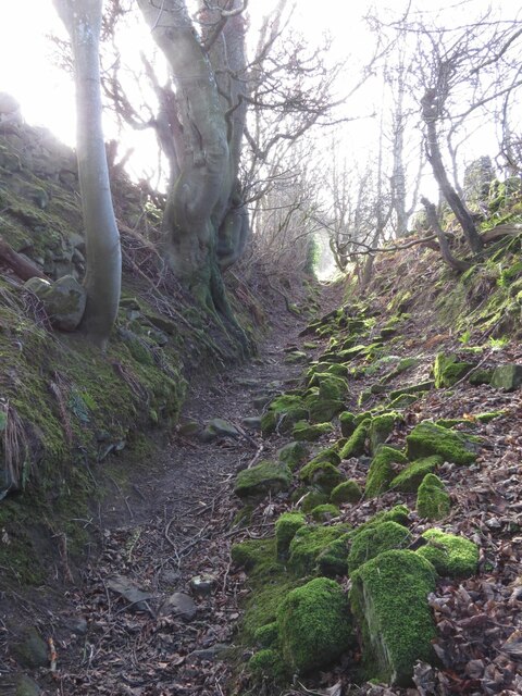
Hikers and walkers are drawn to Walton Hill due to its well-marked trails and accessibility. The paths meander through lush green landscapes, offering glimpses of local wildlife and flora along the way. The hill's summit rewards those who make the ascent with panoramic views of the surrounding countryside and beyond, including the Lomond Hills themselves.

Despite its relatively modest height, Walton Hill is a popular destination for outdoor enthusiasts of all ages and abilities. It is particularly renowned for its wildflower displays during the spring and summer months, attracting photographers and nature lovers alike. The hill also serves as a fantastic spot for birdwatching, with various species of birds making their home in the area.

Overall, Walton Hill in Fife offers a delightful experience for those seeking a tranquil escape into nature. With its picturesque trails, stunning vistas, and abundant wildlife, it is a must-visit destination for anyone exploring the region.

If you have any feedback on the listing, please let us know in the comments section below.
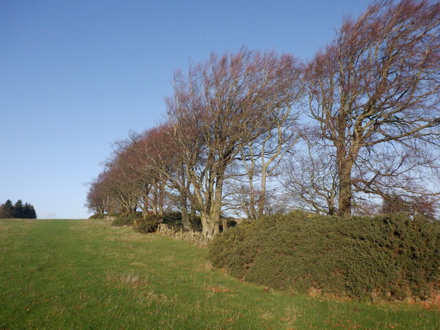
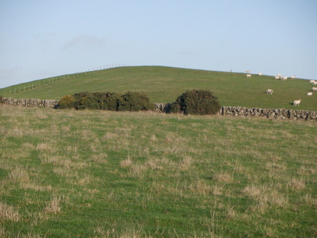
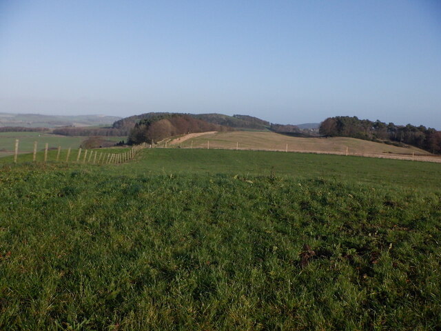
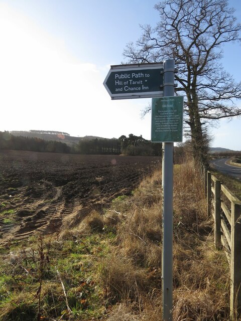
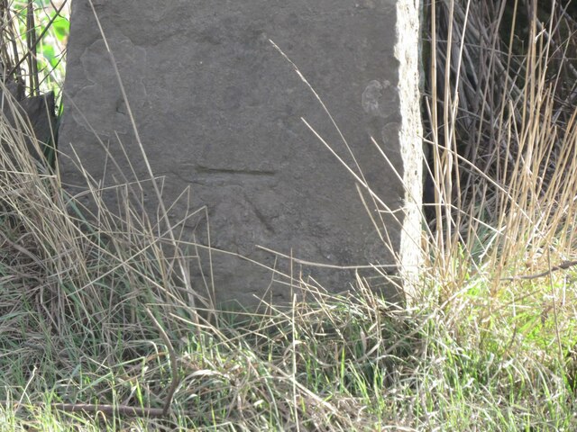
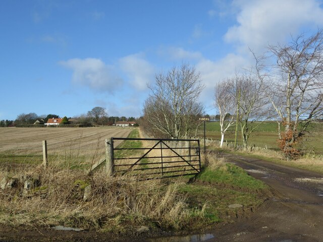
Walton Hill Images

Images are sourced within 2km of 56.282357/-3.0317656 or Grid Reference NO3610. Thanks to Geograph Open Source API. All images are credited.

1A91 Edinburgh to Aberdeen service at Springfield
Stubble, Chance Inn
Stubble, Chance Inn
Tod's Wood
Tod's Wood
Walton Hill
Walton Hill
Summit, Walton Hill
Summit, Walton Hill
The tattered remains of NCN1 I dont tag the National Cycle Network anymore since Sustrans dismantled large chunks of it making the signage confusing and actually spending money covering up the numbers and erecting silly signs like this. The route is of course still there but only promoted as a lot of fragments scattered over the land.

The road that they are worried about is quiet. (There is a short bit of A916 first)
The tattered remains of NCN1
I dont tag the National Cycle Network anymore since Sustrans dismantled large chunks of it making the signage confusing and actually spending money covering up the numbers and erecting silly signs like this. The route is of course still there but only promoted as a lot of fragments scattered over the land. The road that they are worried about is quiet. (There is a short bit of A916 first)
Benchmark, Chance Inn Ordnance Survey benchmark, described on database at <span class="nowrap"><a title="https://www.bench-marks.org.uk/bm163965" rel="nofollow ugc noopener" href="https://www.bench-marks.org.uk/bm163965">Link</a><img style="margin-left:2px;" alt="External link" title="External link - shift click to open in new window" src="https://s1.geograph.org.uk/img/external.png" width="10" height="10"/></span>. For context photo, see <a href="https://www.geograph.org.uk/photo/7462703">NO3710 : Wall, Chance Inn</a>.
Benchmark, Chance Inn
Ordnance Survey benchmark, described on database at LinkExternal link. For context photo, see NO3710 : Wall, Chance Inn.
Footpath to Chance Inn and Hill of Tarvit
Benchmark on wall near Cults Mill Ordnance Survey benchmark on wall on A914 near Cults Mill. Database entry: <span class="nowrap"><a title="https://www.bench-marks.org.uk/bm163969" rel="nofollow ugc noopener" href="https://www.bench-marks.org.uk/bm163969">Link</a><img style="margin-left:2px;" alt="External link" title="External link - shift click to open in new window" src="https://s1.geograph.org.uk/img/external.png" width="10" height="10"/></span>
Benchmark on wall near Cults Mill
Ordnance Survey benchmark on wall on A914 near Cults Mill. Database entry: LinkExternal link
Lovely old footpath to Scotstarvit Tower
A914 near Cults Lady Mary's Wood in the background.
A914 near Cults
Lady Mary's Wood in the background.
Minor road to Springfield This road leaves the A916 sharply in the next square east (NO3711) and ends at Hammerhead Toll after crossing the A914 and passing through Springfield.
Minor road to Springfield
This road leaves the A916 sharply in the next square east (NO3711) and ends at Hammerhead Toll after crossing the A914 and passing through Springfield.
Track to Findas Farm
Scotstarvit Tower
Scotstarvit Tower
Scotstarvit Tower and Cottage from the south
Crawford Priory Mausoleum For the grisly story of this tomb's inhabitant, see <span class="nowrap"><a title="https://secretscotland829724255.wordpress.com/2022/08/08/crawford-priory-mausoleum/" rel="nofollow ugc noopener" href="https://secretscotland829724255.wordpress.com/2022/08/08/crawford-priory-mausoleum/">Link</a><img style="margin-left:2px;" alt="External link" title="External link - shift click to open in new window" src="https://s1.geograph.org.uk/img/external.png" width="10" height="10"/></span>
Crawford Priory Mausoleum
For the grisly story of this tomb's inhabitant, see LinkExternal link
Wall, Chance Inn There is an Ordnance Survey benchmark on this wall. See <a href="https://www.geograph.org.uk/photo/7430123">NO3710 : Benchmark, Chance Inn</a>
Wall, Chance Inn
There is an Ordnance Survey benchmark on this wall. See NO3710 : Benchmark, Chance Inn
Barns at Cults Mill Farm
Show me another place!

Walton Hill is located at Grid Ref: NO3610 (Lat: 56.282357, Lng: -3.0317656)

Unitary Authority: Fife

Police Authority: Fife

What 3 Words

///knees.freezing.relations. Near Cupar, Fife

Related Wikis

St Andrews Burghs (UK Parliament constituency)

St Andrews Burghs was a district of burghs constituency, representing various burghs of Fife, Scotland, in the House of Commons of the Parliament of the...

Scotstarvit Tower

Scotstarvit Tower is a tower house in Fife, Scotland. It is situated 2 miles (3.2 km) south of Cupar, between Tarvit Hill and Walton Hill, south of the...

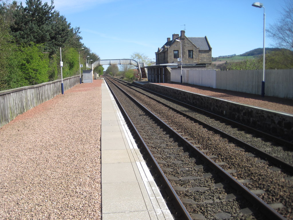
Springfield railway station (Scotland)

Springfield railway station serves the village of Springfield in Fife, Scotland. The station has two platforms and is unstaffed. Services are operated...

Hill of Tarvit

The Hill of Tarvit is a 20th-century mansion house and gardens in Fife, Scotland. They were designed by Sir Robert Lorimer and are today owned by the National...

Nearby Amenities

Located within 500m of 56.282357,-3.0317656
Walton Hill
Ele: 190
Natural: peak
Lat/Long: 56.2824892/-3.0315456
Earthwork
Historic: archaeological_site
Lat/Long: 56.2864368/-3.0341418
The data included in this document is from www.openstreetmap.org. The data is made available under ODbL.

Have you been to Walton Hill?

Leave your review of Walton Hill below (or comments, questions and feedback).